Burton is a city in Genesee County in the state of Michigan and a suburb of Flint. The population was 29,999 at the 2010 census, making Burton the second largest city in Genesee County.
| Name: | Burton city |
|---|---|
| LSAD Code: | 25 |
| LSAD Description: | city (suffix) |
| State: | Michigan |
| County: | Genesee County |
| Incorporated: | 1972 (city) |
| Elevation: | 771 ft (235 m) |
| Total Area: | 23.42 sq mi (60.67 km²) |
| Land Area: | 23.36 sq mi (60.49 km²) |
| Water Area: | 0.07 sq mi (0.17 km²) |
| Total Population: | 29,715 |
| Population Density: | 1,272.21/sq mi (491.21/km²) |
| Area code: | 810 |
| FIPS code: | 2612060 |
| GNISfeature ID: | 1675445 |
| Website: | www.burtonmi.gov |
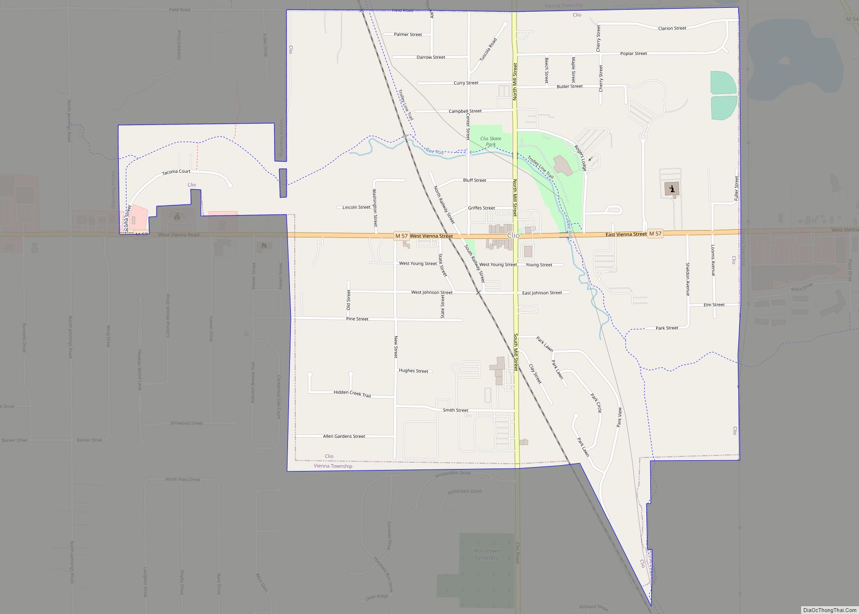
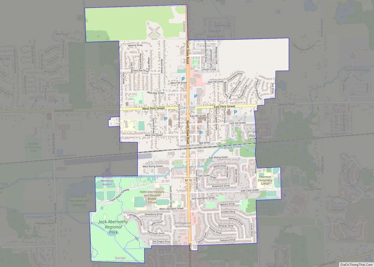
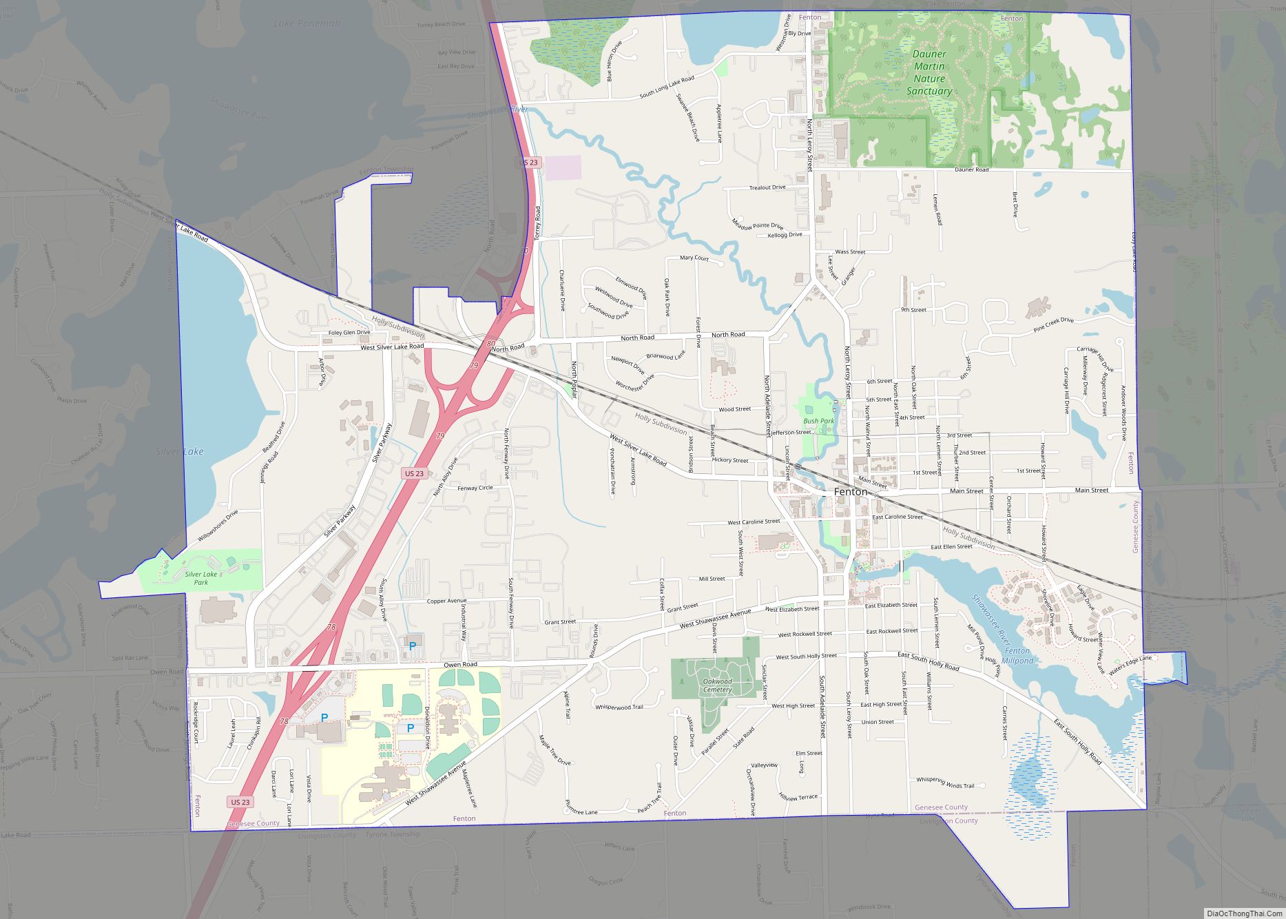
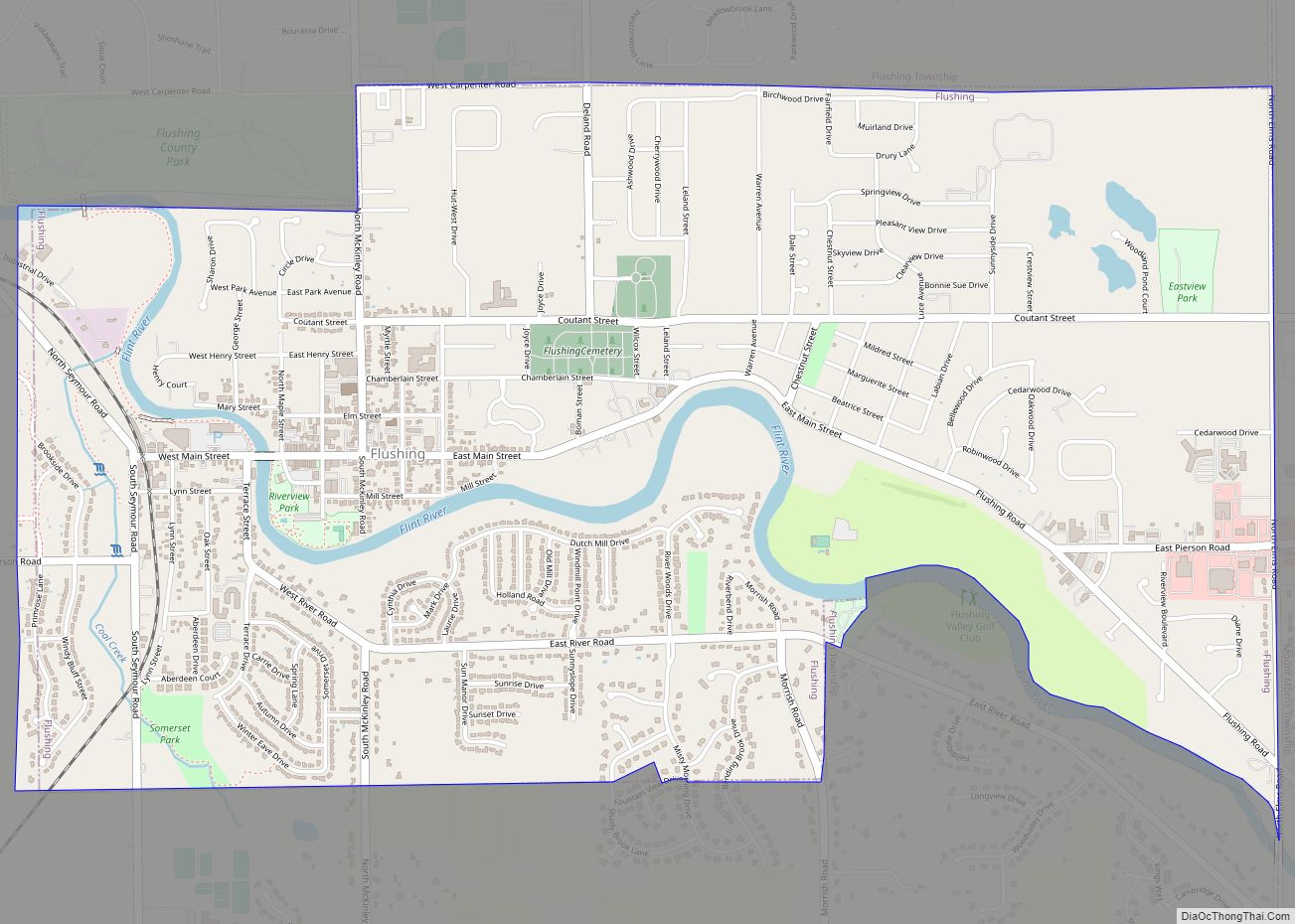
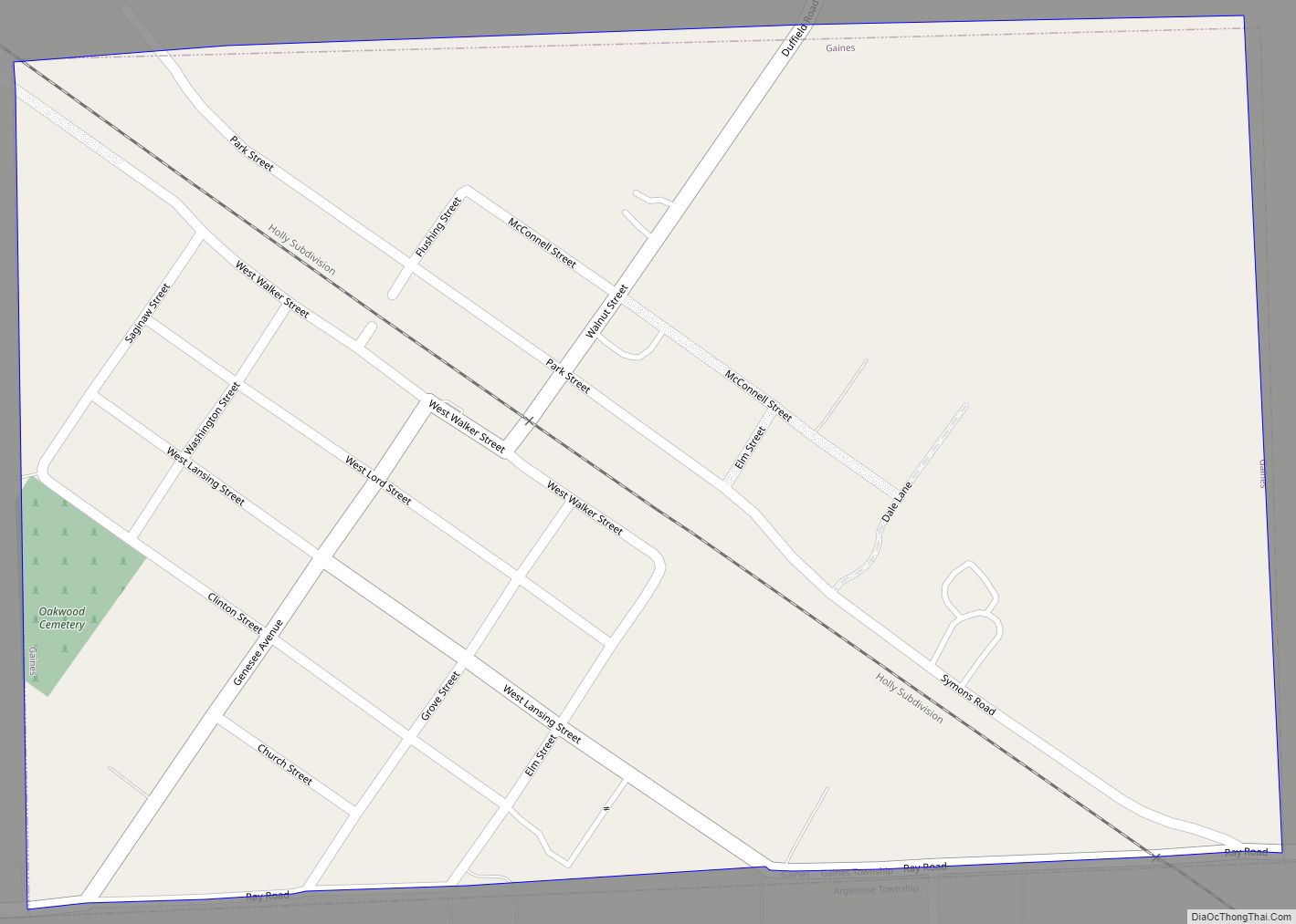
Online Interactive Map
Click on ![]() to view map in "full screen" mode.
to view map in "full screen" mode.
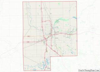
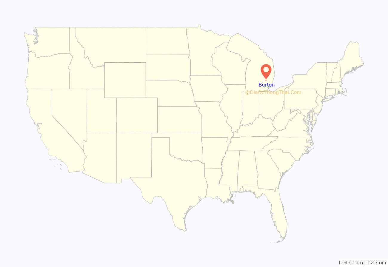
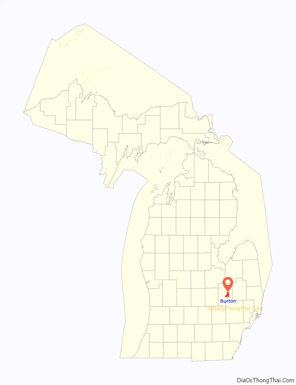
Burton location map. Where is Burton city?
History
Although there were Native Americans and trappers whom lived on land earlier, and even some who attempted to settle by there, many of the original settlers of Burton came from the towns of Adams and Henderson in Jefferson County, New York. For 20 years, this area was known as the Atherton settlement, after brothers Shubael and Perus Atherton and nephew Pliny Atherton Skinner (and later joined by another brother, Adonijah), who settled on the Thread Creek in 1835. Atherton descendants still live in Burton in 2014.
Township
The City of Burton was organized as Burton Township, in 1855. Burton Township had first been a part of Flint Township. The North part of Burton was part of Kearsley Township along with the Southern part of Genesee Township from 1839 until 1843 when the township was merged back (for school purposes) into Flint Township. When the City of Flint incorporated, Burton Township was separated from Flint Township by the Genesee County Board of Supervisors on October 12, 1855, although the first township meeting did not take place until April 7, 1856, which is sometimes taken as the actual date of organization. On December 13, 1861, a post office was opened with Horace L. Donelson as postmaster and only operated until August 6 of the next year.
Over the years, large portions of the northern and western sides of the township were annexed by the City of Flint for revenues.
City
On May 16, 1972, township residents voted to incorporate and the City of Burton was officially formed July 1 of that year. Burton began receiving Karegnondi Water Authority water treated by Genesee County Drain Commission Water and Waste Division on December 15, 2017.
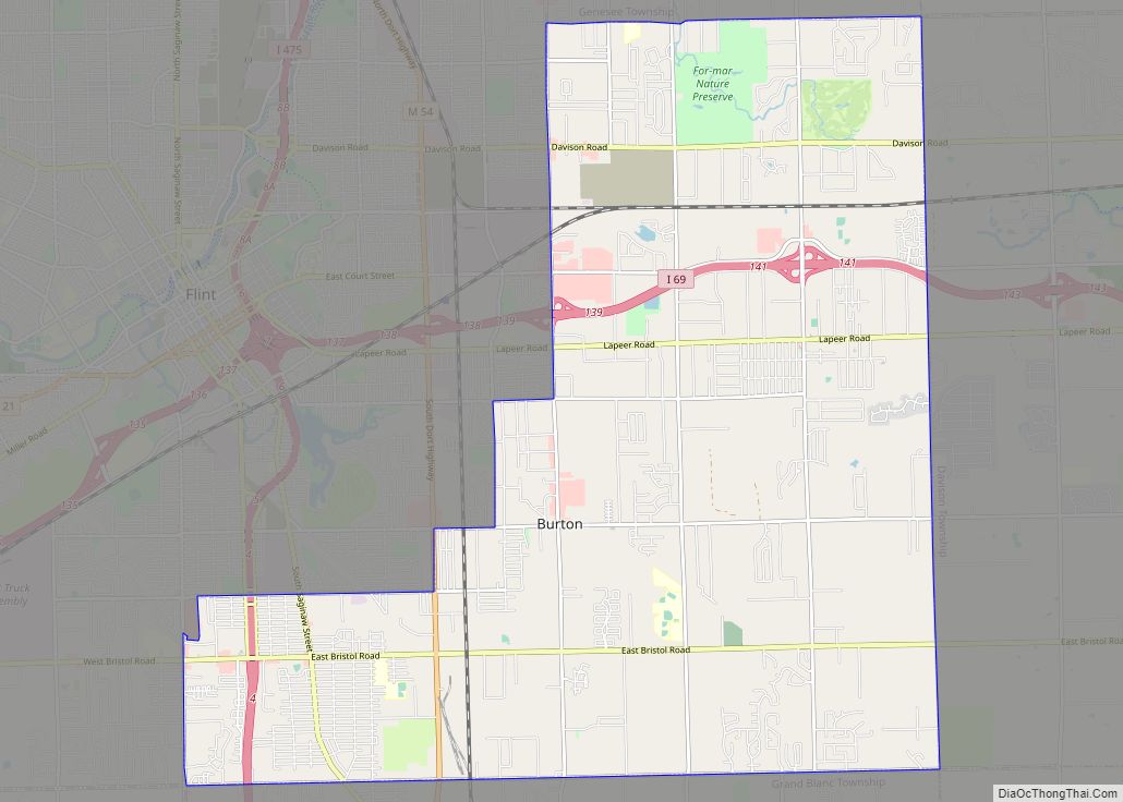
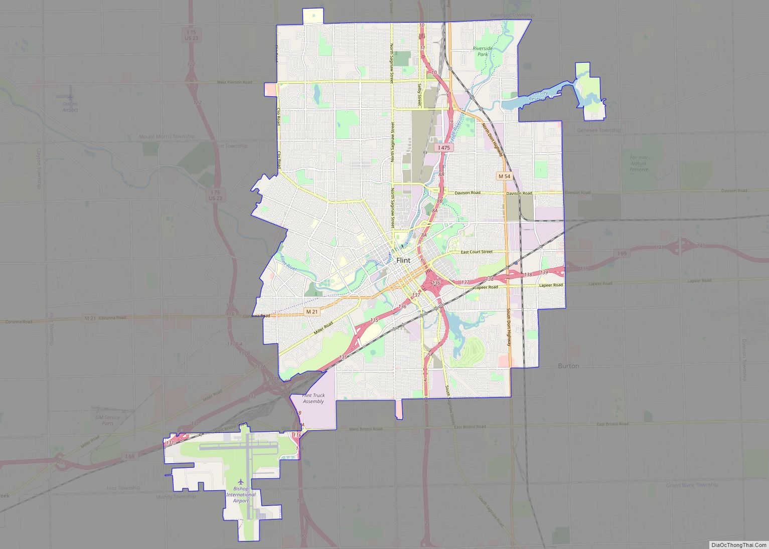
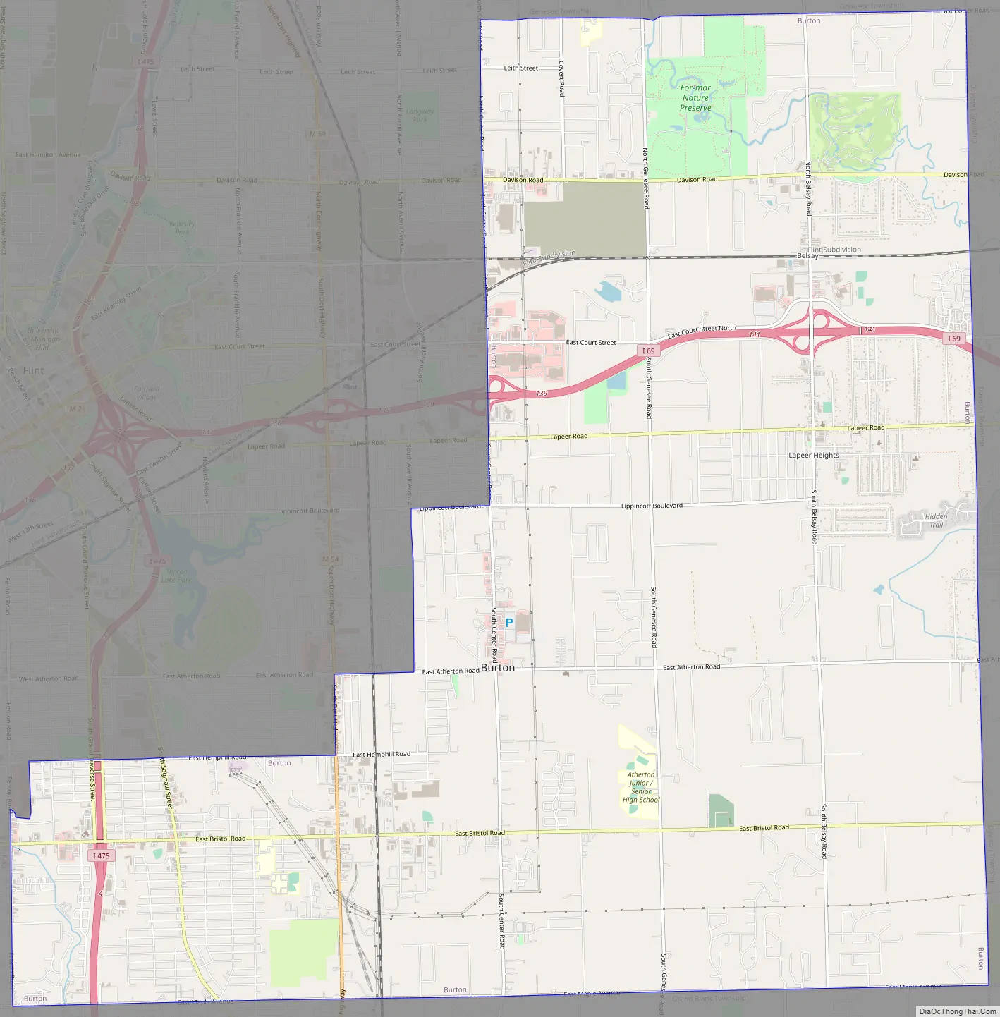
Burton Road Map
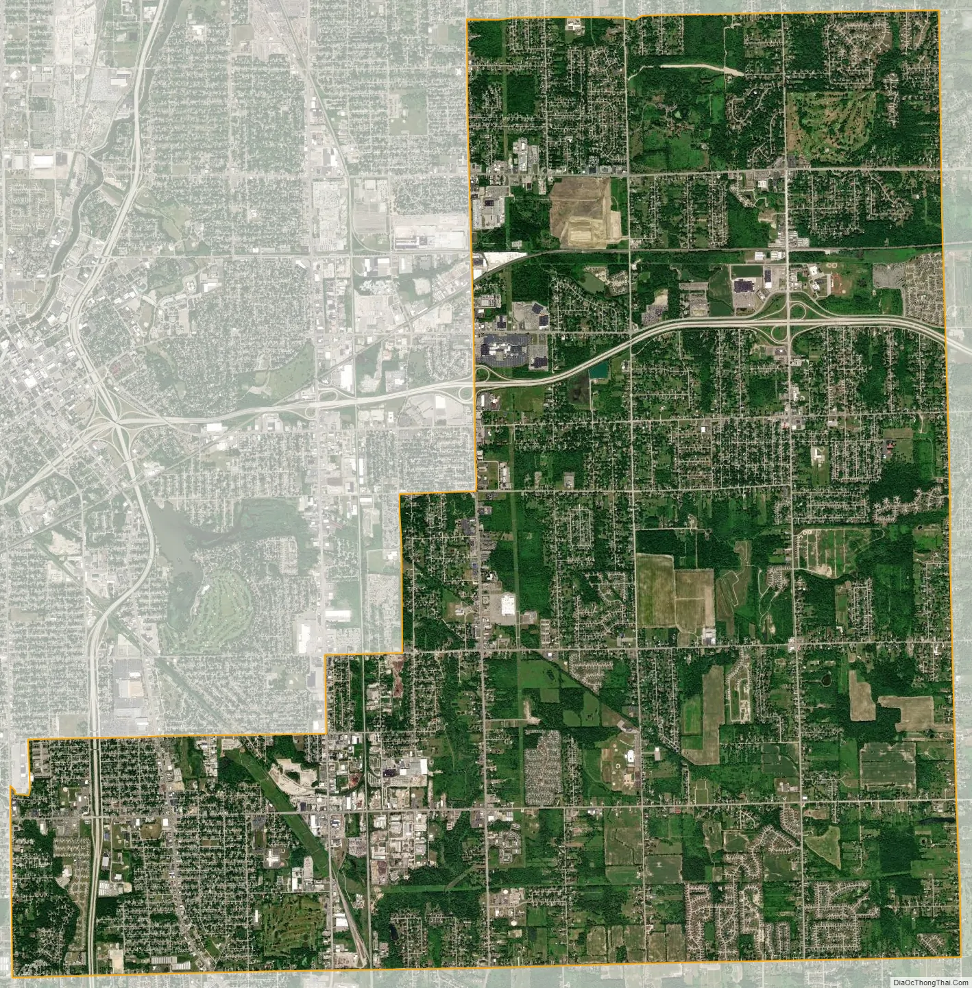
Burton city Satellite Map
Geography
According to the United States Census Bureau, the city has a total area of 23.43 square miles (60.68 km), of which 23.36 square miles (60.50 km) is land and 0.07 square miles (0.18 km) is water.
See also
Map of Michigan State and its subdivision:- Alcona
- Alger
- Allegan
- Alpena
- Antrim
- Arenac
- Baraga
- Barry
- Bay
- Benzie
- Berrien
- Branch
- Calhoun
- Cass
- Charlevoix
- Cheboygan
- Chippewa
- Clare
- Clinton
- Crawford
- Delta
- Dickinson
- Eaton
- Emmet
- Genesee
- Gladwin
- Gogebic
- Grand Traverse
- Gratiot
- Hillsdale
- Houghton
- Huron
- Ingham
- Ionia
- Iosco
- Iron
- Isabella
- Jackson
- Kalamazoo
- Kalkaska
- Kent
- Keweenaw
- Lake
- Lake Hurron
- Lake Michigan
- Lake St. Clair
- Lake Superior
- Lapeer
- Leelanau
- Lenawee
- Livingston
- Luce
- Mackinac
- Macomb
- Manistee
- Marquette
- Mason
- Mecosta
- Menominee
- Midland
- Missaukee
- Monroe
- Montcalm
- Montmorency
- Muskegon
- Newaygo
- Oakland
- Oceana
- Ogemaw
- Ontonagon
- Osceola
- Oscoda
- Otsego
- Ottawa
- Presque Isle
- Roscommon
- Saginaw
- Saint Clair
- Saint Joseph
- Sanilac
- Schoolcraft
- Shiawassee
- Tuscola
- Van Buren
- Washtenaw
- Wayne
- Wexford
- Alabama
- Alaska
- Arizona
- Arkansas
- California
- Colorado
- Connecticut
- Delaware
- District of Columbia
- Florida
- Georgia
- Hawaii
- Idaho
- Illinois
- Indiana
- Iowa
- Kansas
- Kentucky
- Louisiana
- Maine
- Maryland
- Massachusetts
- Michigan
- Minnesota
- Mississippi
- Missouri
- Montana
- Nebraska
- Nevada
- New Hampshire
- New Jersey
- New Mexico
- New York
- North Carolina
- North Dakota
- Ohio
- Oklahoma
- Oregon
- Pennsylvania
- Rhode Island
- South Carolina
- South Dakota
- Tennessee
- Texas
- Utah
- Vermont
- Virginia
- Washington
- West Virginia
- Wisconsin
- Wyoming