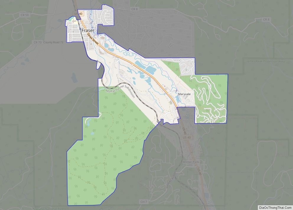
The Town of Fraser is a Statutory Town located in Grand County, Colorado, United States. The town population was 1,400 at the 2020 United States Census, a +14.38% increase since the 2010 United States Census. The town is situated in Middle Park in the valley of the Fraser River along U.S. Highway 40. Its location northwest of Winter Park, the location of a popular ski resort, has provided growth in recent years with new condominium and other real estate developments.
| Name: | Fraser town |
|---|---|
| LSAD Code: | 43 |
| LSAD Description: | town (suffix) |
| State: | Colorado |
| County: | Grand County |
| Elevation: | 8,580 ft (2,615 m) |
| Total Area: | 3.462 sq mi (8.966 km²) |
| Land Area: | 3.457 sq mi (8.953 km²) |
| Water Area: | 0.005 sq mi (0.013 km²) |
| Total Population: | 1,400 |
| Population Density: | 400/sq mi (160/km²) |
| ZIP code: | 80442 |
| Area code: | 970 |
| FIPS code: | 0828305 |
| GNISfeature ID: | 204701 |
| Website: | www.frasercolorado.com |
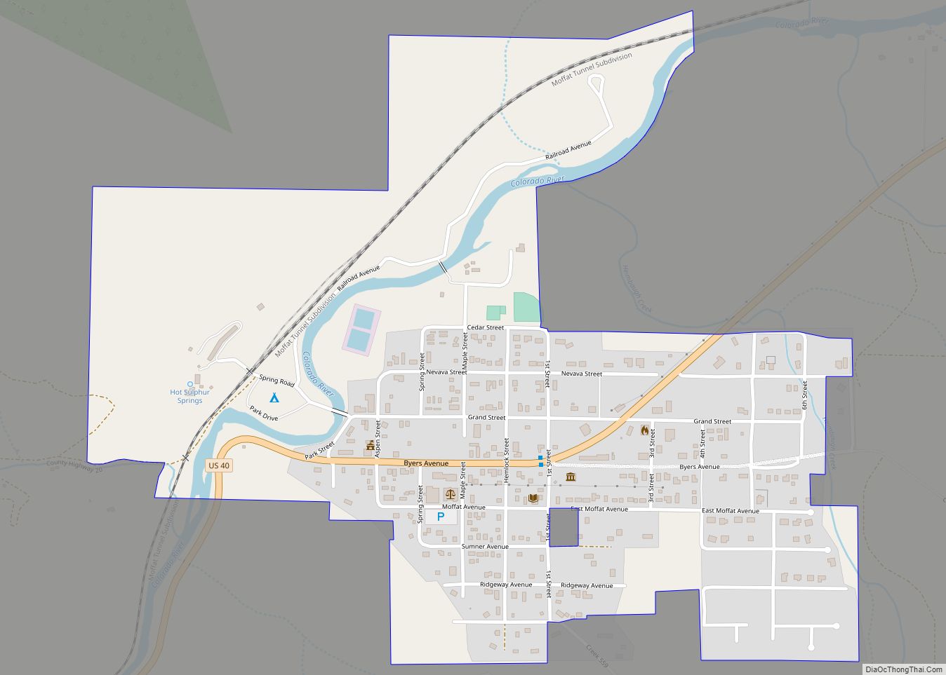
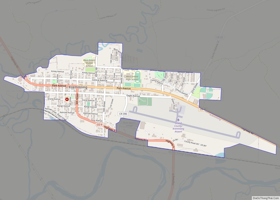
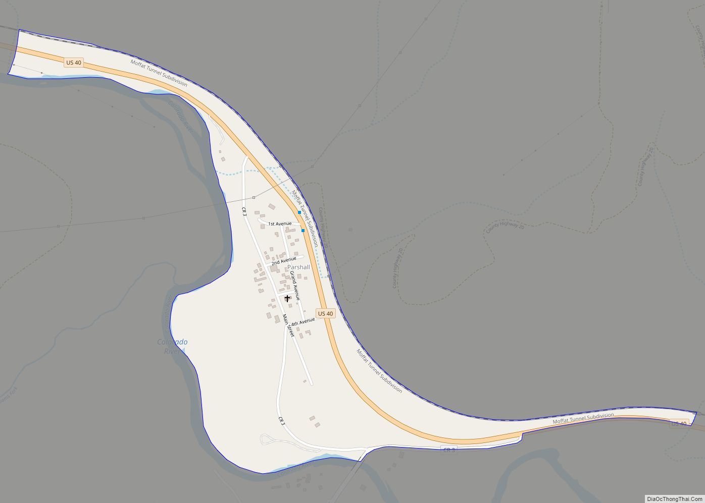
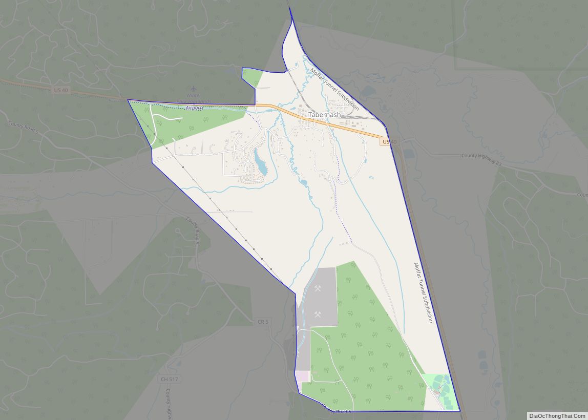
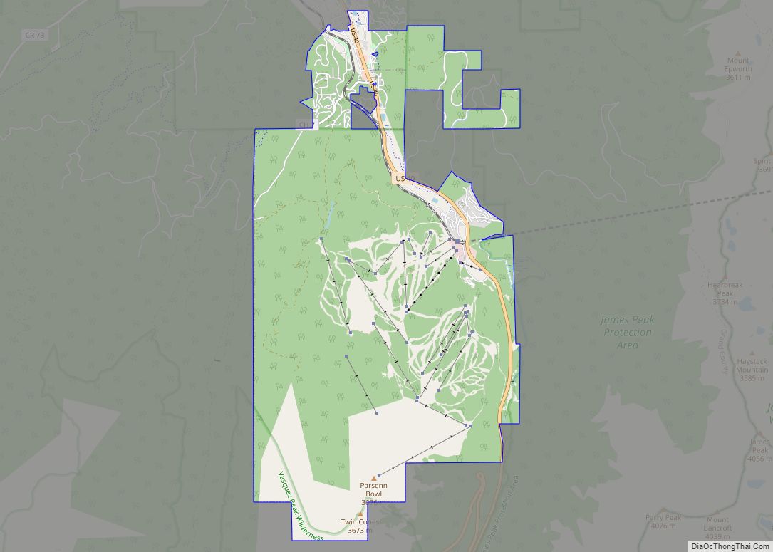
Online Interactive Map
Click on ![]() to view map in "full screen" mode.
to view map in "full screen" mode.
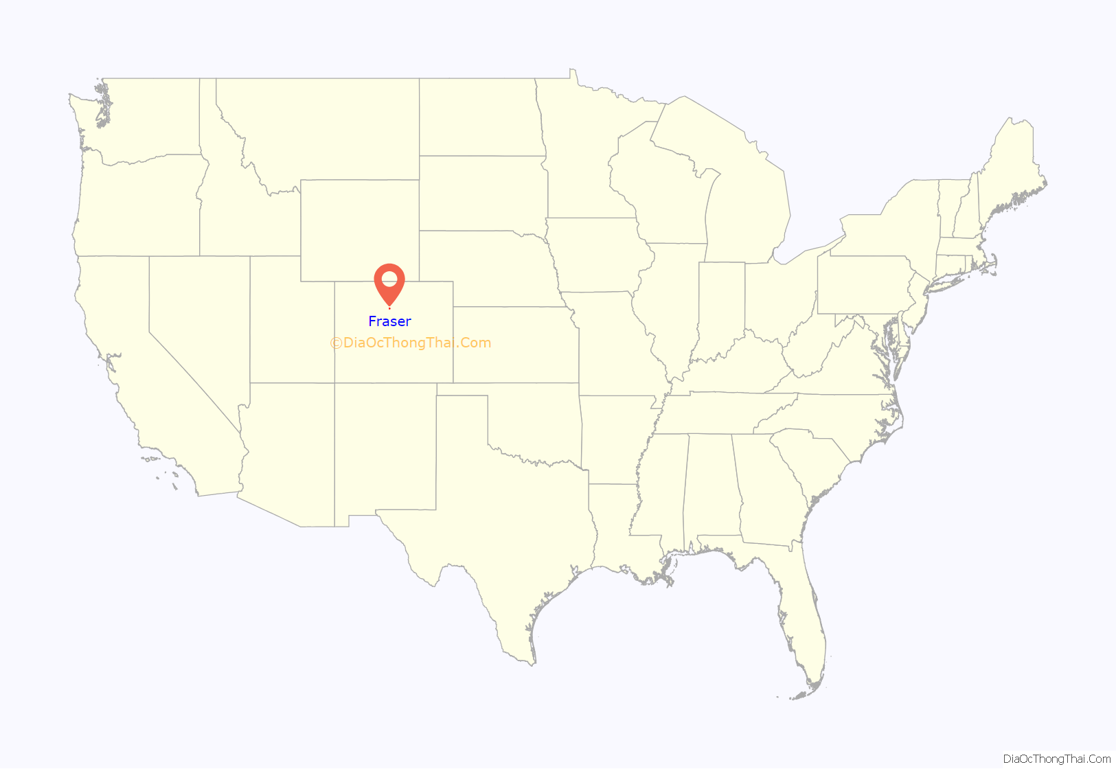
Fraser location map. Where is Fraser town?
History
Fraser was incorporated in 1953. A post office called Fraser has been in operation since 1876. The town derives its name from Reuben Frazer, a pioneer settler.
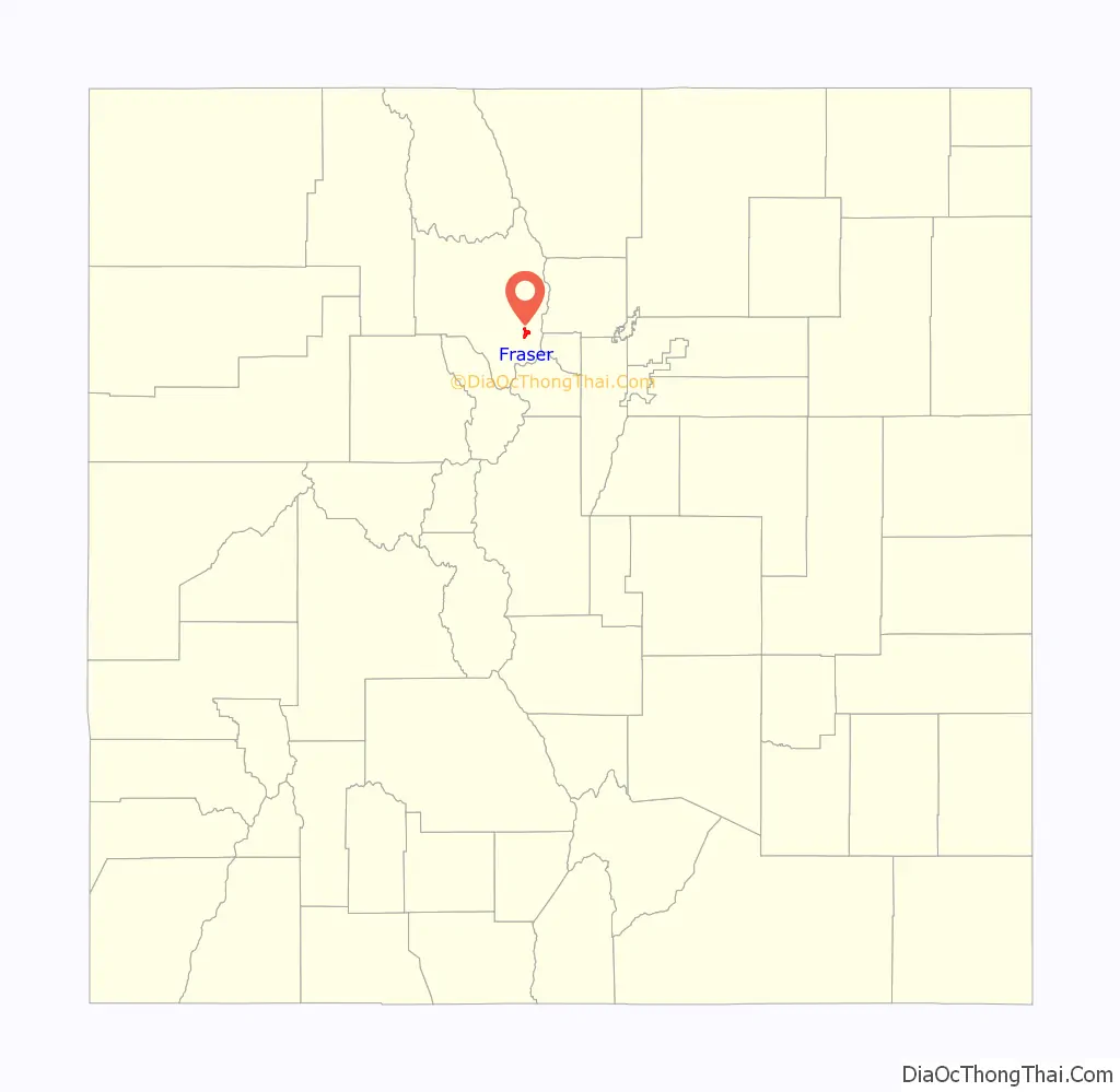
Fraser Road Map

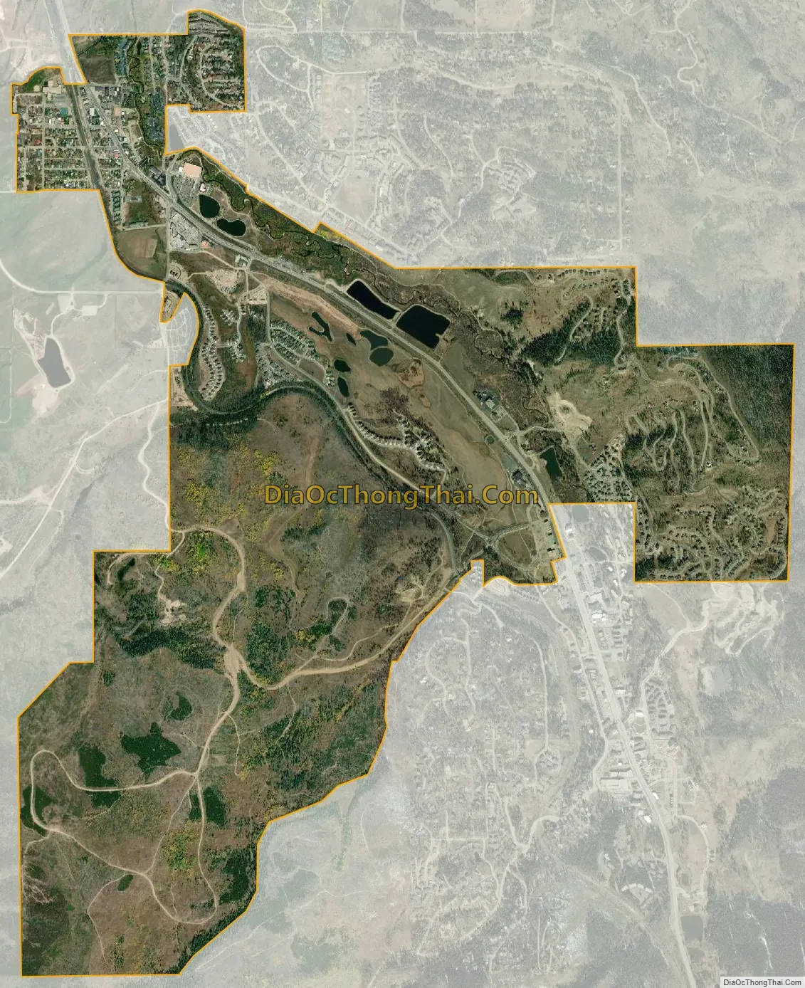
Fraser city Satellite Map
Geography
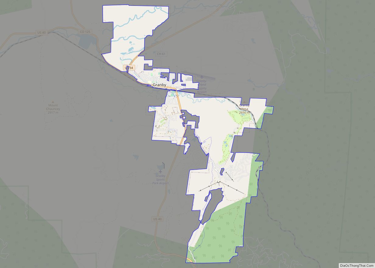
Fraser is located in southeastern Grand County at 39°56′39″N 105°48′48″W / 39.94417°N 105.81333°W / 39.94417; -105.81333 (39.944158, -105.813355), at an elevation of 8,574 feet (2,613 m) above sea level. It is bordered to the south by the town of Winter Park and to the north by unincorporated Tabernash. U.S. Route 40 leads south and east across Berthoud Pass 71 miles (114 km) to Denver, and northwest 15 miles (24 km) to Granby, the largest town in Grand County.
At the 2020 United States Census, the town had a total area of 2,216 acres (8.966 km) including 3.2 acres (0.013 km) of water. The Fraser River passes through the east side of town, flowing northward toward the Colorado River.
Climate
Fraser, with an annual mean temperature of 36.0 °F (2.2 °C) (or 34.8 °F (1.6 °C) based on another station in town) is one of the coldest incorporated towns in the lower 48 states. It can and does get frost year-round, totaling 287.3 nights under 32 °F (0 °C), rivalled only by towns in northern Alaska and Bodie, California, among currently inhabited localities in the United States. The total of 63.4 nights under 0 °F (−17.8 °C) is also among the highest in the contiguous 48 states, but the 59.9 days with highs not topping freezing is exceeded by substantial areas of North Dakota, Minnesota, northern Wisconsin and the Upper Peninsula of Michigan. Both Fraser and International Falls, Minnesota, have claimed the title “Icebox of the Nation”, which has caused conflict between the two towns over the years.
According to the Köppen climate classification system, Fraser has a subarctic climate, abbreviated Dfc on climate maps. The hottest temperature recorded in Fraser is 98 °F (36.7 °C) on August 1, 1969, and the coldest −53 °F (−47.2 °C) on January 10, 1962. The wettest calendar year has been 1957 with 30.33 inches (770.4 mm) and the driest 1944 with 11.04 inches (280.4 mm), whilst the most precipitation in one month has been 7.69 inches (195.3 mm) in September 1961. Snowfall is naturally heavy at 143.2 inches (3.64 m) and has ranged up to 82.4 inches (2.09 m) in February 1936 and 275.5 inches (7.00 m) from July 1926 to June 1927.
A freeze has been recorded for every single date of the year, one of the only locations in the entire United States to hold that record.
Icebox of the Nation
Fraser, Colorado has been in a dispute with International Falls, Minnesota since 1956 over use of the trademark “Icebox of the Nation.” After several years of legal battles, the United States Patent and Trademark Office officially registered the slogan with International Falls on January 29, 2008.
See also
Map of Colorado State and its subdivision:- Adams
- Alamosa
- Arapahoe
- Archuleta
- Baca
- Bent
- Boulder
- Broomfield
- Chaffee
- Cheyenne
- Clear Creek
- Conejos
- Costilla
- Crowley
- Custer
- Delta
- Denver
- Dolores
- Douglas
- Eagle
- El Paso
- Elbert
- Fremont
- Garfield
- Gilpin
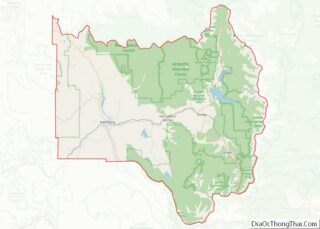
- Grand
- Gunnison
- Hinsdale
- Huerfano
- Jackson
- Jefferson
- Kiowa
- Kit Carson
- La Plata
- Lake
- Larimer
- Las Animas
- Lincoln
- Logan
- Mesa
- Mineral
- Moffat
- Montezuma
- Montrose
- Morgan
- Otero
- Ouray
- Park
- Phillips
- Pitkin
- Prowers
- Pueblo
- Rio Blanco
- Rio Grande
- Routt
- Saguache
- San Juan
- San Miguel
- Sedgwick
- Summit
- Teller
- Washington
- Weld
- Yuma
- Alabama
- Alaska
- Arizona
- Arkansas
- California
- Colorado
- Connecticut
- Delaware
- District of Columbia
- Florida
- Georgia
- Hawaii
- Idaho
- Illinois
- Indiana
- Iowa
- Kansas
- Kentucky
- Louisiana
- Maine
- Maryland
- Massachusetts
- Michigan
- Minnesota
- Mississippi
- Missouri
- Montana
- Nebraska
- Nevada
- New Hampshire
- New Jersey
- New Mexico
- New York
- North Carolina
- North Dakota
- Ohio
- Oklahoma
- Oregon
- Pennsylvania
- Rhode Island
- South Carolina
- South Dakota
- Tennessee
- Texas
- Utah
- Vermont
- Virginia
- Washington
- West Virginia
- Wisconsin
- Wyoming