Bloomfield is a town within Richland Township and the county seat of Greene County, Indiana, United States. The population was 2,405 at the 2010 census.
Bloomfield is part of the Bloomington, Indiana Metropolitan Statistical Area.
| Name: | Bloomfield town |
|---|---|
| LSAD Code: | 43 |
| LSAD Description: | town (suffix) |
| State: | Indiana |
| County: | Greene County |
| Elevation: | 607 ft (185 m) |
| Total Area: | 1.41 sq mi (3.65 km²) |
| Land Area: | 1.41 sq mi (3.65 km²) |
| Water Area: | 0.00 sq mi (0.00 km²) |
| Total Population: | 2,289 |
| Population Density: | 1,625.71/sq mi (627.68/km²) |
| ZIP code: | 47424 |
| Area code: | 812 |
| FIPS code: | 1805716 |
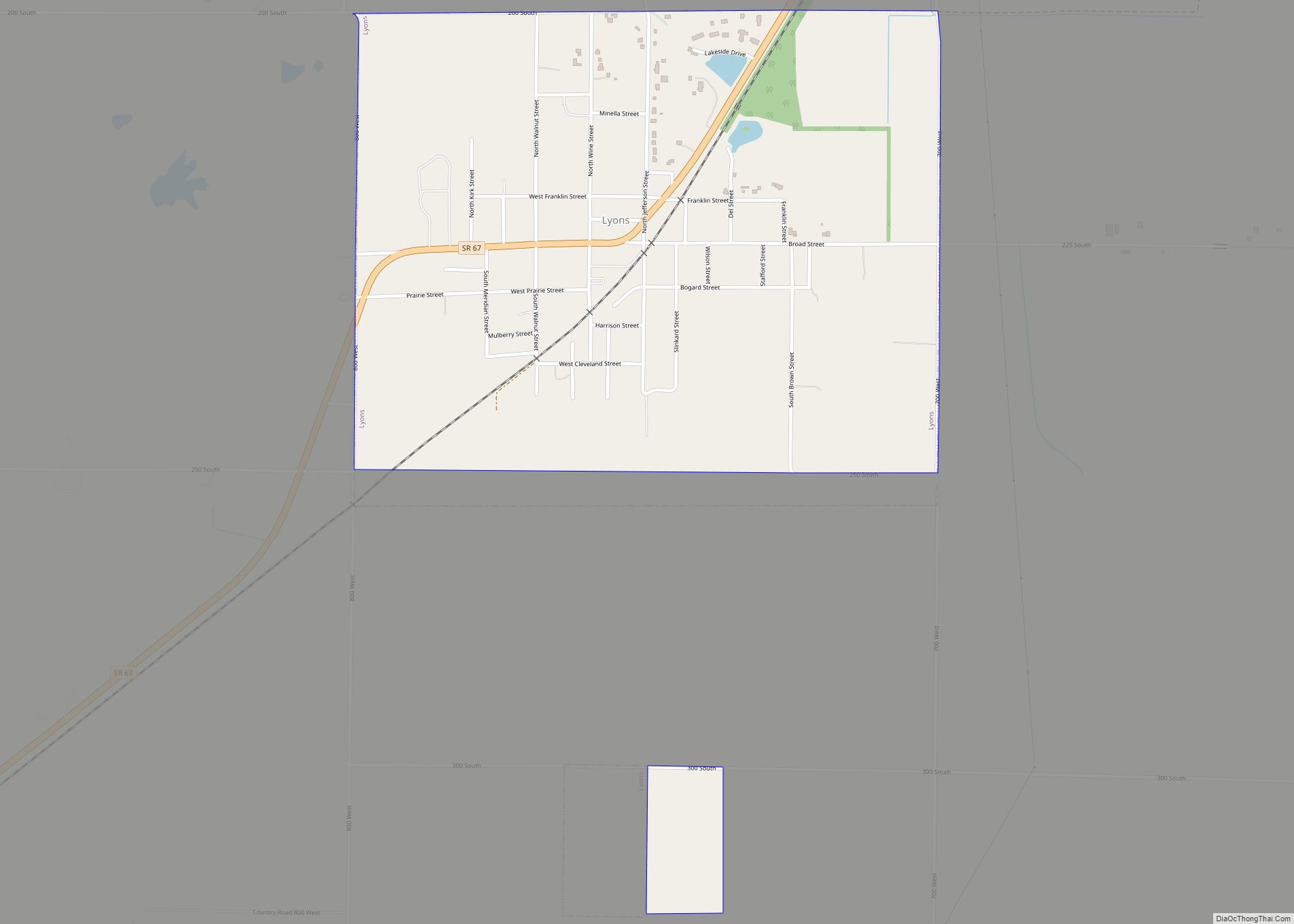
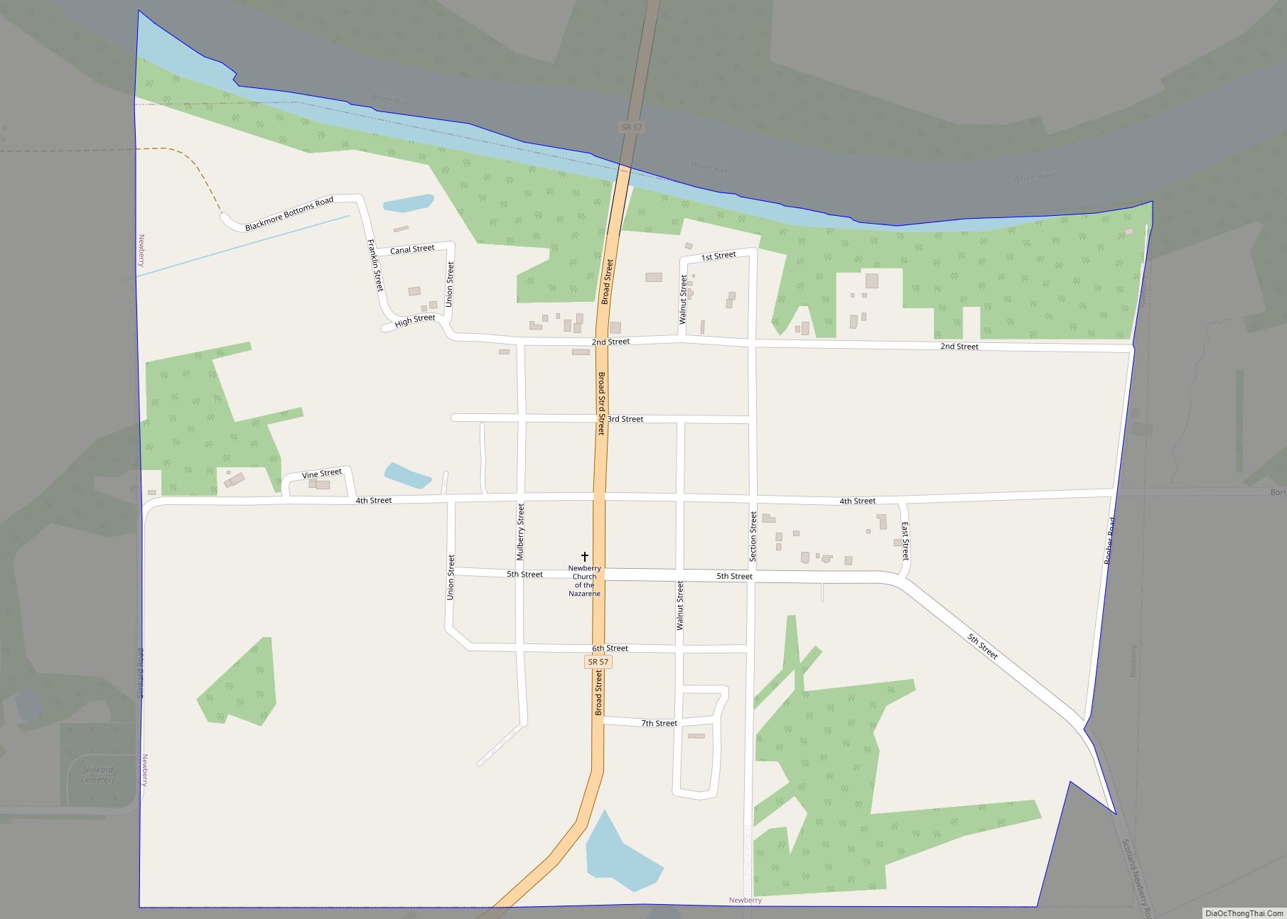
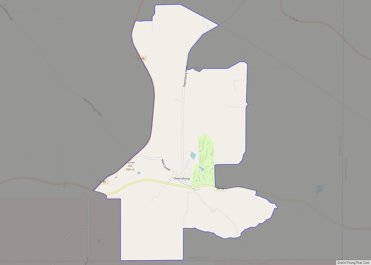
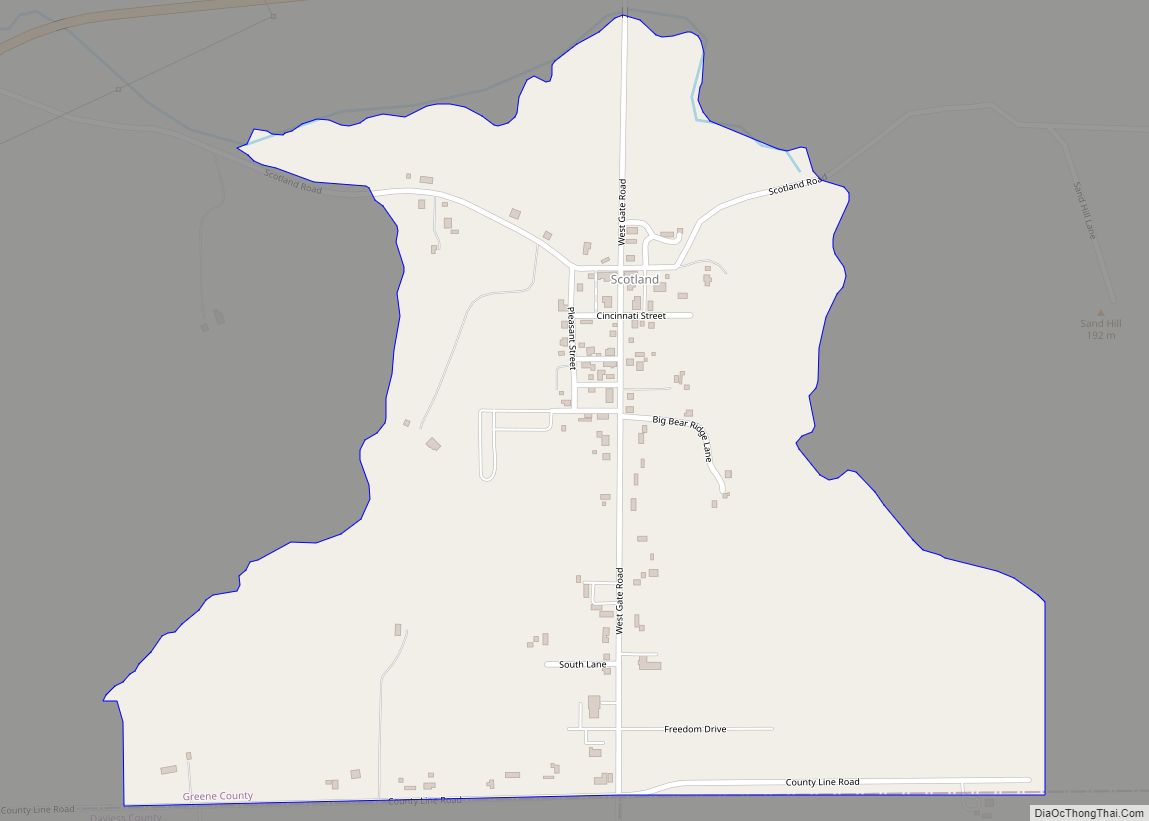
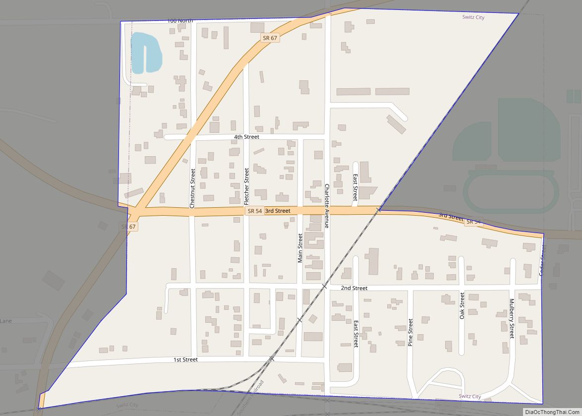
Online Interactive Map
Click on ![]() to view map in "full screen" mode.
to view map in "full screen" mode.
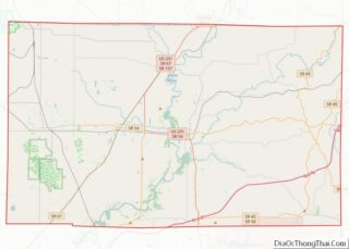
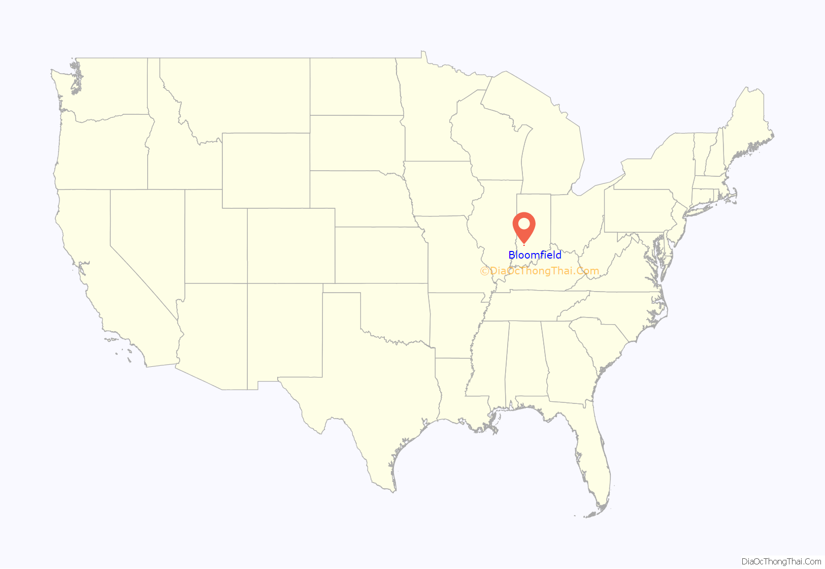
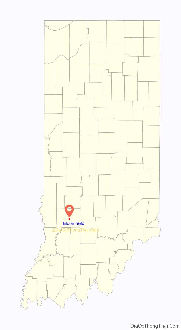
Bloomfield location map. Where is Bloomfield town?
History
The area where Bloomfield is located has been inhabited by Native Americans since prehistory. Tribes that have lived in the area include the Miami tribe, Kickapoo, Piankeshaw and Wea. A settlement of Woodland period people has been excavated by Indiana and Ball State Universities research teams near the confluence of Richland Creek and the White River south of Bloomfield.
The town of Bloomfield was laid out in 1824 when Greene County needed a new county seat due to the lack of a reliable water source for the town of Burlington. Burlington was located west of Bloomfield near the west fork of the White River.
The Greene County Courthouse, a log building in the town’s center, was the town’s first building. The current Greene County Courthouse, a brick structure built in the late 19th century, stands at the same location. An expansion and renovation project was completed in 2008. It was listed on the National Register of Historic Places in 2008.
In 1824, Peter Cornelius Van Slyke donated land to Greene County for the purpose of establishing a new county seat. Van Slyke was born on the Mohawk River in Schenectady County, New York, on April 5, 1766. He migrated to southern Indiana in 1816. Van Slyke was a veteran of the War of 1812 and died on September 25, 1834.
Bloomfield Jr./Sr. High School has also been home to Indiana Basketball Hall of Fame coaches Guy Glover (1954-1977) and Steve Brett (1978-1993).
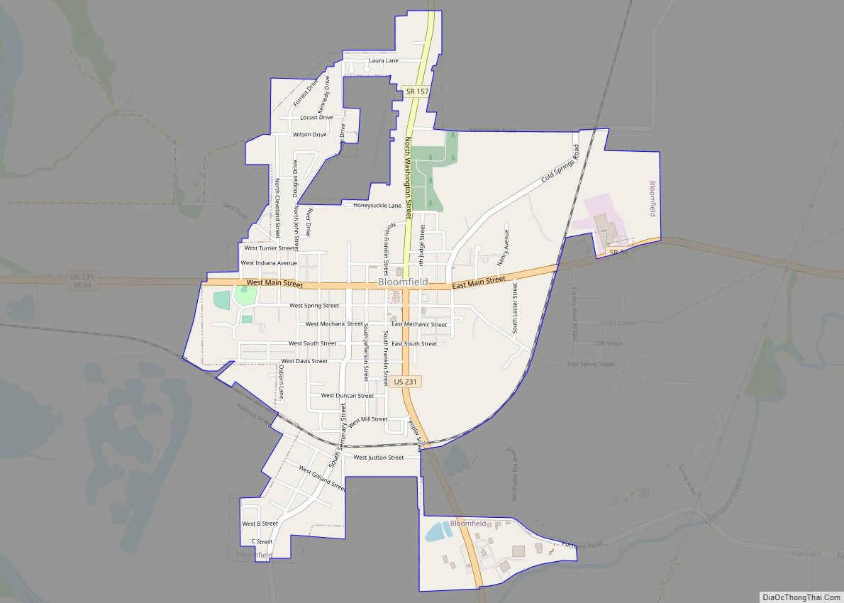
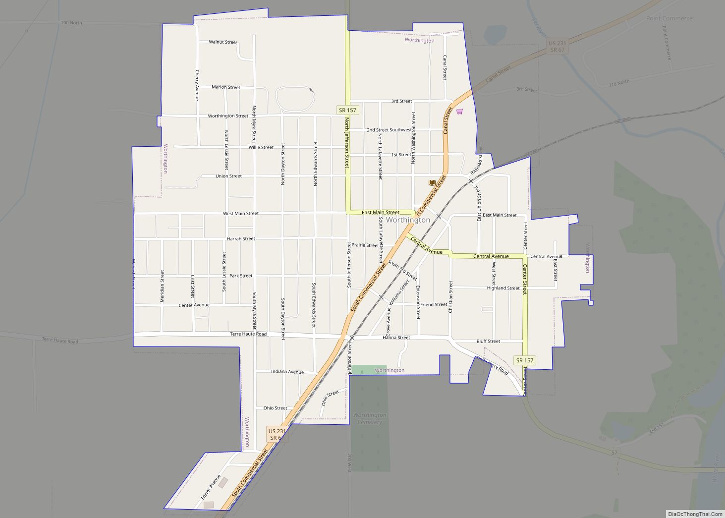
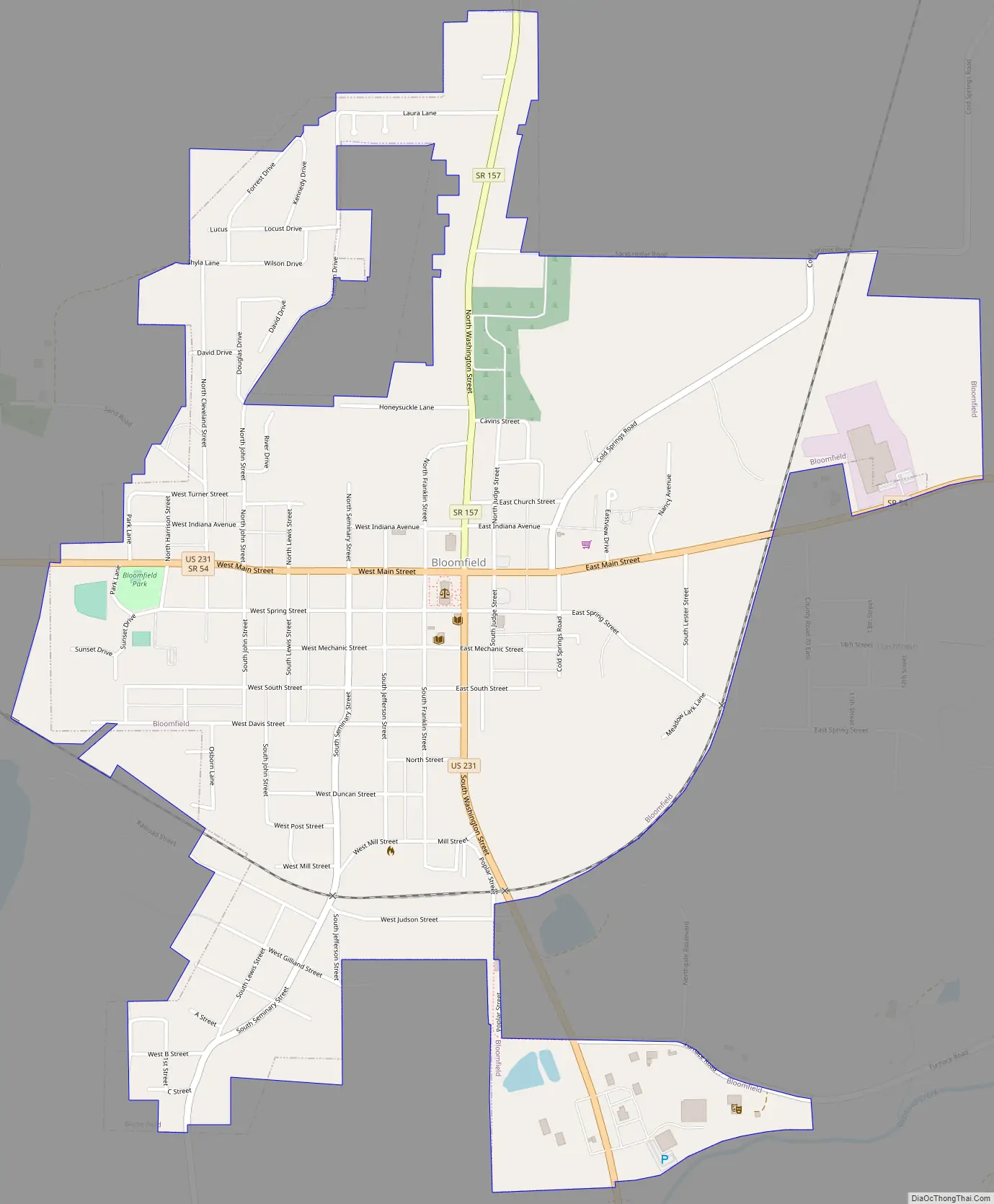
Bloomfield Road Map
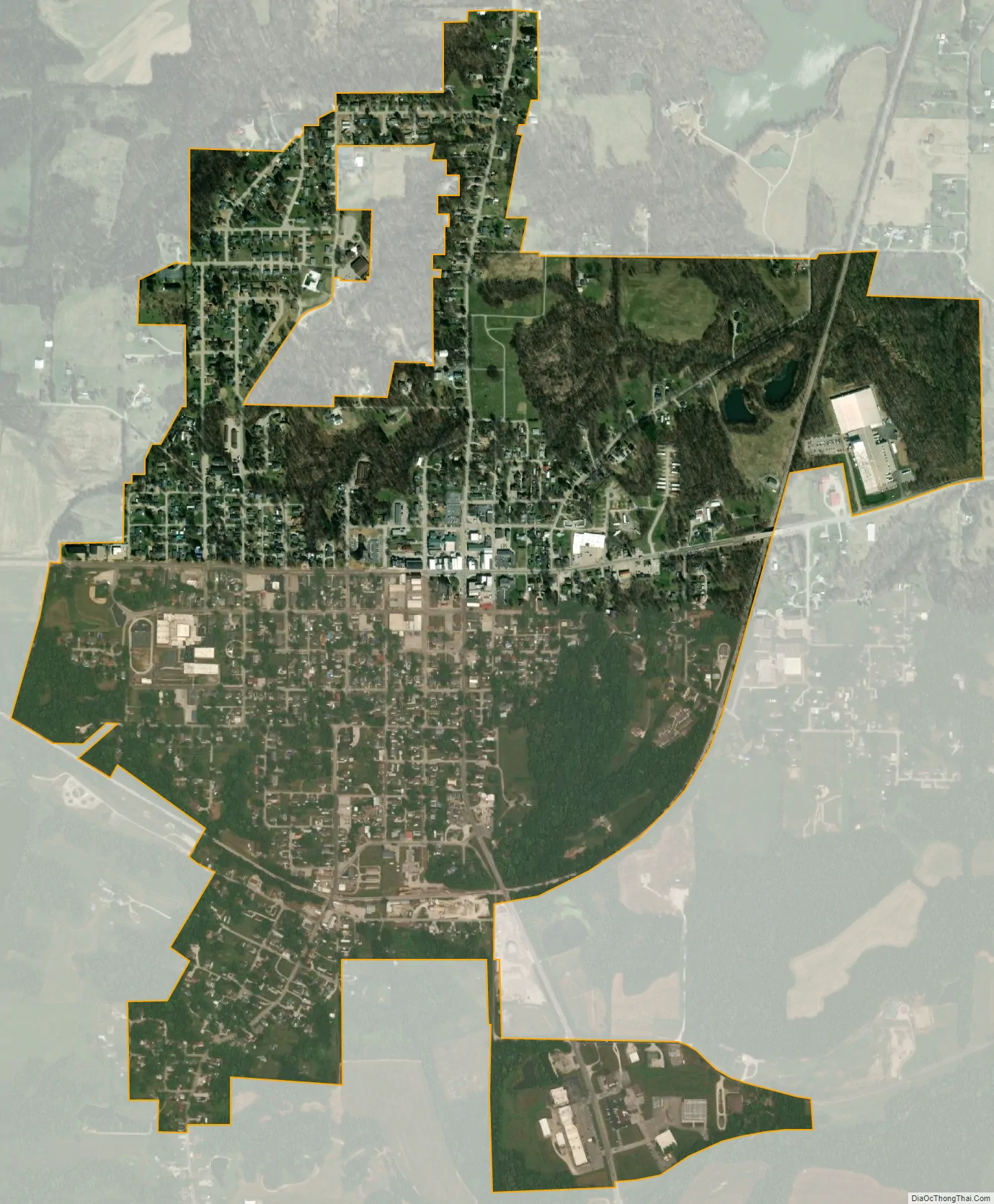
Bloomfield city Satellite Map
Geography
According to the 2010 census, Bloomfield has a total area of 1.38 square miles (3.57 km), all land.
See also
Map of Indiana State and its subdivision:- Adams
- Allen
- Bartholomew
- Benton
- Blackford
- Boone
- Brown
- Carroll
- Cass
- Clark
- Clay
- Clinton
- Crawford
- Daviess
- De Kalb
- Dearborn
- Decatur
- Delaware
- Dubois
- Elkhart
- Fayette
- Floyd
- Fountain
- Franklin
- Fulton
- Gibson
- Grant
- Greene
- Hamilton
- Hancock
- Harrison
- Hendricks
- Henry
- Howard
- Huntington
- Jackson
- Jasper
- Jay
- Jefferson
- Jennings
- Johnson
- Knox
- Kosciusko
- LaGrange
- Lake
- Lake Michigan
- LaPorte
- Lawrence
- Madison
- Marion
- Marshall
- Martin
- Miami
- Monroe
- Montgomery
- Morgan
- Newton
- Noble
- Ohio
- Orange
- Owen
- Parke
- Perry
- Pike
- Porter
- Posey
- Pulaski
- Putnam
- Randolph
- Ripley
- Rush
- Saint Joseph
- Scott
- Shelby
- Spencer
- Starke
- Steuben
- Sullivan
- Switzerland
- Tippecanoe
- Tipton
- Union
- Vanderburgh
- Vermillion
- Vigo
- Wabash
- Warren
- Warrick
- Washington
- Wayne
- Wells
- White
- Whitley
- Alabama
- Alaska
- Arizona
- Arkansas
- California
- Colorado
- Connecticut
- Delaware
- District of Columbia
- Florida
- Georgia
- Hawaii
- Idaho
- Illinois
- Indiana
- Iowa
- Kansas
- Kentucky
- Louisiana
- Maine
- Maryland
- Massachusetts
- Michigan
- Minnesota
- Mississippi
- Missouri
- Montana
- Nebraska
- Nevada
- New Hampshire
- New Jersey
- New Mexico
- New York
- North Carolina
- North Dakota
- Ohio
- Oklahoma
- Oregon
- Pennsylvania
- Rhode Island
- South Carolina
- South Dakota
- Tennessee
- Texas
- Utah
- Vermont
- Virginia
- Washington
- West Virginia
- Wisconsin
- Wyoming