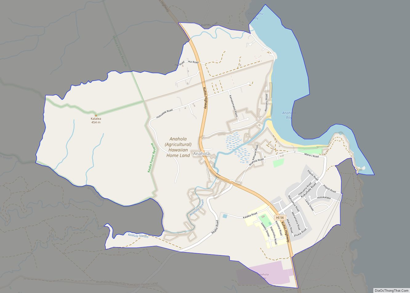
Anahola (literally “deadly winds” in Hawaiian) is a census-designated place (CDP) in Kauaʻi County, Hawaiʻi, United States. The population was 2,311 at the 2020 census, up from 1,932 at the 2000 census.
| Name: | Anahola CDP |
|---|---|
| LSAD Code: | 57 |
| LSAD Description: | CDP (suffix) |
| State: | Hawaii |
| County: | Kauai County |
| Elevation: | 30 ft (9 m) |
| Total Area: | 4.07 sq mi (10.54 km²) |
| Land Area: | 3.69 sq mi (9.54 km²) |
| Water Area: | 0.39 sq mi (1.00 km²) |
| Total Population: | 2,243 |
| Population Density: | 608.68/sq mi (235.04/km²) |
| ZIP code: | 96703 |
| Area code: | 808 |
| FIPS code: | 1502200 |
| GNISfeature ID: | 0358587 |
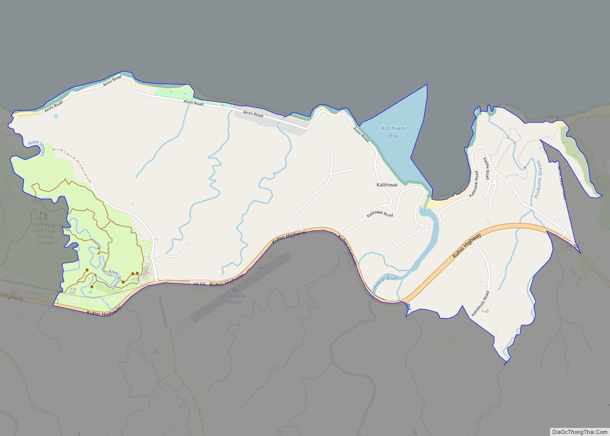
Online Interactive Map
Click on ![]() to view map in "full screen" mode.
to view map in "full screen" mode.
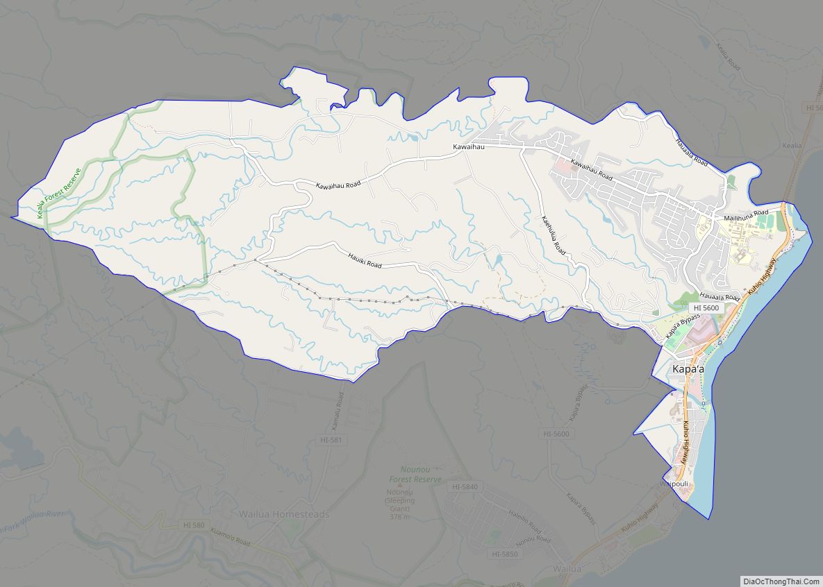
Anahola location map. Where is Anahola CDP?

History
During the reign of King Kamehameha I, the island of Kauaʻi was the last of the Hawaiian islands to join Kamehameha’s Kingdom of Hawaiʻi. The ruler, Kaumualii, resisted Kamehameha for years, surviving two attempts to invade Kaua’i.
Anahola is the site of an ancient surfing area, Ka-nahā-wale, which literally translates to “easily broken”.
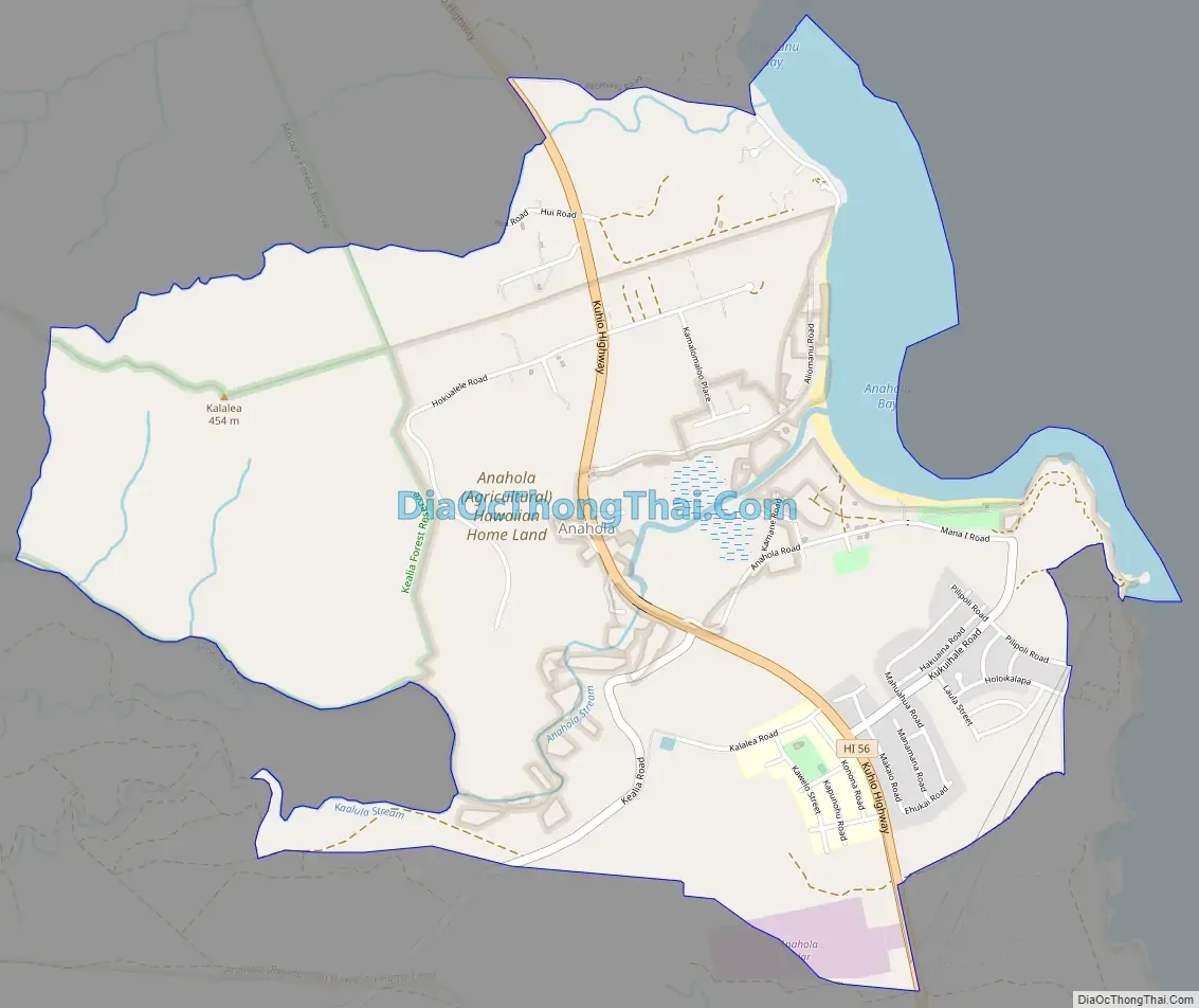
Anahola Road Map
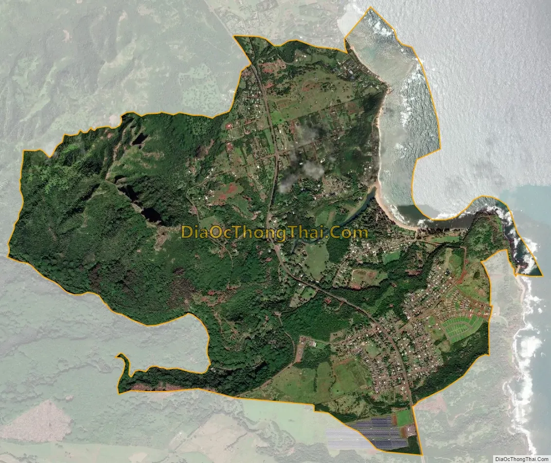
Anahola city Satellite Map
Geography
Anahola is located at 22°8′42″N 159°18′47″W / 22.14500°N 159.31306°W / 22.14500; -159.31306 (22.145049, -159.312969). According to the United States Census Bureau, the CDP has a total area of 4.0 square miles (10.4 km), of which 3.6 square miles (9.4 km) are land and 0.4 square miles (1.0 km), or 9.63%, are water.
The community is located on Hawaii Route 56 on the northeast coast of the island of Kauai. It is 13 miles (21 km) north of Lihue and 10 miles (16 km) southeast of Kilauea. Anahola is adjacent to Anahola Bay, a bay of the Pacific Ocean.
See also
Map of Hawaii State and its subdivision: Map of other states:- Alabama
- Alaska
- Arizona
- Arkansas
- California
- Colorado
- Connecticut
- Delaware
- District of Columbia
- Florida
- Georgia
- Hawaii
- Idaho
- Illinois
- Indiana
- Iowa
- Kansas
- Kentucky
- Louisiana
- Maine
- Maryland
- Massachusetts
- Michigan
- Minnesota
- Mississippi
- Missouri
- Montana
- Nebraska
- Nevada
- New Hampshire
- New Jersey
- New Mexico
- New York
- North Carolina
- North Dakota
- Ohio
- Oklahoma
- Oregon
- Pennsylvania
- Rhode Island
- South Carolina
- South Dakota
- Tennessee
- Texas
- Utah
- Vermont
- Virginia
- Washington
- West Virginia
- Wisconsin
- Wyoming