Fern Acres is a census-designated place (CDP) in Hawaiʻi County, Hawaiʻi, United States, located in the District of Puna. The population was 1,504 at the 2010 census, up from 756 at the 2000 census.
| Name: | Fern Acres CDP |
|---|---|
| LSAD Code: | 57 |
| LSAD Description: | CDP (suffix) |
| State: | Hawaii |
| County: | Hawaii County |
| Elevation: | 1,532 ft (467 m) |
| Total Area: | 6.81 sq mi (17.63 km²) |
| Land Area: | 6.81 sq mi (17.63 km²) |
| Water Area: | 0.00 sq mi (0.00 km²) |
| Total Population: | 1,965 |
| Population Density: | 288.63/sq mi (111.45/km²) |
| Area code: | 808 |
| FIPS code: | 1507542 |
| GNISfeature ID: | 1852577 |
Online Interactive Map
Click on ![]() to view map in "full screen" mode.
to view map in "full screen" mode.
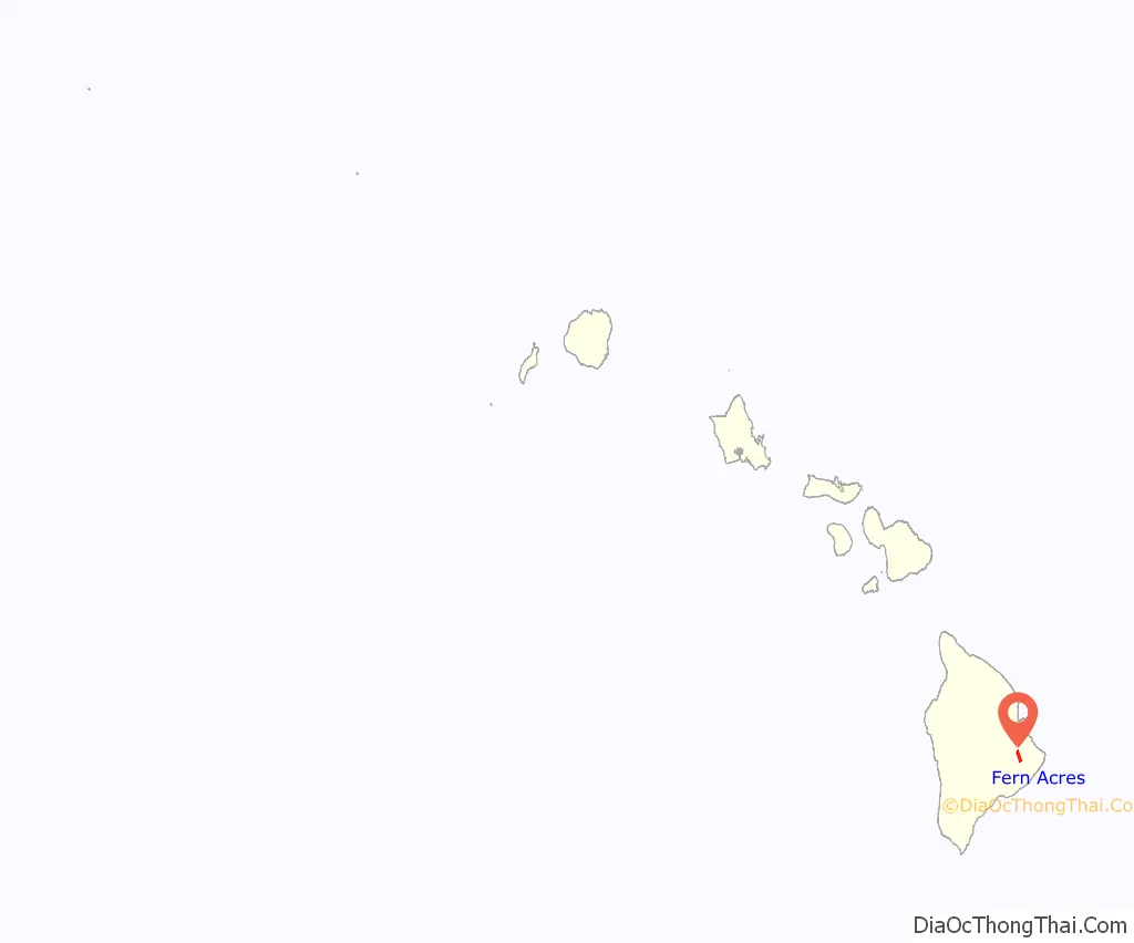
Fern Acres location map. Where is Fern Acres CDP?
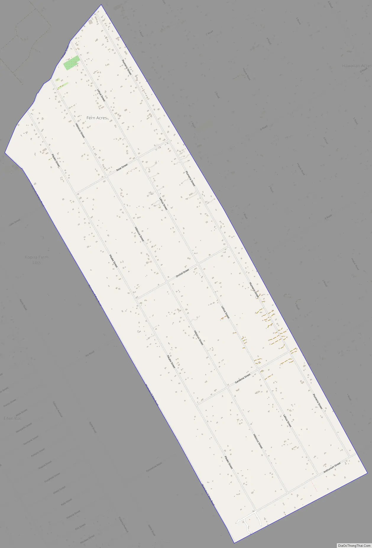
Fern Acres Road Map
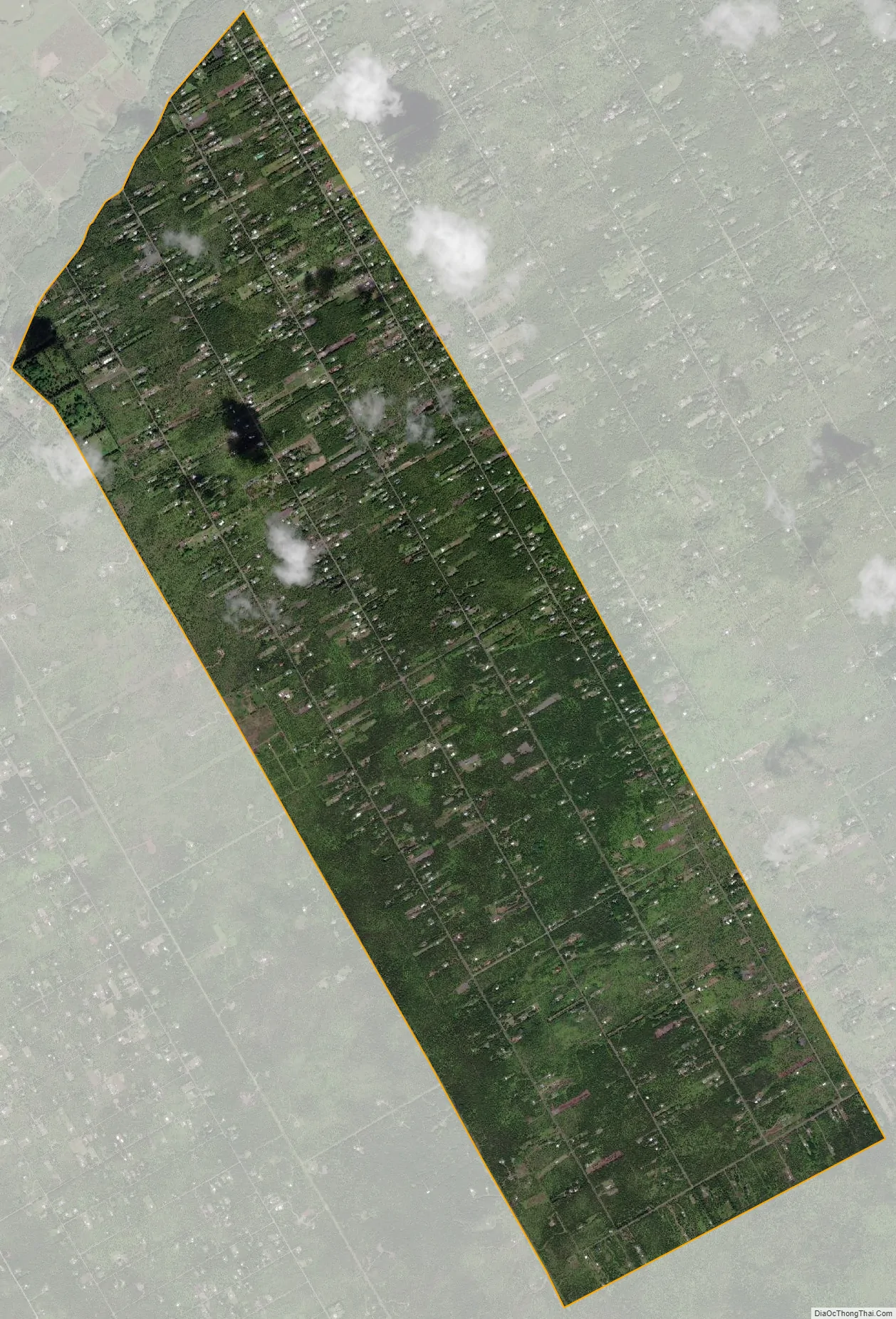
Fern Acres city Satellite Map
Geography
Fern Acres is located on the eastern side of the island of Hawaii at 19°30′43″N 155°5′24″W / 19.51194°N 155.09000°W / 19.51194; -155.09000 (19.511846, -155.089878). It is bordered to the east by Hawaiian Acres, to the north by Mountain View, and to the west by Eden Roc. To the south is the Puna Forest Reserve. The community is 17 miles (27 km) south of Hilo and 16 miles (26 km) east of the entrance to Hawaii Volcanoes National Park.
According to the United States Census Bureau, the CDP has a total area of 6.8 square miles (17.6 km), all of it land.
See also
Map of Hawaii State and its subdivision: Map of other states:- Alabama
- Alaska
- Arizona
- Arkansas
- California
- Colorado
- Connecticut
- Delaware
- District of Columbia
- Florida
- Georgia
- Hawaii
- Idaho
- Illinois
- Indiana
- Iowa
- Kansas
- Kentucky
- Louisiana
- Maine
- Maryland
- Massachusetts
- Michigan
- Minnesota
- Mississippi
- Missouri
- Montana
- Nebraska
- Nevada
- New Hampshire
- New Jersey
- New Mexico
- New York
- North Carolina
- North Dakota
- Ohio
- Oklahoma
- Oregon
- Pennsylvania
- Rhode Island
- South Carolina
- South Dakota
- Tennessee
- Texas
- Utah
- Vermont
- Virginia
- Washington
- West Virginia
- Wisconsin
- Wyoming


