Halaula (Hawaiian: Halaʻula) is a census-designated place (CDP) in Hawaiʻi County, Hawaiʻi, United States. The population was 773 at the 2020 census.
| Name: | Halaula CDP |
|---|---|
| LSAD Code: | 57 |
| LSAD Description: | CDP (suffix) |
| State: | Hawaii |
| County: | Hawaii County |
| Elevation: | 259 ft (79 m) |
| Total Area: | 4.70 sq mi (12.16 km²) |
| Land Area: | 4.37 sq mi (11.33 km²) |
| Water Area: | 0.32 sq mi (0.83 km²) |
| Total Population: | 773 |
| Population Density: | 176.73/sq mi (68.23/km²) |
| Area code: | 808 |
| FIPS code: | 1509700 |
| GNISfeature ID: | 0358902 |
Online Interactive Map
Click on ![]() to view map in "full screen" mode.
to view map in "full screen" mode.
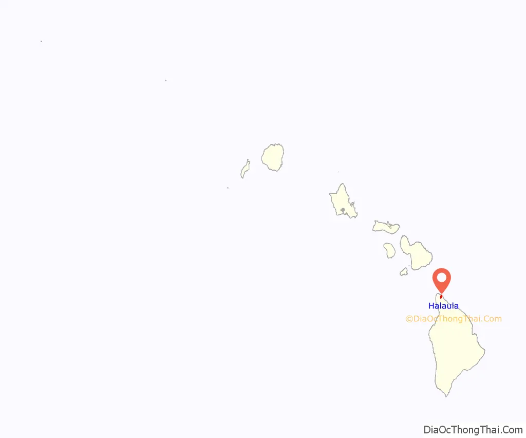
Halaula location map. Where is Halaula CDP?
History
Halaula is within the Bond District, a historic district on the National Register of Historic Places. It includes the 19th century Bond House, also named Iole after its location and a part of the homestead of missionaries Ellen and Reverend Elias Bond. The nucleus of this rambling New England dwelling was built in 1840 by the Rev. Isaac Bliss who was assisted by a carpenter from Honolulu. First occupied in January 1841, it was of “native wood and plaster on stone foundation with a good cellar.”
Assigned to the Kohala Station in June 1841, Rev. and Mrs. Elias Bond moved into the thatched mission house. Mr. Bond described the first addition in 1842: “Our dwelling house is 40 feet long by 36 feet wide. The study and native room are 21 feet by 24 feet.”
Through the years the home was expanded and modified to accommodate several generations who lived under its roof. Lived in until 1930, it is now kept as a family retreat with all its old furnishings. Surrounded by the original outbuildings, the Bond House remains the last mission complex still intact in Hawaiʻi.
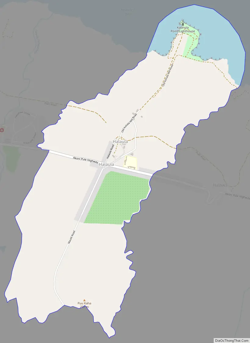
Halaula Road Map
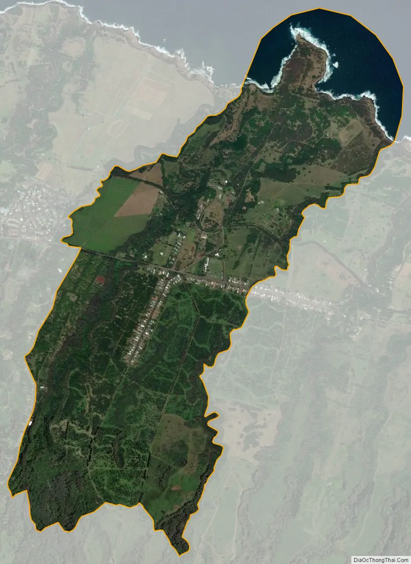
Halaula city Satellite Map
Geography
Halaula is in the North Kohala region and peninsula, on the northern side of the island of Hawaiʻi. It is bordered to the west by Kapaau. Hawaii Route 270 is the main road through the community, leading west then south 22 miles (35 km) to Hawaii Route 19 at Waikui and east 4 miles (6 km) to its terminus at an overlook of the Pololū Valley.
According to the United States Census Bureau, the CDP has a total area of 2.9 square miles (7.6 km), of which 2.7 square miles (6.9 km) are land and 0.3 square miles (0.8 km), or 9.96%, are water, as the CDP limits extend into the Pacific Ocean.
See also
Map of Hawaii State and its subdivision: Map of other states:- Alabama
- Alaska
- Arizona
- Arkansas
- California
- Colorado
- Connecticut
- Delaware
- District of Columbia
- Florida
- Georgia
- Hawaii
- Idaho
- Illinois
- Indiana
- Iowa
- Kansas
- Kentucky
- Louisiana
- Maine
- Maryland
- Massachusetts
- Michigan
- Minnesota
- Mississippi
- Missouri
- Montana
- Nebraska
- Nevada
- New Hampshire
- New Jersey
- New Mexico
- New York
- North Carolina
- North Dakota
- Ohio
- Oklahoma
- Oregon
- Pennsylvania
- Rhode Island
- South Carolina
- South Dakota
- Tennessee
- Texas
- Utah
- Vermont
- Virginia
- Washington
- West Virginia
- Wisconsin
- Wyoming


