Hawaiian Ocean View (usually referred to as “Ocean View”) is a census-designated place (CDP) in Hawaiʻi County, Hawaiʻi, United States located in the District of Kaʻū. It includes the subdivisions of Hawaiian Ocean View Estates (HOVE), Hawaiian Ocean View Ranchos, Kahuku Country Gardens, Kula Kai View Estates, Kona Gardens, Keone’s Ranchos, and Kona View Estates. The population was 4,437 at the 2010 census, up from 2,178 at the 2000 census.
| Name: | Hawaiian Ocean View CDP |
|---|---|
| LSAD Code: | 57 |
| LSAD Description: | CDP (suffix) |
| State: | Hawaii |
| County: | Hawaii County |
| Elevation: | 1,575 ft (480 m) |
| Total Area: | 36.30 sq mi (94.02 km²) |
| Land Area: | 36.30 sq mi (94.02 km²) |
| Water Area: | 0.00 sq mi (0.00 km²) |
| Total Population: | 4,864 |
| Population Density: | 133.99/sq mi (51.73/km²) |
| Area code: | 808 |
| FIPS code: | 1512530 |
| GNISfeature ID: | 1867253 |
Online Interactive Map
Click on ![]() to view map in "full screen" mode.
to view map in "full screen" mode.
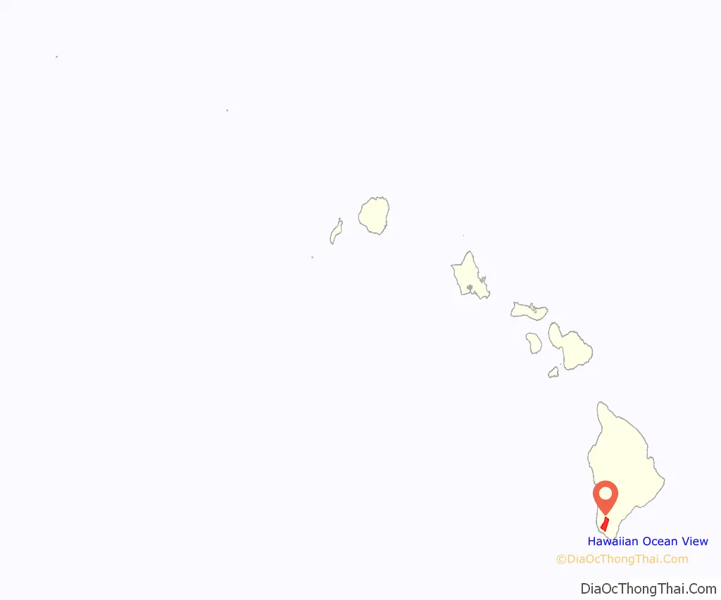
Hawaiian Ocean View location map. Where is Hawaiian Ocean View CDP?
History
The HOVE development consisted of 10,697 1-acre (4,000 m) lots north of the Hawaii Belt Road in the western part of the District of Kaʻū. The terrain varies from rugged lava fields to ohiʻa trees and other vegetation. Elevation ranges from about 1,500 ft (460 m) up to the 5,000-foot (1,500 m) level. Initial sales began in the late 1950s. The original developer of HOVE was the Crawford Oil Company. Later, other subdivisions were put in place downslope of HOVE and the Hawaii Belt Road. In the early 1980s a service station and a hardware store were built.
In 1989 the Ocean View Town Center was developed, and the Ocean View Road Maintenance Corporation began an extensive rebuilding program of the roads. Shortly thereafter the Ocean View Development Corporation started a new market which included a laundromat and restaurant. Ocean View now has two shopping centers. There are now three gas stations, two grocery stores, and an L & L Hawaiian BBQ restaurant.
In January 2004, Hawaii Volcanoes National Park purchased the nearby property previously known as Kahuku Ranch.
Ocean View has a post office with the ZIP code of 96737. The USPS does not provide street delivery of mail except on Mamalahoa Highway. It is, therefore, difficult to get confirmation of a Street address for mail order companies to send purchases.
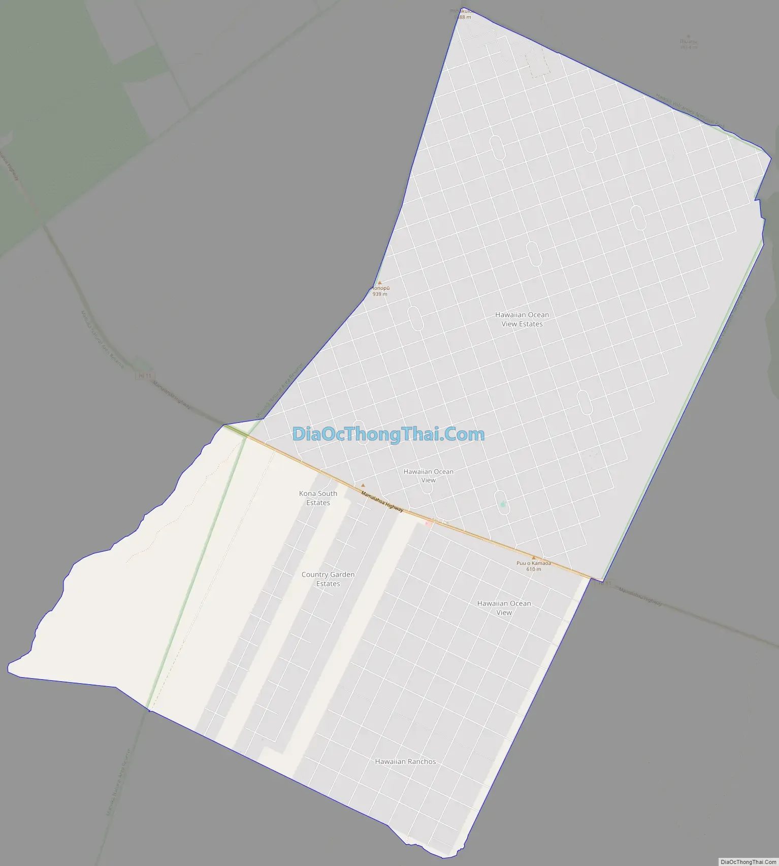
Hawaiian Ocean View Road Map
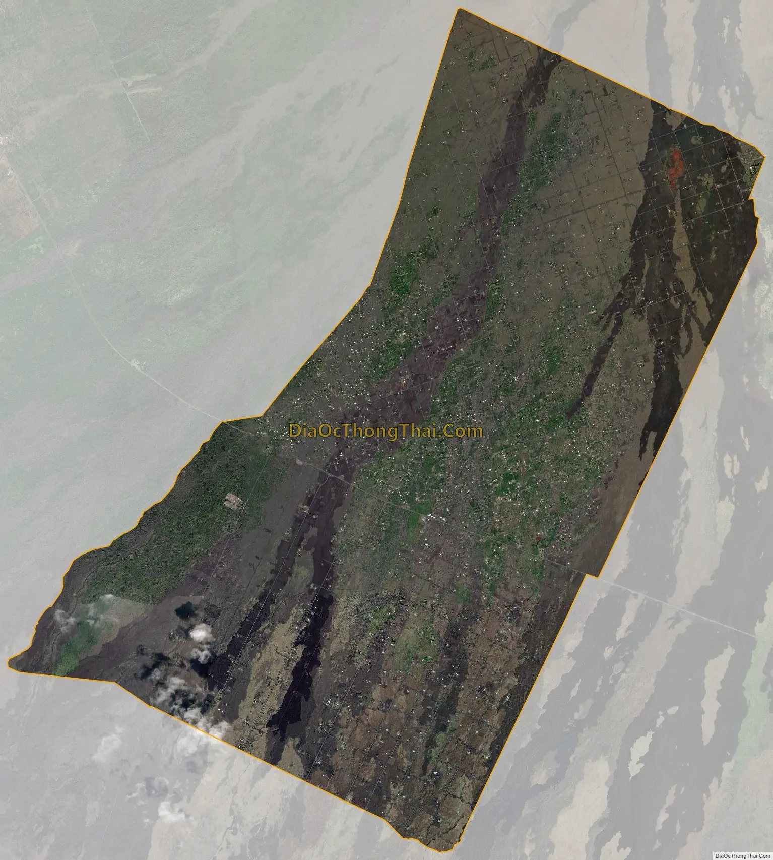
Hawaiian Ocean View city Satellite Map
Geography
Ocean View is located at the southern end of the island of Hawaii at 19°6′28″N 155°46′2″W / 19.10778°N 155.76722°W / 19.10778; -155.76722 (19.107649, -155.767186), on the southwest rift zone of the shield volcano Mauna Loa. Its elevation ranges from 600 feet (180 m) above sea level along the southern edge of the CDP, to 4,900 feet (1,500 m) along the northern edge.
Hawaii Route 11 passes through the community, leading northeast 76 miles (122 km) to Hilo and northwest 46 miles (74 km) to Kailua-Kona.
According to the United States Census Bureau, the CDP has a total area of 36.8 square miles (95.3 km), all of it land.
The area is prone to earthquakes.
Climate
See also
Map of Hawaii State and its subdivision: Map of other states:- Alabama
- Alaska
- Arizona
- Arkansas
- California
- Colorado
- Connecticut
- Delaware
- District of Columbia
- Florida
- Georgia
- Hawaii
- Idaho
- Illinois
- Indiana
- Iowa
- Kansas
- Kentucky
- Louisiana
- Maine
- Maryland
- Massachusetts
- Michigan
- Minnesota
- Mississippi
- Missouri
- Montana
- Nebraska
- Nevada
- New Hampshire
- New Jersey
- New Mexico
- New York
- North Carolina
- North Dakota
- Ohio
- Oklahoma
- Oregon
- Pennsylvania
- Rhode Island
- South Carolina
- South Dakota
- Tennessee
- Texas
- Utah
- Vermont
- Virginia
- Washington
- West Virginia
- Wisconsin
- Wyoming


