Hawaiian Paradise Park, also referred to as Paradise Park and known by many as HPP, is a census-designated place (CDP) in Hawaiʻi County, Hawaiʻi, United States, located in the District of Puna. The population was 11,404 at the 2010 census, up from 7,051 at the 2000 census. There are also numerous historic and archeological preservation sites in the subdivision, which include Native Hawaiian petroglyphs, heiau, and burial sites.
| Name: | Hawaiian Paradise Park CDP |
|---|---|
| LSAD Code: | 57 |
| LSAD Description: | CDP (suffix) |
| State: | Hawaii |
| County: | Hawaii County |
| Elevation: | 140 ft (40 m) |
| Total Area: | 15.67 sq mi (40.59 km²) |
| Land Area: | 15.30 sq mi (39.63 km²) |
| Water Area: | 0.37 sq mi (0.96 km²) |
| Total Population: | 14,957 |
| Population Density: | 977.52/sq mi (377.43/km²) |
| ZIP code: | 96749 |
| Area code: | 808 |
| FIPS code: | 1512600 |
| GNISfeature ID: | 1867254 |
Online Interactive Map
Click on ![]() to view map in "full screen" mode.
to view map in "full screen" mode.
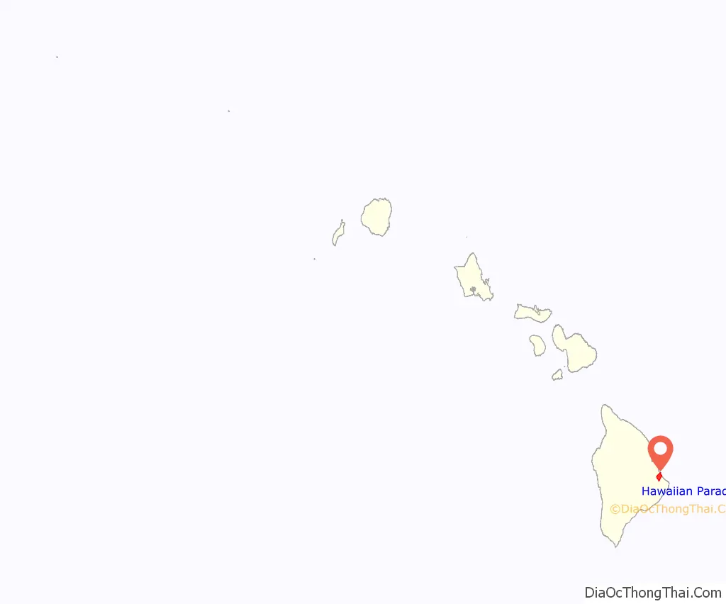
Hawaiian Paradise Park location map. Where is Hawaiian Paradise Park CDP?
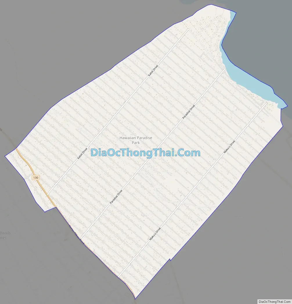
Hawaiian Paradise Park Road Map
Hawaiian Paradise Park city Satellite Map

Geography
Hawaiian Paradise Park is located on the eastern side of the island of Hawaii at 19°35′25″N 154°58′33″W / 19.59028°N 154.97583°W / 19.59028; -154.97583 (19.590388, -154.975734). It is bordered to the northeast by the Pacific Ocean, to the southeast by Hawaiian Beaches, and to the southwest by Orchidlands Estates and Ainaloa. Hawaii Route 130 runs along the southwest edge of the CDP, leading northwest 5 miles (8 km) to Keaau. Hilo is 13 miles (21 km) northwest of Hawaiian Paradise Park.
According to the United States Census Bureau, the CDP has a total area of 15.6 square miles (40.4 km), of which 15.2 square miles (39.4 km) are land and 0.4 square miles (1.0 km), or 2.39%, are water. Elevations in the community range from sea level along the Pacific shore to 490 feet (150 m) in the southern corner.
See also
Map of Hawaii State and its subdivision: Map of other states:- Alabama
- Alaska
- Arizona
- Arkansas
- California
- Colorado
- Connecticut
- Delaware
- District of Columbia
- Florida
- Georgia
- Hawaii
- Idaho
- Illinois
- Indiana
- Iowa
- Kansas
- Kentucky
- Louisiana
- Maine
- Maryland
- Massachusetts
- Michigan
- Minnesota
- Mississippi
- Missouri
- Montana
- Nebraska
- Nevada
- New Hampshire
- New Jersey
- New Mexico
- New York
- North Carolina
- North Dakota
- Ohio
- Oklahoma
- Oregon
- Pennsylvania
- Rhode Island
- South Carolina
- South Dakota
- Tennessee
- Texas
- Utah
- Vermont
- Virginia
- Washington
- West Virginia
- Wisconsin
- Wyoming


