Hawi (Hawaiian: Hāwī; Hawaiian pronunciation: [həˈvi]) is a census-designated place (CDP) in Hawaiʻi County, Hawaii. The population was 2,268 at the time of the 2020 United States Census.
Hawi is situated to the west of the community of Kapaau. Together, they comprise the most densely-populated region in the district of North Kohala. Historically this part of Kohala is significant as the birthplace of Kamehameha I and the location of the Moʻokini heiau in the Kohala Historical Sites State Monument. The two communities were once busy commercial centers during the operation of the Kohala Sugar plantation.
Hawi is the turnaround point for the Ironman World Championship Triathlon. It is the northernmost point on the bicycle leg, where athletes return to the finish line at Kamakahonu in Kailua-Kona.
| Name: | Hawi CDP |
|---|---|
| LSAD Code: | 57 |
| LSAD Description: | CDP (suffix) |
| State: | Hawaii |
| County: | Hawaii County |
| Elevation: | 522 ft (159 m) |
| Total Area: | 8.11 sq mi (21.00 km²) |
| Land Area: | 8.10 sq mi (20.98 km²) |
| Water Area: | 0.01 sq mi (0.02 km²) |
| Total Population: | 2,268 |
| Population Density: | 279.97/sq mi (108.09/km²) |
| ZIP code: | 96719 |
| Area code: | 808 |
| FIPS code: | 1513600 |
| GNISfeature ID: | 0359139 |
Online Interactive Map
Click on ![]() to view map in "full screen" mode.
to view map in "full screen" mode.
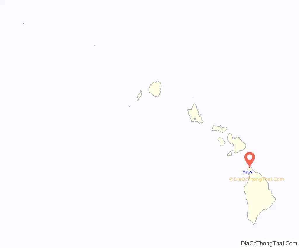
Hawi location map. Where is Hawi CDP?
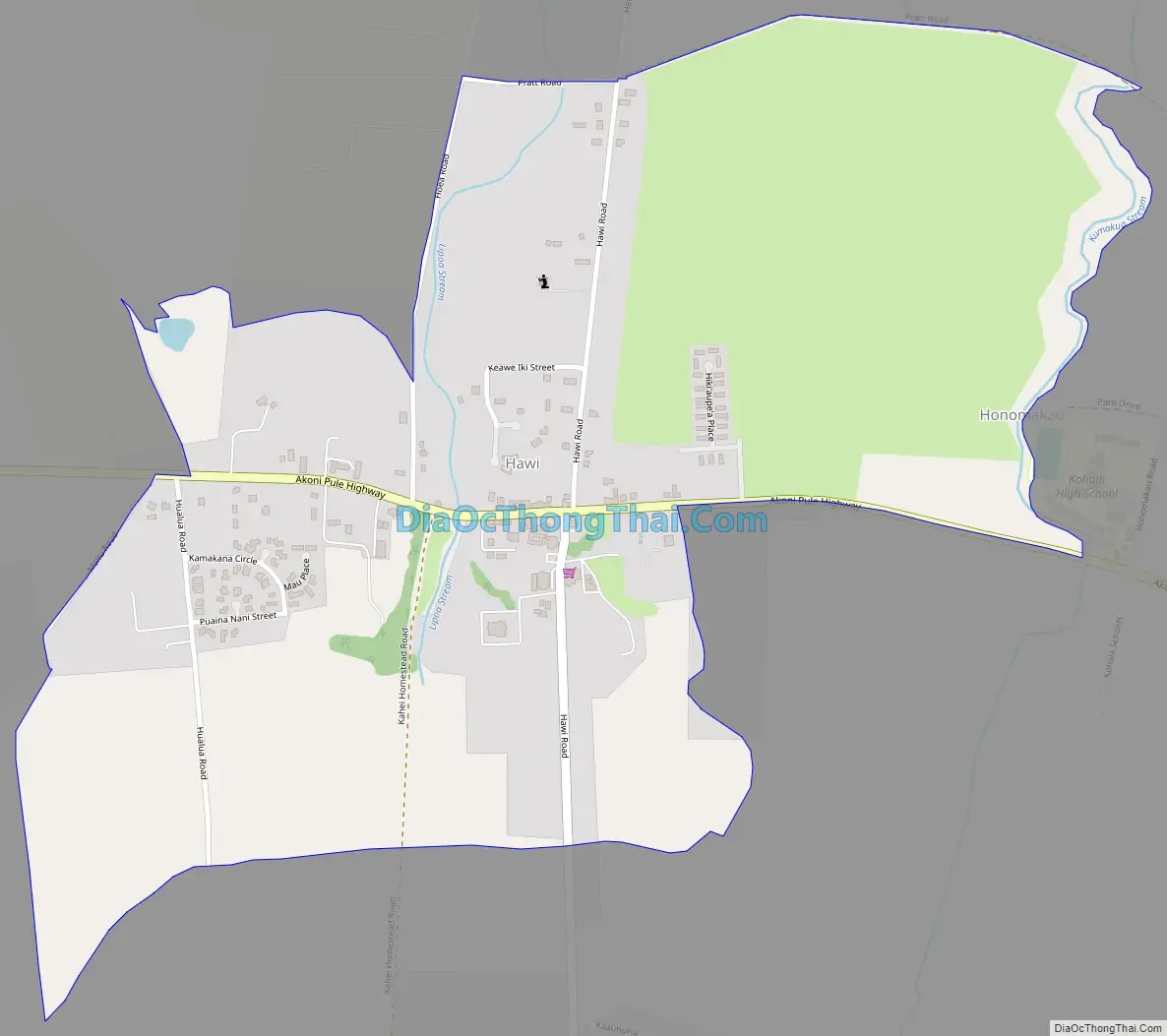
Hawi Road Map
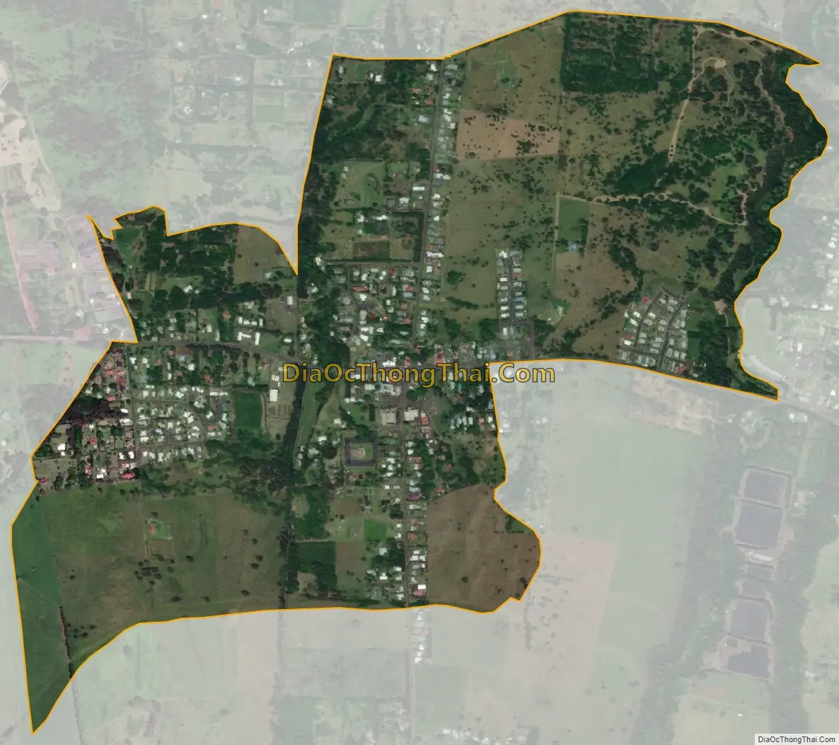
Hawi city Satellite Map
Geography
Hawi is located at 20°14′31″N 155°50′2″W / 20.24194°N 155.83389°W / 20.24194; -155.83389 (20.241917, -155.834013).
According to the United States Census Bureau, the CDP has a total area of 1.2 square miles (3.1 km), all of it land. The climate of the city is tropical, with temperatures staying between the 60s and 80s in all seasons.
See also
Map of Hawaii State and its subdivision: Map of other states:- Alabama
- Alaska
- Arizona
- Arkansas
- California
- Colorado
- Connecticut
- Delaware
- District of Columbia
- Florida
- Georgia
- Hawaii
- Idaho
- Illinois
- Indiana
- Iowa
- Kansas
- Kentucky
- Louisiana
- Maine
- Maryland
- Massachusetts
- Michigan
- Minnesota
- Mississippi
- Missouri
- Montana
- Nebraska
- Nevada
- New Hampshire
- New Jersey
- New Mexico
- New York
- North Carolina
- North Dakota
- Ohio
- Oklahoma
- Oregon
- Pennsylvania
- Rhode Island
- South Carolina
- South Dakota
- Tennessee
- Texas
- Utah
- Vermont
- Virginia
- Washington
- West Virginia
- Wisconsin
- Wyoming


