Kalaoa is a census-designated place (CDP) in Hawaiʻi County, Hawaiʻi, United States. The population was 9,644 as of the 2010 census, up from 6,794 residents at the 2000 census.
| Name: | Kalaoa CDP |
|---|---|
| LSAD Code: | 57 |
| LSAD Description: | CDP (suffix) |
| State: | Hawaii |
| County: | Hawaii County |
| Elevation: | 680 ft (210 m) |
| Total Area: | 45.6 sq mi (118.1 km²) |
| Land Area: | 39.2 sq mi (101.4 km²) |
| Water Area: | 6.4 sq mi (16.7 km²) |
| Total Population: | 9,644 |
| Population Density: | 246/sq mi (95.1/km²) |
| Area code: | 808 |
| FIPS code: | 1525400 |
| GNISfeature ID: | 2414061 |
Online Interactive Map
Click on ![]() to view map in "full screen" mode.
to view map in "full screen" mode.
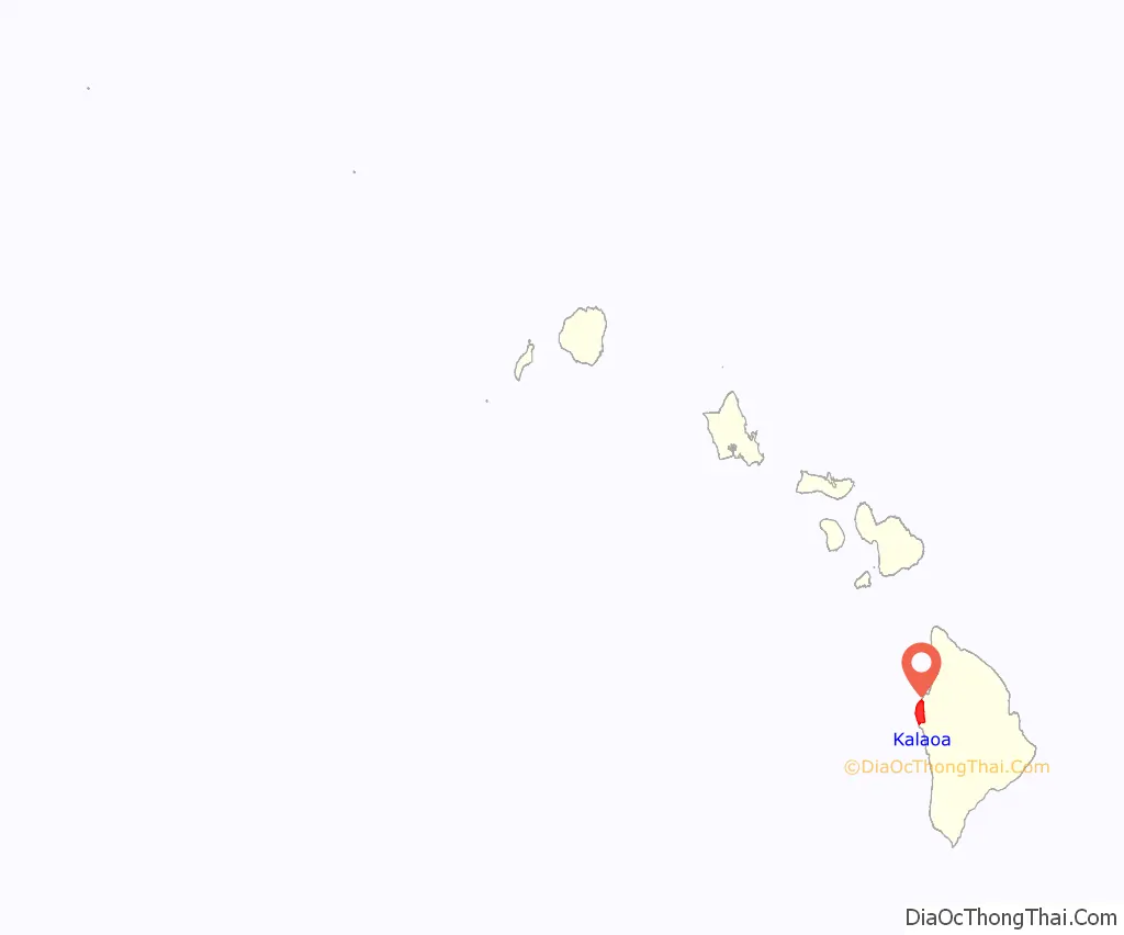
Kalaoa location map. Where is Kalaoa CDP?
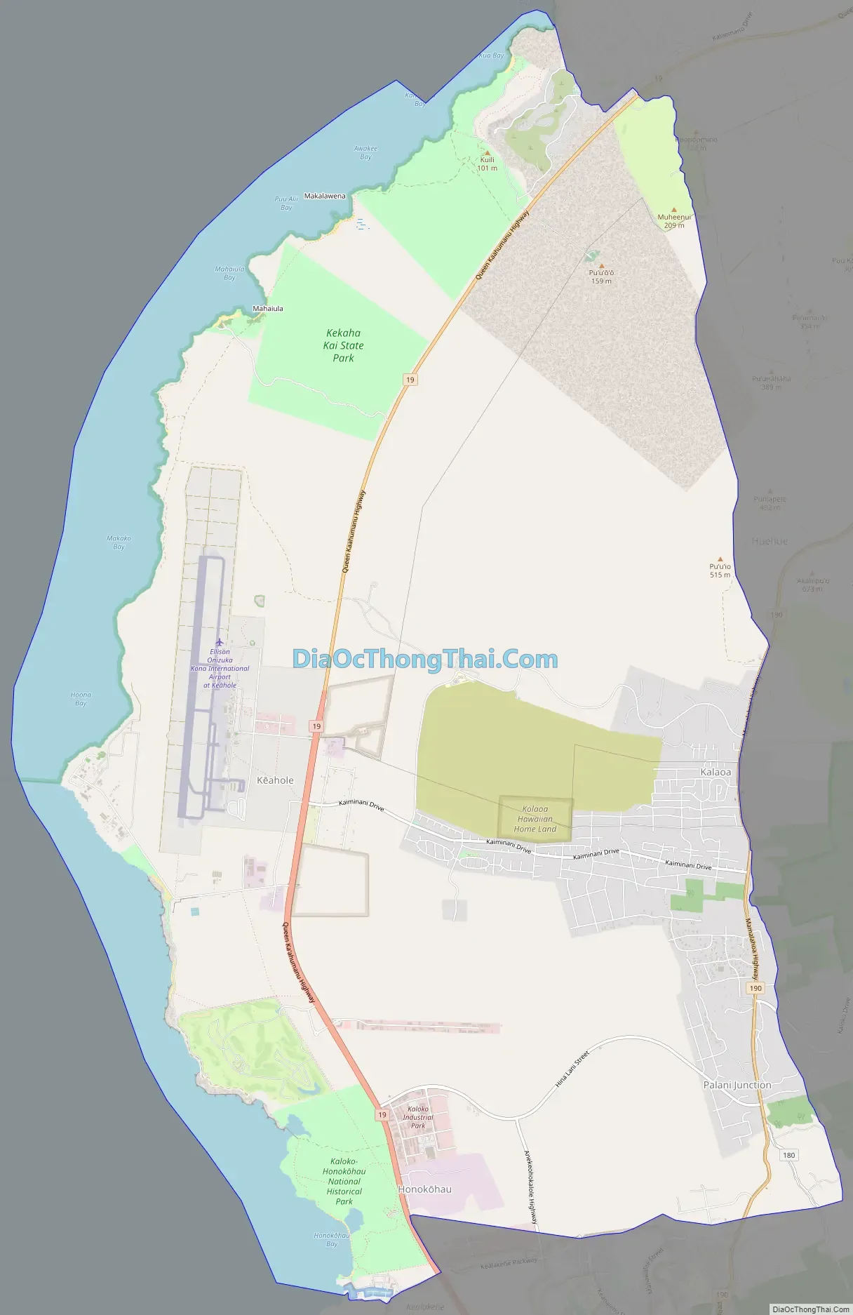
Kalaoa Road Map
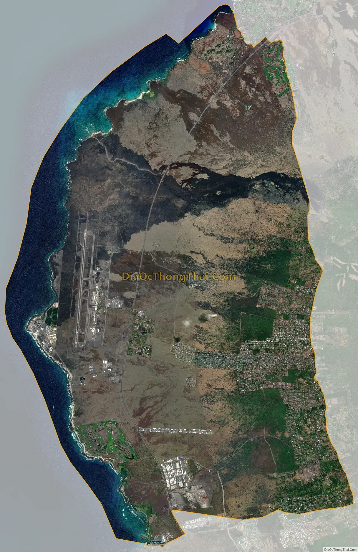
Kalaoa city Satellite Map
Geography
Kalaoa is located on the west side of the island of Hawaii at 19°43′23″N 156°0′17″W / 19.72306°N 156.00472°W / 19.72306; -156.00472 (19.722969, -156.004669). It is bordered to the south by Kailua-Kona, and Waimea is 33 miles (53 km) to the northeast. Kalaoa sits on the lower western slopes of the Hualalai volcano and extends west to the Pacific Ocean.
According to the United States Census Bureau, the CDP has a total area of 45.6 square miles (118.1 km), of which 39.2 square miles (101.4 km) are land and 6.4 square miles (16.7 km), or 14.13%, are water.
See also
Map of Hawaii State and its subdivision: Map of other states:- Alabama
- Alaska
- Arizona
- Arkansas
- California
- Colorado
- Connecticut
- Delaware
- District of Columbia
- Florida
- Georgia
- Hawaii
- Idaho
- Illinois
- Indiana
- Iowa
- Kansas
- Kentucky
- Louisiana
- Maine
- Maryland
- Massachusetts
- Michigan
- Minnesota
- Mississippi
- Missouri
- Montana
- Nebraska
- Nevada
- New Hampshire
- New Jersey
- New Mexico
- New York
- North Carolina
- North Dakota
- Ohio
- Oklahoma
- Oregon
- Pennsylvania
- Rhode Island
- South Carolina
- South Dakota
- Tennessee
- Texas
- Utah
- Vermont
- Virginia
- Washington
- West Virginia
- Wisconsin
- Wyoming


