Kapa’au (Hawaiian: Kapaʻau) is an unincorporated community in Hawaiʻi County, Hawaii, United States. Located at the northern tip of the big island of Hawaiʻi, it is celebrated as the birthplace of Kamehameha I.
For statistical purposes, the United States Census Bureau has defined Kapa’au as a census-designated place (CDP). The census definition of the area may not precisely correspond to local understanding of the area with the same name. The population was 1,734 at the 2010 census, up from 1,159 at the 2000 census.
| Name: | Kapaau CDP |
|---|---|
| LSAD Code: | 57 |
| LSAD Description: | CDP (suffix) |
| State: | Hawaii |
| County: | Hawaii County |
| Elevation: | 407 ft (124 m) |
| Total Area: | 6.19 sq mi (16.02 km²) |
| Land Area: | 6.18 sq mi (16.00 km²) |
| Water Area: | 0.01 sq mi (0.02 km²) |
| Total Population: | 2,008 |
| Population Density: | 325.08/sq mi (125.52/km²) |
| ZIP code: | 96755 |
| Area code: | 808 |
| FIPS code: | 1529000 |
| GNISfeature ID: | 0360474 |
Online Interactive Map
Click on ![]() to view map in "full screen" mode.
to view map in "full screen" mode.
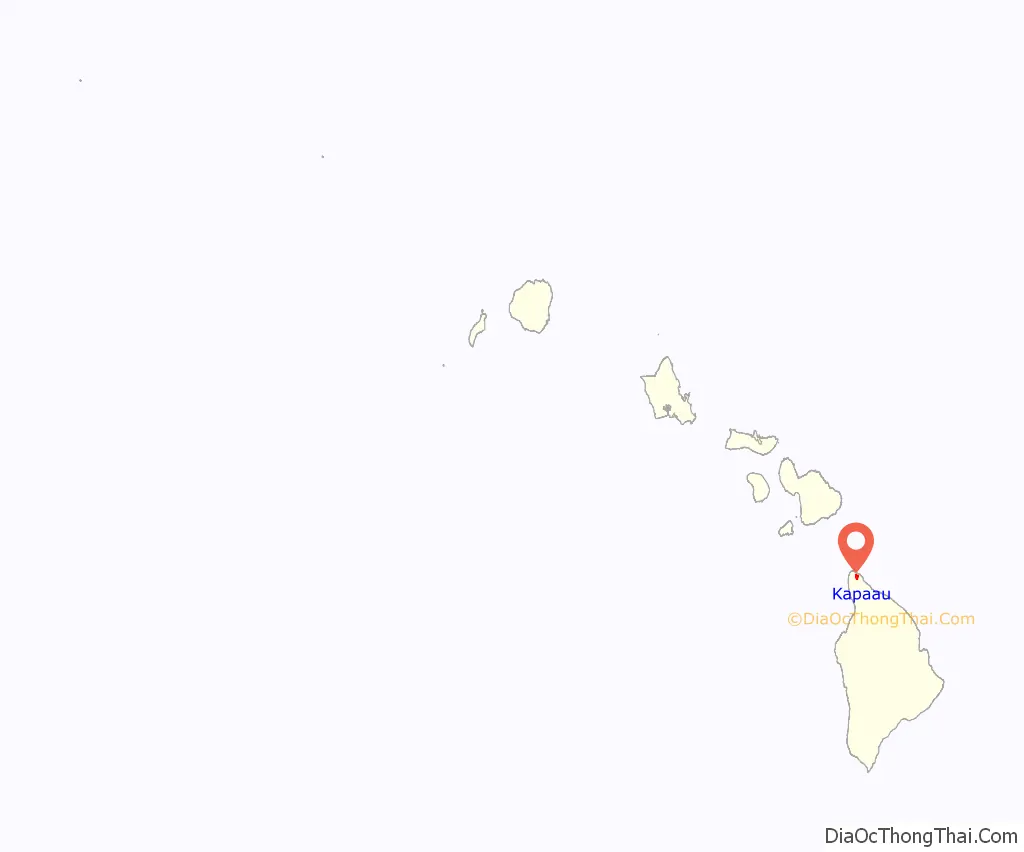
Kapaau location map. Where is Kapaau CDP?
Kapaau Road Map

Kapaau city Satellite Map

Geography
Kapa’au is in the North Kohala District of Hawaiʻi County. It is bordered to the east by Halaʻula, and Hāwī is 2 miles (3 km) to the west. Hawaii Route 270 is the main road through the community.
According to the United States Census Bureau, the Kapa’au CDP has a total area of 2.9 square miles (7.4 km), of which 74,630 square feet (6,933 m), or 0.09%, are water.
See also
Map of Hawaii State and its subdivision: Map of other states:- Alabama
- Alaska
- Arizona
- Arkansas
- California
- Colorado
- Connecticut
- Delaware
- District of Columbia
- Florida
- Georgia
- Hawaii
- Idaho
- Illinois
- Indiana
- Iowa
- Kansas
- Kentucky
- Louisiana
- Maine
- Maryland
- Massachusetts
- Michigan
- Minnesota
- Mississippi
- Missouri
- Montana
- Nebraska
- Nevada
- New Hampshire
- New Jersey
- New Mexico
- New York
- North Carolina
- North Dakota
- Ohio
- Oklahoma
- Oregon
- Pennsylvania
- Rhode Island
- South Carolina
- South Dakota
- Tennessee
- Texas
- Utah
- Vermont
- Virginia
- Washington
- West Virginia
- Wisconsin
- Wyoming


