Keaʻau (also written as Keaau) is a census-designated place (CDP) in Hawaiʻi County, Hawaii. located in the District of Puna. The population was 1,195 at the time of the 2020 census. The population decreased by 12.1% from 2,253 at the time of the 2010 census.
| Name: | Keaau CDP |
|---|---|
| LSAD Code: | 57 |
| LSAD Description: | CDP (suffix) |
| State: | Hawaii |
| County: | Hawaii County |
| Elevation: | 341 ft (104 m) |
| Total Area: | 6.27 sq mi (16.25 km²) |
| Land Area: | 6.27 sq mi (16.25 km²) |
| Water Area: | 0.00 sq mi (0.00 km²) |
| Total Population: | 1,195 |
| Population Density: | 190.50/sq mi (73.56/km²) |
| ZIP code: | 96749 |
| Area code: | 808 |
| FIPS code: | 1532900 |
| GNISfeature ID: | 0360892 |
Online Interactive Map
Click on ![]() to view map in "full screen" mode.
to view map in "full screen" mode.
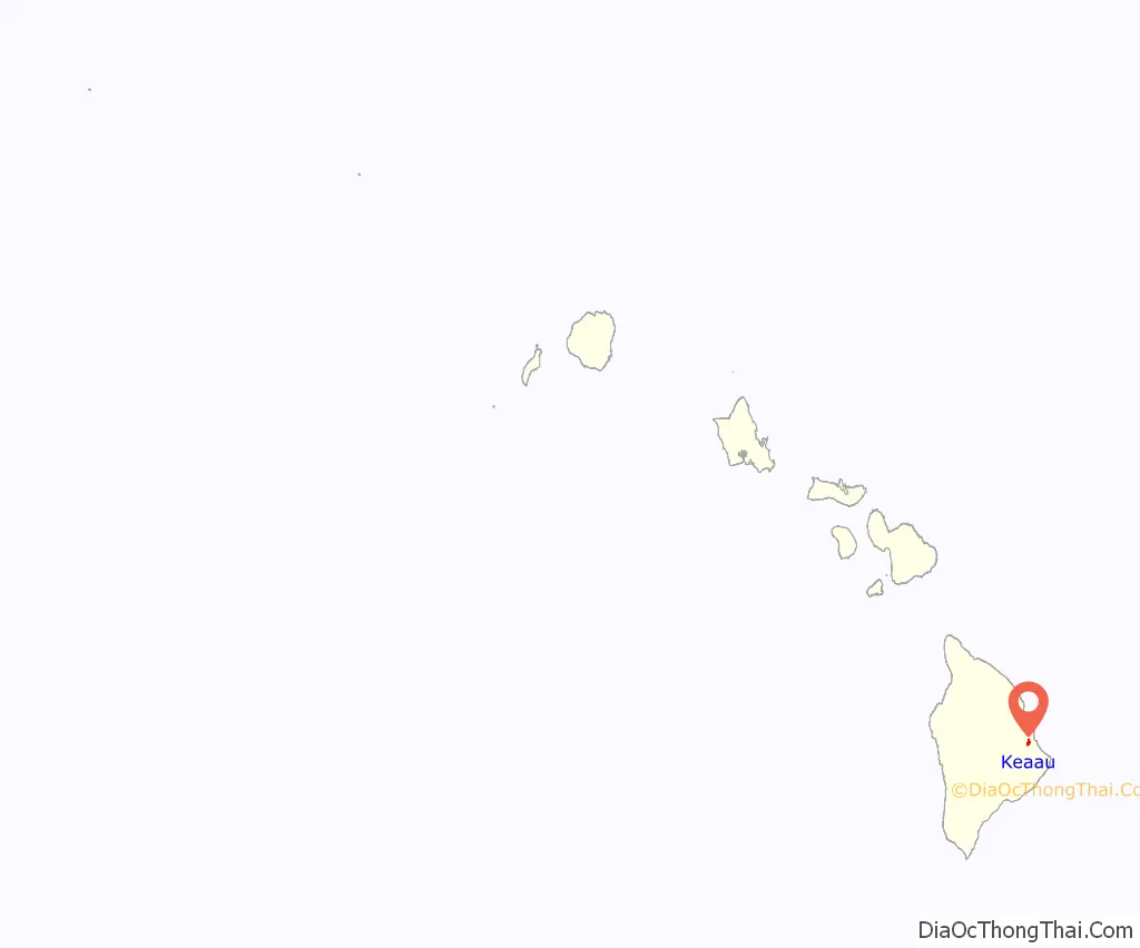
Keaau location map. Where is Keaau CDP?
History
Keaau was called ‘Ōla‘a and in 1899, the Olaa Sugar Company leased about 4,000 acres of land, for growing sugarcane.
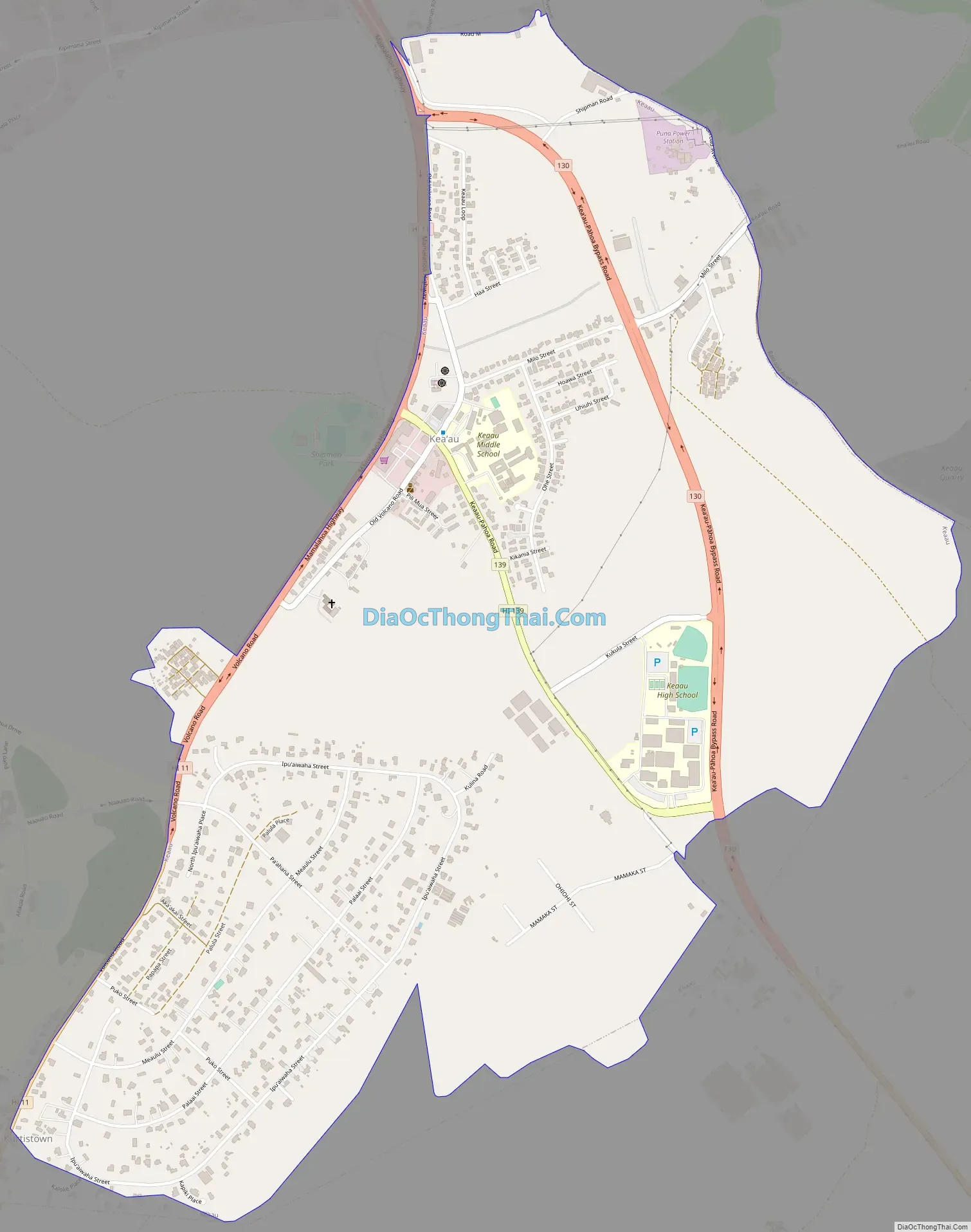
Keaau Road Map
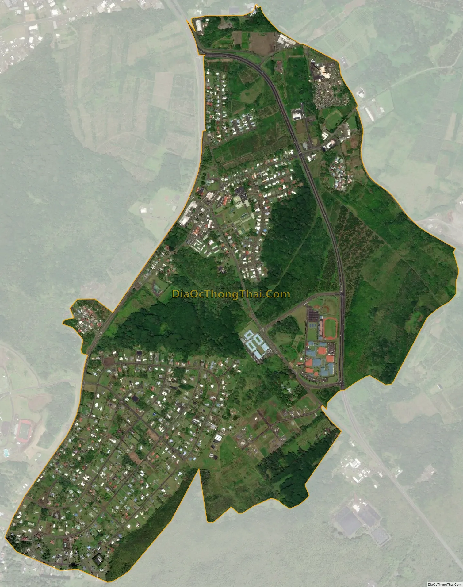
Keaau city Satellite Map
Geography
Keaʻau is on the east side of the island of Hawaiʻi at 19°37′16″N 155°2′30″W / 19.62111°N 155.04167°W / 19.62111; -155.04167 (19.621072, -155.041706). It is bordered to the southwest by Kurtistown. Hilo is 8 miles (13 km) to the north. The junction of Hawaii Route 11 (the Hawaii Belt Road) and Hawaii Route 130 (Keaau-Pahoa Road) is in the northern part of the community. According to the United States Census Bureau, the CDP has a total area of 2.6 square miles (6.7 km), all of it land.
The Board on Geographic Names officially designated the populated place as Keaʻau in 2003.
See also
Map of Hawaii State and its subdivision: Map of other states:- Alabama
- Alaska
- Arizona
- Arkansas
- California
- Colorado
- Connecticut
- Delaware
- District of Columbia
- Florida
- Georgia
- Hawaii
- Idaho
- Illinois
- Indiana
- Iowa
- Kansas
- Kentucky
- Louisiana
- Maine
- Maryland
- Massachusetts
- Michigan
- Minnesota
- Mississippi
- Missouri
- Montana
- Nebraska
- Nevada
- New Hampshire
- New Jersey
- New Mexico
- New York
- North Carolina
- North Dakota
- Ohio
- Oklahoma
- Oregon
- Pennsylvania
- Rhode Island
- South Carolina
- South Dakota
- Tennessee
- Texas
- Utah
- Vermont
- Virginia
- Washington
- West Virginia
- Wisconsin
- Wyoming


