Kekaha (literally, “the place” in Hawaiian) is a census-designated place (CDP) in Kauaʻi County, Hawaiʻi, United States. The population was 3,715 at the 2020 census, up from 3,175 at the 2000 census.
| Name: | Kekaha CDP |
|---|---|
| LSAD Code: | 57 |
| LSAD Description: | CDP (suffix) |
| State: | Hawaii |
| County: | Kauai County |
| Elevation: | 10 ft (3 m) |
| Total Area: | 1.29 sq mi (3.35 km²) |
| Land Area: | 1.00 sq mi (2.60 km²) |
| Water Area: | 0.29 sq mi (0.75 km²) |
| Total Population: | 3,715 |
| Population Density: | 3,703.89/sq mi (1,430.32/km²) |
| ZIP code: | 96752 |
| Area code: | 808 |
| FIPS code: | 1535600 |
| GNISfeature ID: | 0361086 |
Online Interactive Map
Click on ![]() to view map in "full screen" mode.
to view map in "full screen" mode.
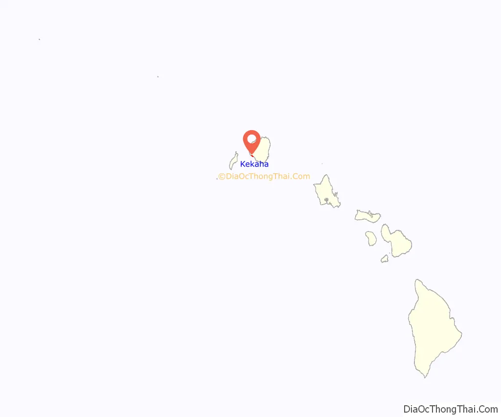
Kekaha location map. Where is Kekaha CDP?
History
For most of the 20th century, the Kekaha Sugar Mill (owned by Amfac) was the centerpiece of agriculture on Kauaʻi’s west side. The sugar mill had a major influence in Kekaha’s development, including banking, employment, transportation, housing and utilities such as water and electricity. The mill employed several generations of local families. It closed in 2000 when the entire sugar industry in Hawaiʻi collapsed. The mill was purchased in 2005 by mainland investors who sold off its heavy machinery to other mills as far away as Africa.
Hawaiʻi’s first (and only) train robbery occurred here in February 1920, when a masked gunman stopped a slow-moving sugar train and escaped with the locomotive and $11,000 taken from the labor paymaster on board. Police recovered the money in a swamp near the home of a local fisherman, whose suspicious behavior soon resulted in his arrest and conviction. The fisherman was a big fan of Western movies, and was thought to have been inspired by some of the films he had seen.
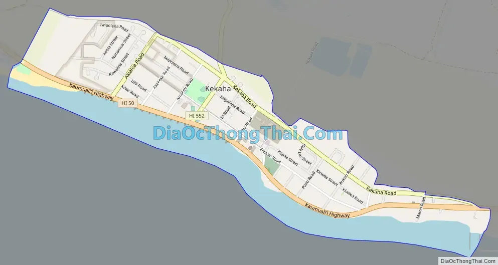
Kekaha Road Map
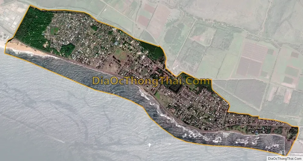
Kekaha city Satellite Map
Geography
Kekaha is located on the southwest side of the island of Kauai at 21°58′18″N 159°42′59″W / 21.97167°N 159.71639°W / 21.97167; -159.71639 (21.971690, -159.716290). It is bordered to the east by Waimea and to the south by the Pacific Ocean. Hawaii Route 50 passes through the community, leading northwest 7 miles (11 km) to its end at the Pacific Missile Range Facility and east 15 miles (24 km) to Kalaheo.
According to the United States Census Bureau, the Kekaha CDP has a total area of 1.3 square miles (3.4 km), of which 1.0 square mile (2.6 km) are land and 0.31 square miles (0.8 km), or 22.48%, are water.
See also
Map of Hawaii State and its subdivision: Map of other states:- Alabama
- Alaska
- Arizona
- Arkansas
- California
- Colorado
- Connecticut
- Delaware
- District of Columbia
- Florida
- Georgia
- Hawaii
- Idaho
- Illinois
- Indiana
- Iowa
- Kansas
- Kentucky
- Louisiana
- Maine
- Maryland
- Massachusetts
- Michigan
- Minnesota
- Mississippi
- Missouri
- Montana
- Nebraska
- Nevada
- New Hampshire
- New Jersey
- New Mexico
- New York
- North Carolina
- North Dakota
- Ohio
- Oklahoma
- Oregon
- Pennsylvania
- Rhode Island
- South Carolina
- South Dakota
- Tennessee
- Texas
- Utah
- Vermont
- Virginia
- Washington
- West Virginia
- Wisconsin
- Wyoming