Kōloa is an unincorporated community and census-designated place (CDP) in Kauaʻi County, Hawaiʻi, United States. The population was 2,231 at the 2020 census, up from 1,942 at the 2000 census. The first successful sugarcane plantation in the Hawaiian Islands was started here in 1835. It became a part of Grove Farm in 1948.
The name Kōloa is often incorrectly translated as “native duck”, which is the correct translation for the similar-looking koloa (without the macron). Kōloa means “a long cane with a crook.” According to one account, the district of Kōloa was named for a steep rock called Pali-o-kō-loa which was found in Waikomo Stream.
| Name: | Koloa CDP |
|---|---|
| LSAD Code: | 57 |
| LSAD Description: | CDP (suffix) |
| State: | Hawaii |
| County: | Kauai County |
| Elevation: | 213 ft (65 m) |
| Total Area: | 1.25 sq mi (3.24 km²) |
| Land Area: | 1.25 sq mi (3.24 km²) |
| Water Area: | 0.00 sq mi (0.00 km²) |
| Total Population: | 2,231 |
| Population Density: | 1,781.95/sq mi (688.26/km²) |
| ZIP code: | 96756 |
| Area code: | 808 |
| FIPS code: | 1539200 |
| GNISfeature ID: | 0361395 |
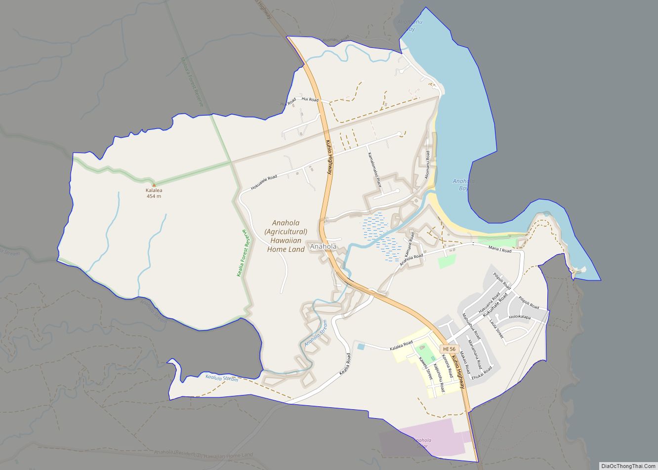
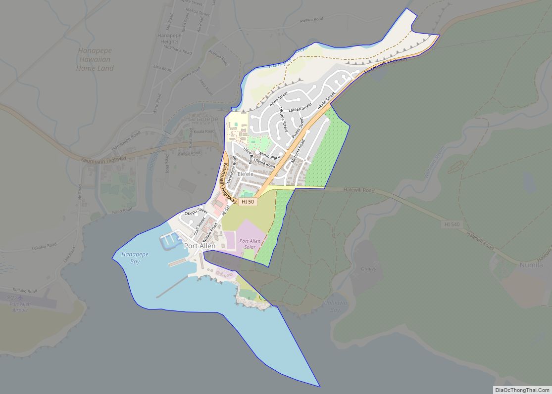
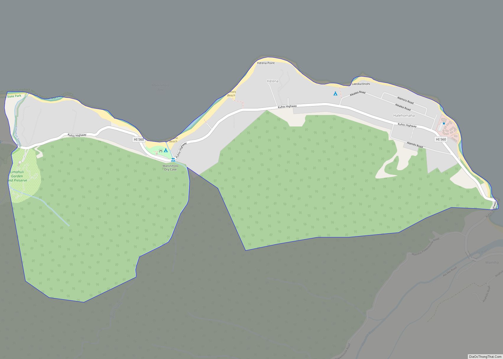
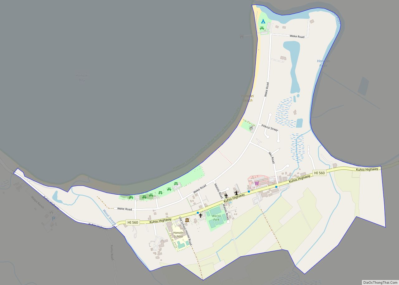
Online Interactive Map
Click on ![]() to view map in "full screen" mode.
to view map in "full screen" mode.
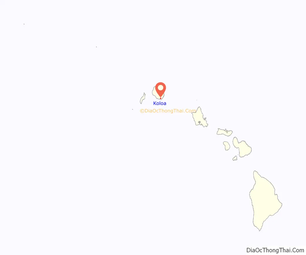
Koloa location map. Where is Koloa CDP?
History
The Old Sugar Mill of Koloa was the first major sugarcane plantation in Hawaii in 1835. Missionary Daniel Dole and his family opened a boarding school for English-speaking children, sometimes called the Koloa Academy, in 1855.
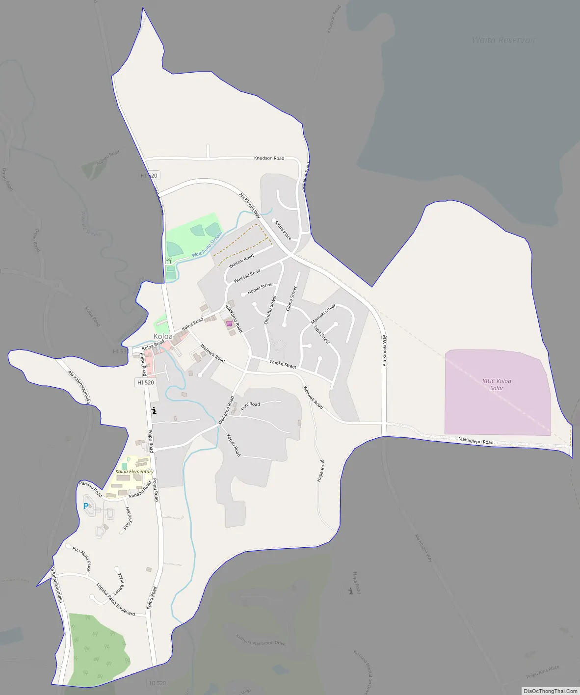
Koloa Road Map
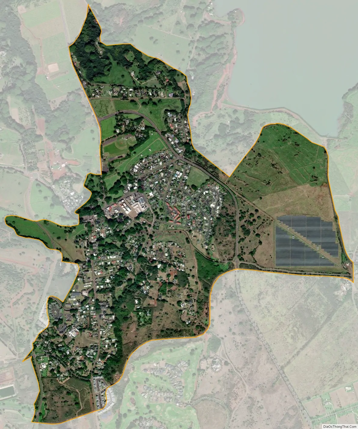
Koloa city Satellite Map
Geography
Kōloa is located on the southern side of the island of Kauai at 21°54′26″N 159°27′57″W / 21.90722°N 159.46583°W / 21.90722; -159.46583 (21.907137, -159.465877). It is bordered to the northwest by Omao and to the south by Poipu.
According to the United States Census Bureau, the CDP has a total area of 1.2 square miles (3.2 km), all of it recorded as land. Waikomo Stream passes through the center of the community.
See also
Map of Hawaii State and its subdivision: Map of other states:- Alabama
- Alaska
- Arizona
- Arkansas
- California
- Colorado
- Connecticut
- Delaware
- District of Columbia
- Florida
- Georgia
- Hawaii
- Idaho
- Illinois
- Indiana
- Iowa
- Kansas
- Kentucky
- Louisiana
- Maine
- Maryland
- Massachusetts
- Michigan
- Minnesota
- Mississippi
- Missouri
- Montana
- Nebraska
- Nevada
- New Hampshire
- New Jersey
- New Mexico
- New York
- North Carolina
- North Dakota
- Ohio
- Oklahoma
- Oregon
- Pennsylvania
- Rhode Island
- South Carolina
- South Dakota
- Tennessee
- Texas
- Utah
- Vermont
- Virginia
- Washington
- West Virginia
- Wisconsin
- Wyoming