Nāʻālehu (Hawaiian: Nāʻālehu) is a community in Hawaiʻi County, Hawaii, United States. Nāʻālehu is Hawaiian for “the volcanic ashes”. It is one of the southernmost communities with a post office in the 50 states of the United States. (See List of extreme points of the United States.) For statistical purposes, the United States Census Bureau has defined Naalehu as a census-designated place (CDP). The census definition of the area may not precisely correspond to local understanding of the area with the same name. The population was 866 at the 2010 census, down from 919 at the 2000 census.
| Name: | Naalehu CDP |
|---|---|
| LSAD Code: | 57 |
| LSAD Description: | CDP (suffix) |
| State: | Hawaii |
| County: | Hawaii County |
| Elevation: | 738 ft (225 m) |
| Total Area: | 2.17 sq mi (5.62 km²) |
| Land Area: | 2.17 sq mi (5.62 km²) |
| Water Area: | 0.00 sq mi (0.00 km²) |
| Total Population: | 811 |
| Population Density: | 374.08/sq mi (144.43/km²) |
| ZIP code: | 96772 |
| Area code: | 808 |
| FIPS code: | 1553600 |
| GNISfeature ID: | 0362519 |
Online Interactive Map
Click on ![]() to view map in "full screen" mode.
to view map in "full screen" mode.
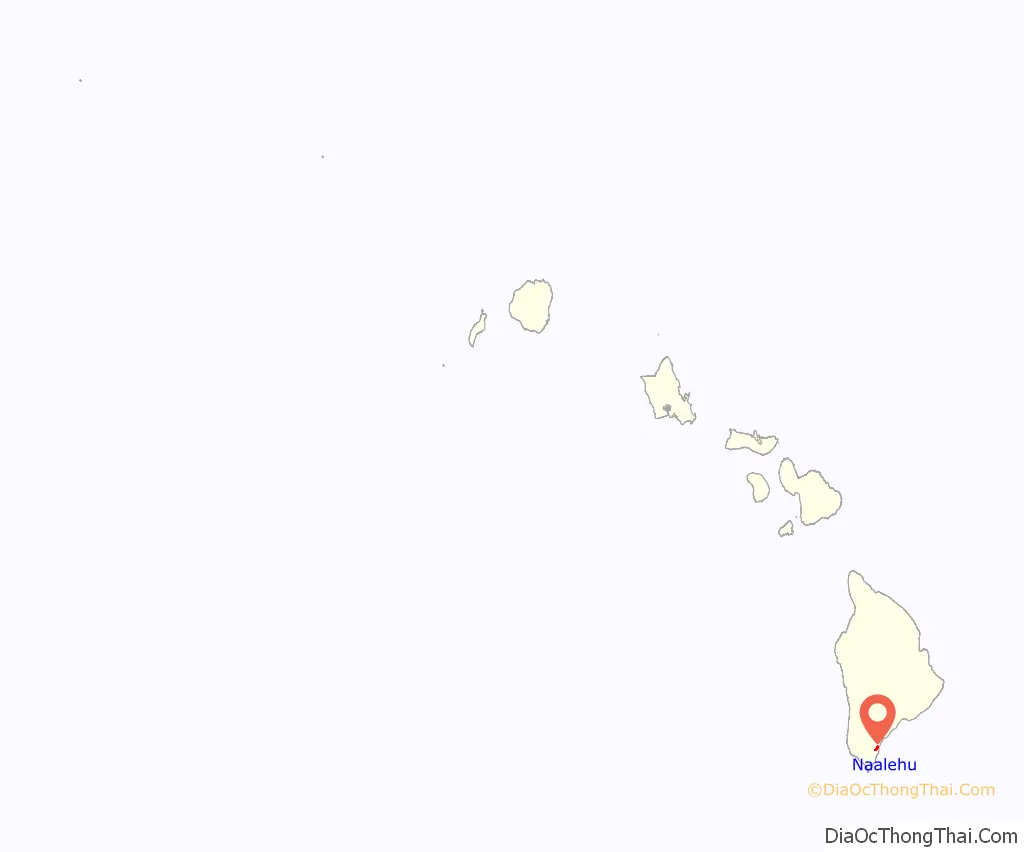
Naalehu location map. Where is Naalehu CDP?
Naalehu Road Map

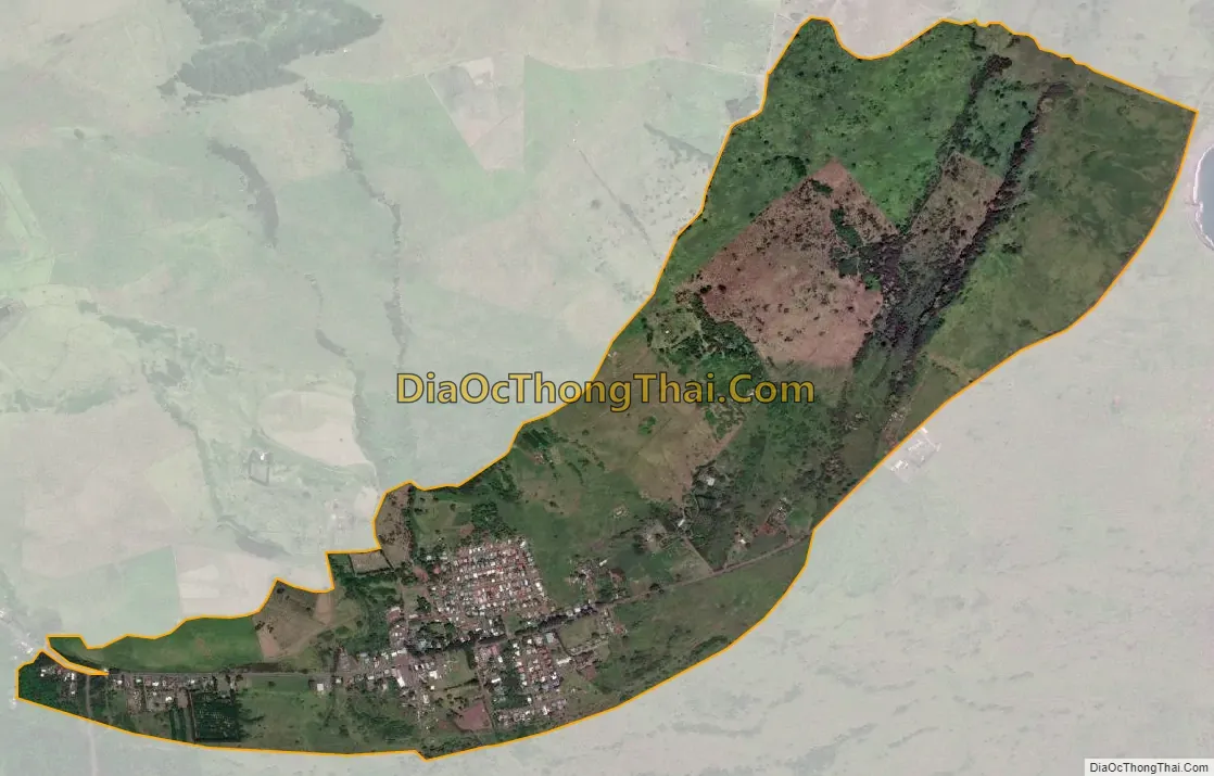
Naalehu city Satellite Map
Geography
Nāʻālehu is located near the southern tip of the island of Hawaiʻi at 19°3′57″N 155°35′15″W / 19.06583°N 155.58750°W / 19.06583; -155.58750 (19.065925, -155.587528) in the Kaʻū District. It is bordered to the west by Waiohinu, and Discovery Harbour is to the southwest. (The two communities are census-designated places but do not have post offices.)
According to the United States Census Bureau, the Nāʻālehu CDP has a total area of 2.2 square miles (5.6 km), all of it land.
See also
Map of Hawaii State and its subdivision: Map of other states:- Alabama
- Alaska
- Arizona
- Arkansas
- California
- Colorado
- Connecticut
- Delaware
- District of Columbia
- Florida
- Georgia
- Hawaii
- Idaho
- Illinois
- Indiana
- Iowa
- Kansas
- Kentucky
- Louisiana
- Maine
- Maryland
- Massachusetts
- Michigan
- Minnesota
- Mississippi
- Missouri
- Montana
- Nebraska
- Nevada
- New Hampshire
- New Jersey
- New Mexico
- New York
- North Carolina
- North Dakota
- Ohio
- Oklahoma
- Oregon
- Pennsylvania
- Rhode Island
- South Carolina
- South Dakota
- Tennessee
- Texas
- Utah
- Vermont
- Virginia
- Washington
- West Virginia
- Wisconsin
- Wyoming


