Poʻipū (literally, “crashing waves” in Hawaiian) is a census-designated place (CDP) in Kauaʻi County on the southern side of the island of Kauaʻi in the U.S. state of Hawaiʻi. The population was 1,299 at the 2020 census. The town features a group of high-end hotels, resorts and two main shopping centers.
| Name: | Poipu CDP |
|---|---|
| LSAD Code: | 57 |
| LSAD Description: | CDP (suffix) |
| State: | Hawaii |
| County: | Kauai County |
| Elevation: | 20 ft (6 m) |
| Total Area: | 2.89 sq mi (7.48 km²) |
| Land Area: | 2.57 sq mi (6.65 km²) |
| Water Area: | 0.32 sq mi (0.83 km²) |
| Total Population: | 1,299 |
| Population Density: | 505.84/sq mi (195.29/km²) |
| Area code: | 808 |
| FIPS code: | 1564550 |
| GNISfeature ID: | 0363379 |
Online Interactive Map
Click on ![]() to view map in "full screen" mode.
to view map in "full screen" mode.
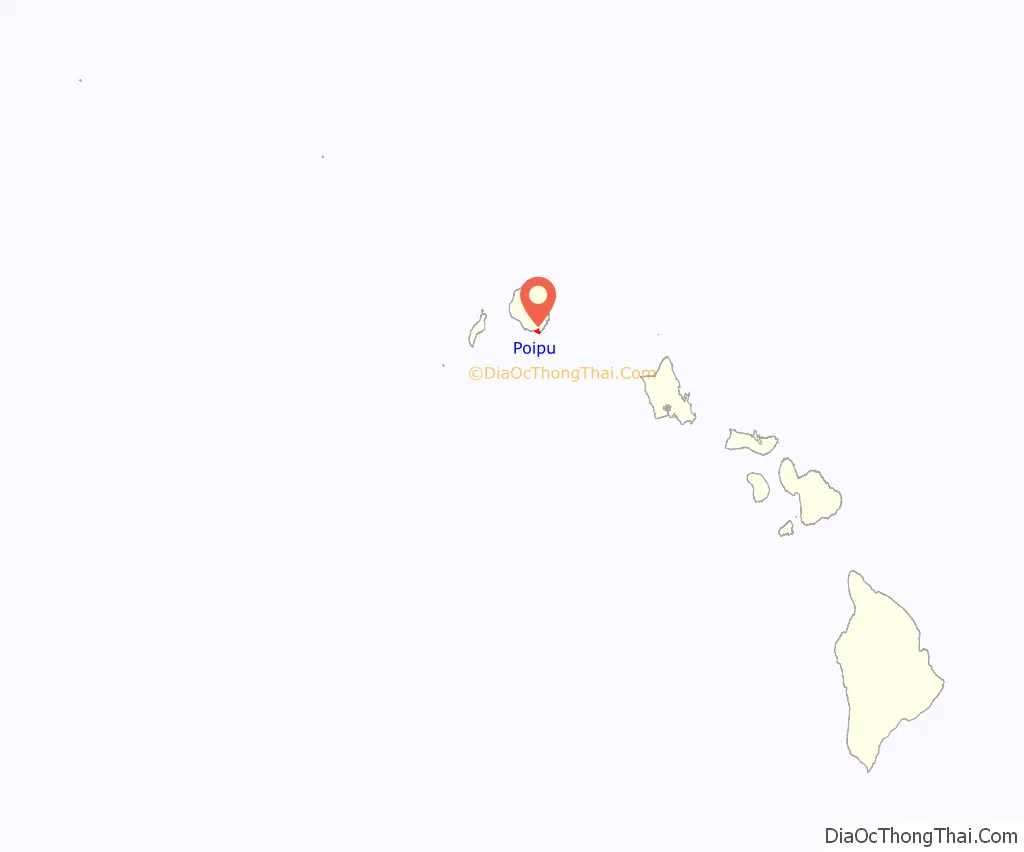
Poipu location map. Where is Poipu CDP?
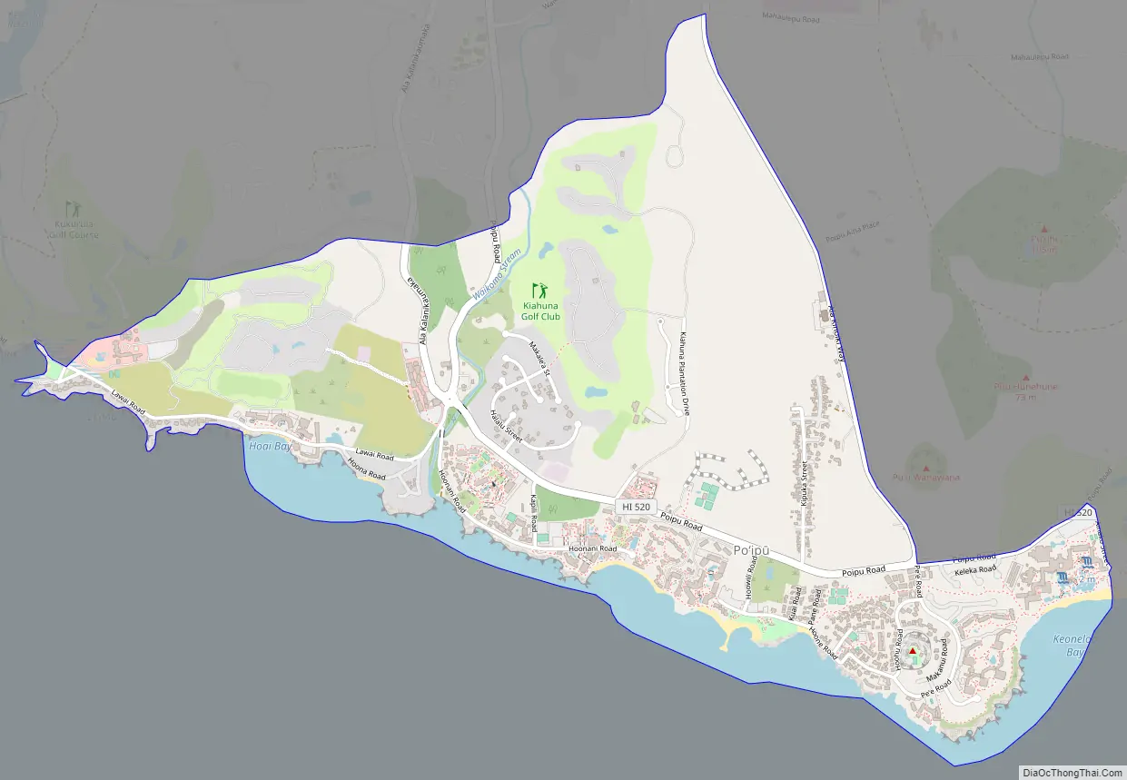
Poipu Road Map
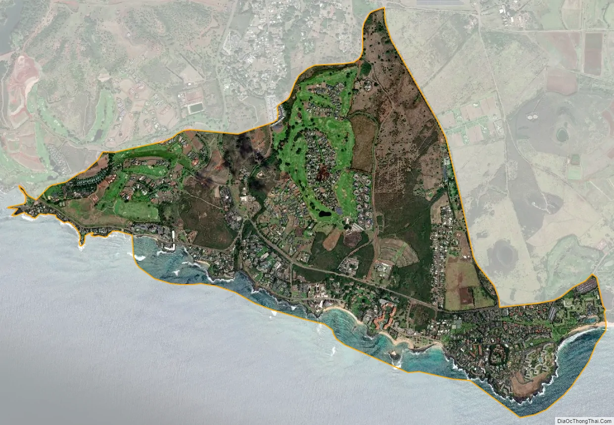
Poipu city Satellite Map
Geography
Poʻipū is located at 21°53′3″N 159°27′51″W / 21.88417°N 159.46417°W / 21.88417; -159.46417 (21.884079, -159.464195). It is bordered to the north by Koloa and to the south by the Pacific Ocean.
According to the United States Census Bureau, the CDP has a total area of 2.9 square miles (7.5 km), of which 2.6 square miles (6.7 km) are land and 0.3 square miles (0.8 km), or 11.08%, are water.
See also
Map of Hawaii State and its subdivision: Map of other states:- Alabama
- Alaska
- Arizona
- Arkansas
- California
- Colorado
- Connecticut
- Delaware
- District of Columbia
- Florida
- Georgia
- Hawaii
- Idaho
- Illinois
- Indiana
- Iowa
- Kansas
- Kentucky
- Louisiana
- Maine
- Maryland
- Massachusetts
- Michigan
- Minnesota
- Mississippi
- Missouri
- Montana
- Nebraska
- Nevada
- New Hampshire
- New Jersey
- New Mexico
- New York
- North Carolina
- North Dakota
- Ohio
- Oklahoma
- Oregon
- Pennsylvania
- Rhode Island
- South Carolina
- South Dakota
- Tennessee
- Texas
- Utah
- Vermont
- Virginia
- Washington
- West Virginia
- Wisconsin
- Wyoming