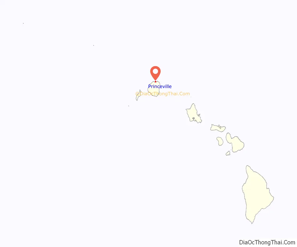
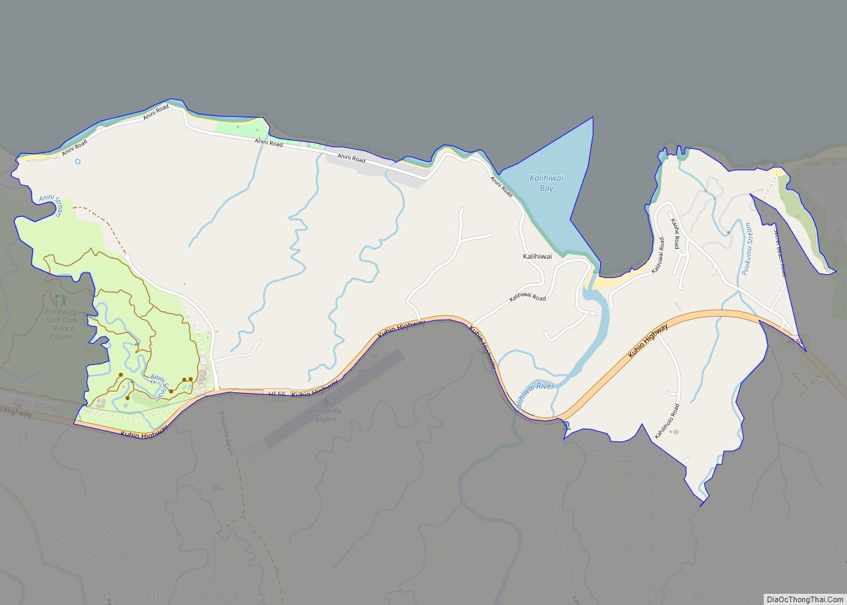
Princeville is a 9,000-acre (3,600 ha) unincorporated area mostly consisting of master-planned homes and condos on the north shore of the island of Kauai in Kauai County, Hawaii, United States. The population was 2,158 at the 2010 census, up from 1,698 at the 2000 census.
| Name: | Princeville CDP |
|---|---|
| LSAD Code: | 57 |
| LSAD Description: | CDP (suffix) |
| State: | Hawaii |
| County: | Kauai County |
| Elevation: | 194 ft (59 m) |
| Total Area: | 2.65 sq mi (6.85 km²) |
| Land Area: | 2.60 sq mi (6.74 km²) |
| Water Area: | 0.04 sq mi (0.12 km²) |
| Total Population: | 2,157 |
| Population Density: | 829.30/sq mi (320.17/km²) |
| ZIP code: | 96714, 96722 |
| Area code: | 808 |
| FIPS code: | 1565075 |
| GNISfeature ID: | 1867259 |
Online Interactive Map
Click on ![]() to view map in "full screen" mode.
to view map in "full screen" mode.
Princeville location map. Where is Princeville CDP?
History
This region was part of the Crown Lands following the Great Māhele. There was no private property prior to the Māhele, but in 1842 the land had been leased by the governor of Kauai to Godfrey Rhodes and John Bernard for a coffee plantation and this lease of Crown Lands was sold to Robert Crichton Wyllie in 1853. The area was named in honor of an 1860 visit by Prince Albert Kamehameha, son of King Kamehameha IV and Queen Emma. It was then a plantation leased by Robert Crichton Wyllie. He named another part of the plantation “Emmaville”, but that name never stuck.
Originally the land was planted with coffee, which was not suited to the wet lowlands. It was then planted with sugarcane. Wyllie’s nephew Robert Crichton Cochran inherited the land on the condition he would adopt the Wyllie surname, but he died by suicide on February 7, 1866. In 1867 it was purchased by Elisha Hunt Allen and later became a cattle ranch. It was sold for development in 1968 and became a golf course and resort called “Princeville at Hanalei”.
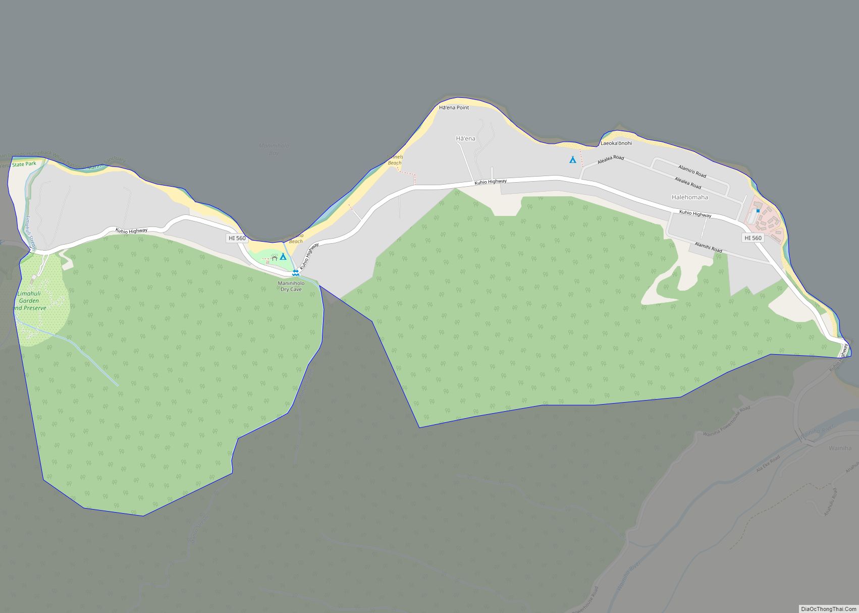
Princeville Road Map
Princeville city Satellite Map
Geography
Princeville is bordered to the east by Kalihiwai, to the west by Hanalei, and to the north by the Pacific Ocean. It is the northernmost settlement in the state of Hawaii. For statistical purposes, the United States Census Bureau has defined Princeville as a census-designated place (CDP). The census definition of the area may not precisely correspond to local understanding of the area with the same name.
According to the United States Census Bureau, the Princeville CDP has a total area of 2.5 square miles (6.4 km), of which 2.4 square miles (6.2 km) are land and 0.1 square miles (0.2 km), or 2.60%, are water.
Climate
See also
Map of Hawaii State and its subdivision: Map of other states:- Alabama
- Alaska
- Arizona
- Arkansas
- California
- Colorado
- Connecticut
- Delaware
- District of Columbia
- Florida
- Georgia
- Hawaii
- Idaho
- Illinois
- Indiana
- Iowa
- Kansas
- Kentucky
- Louisiana
- Maine
- Maryland
- Massachusetts
- Michigan
- Minnesota
- Mississippi
- Missouri
- Montana
- Nebraska
- Nevada
- New Hampshire
- New Jersey
- New Mexico
- New York
- North Carolina
- North Dakota
- Ohio
- Oklahoma
- Oregon
- Pennsylvania
- Rhode Island
- South Carolina
- South Dakota
- Tennessee
- Texas
- Utah
- Vermont
- Virginia
- Washington
- West Virginia
- Wisconsin
- Wyoming
