Puako (Hawaiian: Puakō) is a census-designated place (CDP) in Hawaiʻi County, Hawaii, United States. The population was 772 at the 2010 census, up from 429 at the 2000 census. The epicenter of the 2006 Kiholo Bay earthquake was some 6 miles (10 km) offshore of the village.
| Name: | Puako CDP |
|---|---|
| LSAD Code: | 57 |
| LSAD Description: | CDP (suffix) |
| State: | Hawaii |
| County: | Hawaii County |
| Elevation: | 0 ft (0 m) |
| Total Area: | 5.44 sq mi (14.09 km²) |
| Land Area: | 3.21 sq mi (8.31 km²) |
| Water Area: | 2.23 sq mi (5.78 km²) |
| Total Population: | 267 |
| Population Density: | 83.26/sq mi (32.15/km²) |
| Area code: | 808 |
| FIPS code: | 1565150 |
| GNISfeature ID: | 0363460 |
Online Interactive Map
Click on ![]() to view map in "full screen" mode.
to view map in "full screen" mode.
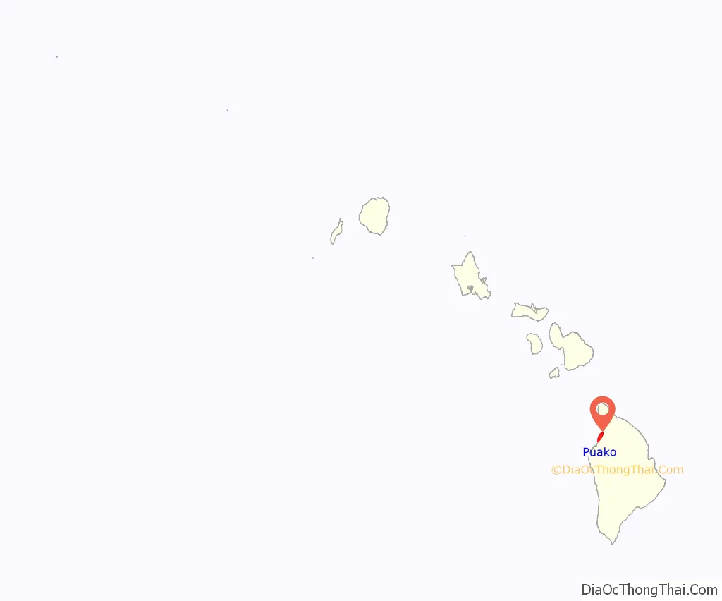
Puako location map. Where is Puako CDP?
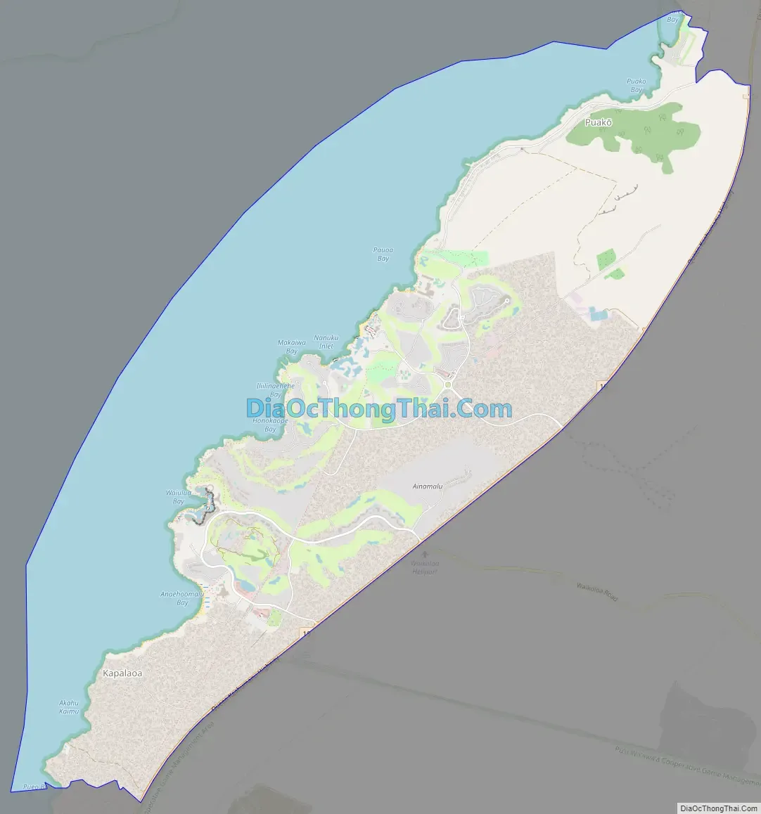
Puako Road Map
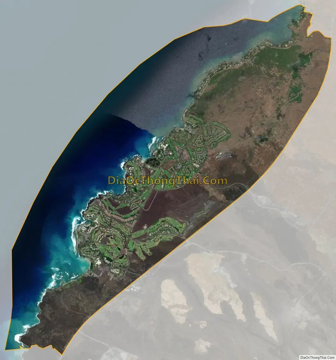
Puako city Satellite Map
Geography
Puako is located on the west side of the island of Hawaii at 19°58′3″N 155°50′48″W / 19.96750°N 155.84667°W / 19.96750; -155.84667 (19.967500, -155.846667). It is bordered to the west by the Pacific Ocean and to the east by Waikoloa Village. Hawaii Route 19 forms the eastern border of Puako and leads northeast 14 miles (23 km) to Waimea and southwest 28 miles (45 km) to Kailua-Kona.
According to the United States Census Bureau, the Puako CDP has a total area of 17.6 square miles (45.7 km), of which 10.3 square miles (26.7 km) are land and 7.3 square miles (19.0 km), or 41.56%, are water.
See also
Map of Hawaii State and its subdivision: Map of other states:- Alabama
- Alaska
- Arizona
- Arkansas
- California
- Colorado
- Connecticut
- Delaware
- District of Columbia
- Florida
- Georgia
- Hawaii
- Idaho
- Illinois
- Indiana
- Iowa
- Kansas
- Kentucky
- Louisiana
- Maine
- Maryland
- Massachusetts
- Michigan
- Minnesota
- Mississippi
- Missouri
- Montana
- Nebraska
- Nevada
- New Hampshire
- New Jersey
- New Mexico
- New York
- North Carolina
- North Dakota
- Ohio
- Oklahoma
- Oregon
- Pennsylvania
- Rhode Island
- South Carolina
- South Dakota
- Tennessee
- Texas
- Utah
- Vermont
- Virginia
- Washington
- West Virginia
- Wisconsin
- Wyoming


