Wailua (literally, “two waters” in Hawaiian) is a census-designated place (CDP) in Kauaʻi County, Hawaiʻi, United States. The population was 2,359 at the 2020 census, up from 2,083 at the 2000 census.
| Name: | Wailua CDP |
|---|---|
| LSAD Code: | 57 |
| LSAD Description: | CDP (suffix) |
| State: | Hawaii |
| County: | Kauai County |
| Elevation: | 20 ft (6 m) |
| Total Area: | 1.84 sq mi (4.77 km²) |
| Land Area: | 1.54 sq mi (3.98 km²) |
| Water Area: | 0.31 sq mi (0.80 km²) |
| Total Population: | 2,359 |
| Population Density: | 1,535.81/sq mi (593.14/km²) |
| Area code: | 808 |
| FIPS code: | 1577000 |
| GNISfeature ID: | 0364739 |
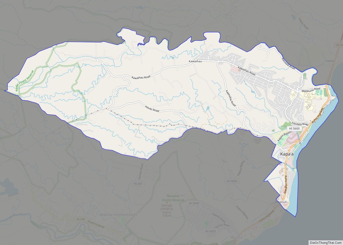
Online Interactive Map
Click on ![]() to view map in "full screen" mode.
to view map in "full screen" mode.
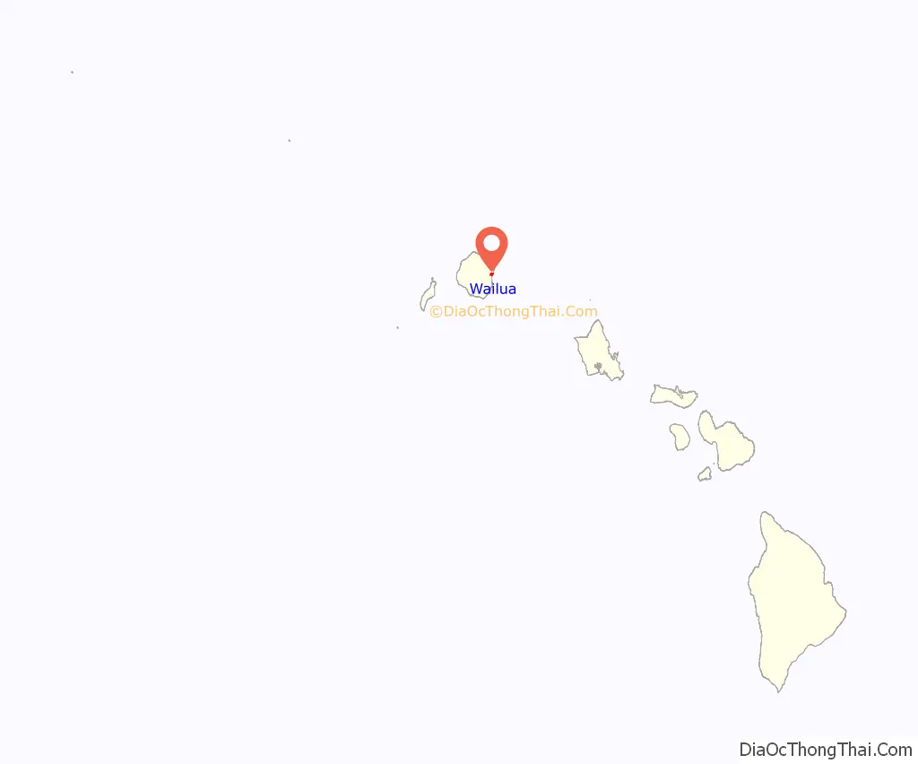
Wailua location map. Where is Wailua CDP?
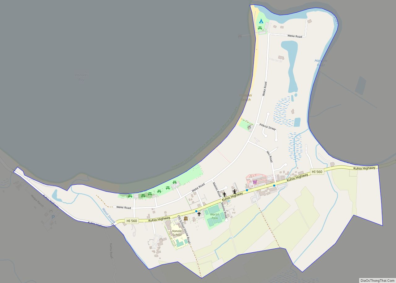
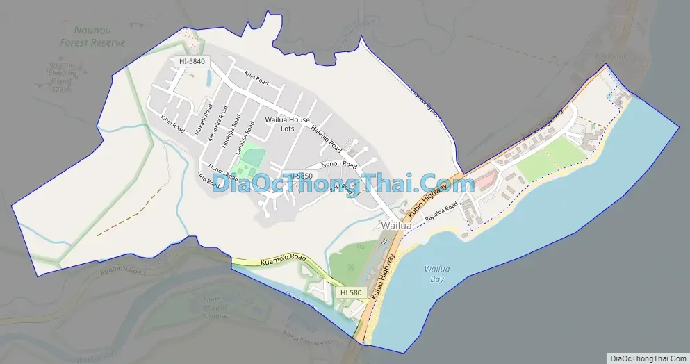
Wailua Road Map
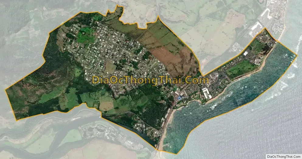
Wailua city Satellite Map
Geography
Wailua is located at 22°3′31″N 159°20′30″W / 22.05861°N 159.34167°W / 22.05861; -159.34167 (22.058631, -159.341761), on the east side of the island of Kauai. It is bordered to the north by Kapaa, to the west by the Wailua Homesteads CDP, to the south by the Wailua River, and to the east by the Pacific Ocean.
Nounou Mountain, also known as the “Sleeping Giant”, is about 1,200 feet (370 m) tall and divides coastal Wailua (the Wailua CDP) from inland Wailua (the Wailua Homesteads CDP). Inland Wailua is often referred to as a bedroom community, since it is home to many, but lacks any commercial or government facilities. Coastal Wailua is a significant commercial center, with many hotels and condominiums for visitors. The Wailua River is the only navigable river in the state of Hawaiʻi and is a center of activity for locals (water skiing, kayaking) and visitors (boat tour of Fern Grotto).
According to the United States Census Bureau, the Wailua CDP has a total area of 1.8 square miles (4.6 km), of which 1.5 square miles (3.8 km) are land and 0.3 square miles (0.8 km), or 17.27%, are water.
See also
Map of Hawaii State and its subdivision: Map of other states:- Alabama
- Alaska
- Arizona
- Arkansas
- California
- Colorado
- Connecticut
- Delaware
- District of Columbia
- Florida
- Georgia
- Hawaii
- Idaho
- Illinois
- Indiana
- Iowa
- Kansas
- Kentucky
- Louisiana
- Maine
- Maryland
- Massachusetts
- Michigan
- Minnesota
- Mississippi
- Missouri
- Montana
- Nebraska
- Nevada
- New Hampshire
- New Jersey
- New Mexico
- New York
- North Carolina
- North Dakota
- Ohio
- Oklahoma
- Oregon
- Pennsylvania
- Rhode Island
- South Carolina
- South Dakota
- Tennessee
- Texas
- Utah
- Vermont
- Virginia
- Washington
- West Virginia
- Wisconsin
- Wyoming