Waimea (literally, “red water” in Hawaiian) is a census-designated place (CDP) in Kauaʻi County, Hawaiʻi, United States. The population was 2,057 at the 2020 census. The first Europeans to reach Hawaii landed in Waimea in 1778 (giving rise to Kauai’s cheeky slogan: “Hawaii’s Original Visitor Destination”).
| Name: | Waimea CDP |
|---|---|
| LSAD Code: | 57 |
| LSAD Description: | CDP (suffix) |
| State: | Hawaii |
| County: | Kauai County |
| Elevation: | 9 ft (3 m) |
| Total Area: | 2.18 sq mi (5.64 km²) |
| Land Area: | 1.85 sq mi (4.80 km²) |
| Water Area: | 0.33 sq mi (0.85 km²) |
| Total Population: | 2,057 |
| Population Density: | 1,110.69/sq mi (428.88/km²) |
| ZIP code: | 96796 |
| Area code: | 808 |
| FIPS code: | 1578800 |
| GNISfeature ID: | 364794 |
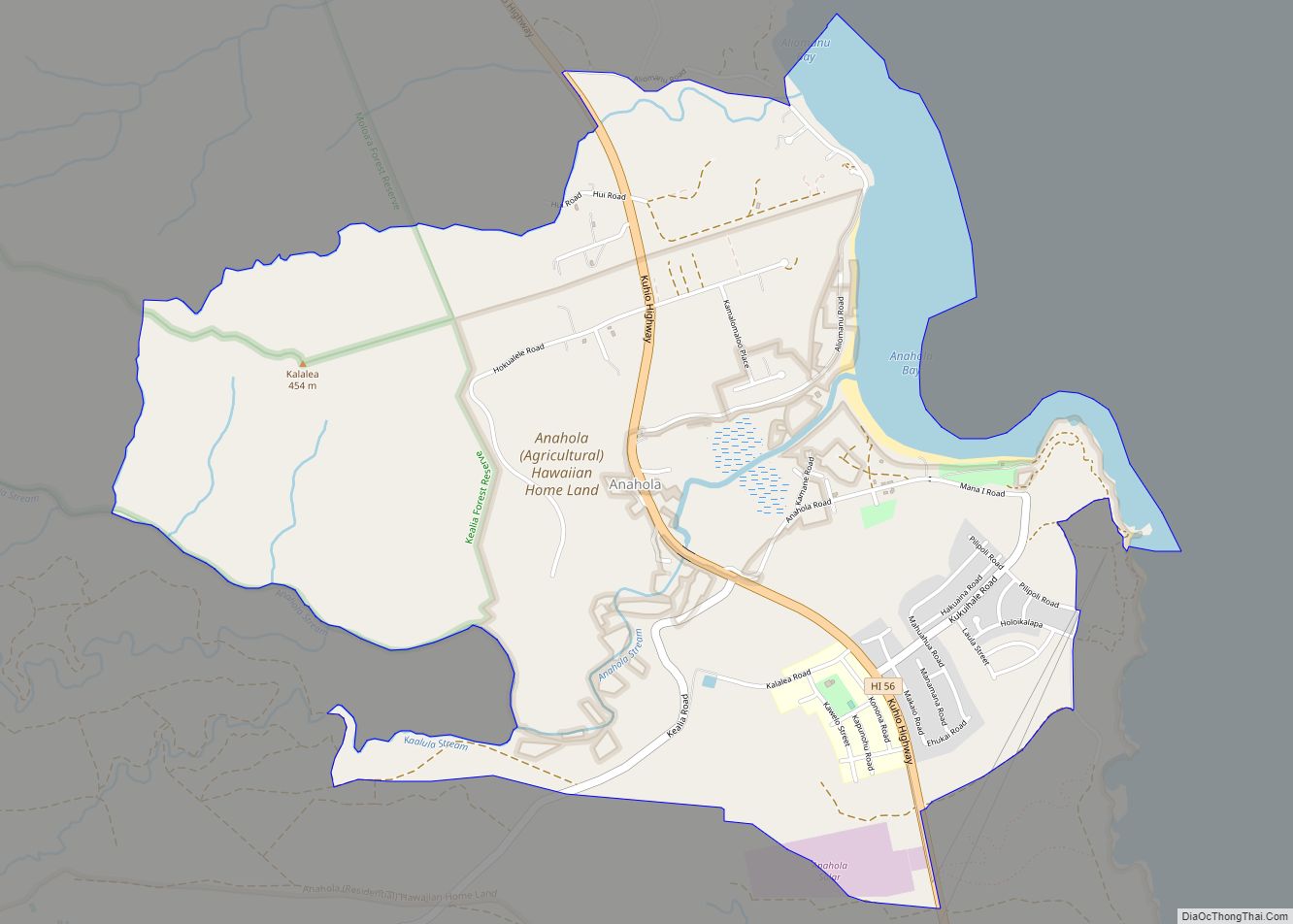
Online Interactive Map
Click on ![]() to view map in "full screen" mode.
to view map in "full screen" mode.
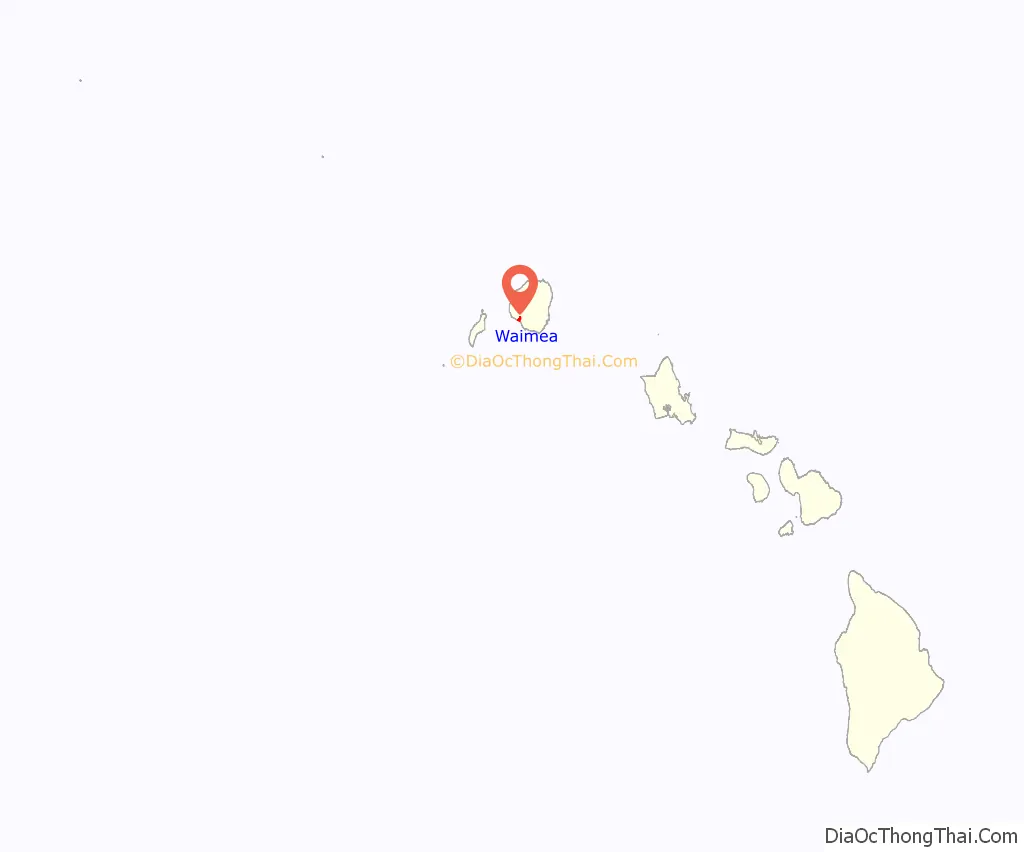
Waimea location map. Where is Waimea CDP?
History
Original settlers
Between 200 and 600 AD, the first settlers arrived in Kaua‘i from the Marquesas Islands. It is not clear why the voyagers sought a new homeland. They brought taro, sweet potato, pigs and fowl, as well as seeds. They were experienced farmers and fishermen, with advanced irrigation techniques that allowed them to thrive on the land.
Around 1000 AD, Tahitian explorers arrived in Hawai‘i and conquered the Marquesans. According to Hawaiian legend, the small-in-stature Marquesans were chased into the hills by the Tahitians, and became the “Menehune”, thought to be responsible for bad luck. The Tahitians brought with them a social and political hierarchy with distinct rules and taboos, also called “kapu”. It was forbidden for women and men to eat together, for women to eat pork or bananas, or for anyone to step on the shadow of a royal member. This kapu system, with kings (ali‘i), thrived and ruled for hundreds of years before Western explorers first made contact in the Islands.
First Western contact
On January 20, 1778, the British explorer, Captain James Cook, and his ships, HMS Discovery and Resolution, arrived at the mouth of the Waimea River on the western side of Kaua‘i. Originally, Cook sent three small craft to Waimea so that his men could determine if it was a good place for the ships to dock. They reported back that there was a freshwater lagoon alongside a native village, so Cook and his men anchored their ships and went ashore on smaller craft.
Cook’s mission is thought to be one of scientific and social exploration. His men documented the flora and fauna of the Waimea area, and tried to translate the language of the natives. This first encounter was relatively friendly. One of Cook’s men wrote, “On landing I was reciev’d [sic] with every token of respect and friendship by a great number of the Natives who were collected upon the occasion; they every one of them prostrated themselves around me which is the first mark of respect at these Isles.”
While Cook’s first contact with the islands was originally friendly and is responsible for a vast resource of information about the flora, fauna and culture of Hawai‘i, it also marks the beginning of the period of colonization of Hawai‘i and its people. The arrival of Europeans also introduced venereal disease and tuberculosis, which were responsible for decimating the native Hawaiian population.
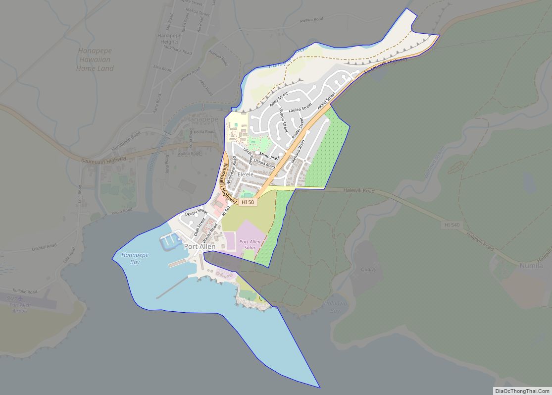
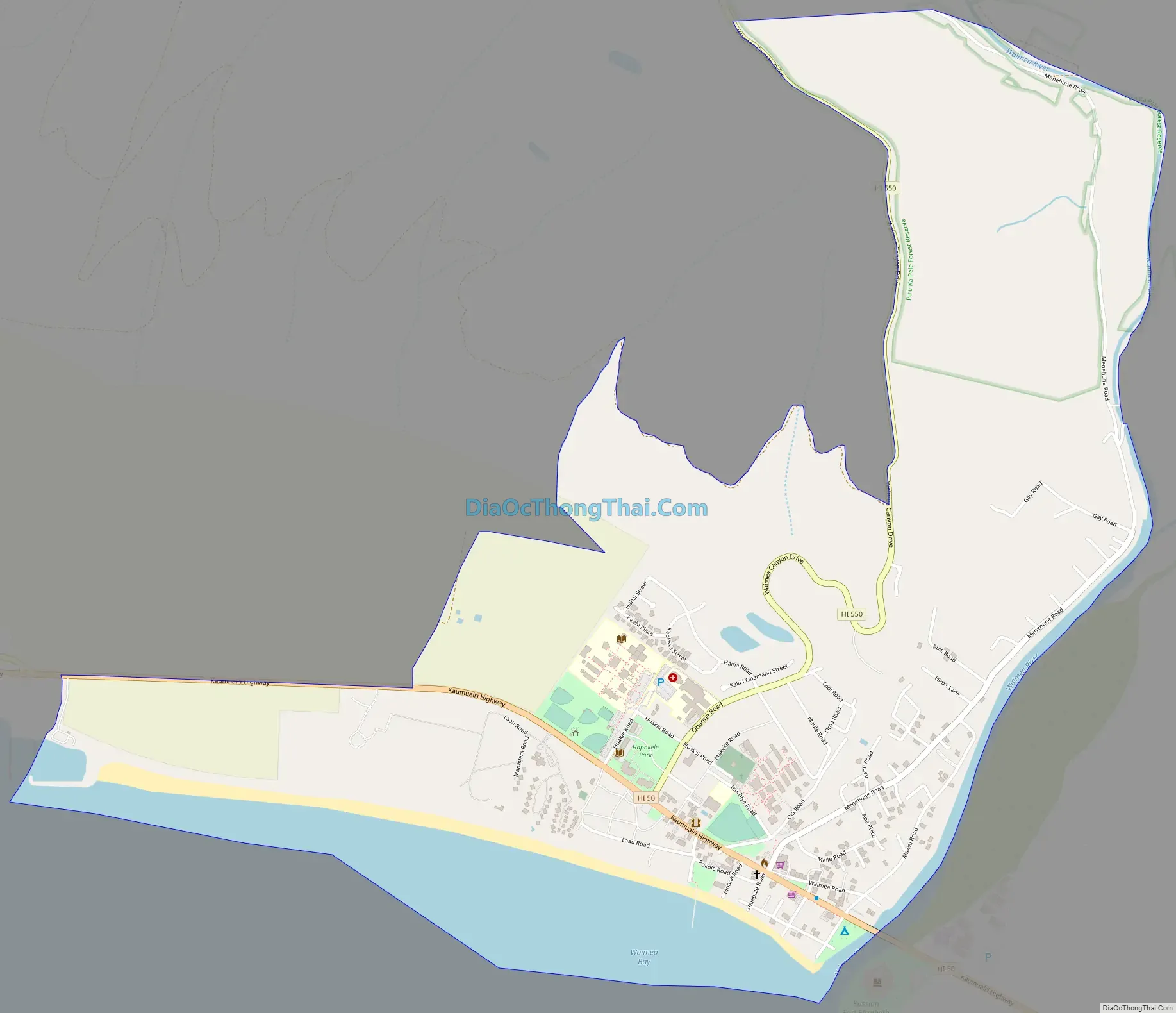
Waimea Road Map
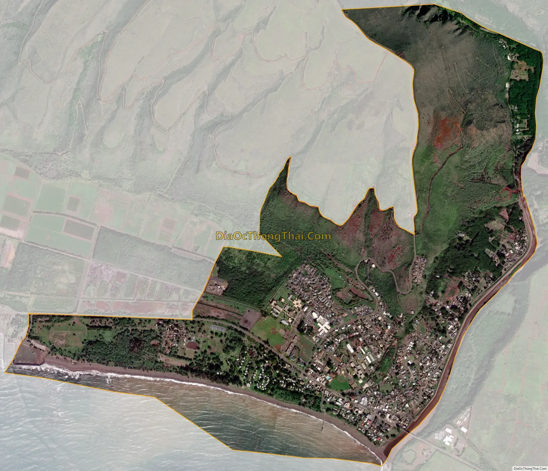
Waimea city Satellite Map
Geography
Waimea is located on the southwest side of the island of Kauai at 21°57′42″N 159°40′25″W / 21.96167°N 159.67361°W / 21.96167; -159.67361. It is bordered to the west by Kekaha, to the east by Pakala Village, and to the south by the Pacific Ocean. The Waimea River forms the eastern border of the community.
According to the United States Census Bureau, the CDP has a total area of 2.2 square miles (5.6 km), of which 1.9 square miles (4.8 km) are land and 0.3 square miles (0.8 km), or 15.09%, are water, as the CDP boundary extends into the Pacific Ocean.
See also
Map of Hawaii State and its subdivision: Map of other states:- Alabama
- Alaska
- Arizona
- Arkansas
- California
- Colorado
- Connecticut
- Delaware
- District of Columbia
- Florida
- Georgia
- Hawaii
- Idaho
- Illinois
- Indiana
- Iowa
- Kansas
- Kentucky
- Louisiana
- Maine
- Maryland
- Massachusetts
- Michigan
- Minnesota
- Mississippi
- Missouri
- Montana
- Nebraska
- Nevada
- New Hampshire
- New Jersey
- New Mexico
- New York
- North Carolina
- North Dakota
- Ohio
- Oklahoma
- Oregon
- Pennsylvania
- Rhode Island
- South Carolina
- South Dakota
- Tennessee
- Texas
- Utah
- Vermont
- Virginia
- Washington
- West Virginia
- Wisconsin
- Wyoming