Wainiha is a community section in the Hanalei district of northern Kauai. It had a total population of 419 at the 2020 census.
| Name: | Wainiha CDP |
|---|---|
| LSAD Code: | 57 |
| LSAD Description: | CDP (suffix) |
| State: | Hawaii |
| County: | Kauai County |
| FIPS code: | 1579250 |
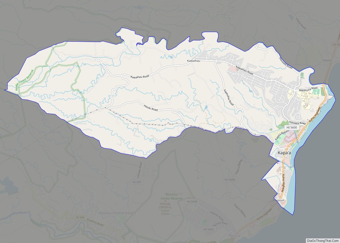
Online Interactive Map
Click on ![]() to view map in "full screen" mode.
to view map in "full screen" mode.
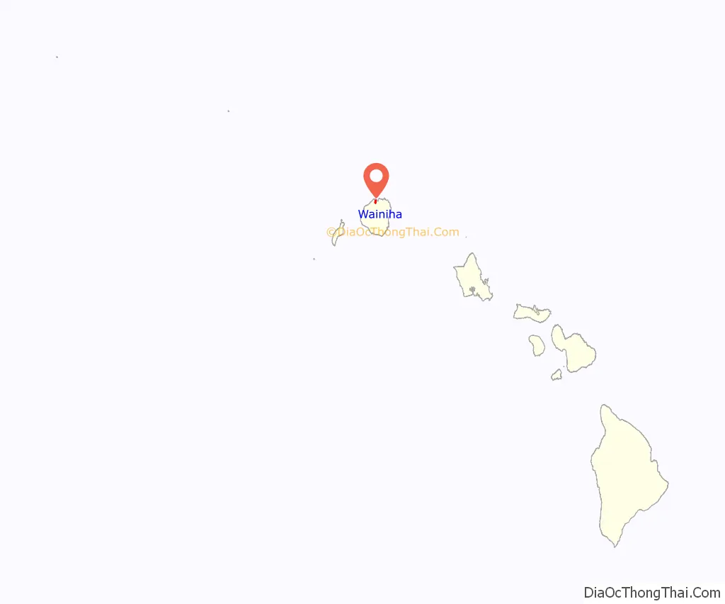
Wainiha location map. Where is Wainiha CDP?
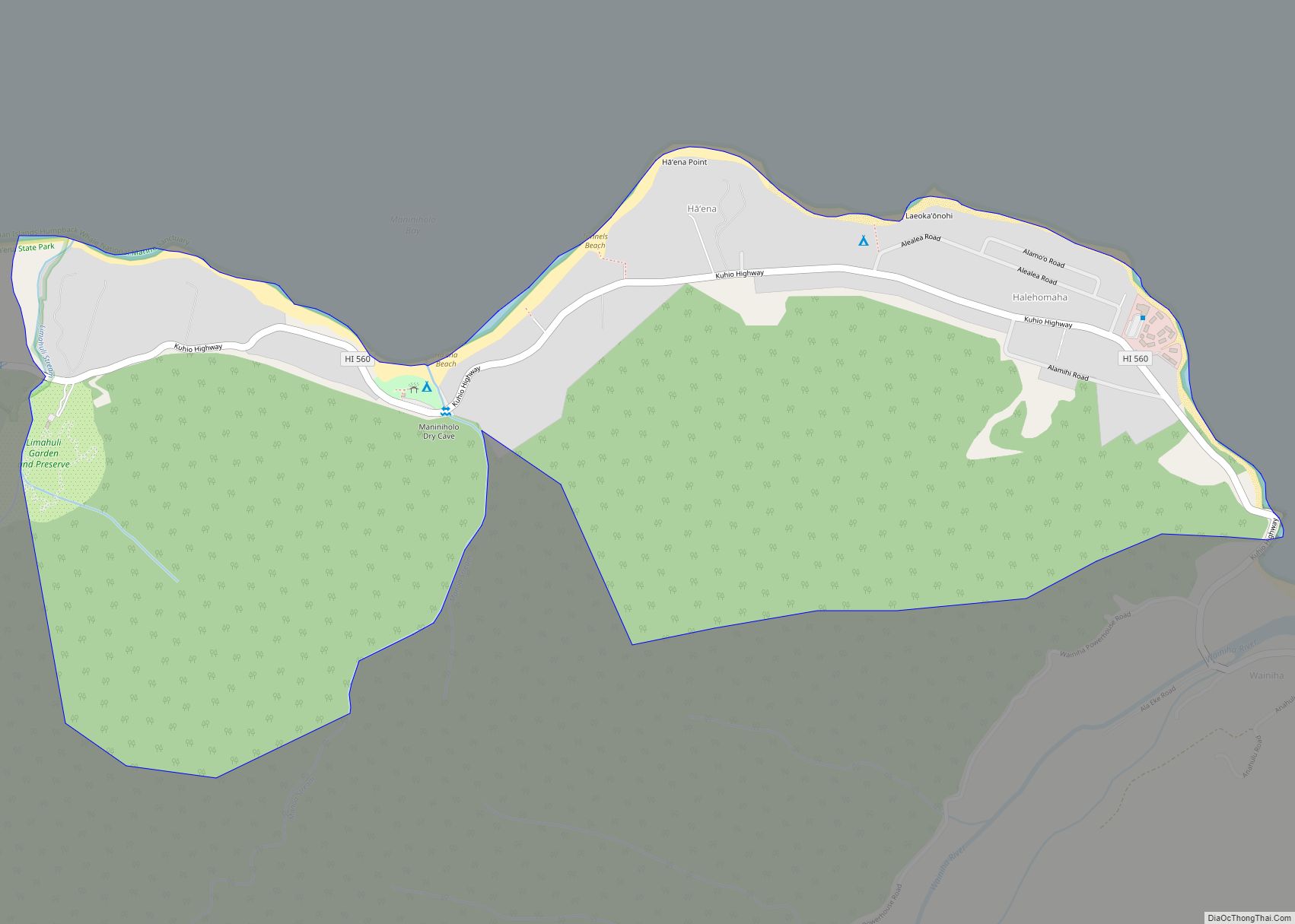
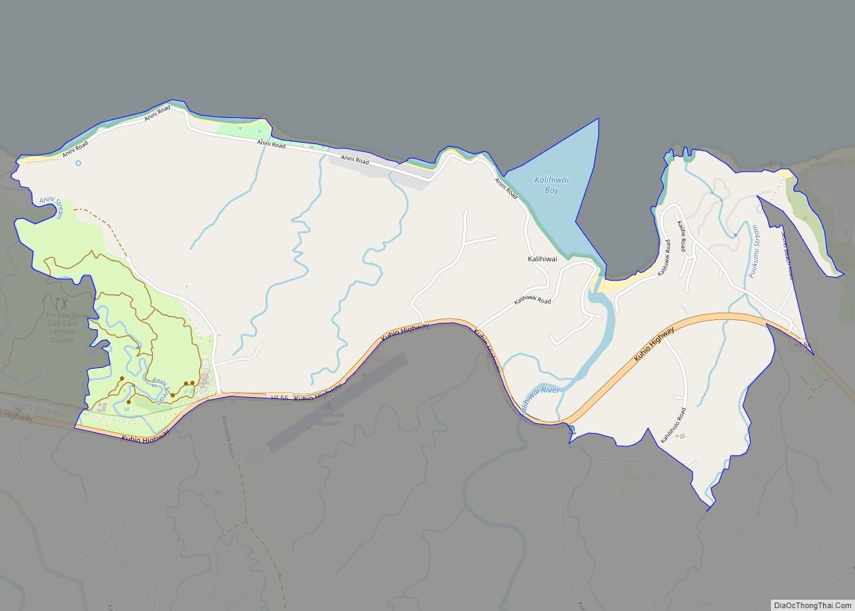
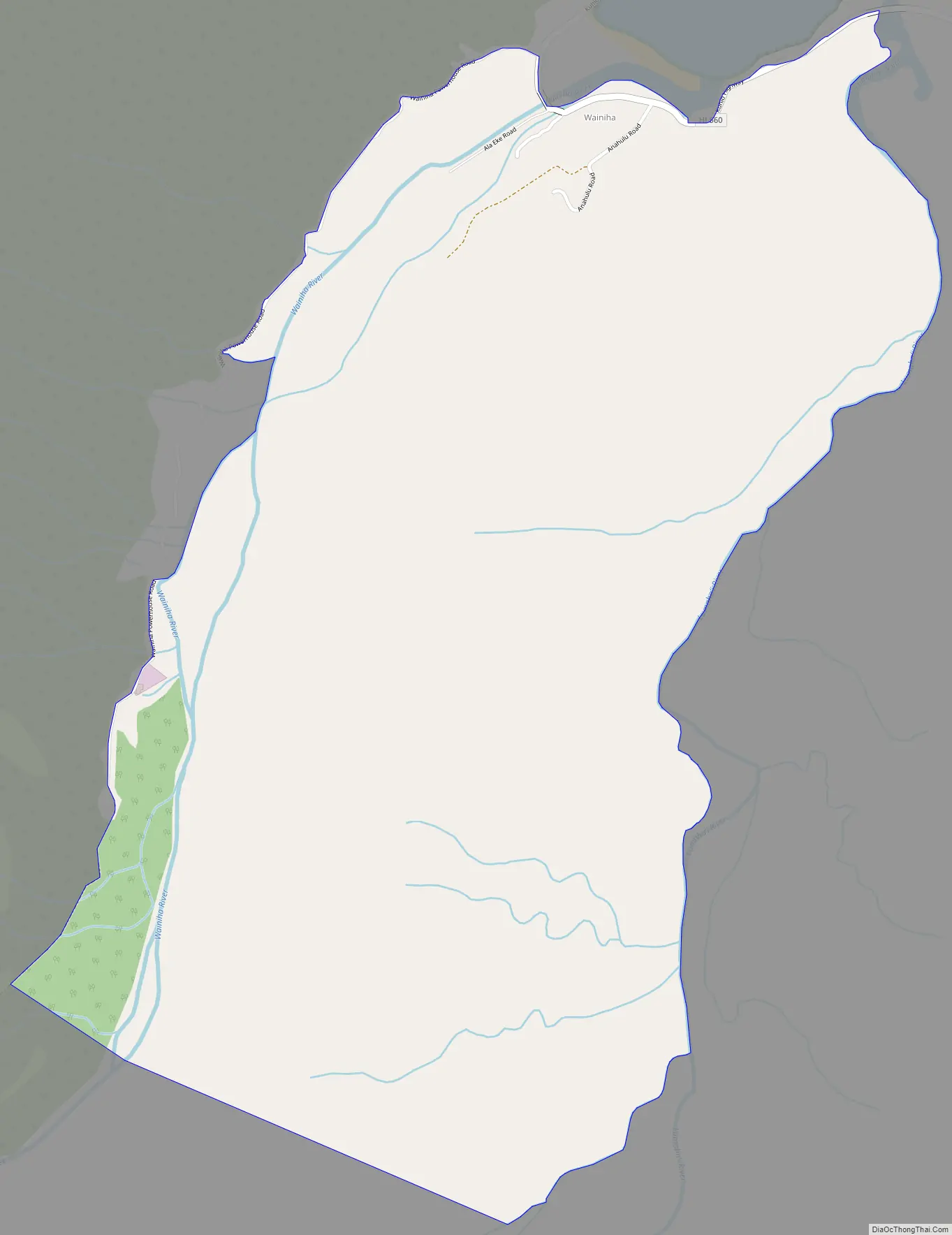
Wainiha Road Map
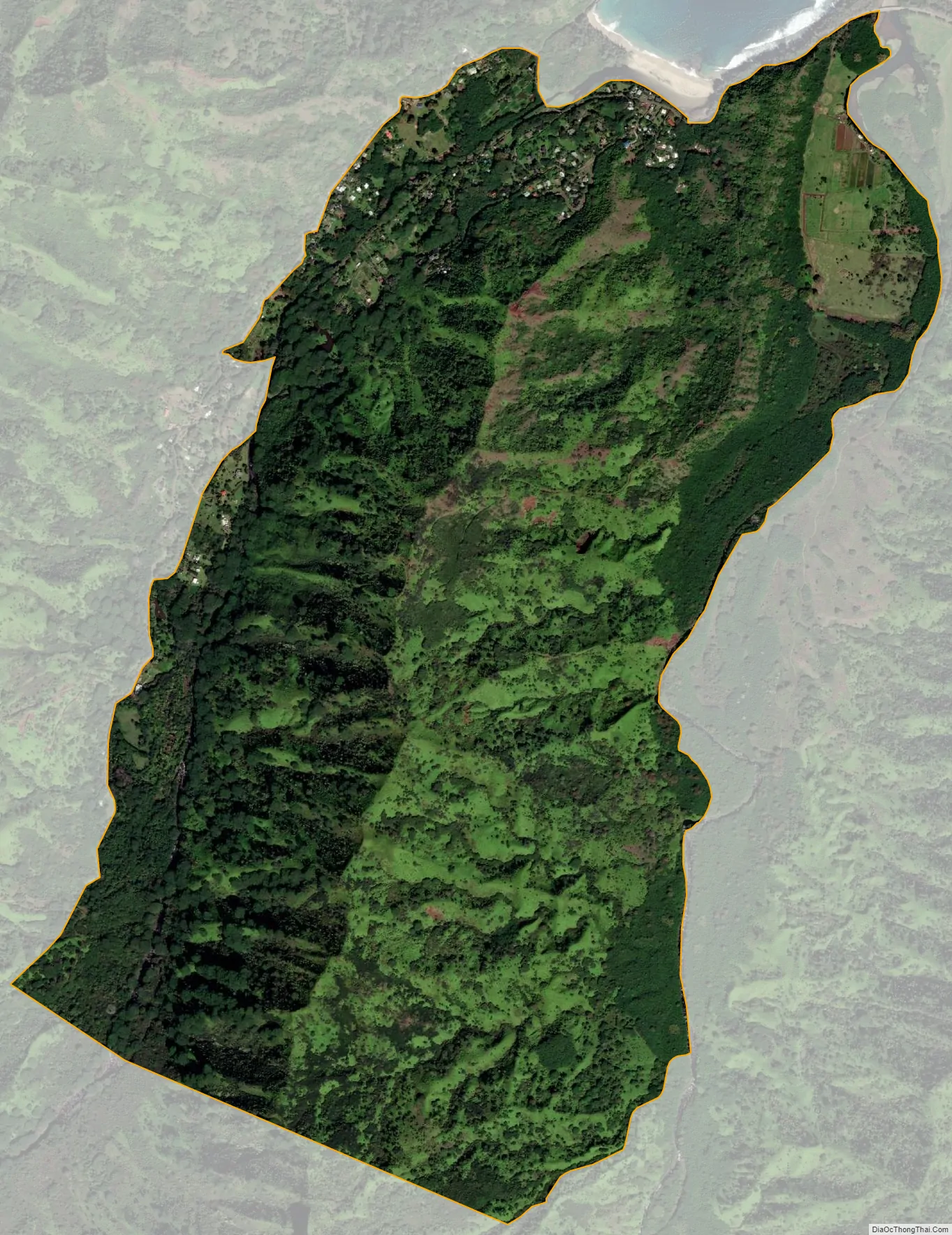
Wainiha city Satellite Map
Geography
Wainiha is on the northern coast of Kauai and includes a bay and canal. The terrain is varied and also includes a cliff (pali), river, and valley. Wainiha is 25.49 square miles. The Lumaha’i River enters the sea just to the east at Lumahai Beach.
See also
Map of Hawaii State and its subdivision: Map of other states:- Alabama
- Alaska
- Arizona
- Arkansas
- California
- Colorado
- Connecticut
- Delaware
- District of Columbia
- Florida
- Georgia
- Hawaii
- Idaho
- Illinois
- Indiana
- Iowa
- Kansas
- Kentucky
- Louisiana
- Maine
- Maryland
- Massachusetts
- Michigan
- Minnesota
- Mississippi
- Missouri
- Montana
- Nebraska
- Nevada
- New Hampshire
- New Jersey
- New Mexico
- New York
- North Carolina
- North Dakota
- Ohio
- Oklahoma
- Oregon
- Pennsylvania
- Rhode Island
- South Carolina
- South Dakota
- Tennessee
- Texas
- Utah
- Vermont
- Virginia
- Washington
- West Virginia
- Wisconsin
- Wyoming