Waiʻōhinu (Hawaiian: Waiʻōhinu; translation: “Shiny Water”) is an unincorporated community and census-designated place (CDP) in the district of Kaʻu on the Big Island of Hawaiʻi, in the U.S. state of Hawaiʻi. Waiʻōhinu is the name of the community as well as the ahupua’a, Native Hawaiian subdivision. As of the 2020 census, the CDP had a population of 198.
| Name: | Waiohinu CDP |
|---|---|
| LSAD Code: | 57 |
| LSAD Description: | CDP (suffix) |
| State: | Hawaii |
| County: | Hawaii County |
| Elevation: | 1,055 ft (322 m) |
| Total Area: | 1.34 sq mi (3.46 km²) |
| Land Area: | 1.34 sq mi (3.46 km²) |
| Water Area: | 0.00 sq mi (0.00 km²) |
| Total Population: | 198 |
| Population Density: | 148.20/sq mi (57.23/km²) |
| Area code: | 808 |
| FIPS code: | 1579550 |
| GNISfeature ID: | 0364822 |
Online Interactive Map
Click on ![]() to view map in "full screen" mode.
to view map in "full screen" mode.
Waiohinu location map. Where is Waiohinu CDP?
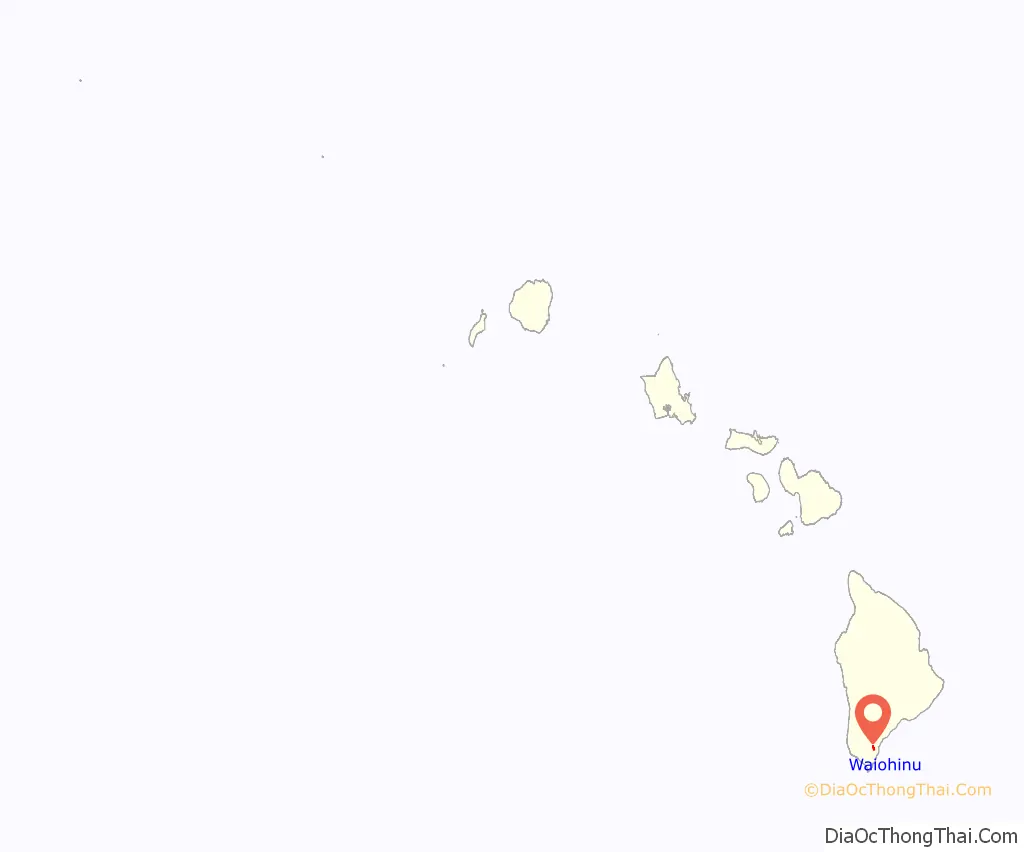
Waiohinu Road Map

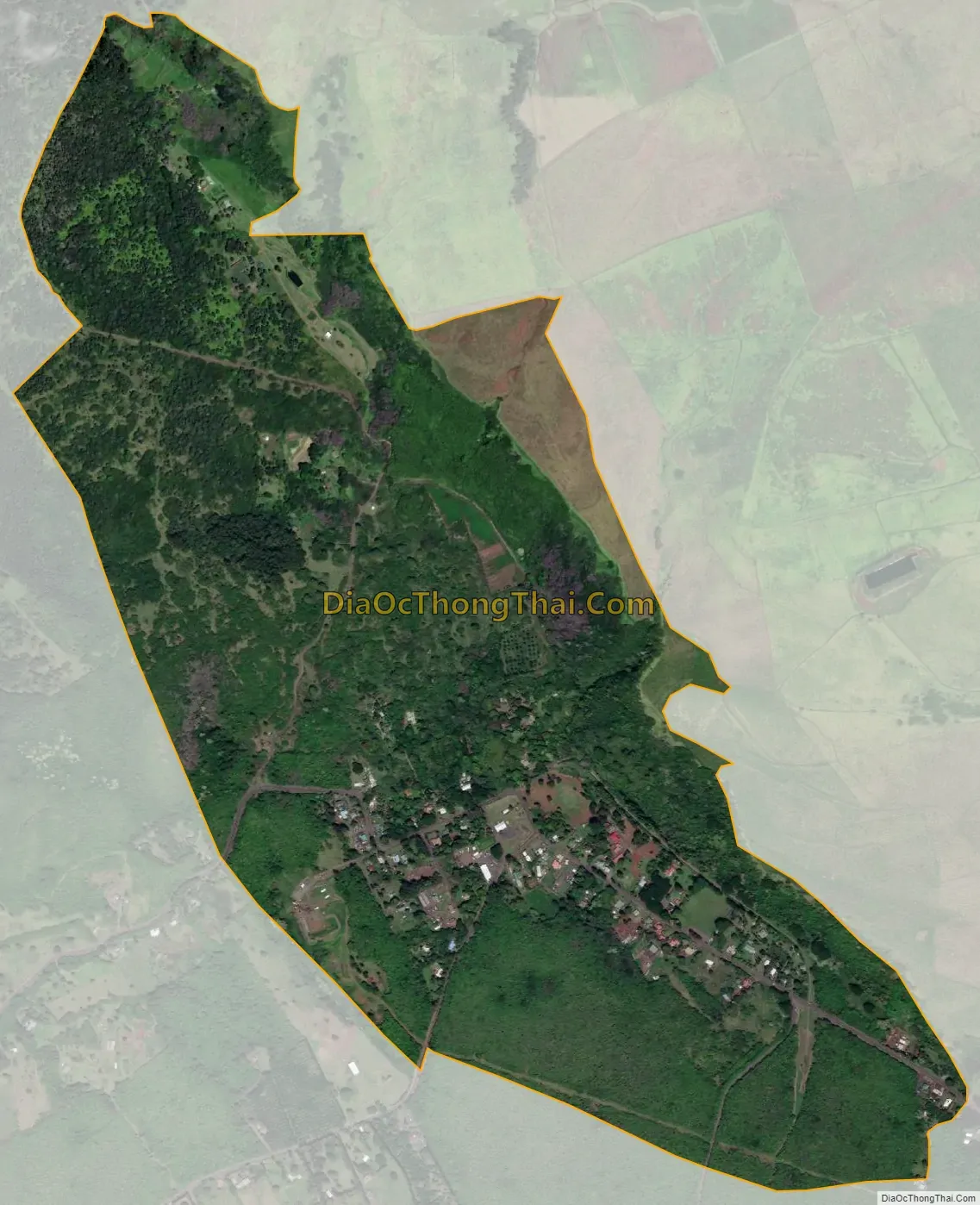
Waiohinu city Satellite Map
See also
Map of Hawaii State and its subdivision: Map of other states:- Alabama
- Alaska
- Arizona
- Arkansas
- California
- Colorado
- Connecticut
- Delaware
- District of Columbia
- Florida
- Georgia
- Hawaii
- Idaho
- Illinois
- Indiana
- Iowa
- Kansas
- Kentucky
- Louisiana
- Maine
- Maryland
- Massachusetts
- Michigan
- Minnesota
- Mississippi
- Missouri
- Montana
- Nebraska
- Nevada
- New Hampshire
- New Jersey
- New Mexico
- New York
- North Carolina
- North Dakota
- Ohio
- Oklahoma
- Oregon
- Pennsylvania
- Rhode Island
- South Carolina
- South Dakota
- Tennessee
- Texas
- Utah
- Vermont
- Virginia
- Washington
- West Virginia
- Wisconsin
- Wyoming


