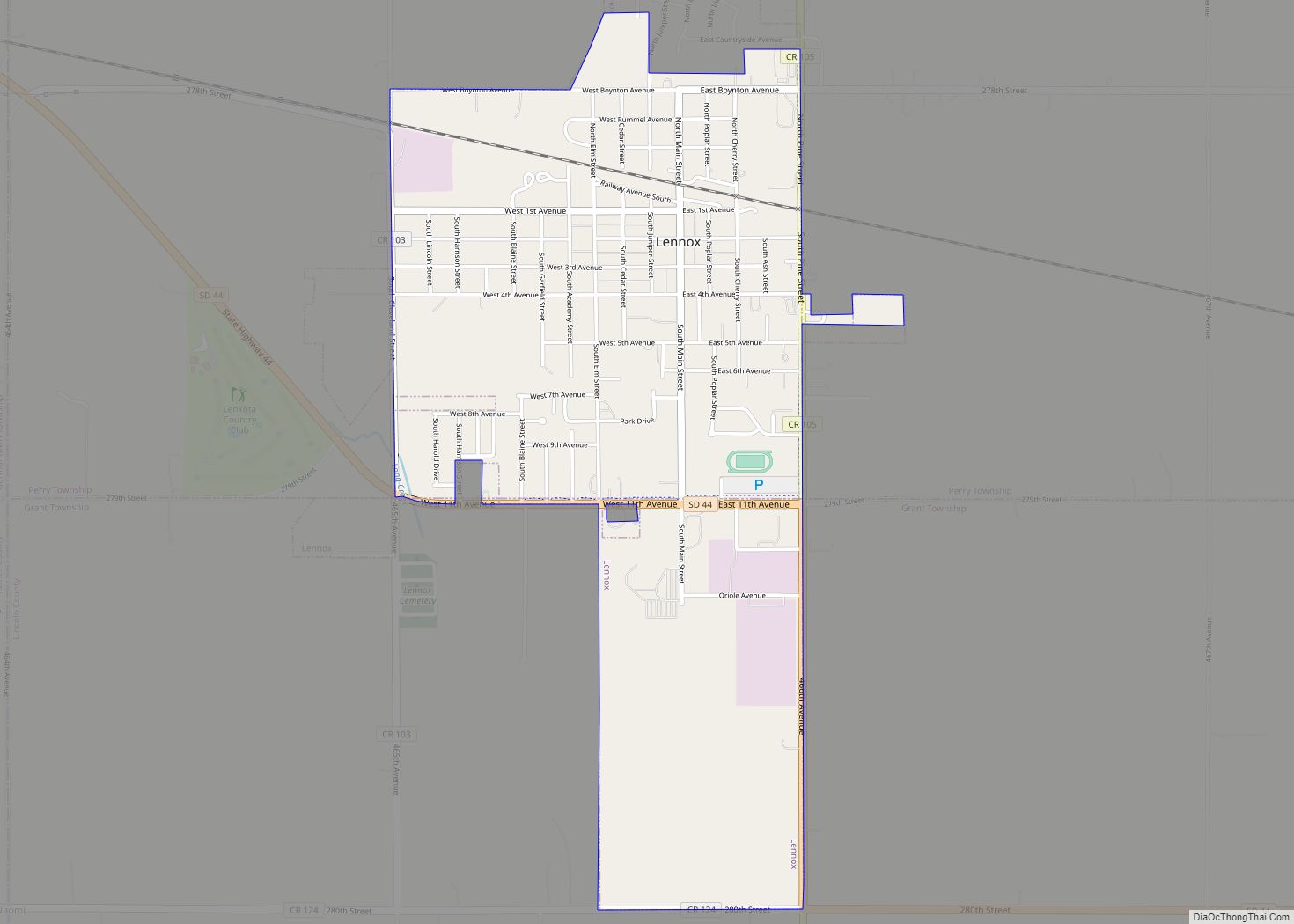
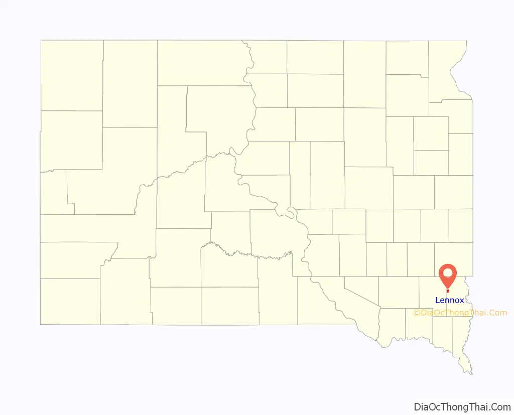
Lennox is a city in Lincoln County, South Dakota, United States, located 20 miles (32 km) southwest of Sioux Falls. The population was 2,423 at the 2020 census.
| Name: | Lennox city |
|---|---|
| LSAD Code: | 25 |
| LSAD Description: | city (suffix) |
| State: | South Dakota |
| County: | Lincoln County |
| Incorporated: | 1889 |
| Elevation: | 1,345 ft (410 m) |
| Total Area: | 1.75 sq mi (4.52 km²) |
| Land Area: | 1.75 sq mi (4.52 km²) |
| Water Area: | 0.00 sq mi (0.00 km²) |
| Total Population: | 2,423 |
| Population Density: | 1,387.74/sq mi (535.83/km²) |
| ZIP code: | 57039 |
| Area code: | 605 |
| FIPS code: | 4636380 |
| GNISfeature ID: | 1256091 |
| Website: | www.cityoflennoxsd.com |
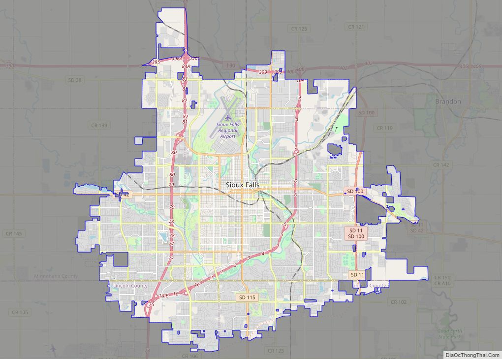
Online Interactive Map
Click on ![]() to view map in "full screen" mode.
to view map in "full screen" mode.
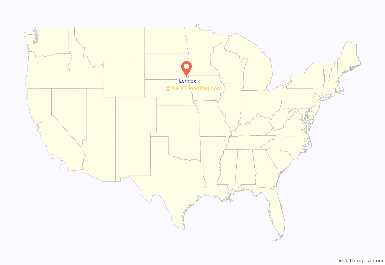
Lennox location map. Where is Lennox city?
History
The city has the name of Ben Lennox, private secretary to the general manager to the Milwaukee Railroad.
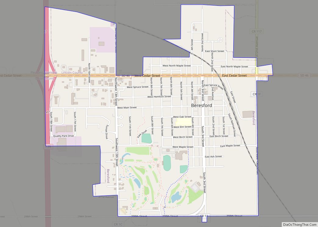
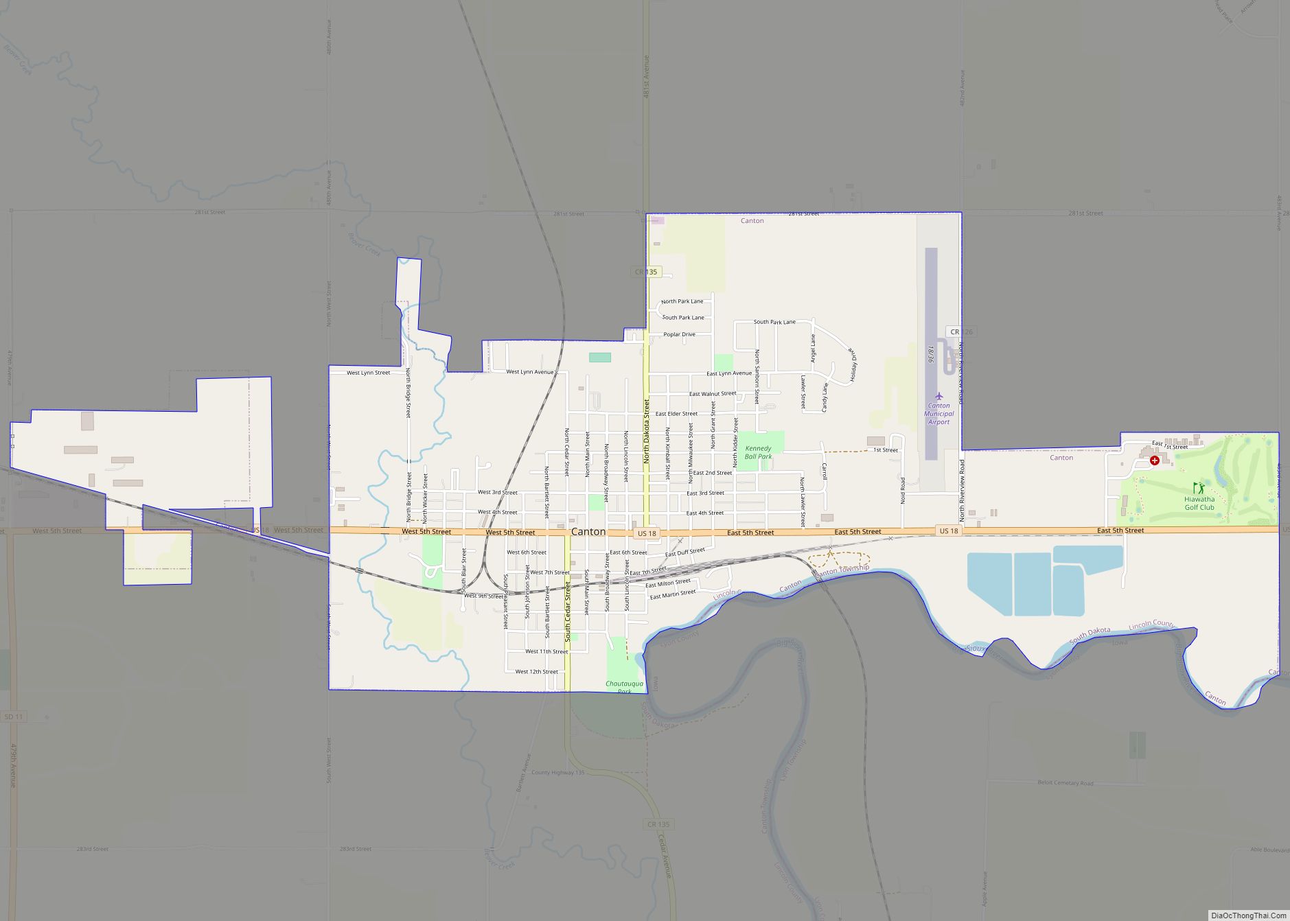
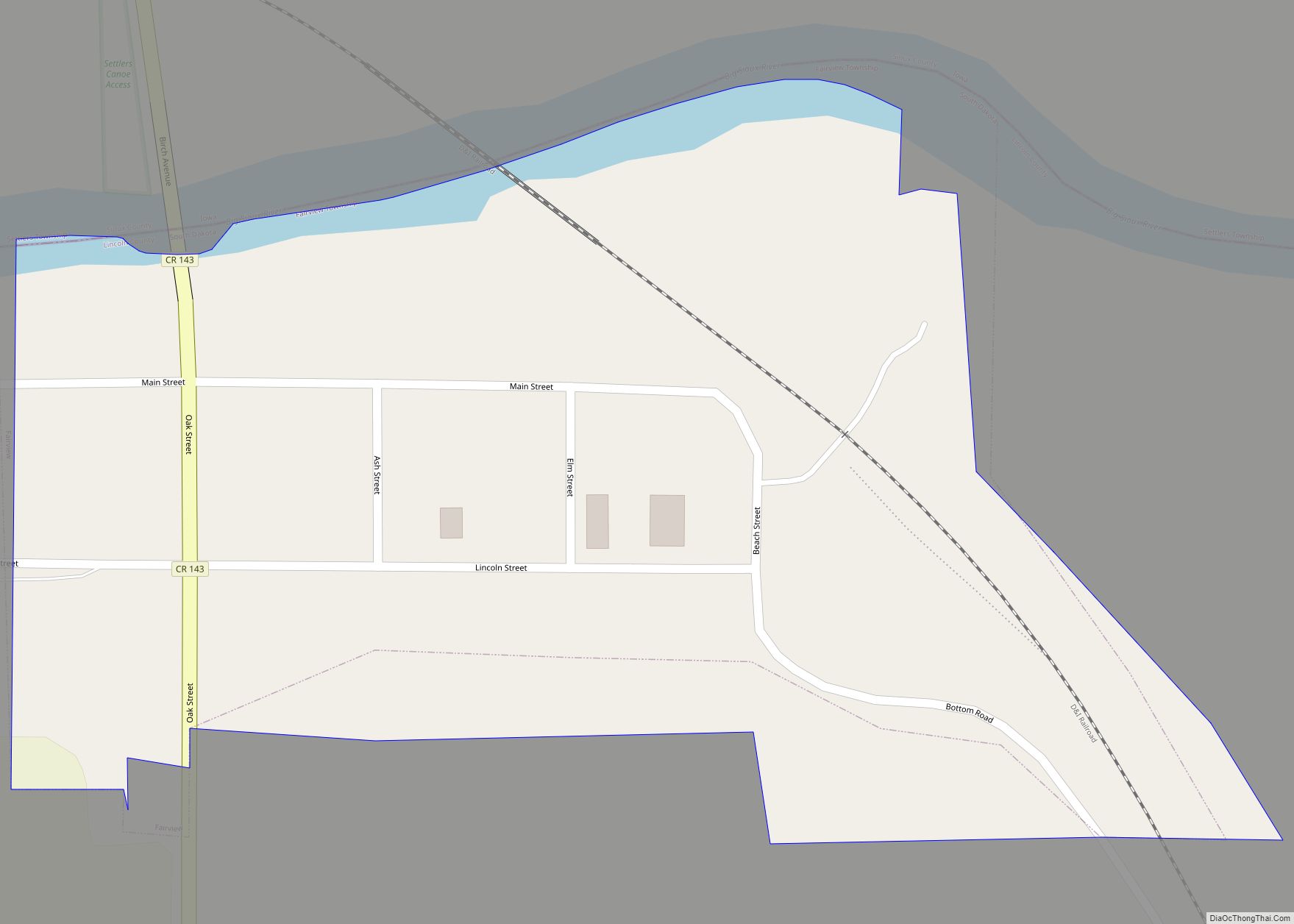
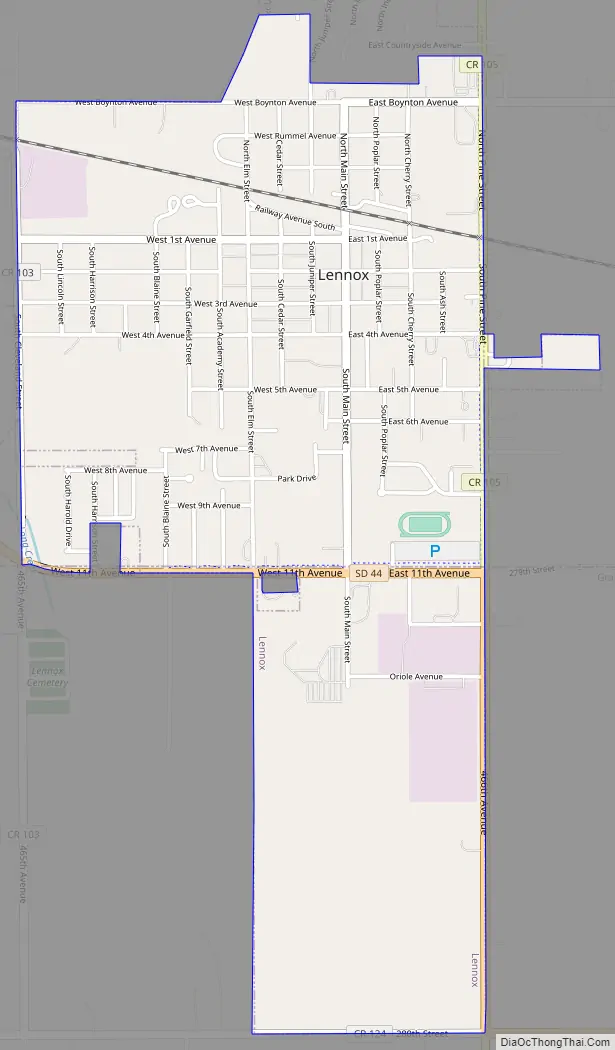
Lennox Road Map
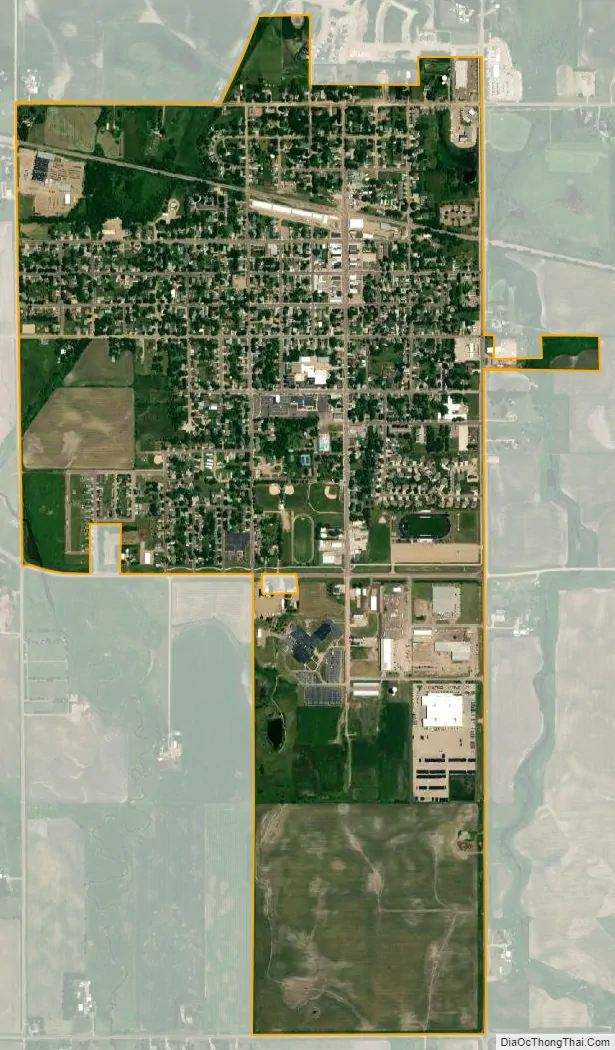
Lennox city Satellite Map
Geography
Lennox is located at 43°21′14″N 96°53′44″W / 43.35389°N 96.89556°W / 43.35389; -96.89556 (43.353769, -96.895489).
According to the United States Census Bureau, the city has a total area of 1.31 square miles (3.39 km), all land.
Lennox has been assigned the ZIP code 57039 and the FIPS place code 36380.
There are July 4 festivities each year, including the firecracker road race in the morning and a parade afterward.
See also
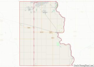
Map of South Dakota State and its subdivision:- Aurora
- Beadle
- Bennett
- Bon Homme
- Brookings
- Brown
- Brule
- Buffalo
- Butte
- Campbell
- Charles Mix
- Clark
- Clay
- Codington
- Corson
- Custer
- Davison
- Day
- Deuel
- Dewey
- Douglas
- Edmunds
- Fall River
- Faulk
- Grant
- Gregory
- Haakon
- Hamlin
- Hand
- Hanson
- Harding
- Hughes
- Hutchinson
- Hyde
- Jackson
- Jerauld
- Jones
- Kingsbury
- Lake
- Lawrence
- Lincoln
- Lyman
- Marshall
- McCook
- McPherson
- Meade
- Mellette
- Miner
- Minnehaha
- Moody
- Pennington
- Perkins
- Potter
- Roberts
- Sanborn
- Shannon
- Spink
- Stanley
- Sully
- Todd
- Tripp
- Turner
- Union
- Walworth
- Yankton
- Ziebach
- Alabama
- Alaska
- Arizona
- Arkansas
- California
- Colorado
- Connecticut
- Delaware
- District of Columbia
- Florida
- Georgia
- Hawaii
- Idaho
- Illinois
- Indiana
- Iowa
- Kansas
- Kentucky
- Louisiana
- Maine
- Maryland
- Massachusetts
- Michigan
- Minnesota
- Mississippi
- Missouri
- Montana
- Nebraska
- Nevada
- New Hampshire
- New Jersey
- New Mexico
- New York
- North Carolina
- North Dakota
- Ohio
- Oklahoma
- Oregon
- Pennsylvania
- Rhode Island
- South Carolina
- South Dakota
- Tennessee
- Texas
- Utah
- Vermont
- Virginia
- Washington
- West Virginia
- Wisconsin
- Wyoming