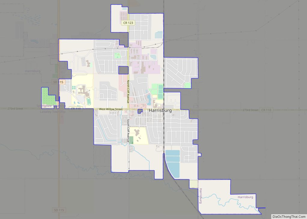
Harrisburg is a city in Lincoln County, South Dakota, United States and is a suburb of Sioux Falls. The population was 6,732 at the 2020 census. The population of the Harrisburg zip code rose from 2,476 in 2000 to 5,906 in 2010. 9,687 in 2020.
| Name: | Harrisburg city |
|---|---|
| LSAD Code: | 25 |
| LSAD Description: | city (suffix) |
| State: | South Dakota |
| County: | Lincoln County |
| Founded: | August 1, 1879 |
| Elevation: | 1,427 ft (435 m) |
| Total Area: | 4.69 sq mi (12.16 km²) |
| Land Area: | 4.69 sq mi (12.16 km²) |
| Water Area: | 0.00 sq mi (0.00 km²) |
| Total Population: | 6,732 |
| Population Density: | 1,434.17/sq mi (553.78/km²) |
| ZIP code: | 57032 |
| Area code: | 605 |
| FIPS code: | 4627260 |
| GNISfeature ID: | 1265650 |
| Website: | harrisburgsd.gov |
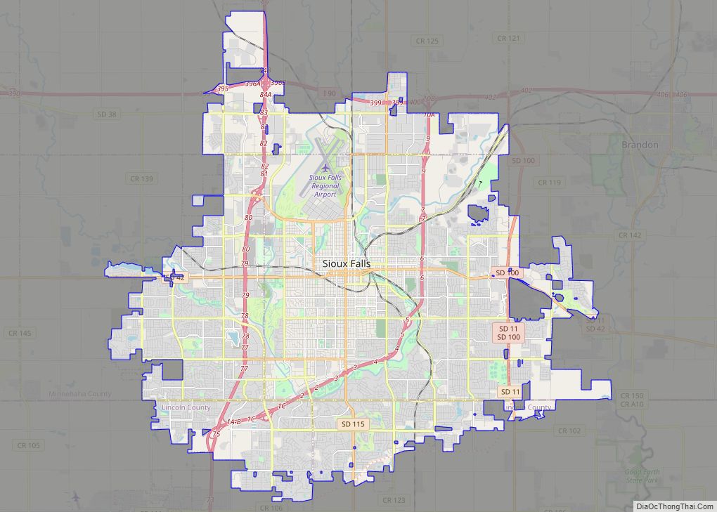
Online Interactive Map
Click on ![]() to view map in "full screen" mode.
to view map in "full screen" mode.
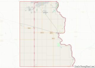
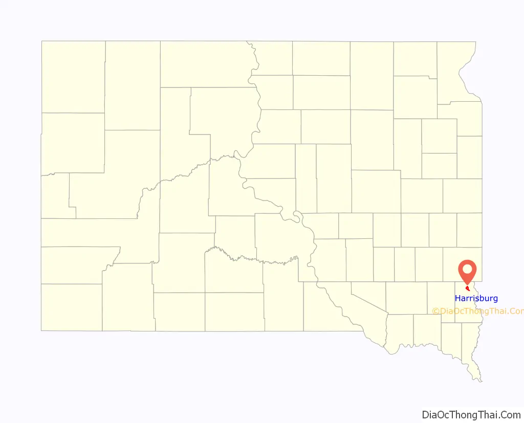
Harrisburg location map. Where is Harrisburg city?

History
Before the railroad was built through Lincoln County, a stagecoach brought mail to the Johnson Harris Homestead located on Nine Mile Creek in Dayton Township. Johnson Harris named the post office Harrisburg in honor of himself.
The history of Harrisburg started August 1, 1879, when the first train came rolling through the territory. The train went from Sioux City, Iowa, to Sioux Falls, South Dakota. The post office was moved to the Emory J. Darling Homestead, 1 mile south of what is now Harrisburg. The post office was called Salina in honor of Mrs. Jim Stillwell, an early settler and a highly respected teacher.
Finally in 1890, the depot was moved to its present site. The post office took back its original name and the town of Harrisburg was born.
One of the many early businesses in Harrisburg was the State Bank, circa 1901–1945. The bank’s building is still located in its original spot at 101 Railroad Ave. The bank itself was built in 1899 and completely restored in 2006 by its current owner RISE, Inc. is a construction management/structural engineering firm.
Much mystery surrounds the old bank building, including whether or not the infamous bandit John Dillinger stopped to rob it. According to popular legend, after Dillinger robbed the bank, he fired a round into the teller counter as a reminder not to follow him out. That bullet hole remains there today.
Harrisburg Road Map
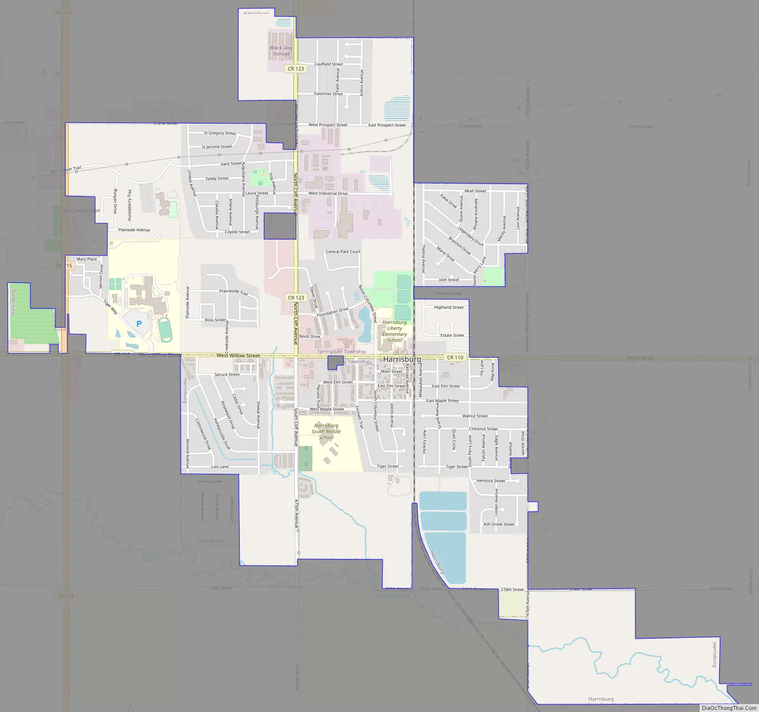
Harrisburg city Satellite Map

Geography
Harrisburg is located at 43°25′46″N 96°41′46″W / 43.42944°N 96.69611°W / 43.42944; -96.69611 (43.429366, -96.696113).
According to the United States Census Bureau, the city has a total area of 2.48 square miles (6.42 km), all land.
Harrisburg has been assigned the ZIP code 57032 and the FIPS place code 27260.
Harrisburg is an estimated 2.7 miles from the southern edge of Sioux Falls metro area.
See also
Map of South Dakota State and its subdivision:- Aurora
- Beadle
- Bennett
- Bon Homme
- Brookings
- Brown
- Brule
- Buffalo
- Butte
- Campbell
- Charles Mix
- Clark
- Clay
- Codington
- Corson
- Custer
- Davison
- Day
- Deuel
- Dewey
- Douglas
- Edmunds
- Fall River
- Faulk
- Grant
- Gregory
- Haakon
- Hamlin
- Hand
- Hanson
- Harding
- Hughes
- Hutchinson
- Hyde
- Jackson
- Jerauld
- Jones
- Kingsbury
- Lake
- Lawrence
- Lincoln
- Lyman
- Marshall
- McCook
- McPherson
- Meade
- Mellette
- Miner
- Minnehaha
- Moody
- Pennington
- Perkins
- Potter
- Roberts
- Sanborn
- Shannon
- Spink
- Stanley
- Sully
- Todd
- Tripp
- Turner
- Union
- Walworth
- Yankton
- Ziebach
- Alabama
- Alaska
- Arizona
- Arkansas
- California
- Colorado
- Connecticut
- Delaware
- District of Columbia
- Florida
- Georgia
- Hawaii
- Idaho
- Illinois
- Indiana
- Iowa
- Kansas
- Kentucky
- Louisiana
- Maine
- Maryland
- Massachusetts
- Michigan
- Minnesota
- Mississippi
- Missouri
- Montana
- Nebraska
- Nevada
- New Hampshire
- New Jersey
- New Mexico
- New York
- North Carolina
- North Dakota
- Ohio
- Oklahoma
- Oregon
- Pennsylvania
- Rhode Island
- South Carolina
- South Dakota
- Tennessee
- Texas
- Utah
- Vermont
- Virginia
- Washington
- West Virginia
- Wisconsin
- Wyoming