Muskegon (/məˈskiːɡən/ məs-KEE-gən), a city in the US. state of Michigan, is the county seat of Muskegon County. Situated around a harbor of Lake Michigan, Muskegon is known for fishing, sailing regattas, and pleasure boating, and as a commercial- and cruise-ship port. It is a popular vacation destination because of the expansive freshwater beaches, historic architecture, and public art collection. It is the most populous city along Lake Michigan’s Eastern shore. At the 2020 United States Census, the city’s population was 38,318. The southwest corner of Muskegon Township, the city is administratively autonomous.
Muskegon is the center of the Muskegon metropolitan statistical area, which is coextensive with Muskegon County and had a population of 173,566 in 2019. It is also part of the larger Grand Rapids–Kentwood-Muskegon-combined statistical area with a population of 1,433,288.
| Name: | Muskegon city |
|---|---|
| LSAD Code: | 25 |
| LSAD Description: | city (suffix) |
| State: | Michigan |
| County: | Muskegon County |
| Elevation: | 617 ft (191.4 m) |
| Land Area: | 14.14 sq mi (36.63 km²) |
| Water Area: | 4.05 sq mi (10.50 km²) |
| Population Density: | 2,709.33/sq mi (1,046.05/km²) |
| ZIP code: | 49440-49445 |
| Area code: | 231 |
| FIPS code: | 2656320 |
| GNISfeature ID: | 1620963 |
| Website: | http://www.muskegon-mi.gov/ |
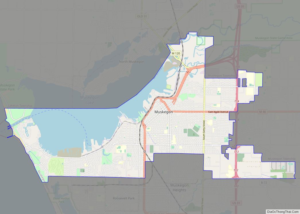
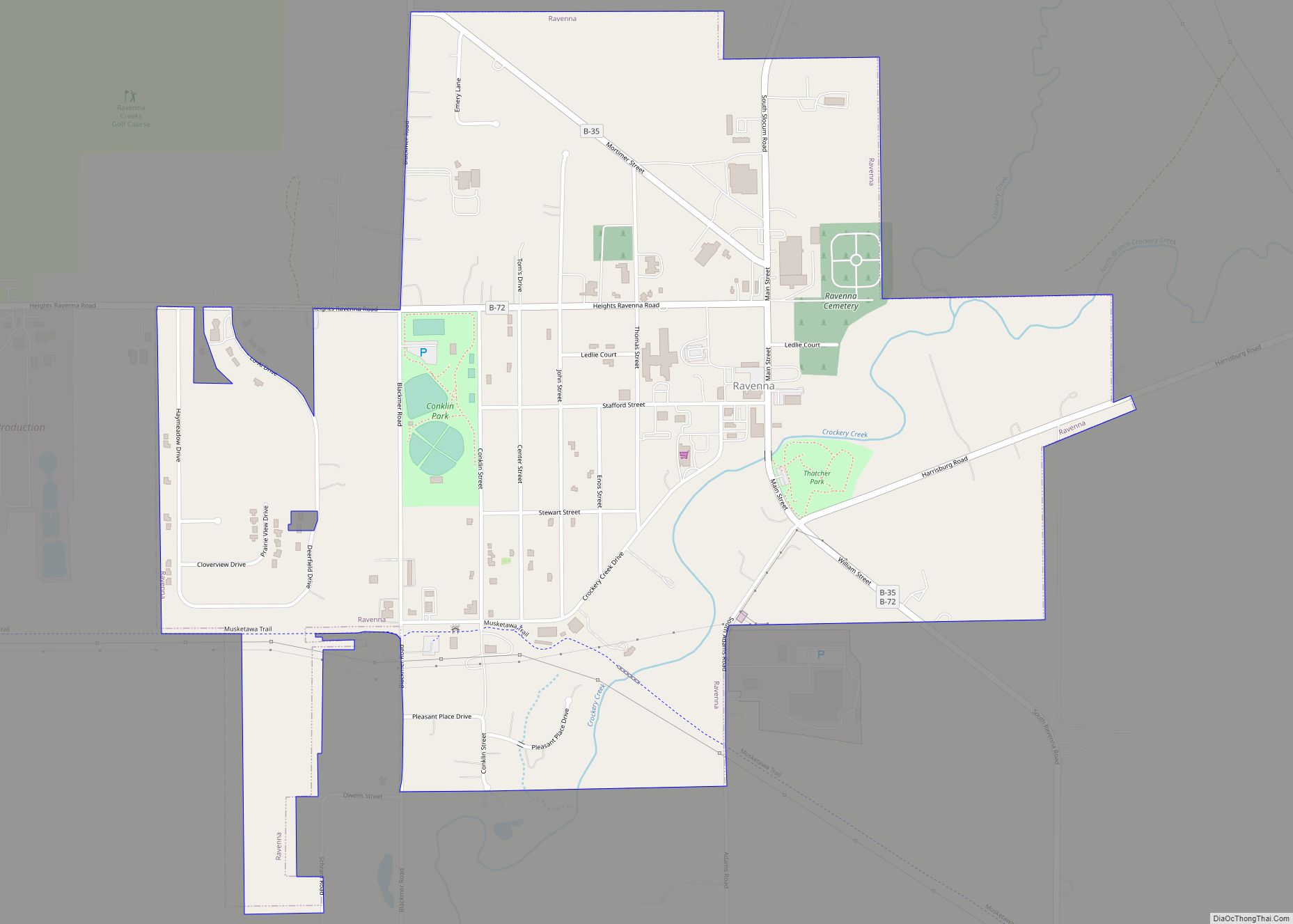
Online Interactive Map
Click on ![]() to view map in "full screen" mode.
to view map in "full screen" mode.
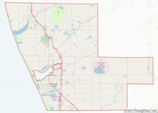
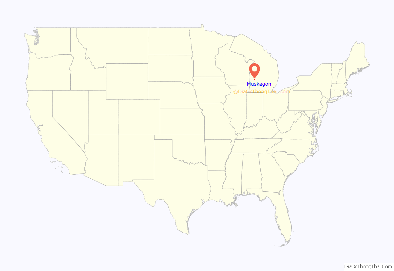
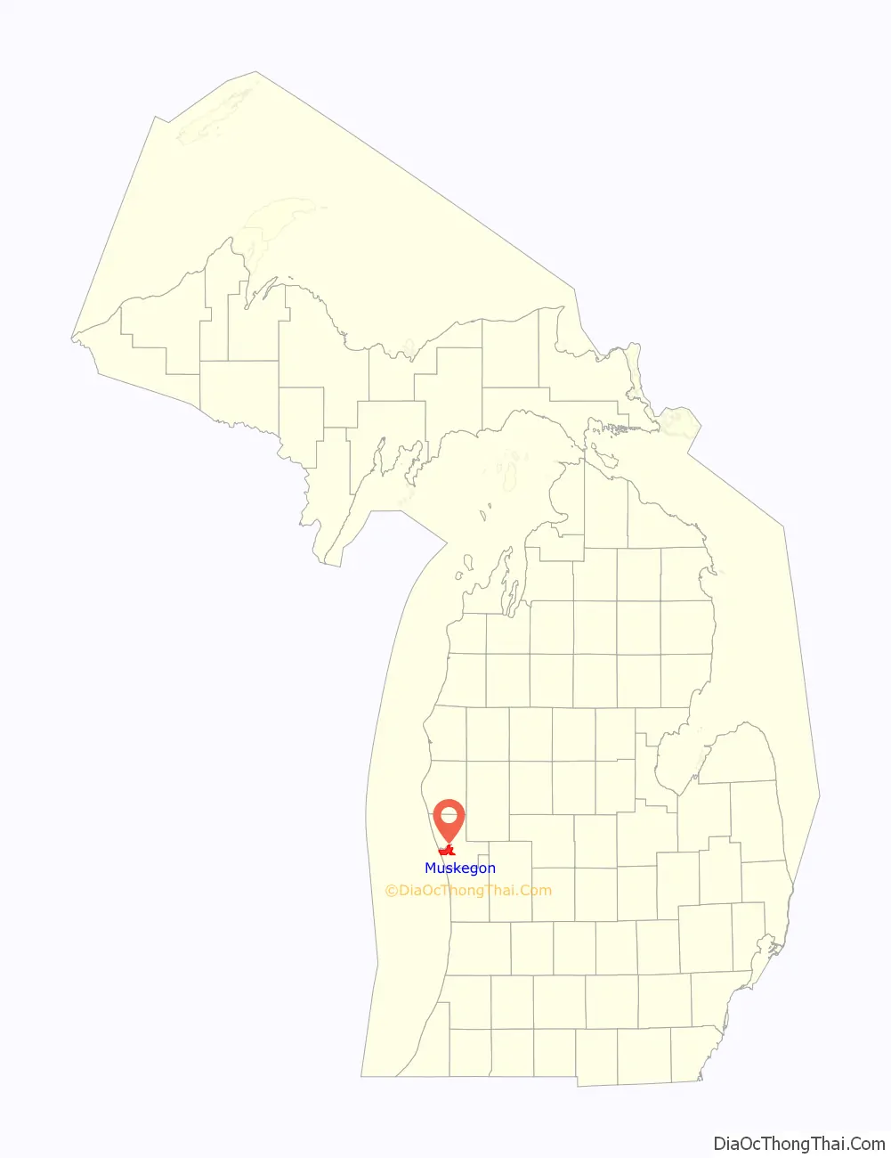
Muskegon location map. Where is Muskegon city?
History
Early inhabitants
Human occupation of the Muskegon area goes back 7 to 8,000 years to the nomadic Paleo-Indian hunters who occupied the area following the retreat of the Wisconsonian glaciations. The paleo-Indians were superseded by several stages of Woodland Indian developments, the most notable were of the Hopewellian-type tradition, who occupied this area perhaps 2,000 years ago.
The Muskegon area was previously inhabited by various bands of the Odawa (Ottawa) and Pottawatomi Indian tribes, but by 1830, the area was solely an Ottawa village. Perhaps the best-remembered of the area’s native inhabitants was the Ottawa chief, Pendalouan. A leading participant in the French-inspired annihilation of the Fox Indians of Illinois in the 1730s, Pendalouan and his people lived in the Muskegon vicinity during the 1730s and ’40s, until the French forced them to move their settlement to the Traverse Bay area in 1742.
The name “Muskegon” is derived from the Ottawa tribe term mashkiigong, meaning “marshy river or swamp”.
European arrival
The “Masquigon” River (Muskegon River) was identified on French maps dating from the late 17th century, suggesting French explorers had reached Michigan’s western coast by that time. Father Jacques Marquette traveled northward through the area on his fateful trip to St. Ignace in 1675, and a party of French soldiers under La Salle’s lieutenant, Henry de Tonty, passed through the area in 1679.
The county’s earliest known Euro-American resident was Edward Fitzgerald, a fur trader and trapper who came to the Muskegon area in 1748 and who died there, reportedly being buried in the vicinity of White Lake. Between 1790 and 1800, a French-Canadian trader named Joseph La Framboise established a fur-trading post at the mouth of Duck Lake. Between 1810 and 1820, several French-Canadian fur traders, including Lamar Andie, Jean Baptiste Recollect, and Pierre Constant, had established fur-trading posts around Muskegon Lake.
Euro-American settlement of Muskegon began in earnest in 1837, which coincided with the beginning of the exploitation of the area’s extensive timber resources. The commencement of the lumber industry in 1837 inaugurated what some regard as the most romantic era in the history of the region. Lumbering in the mid-19th century brought many settlers, particularly from Germany, Ireland, and Canada.
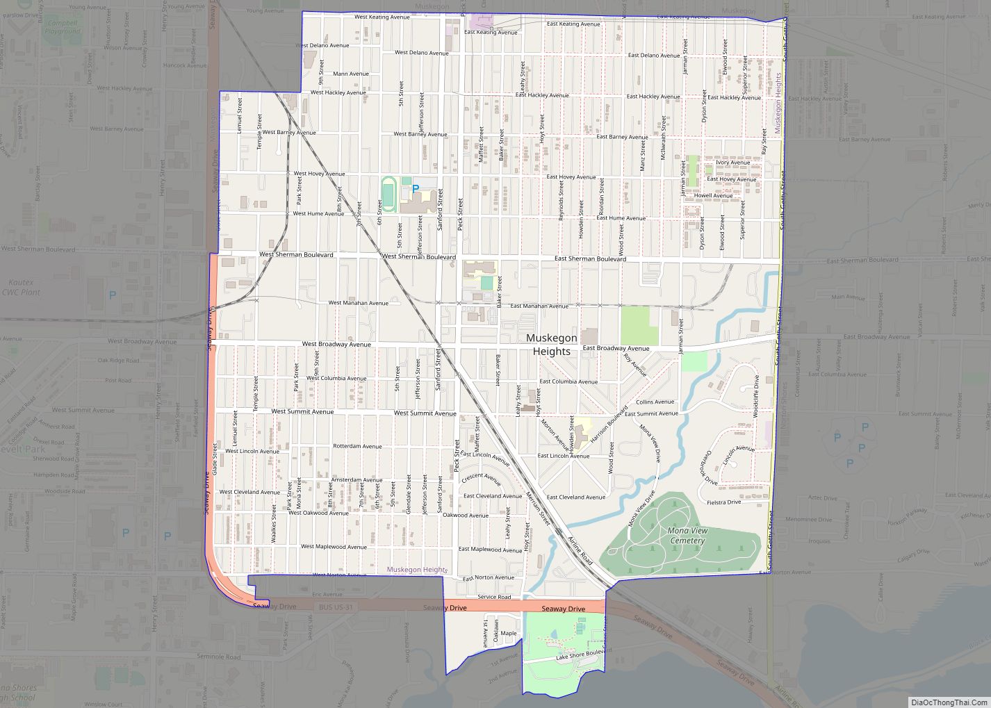
Some Muskegon neighborhoods began as separate villages. Bluffton was founded as a lumbering village in 1862 in Laketon Township. It had its own post office from 1868 until 1892. Muskegon annexed it in 1889.
Muskegon Road Map
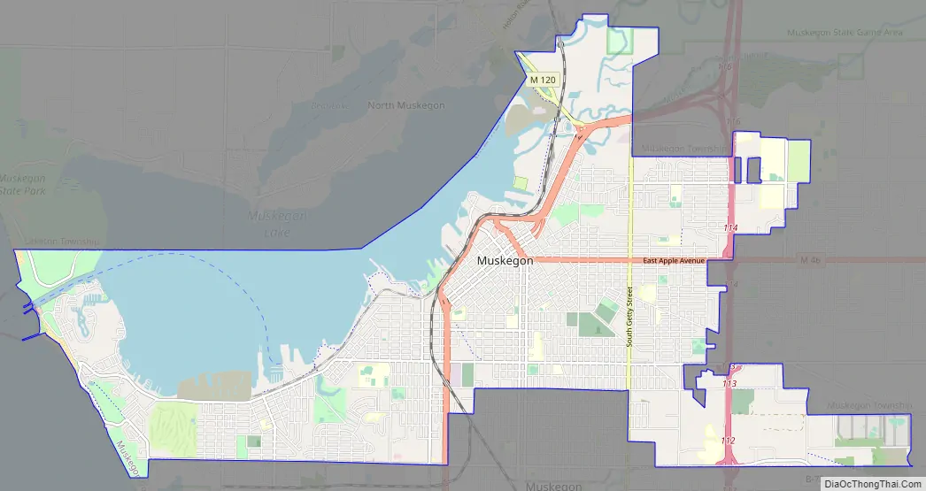
Muskegon city Satellite Map
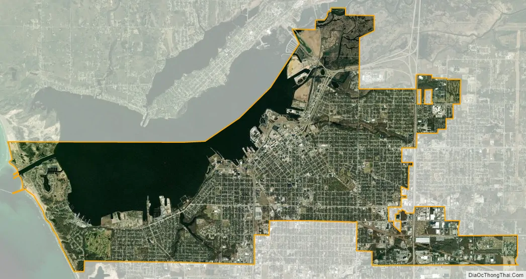
Geography
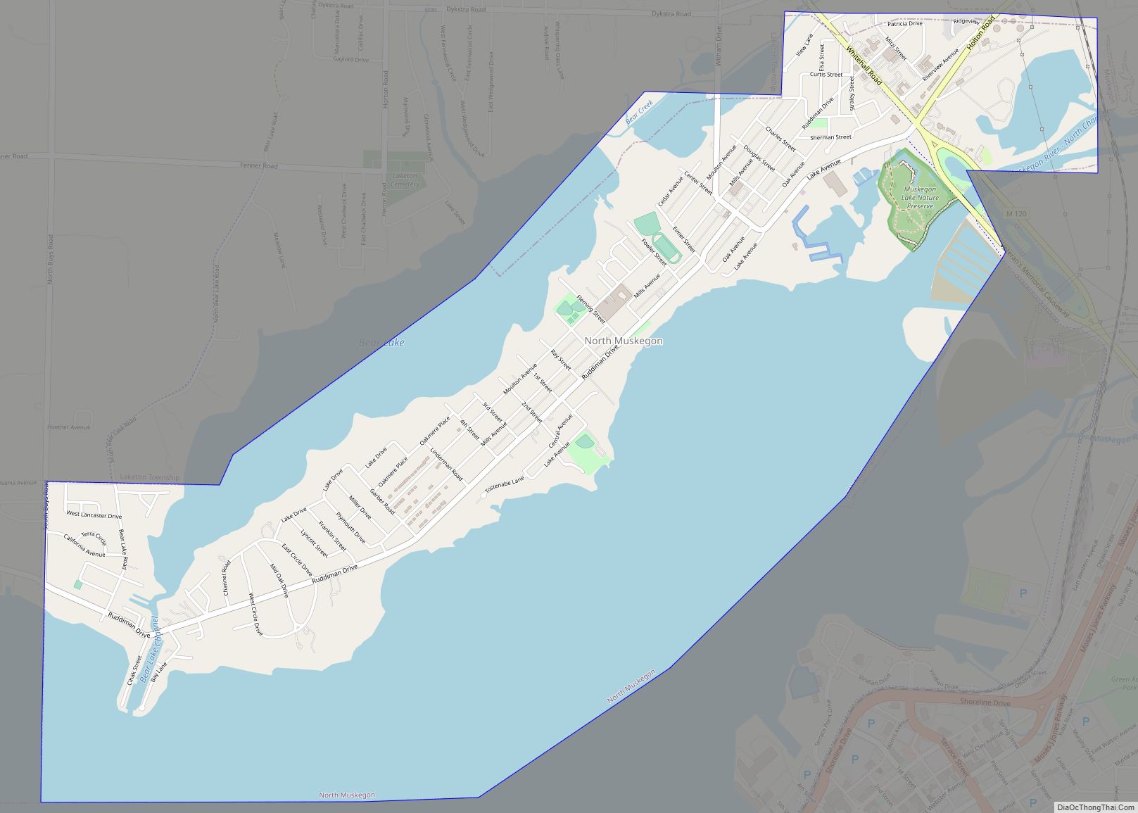
According to the United States Census Bureau, the city has an area of 18.12 square miles (46.93 km), of which 3.91 square miles (10.13 km) are covered by water. The city is next to Lake Michigan to the west and Muskegon Lake to the north. The Muskegon River empties into Muskegon Lake at the city’s northeast end.
Climate
Muskegon has a humid continental climate (Dfa) with hot summers and cold winters. Precipitation is consistent year-round. Muskegon receives heavy lake-effect snow from Lake Michigan during winter.
See also
Map of Michigan State and its subdivision:- Alcona
- Alger
- Allegan
- Alpena
- Antrim
- Arenac
- Baraga
- Barry
- Bay
- Benzie
- Berrien
- Branch
- Calhoun
- Cass
- Charlevoix
- Cheboygan
- Chippewa
- Clare
- Clinton
- Crawford
- Delta
- Dickinson
- Eaton
- Emmet
- Genesee
- Gladwin
- Gogebic
- Grand Traverse
- Gratiot
- Hillsdale
- Houghton
- Huron
- Ingham
- Ionia
- Iosco
- Iron
- Isabella
- Jackson
- Kalamazoo
- Kalkaska
- Kent
- Keweenaw
- Lake
- Lake Hurron
- Lake Michigan
- Lake St. Clair
- Lake Superior
- Lapeer
- Leelanau
- Lenawee
- Livingston
- Luce
- Mackinac
- Macomb
- Manistee
- Marquette
- Mason
- Mecosta
- Menominee
- Midland
- Missaukee
- Monroe
- Montcalm
- Montmorency
- Muskegon
- Newaygo
- Oakland
- Oceana
- Ogemaw
- Ontonagon
- Osceola
- Oscoda
- Otsego
- Ottawa
- Presque Isle
- Roscommon
- Saginaw
- Saint Clair
- Saint Joseph
- Sanilac
- Schoolcraft
- Shiawassee
- Tuscola
- Van Buren
- Washtenaw
- Wayne
- Wexford
- Alabama
- Alaska
- Arizona
- Arkansas
- California
- Colorado
- Connecticut
- Delaware
- District of Columbia
- Florida
- Georgia
- Hawaii
- Idaho
- Illinois
- Indiana
- Iowa
- Kansas
- Kentucky
- Louisiana
- Maine
- Maryland
- Massachusetts
- Michigan
- Minnesota
- Mississippi
- Missouri
- Montana
- Nebraska
- Nevada
- New Hampshire
- New Jersey
- New Mexico
- New York
- North Carolina
- North Dakota
- Ohio
- Oklahoma
- Oregon
- Pennsylvania
- Rhode Island
- South Carolina
- South Dakota
- Tennessee
- Texas
- Utah
- Vermont
- Virginia
- Washington
- West Virginia
- Wisconsin
- Wyoming