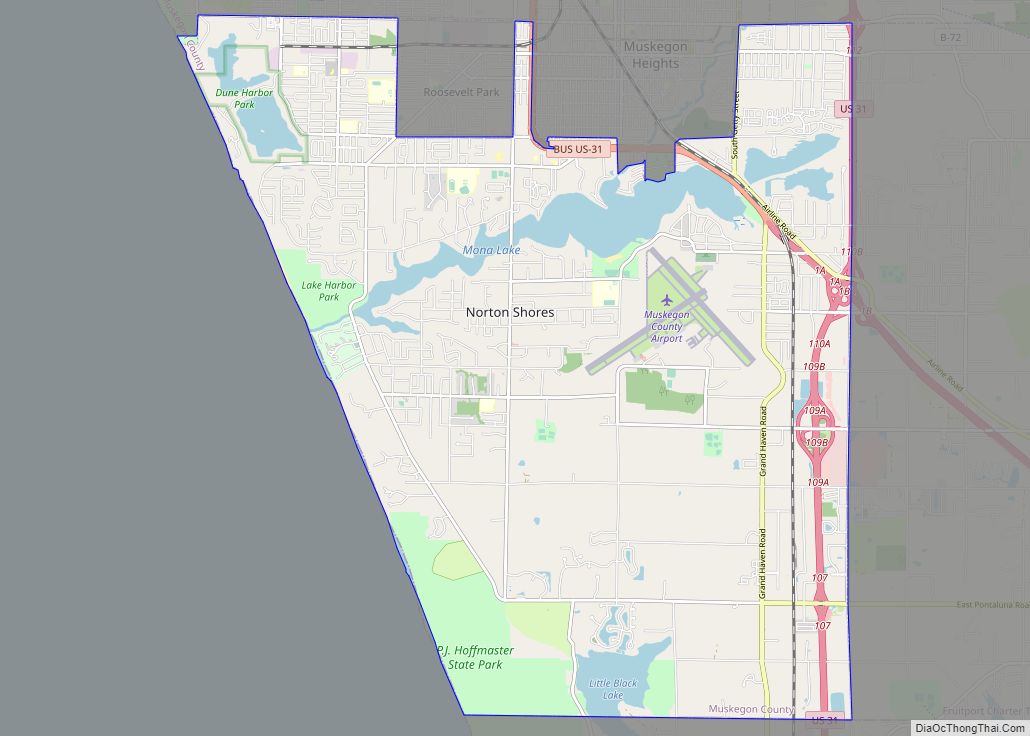
Norton Shores is a city in Muskegon County in the U.S. state of Michigan. The population was 23,994 at the 2010 census.
| Name: | Norton Shores city |
|---|---|
| LSAD Code: | 25 |
| LSAD Description: | city (suffix) |
| State: | Michigan |
| County: | Muskegon County |
| Elevation: | 614 ft (187 m) |
| Total Area: | 24.63 sq mi (63.78 km²) |
| Land Area: | 23.24 sq mi (60.20 km²) |
| Water Area: | 1.38 sq mi (3.58 km²) |
| Total Population: | 25,030 |
| Population Density: | 1,076.88/sq mi (415.78/km²) |
| ZIP code: | 49441 |
| Area code: | 231 |
| FIPS code: | 2659140 |
| GNISfeature ID: | 0633743 |
| Website: | http://www.nortonshores.org |
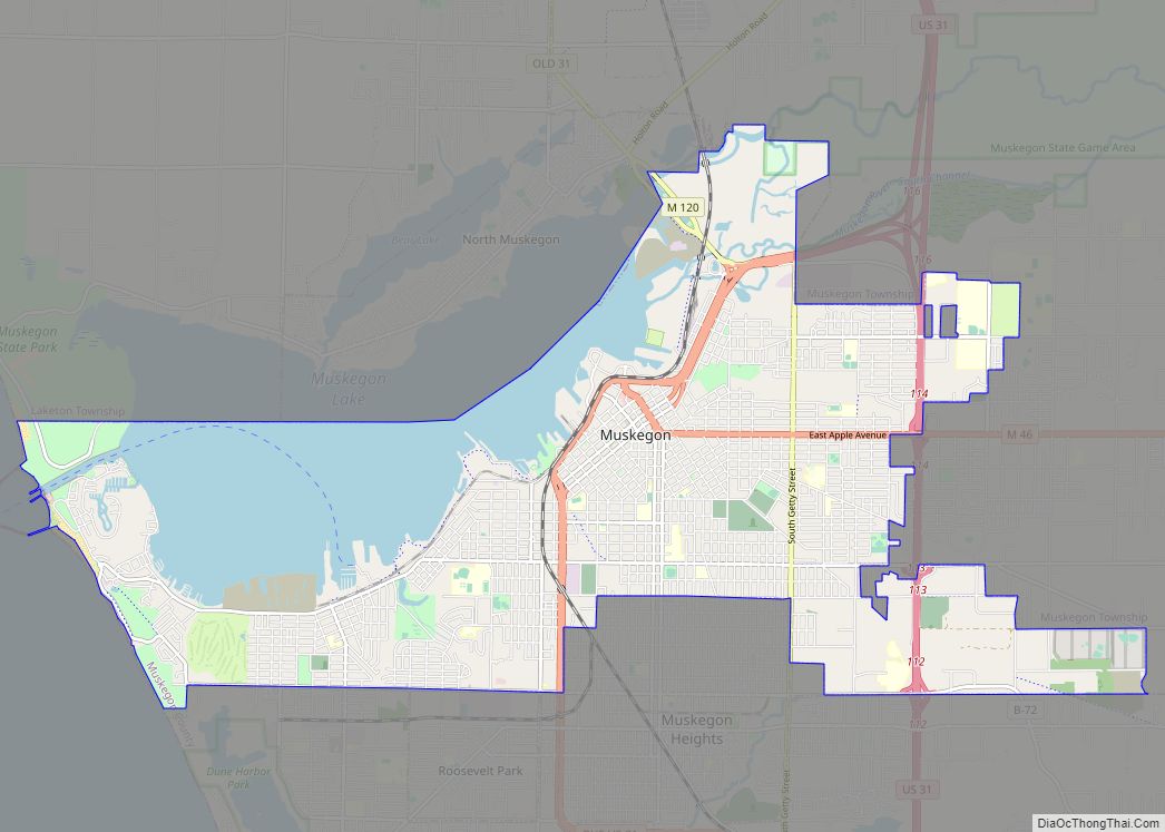
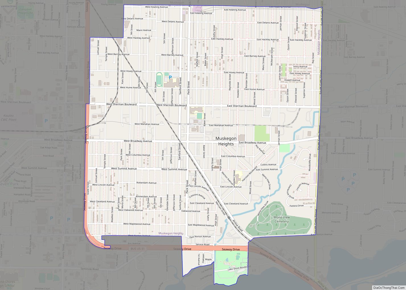
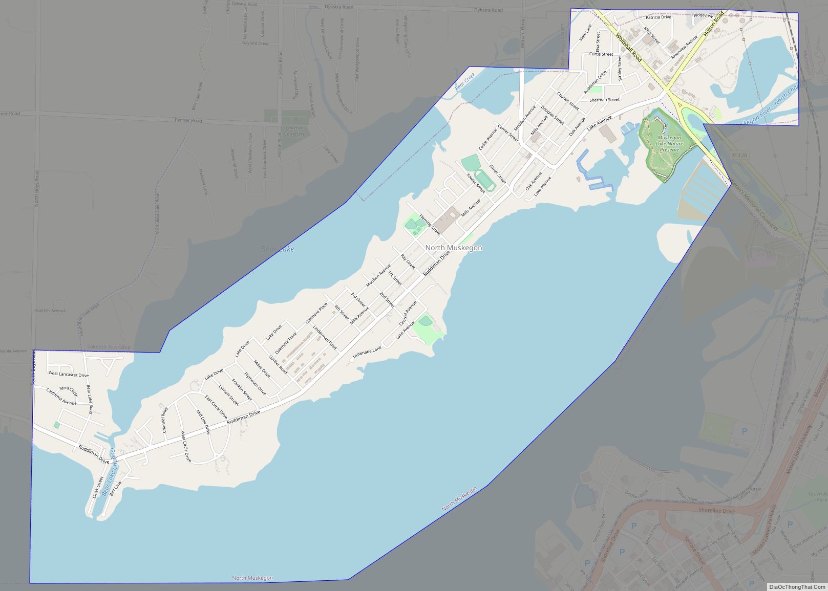
Online Interactive Map
Click on ![]() to view map in "full screen" mode.
to view map in "full screen" mode.
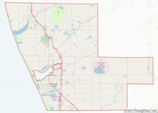
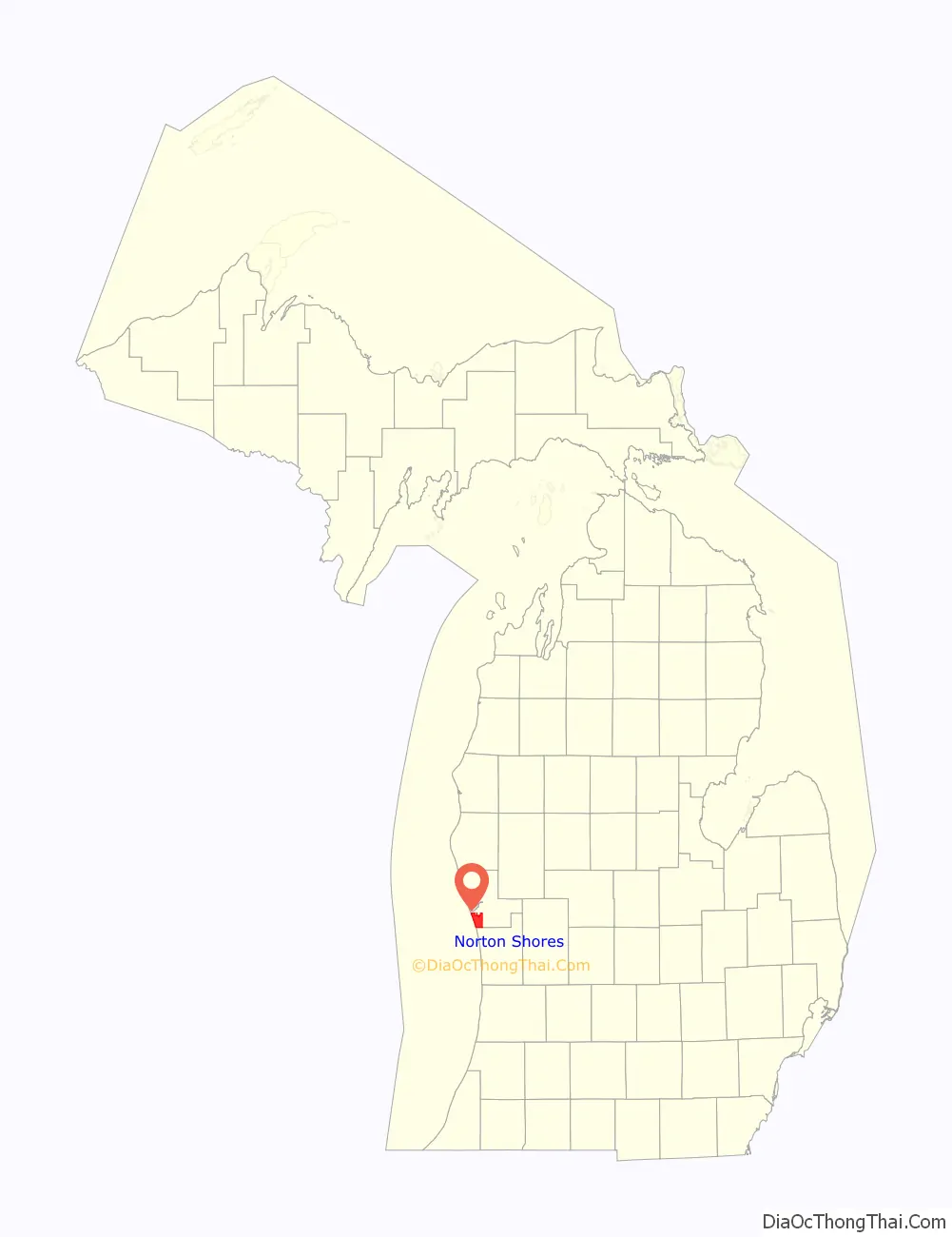
Norton Shores location map. Where is Norton Shores city?

History
The Ojibwe, Bodewadmi and Odawa Native Americans for hundreds of years occupied the wilds of Western Michigan. When European immigrants arrived they found openings in the forest made by the Native Americans, which were used to raise food.
Norton Township was originally organized in 1845 by settlers of the village of Mill Point (now Spring Lake). The township was named in honor of Col. Amos Norton, a Canadian patriot who was implicated in the rebellion of 1837.
Norton Township was part of Ottawa County and also included the Townships of Fruitport and Sullivan. In 1855 Spring Lake Township was detached from Norton and organized as a township in Ottawa County. Also in 1855 the village of Black Lake was settled with a railroad station and a sawmill in Norton Township. Norton Township was separated from Ottawa County in 1859 and became a part of Muskegon County. The population of Norton Township in 1860 was 197 and in 1864 was 229.
In 1847 the first sawmill in Norton Township was built. It was known as Robinson’s Mill and was located at the head of Black Lake (now known as Mona Lake).
In 1850, Ira Porter arrived at Mona Lake. He operated Porter Sawmill and a fruit farm. One of the largest fruit farms in Norton Township was operated by G. N. Cobb who also operated a box factory for fifteen years beginning in 1869. With the closing of the sawmills and the box factory, residents turned to raising fruit which became a very profitable industry. Boats would enter Lake Harbor and make a trip around the lake picking up crates of berries at the docks of the growers. They would then return to Lake Michigan with their cargo and transfer it to large steamers bound for Chicago.
In 1894 a summer resort community called Hackley Park was established on Lake Michigan and Mona Lake. It was named for Charles Hackley. The name was shortened to Hackley when it got a post office in 1895, although the post office closed in 1897.
Thanks to the Norton Township Volunteer Fire Department and the cooperation of the Norton Township Board, action was taken to incorporate Norton Township into a Home Rule City. An election to determine if Norton Township should be incorporated into a Home Rule City passed by a two to one margin and nine charter commissioners were elected to draw up the first City Charter which was adopted on April 16, 1968.
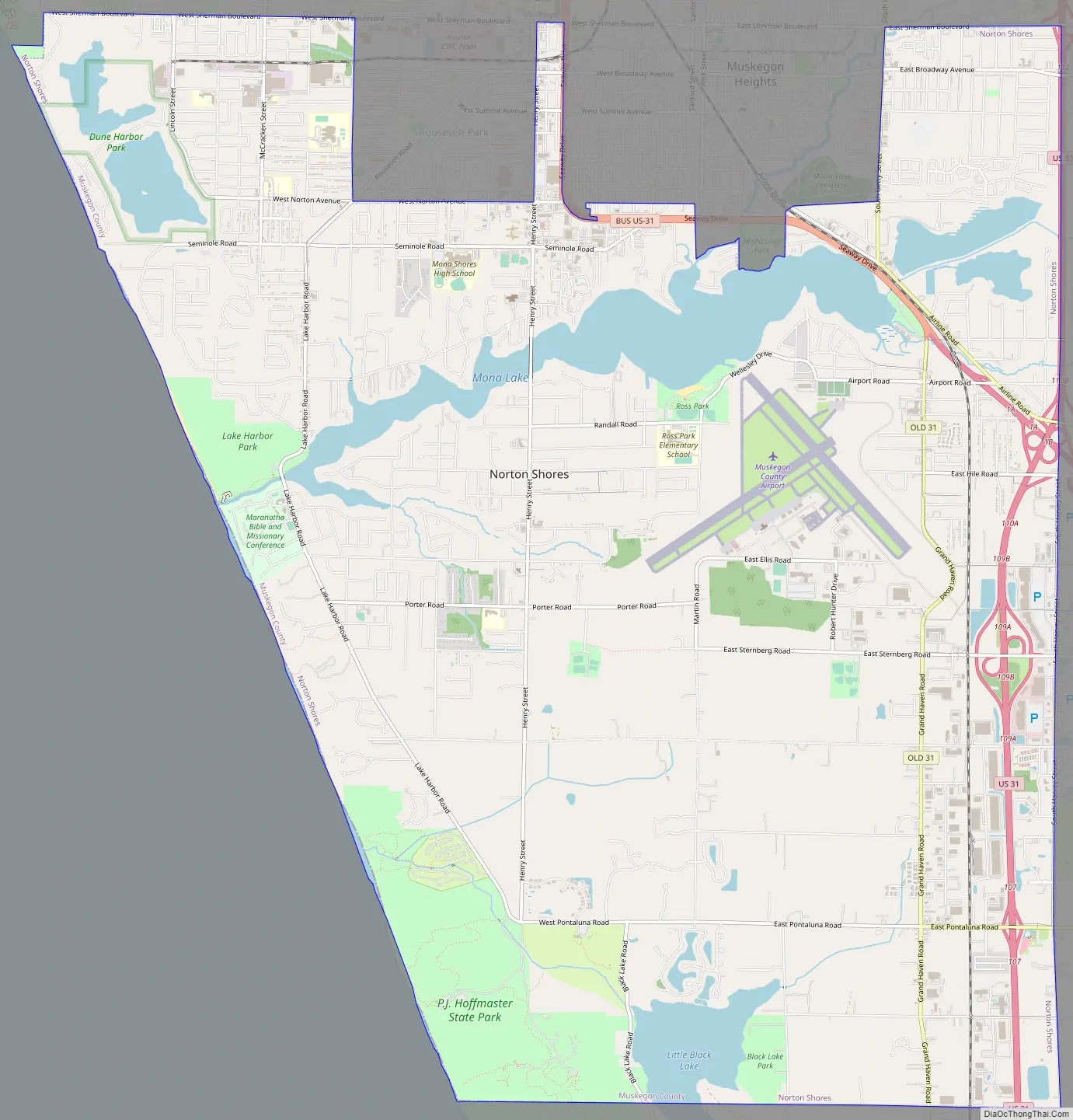
Norton Shores Road Map
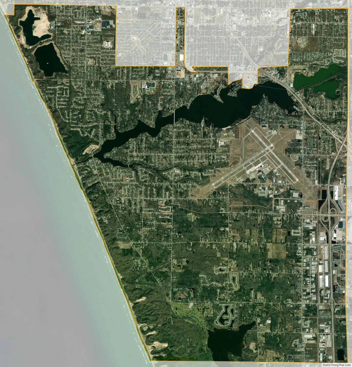
Norton Shores city Satellite Map
Geography
According to the United States Census Bureau, the city has a total area of 24.62 square miles (63.77 km), of which 23.24 square miles (60.19 km) is land and 1.38 square miles (3.57 km) is water.
See also
Map of Michigan State and its subdivision:- Alcona
- Alger
- Allegan
- Alpena
- Antrim
- Arenac
- Baraga
- Barry
- Bay
- Benzie
- Berrien
- Branch
- Calhoun
- Cass
- Charlevoix
- Cheboygan
- Chippewa
- Clare
- Clinton
- Crawford
- Delta
- Dickinson
- Eaton
- Emmet
- Genesee
- Gladwin
- Gogebic
- Grand Traverse
- Gratiot
- Hillsdale
- Houghton
- Huron
- Ingham
- Ionia
- Iosco
- Iron
- Isabella
- Jackson
- Kalamazoo
- Kalkaska
- Kent
- Keweenaw
- Lake
- Lake Hurron
- Lake Michigan
- Lake St. Clair
- Lake Superior
- Lapeer
- Leelanau
- Lenawee
- Livingston
- Luce
- Mackinac
- Macomb
- Manistee
- Marquette
- Mason
- Mecosta
- Menominee
- Midland
- Missaukee
- Monroe
- Montcalm
- Montmorency
- Muskegon
- Newaygo
- Oakland
- Oceana
- Ogemaw
- Ontonagon
- Osceola
- Oscoda
- Otsego
- Ottawa
- Presque Isle
- Roscommon
- Saginaw
- Saint Clair
- Saint Joseph
- Sanilac
- Schoolcraft
- Shiawassee
- Tuscola
- Van Buren
- Washtenaw
- Wayne
- Wexford
- Alabama
- Alaska
- Arizona
- Arkansas
- California
- Colorado
- Connecticut
- Delaware
- District of Columbia
- Florida
- Georgia
- Hawaii
- Idaho
- Illinois
- Indiana
- Iowa
- Kansas
- Kentucky
- Louisiana
- Maine
- Maryland
- Massachusetts
- Michigan
- Minnesota
- Mississippi
- Missouri
- Montana
- Nebraska
- Nevada
- New Hampshire
- New Jersey
- New Mexico
- New York
- North Carolina
- North Dakota
- Ohio
- Oklahoma
- Oregon
- Pennsylvania
- Rhode Island
- South Carolina
- South Dakota
- Tennessee
- Texas
- Utah
- Vermont
- Virginia
- Washington
- West Virginia
- Wisconsin
- Wyoming