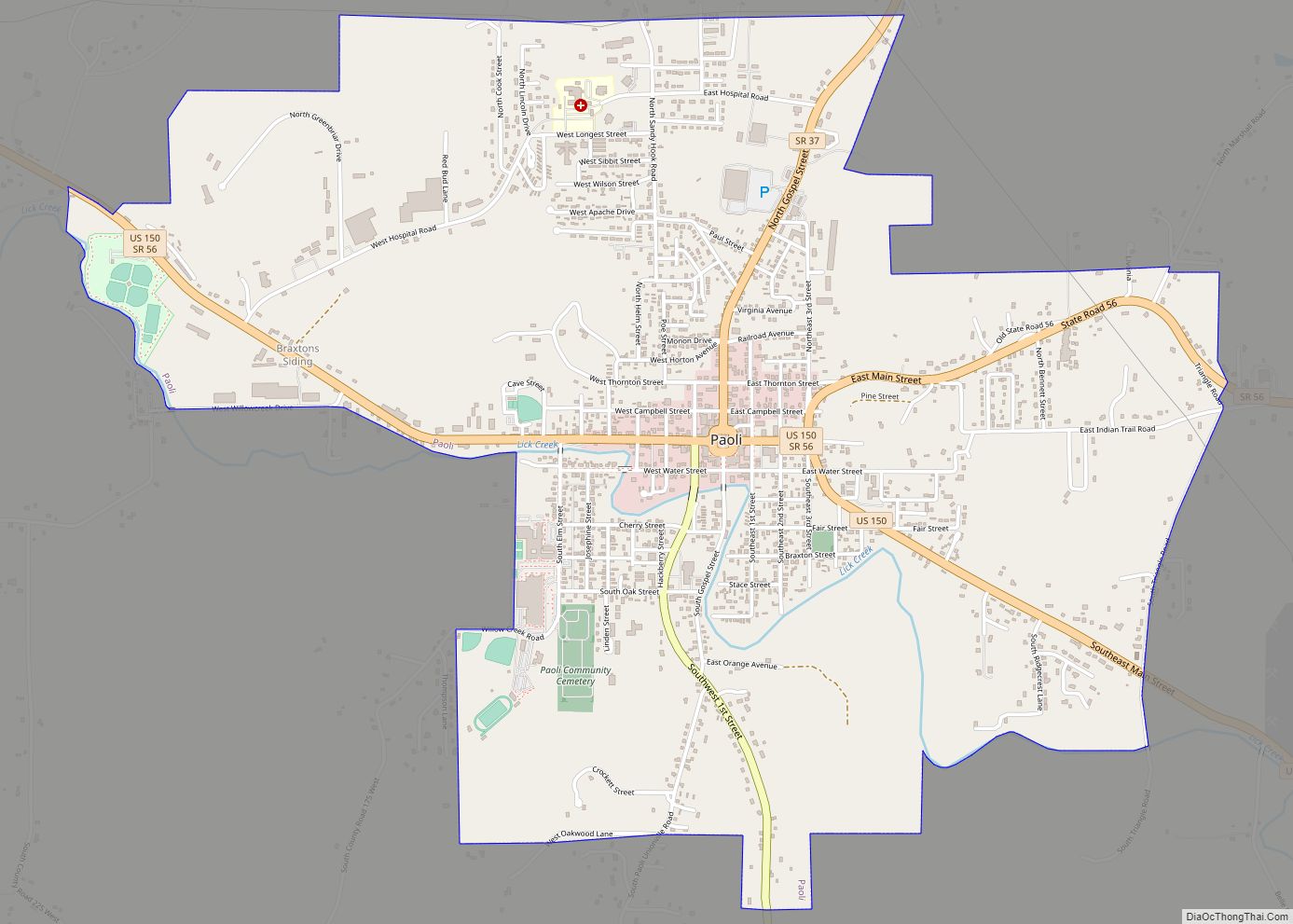
Paoli (/peɪˈoʊli/ pay-OH-lee) is a town within Paoli Township and the county seat of Orange County, in the U.S. state of Indiana. The population was 3,677 at the 2010 census.
| Name: | Paoli town |
|---|---|
| LSAD Code: | 43 |
| LSAD Description: | town (suffix) |
| State: | Indiana |
| County: | Orange County |
| Elevation: | 617 ft (188 m) |
| Total Area: | 3.75 sq mi (9.72 km²) |
| Land Area: | 3.74 sq mi (9.68 km²) |
| Water Area: | 0.01 sq mi (0.04 km²) |
| Total Population: | 3,666 |
| Population Density: | 980.48/sq mi (378.54/km²) |
| ZIP code: | 47454 |
| Area code: | 812, 930 |
| FIPS code: | 1857780 |
| GNISfeature ID: | 2396846 |
Online Interactive Map
Click on ![]() to view map in "full screen" mode.
to view map in "full screen" mode.
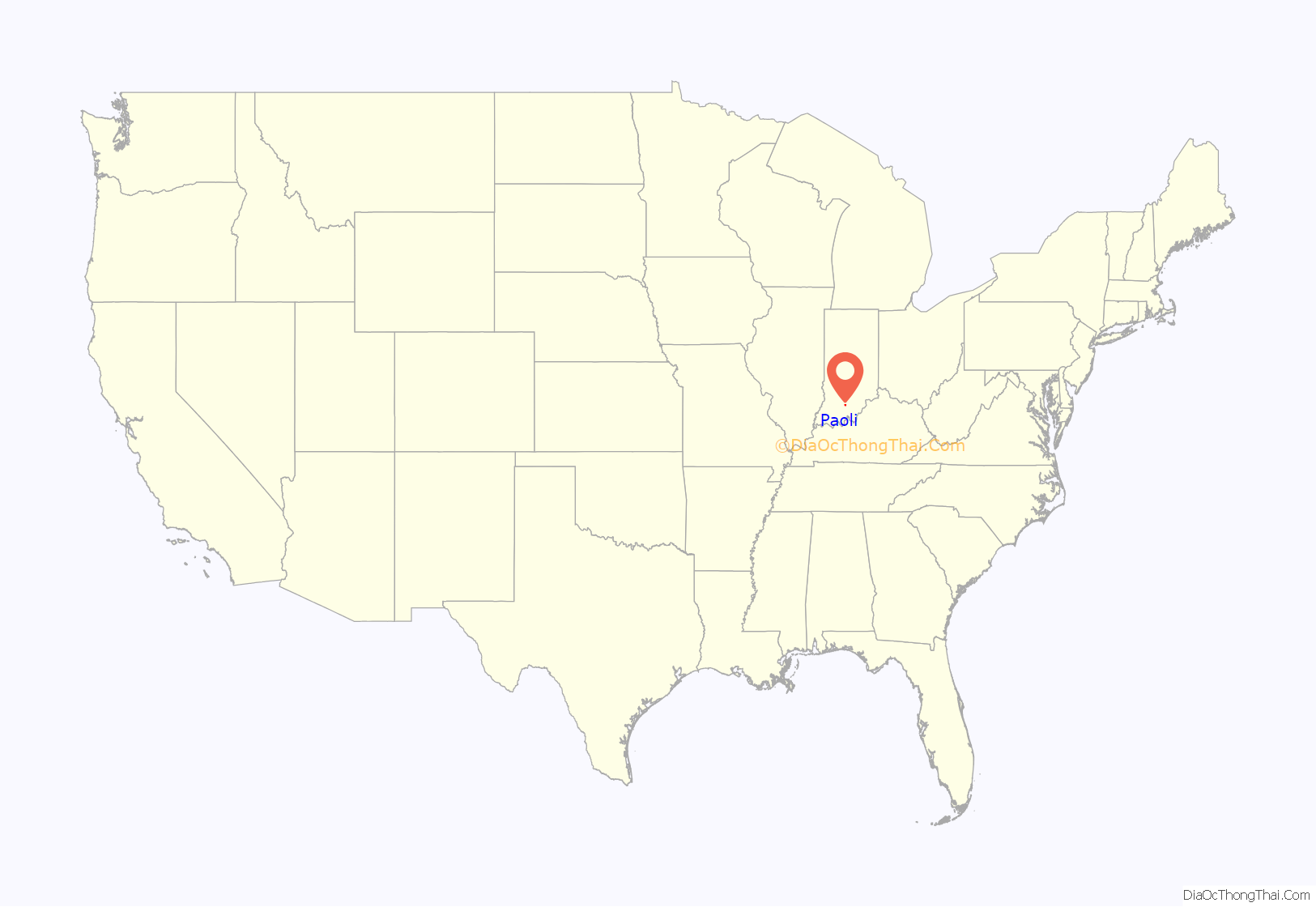
Paoli location map. Where is Paoli town?
History
Paoli was laid out and platted in 1816. It was named for Pasquale Paoli Ash, the son of North Carolina governor Samuel Ashe. A post office has been in operation at Paoli since 1817.
In its first decades, it was noted as a Quaker town that played a role in the Underground Railroad by transporting enslaved people from the South to Canada. In the 1900s it became known as the site of the Pioneer Mothers Memorial Forest, a surviving fragment of the once-extensive virgin oak forest of southern Indiana.
Thomas Newby Braxtan House, Orange County Courthouse, and Paoli Historic District are listed on the National Register of Historic Places.
Paoli Road Map
Paoli city Satellite Map
Geography
According to the 2010 census, Paoli has a total area of 3.75 square miles (9.71 km), of which 3.74 square miles (9.69 km) (or 99.73%) is land and 0.01 square miles (0.03 km) (or 0.27%) is water.
Climate
The climate in this area is characterized by hot, humid summers and generally mild to cool winters. According to the Köppen Climate Classification system, Paoli has a humid subtropical climate, abbreviated “Cfa” on climate maps.
See also
Map of Indiana State and its subdivision:- Adams
- Allen
- Bartholomew
- Benton
- Blackford
- Boone
- Brown
- Carroll
- Cass
- Clark
- Clay
- Clinton
- Crawford
- Daviess
- De Kalb
- Dearborn
- Decatur
- Delaware
- Dubois
- Elkhart
- Fayette
- Floyd
- Fountain
- Franklin
- Fulton
- Gibson
- Grant
- Greene
- Hamilton
- Hancock
- Harrison
- Hendricks
- Henry
- Howard
- Huntington
- Jackson
- Jasper
- Jay
- Jefferson
- Jennings
- Johnson
- Knox
- Kosciusko
- LaGrange
- Lake
- Lake Michigan
- LaPorte
- Lawrence
- Madison
- Marion
- Marshall
- Martin
- Miami
- Monroe
- Montgomery
- Morgan
- Newton
- Noble
- Ohio
- Orange
- Owen
- Parke
- Perry
- Pike
- Porter
- Posey
- Pulaski
- Putnam
- Randolph
- Ripley
- Rush
- Saint Joseph
- Scott
- Shelby
- Spencer
- Starke
- Steuben
- Sullivan
- Switzerland
- Tippecanoe
- Tipton
- Union
- Vanderburgh
- Vermillion
- Vigo
- Wabash
- Warren
- Warrick
- Washington
- Wayne
- Wells
- White
- Whitley
- Alabama
- Alaska
- Arizona
- Arkansas
- California
- Colorado
- Connecticut
- Delaware
- District of Columbia
- Florida
- Georgia
- Hawaii
- Idaho
- Illinois
- Indiana
- Iowa
- Kansas
- Kentucky
- Louisiana
- Maine
- Maryland
- Massachusetts
- Michigan
- Minnesota
- Mississippi
- Missouri
- Montana
- Nebraska
- Nevada
- New Hampshire
- New Jersey
- New Mexico
- New York
- North Carolina
- North Dakota
- Ohio
- Oklahoma
- Oregon
- Pennsylvania
- Rhode Island
- South Carolina
- South Dakota
- Tennessee
- Texas
- Utah
- Vermont
- Virginia
- Washington
- West Virginia
- Wisconsin
- Wyoming
