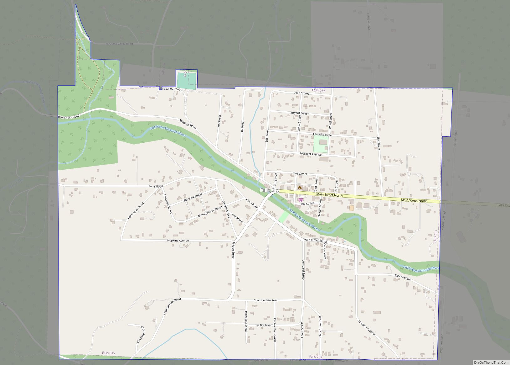
Falls City is a city in Polk County, Oregon, United States. The population was 1,051 at the 2020 census. It is part of the Salem Metropolitan Statistical Area.
| Name: | Falls City city |
|---|---|
| LSAD Code: | 25 |
| LSAD Description: | city (suffix) |
| State: | Oregon |
| County: | Polk County |
| Incorporated: | 1893 |
| Elevation: | 370 ft (112.8 m) |
| Total Area: | 1.20 sq mi (3.11 km²) |
| Land Area: | 1.20 sq mi (3.11 km²) |
| Water Area: | 0.00 sq mi (0.00 km²) |
| Total Population: | 1,051 |
| Population Density: | 874.38/sq mi (337.72/km²) |
| ZIP code: | 97344 |
| Area code: | 503 |
| FIPS code: | 4124550 |
| GNISfeature ID: | 1162976 |
| Website: | www.fallscityoregon.gov |
Online Interactive Map
Click on ![]() to view map in "full screen" mode.
to view map in "full screen" mode.
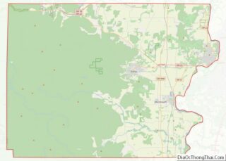
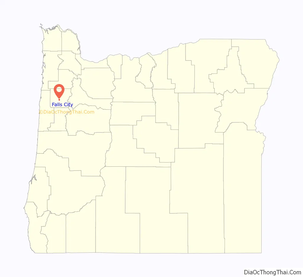
Falls City location map. Where is Falls City city?

History
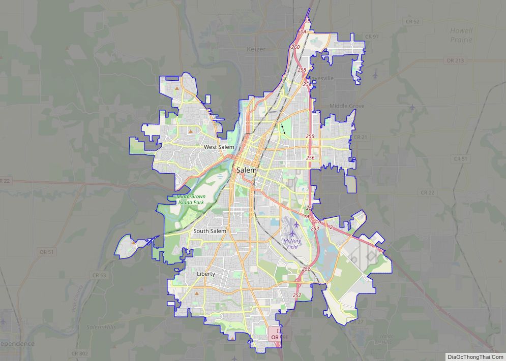
It is part of the Dallas micropolitan statistical area. Falls City is named after a waterfall in the Little Luckiamute River that passes through the center of town. In the past it was a lumbermill town and once had three mills in operation, a bank, hotel, soda shop, jail, and several grocery stores and bars. It formerly supported a large logging population and other population centers in the hills of the Coast Range, such as the smaller lumber-based community of Black Rock and the company-owned mill town Valsetz.
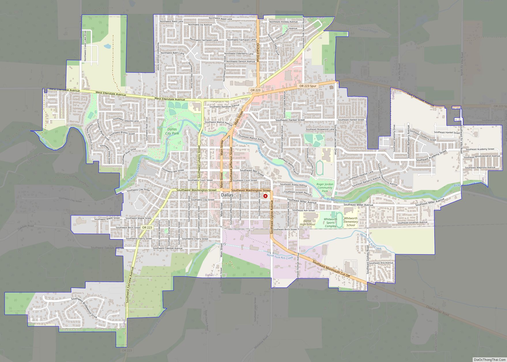
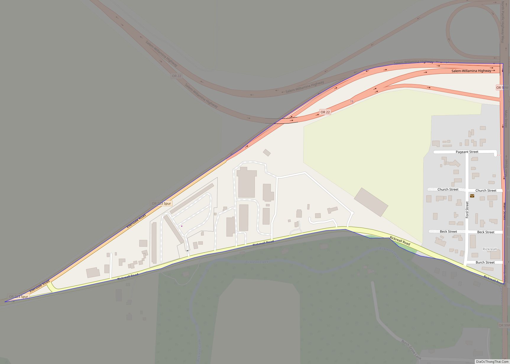
Falls City Road Map

Falls City city Satellite Map

Geography
According to the United States Census Bureau, the city has a total area of 1.20 square miles (3.11 km), all of it land.
See also
Map of Oregon State and its subdivision: Map of other states:- Alabama
- Alaska
- Arizona
- Arkansas
- California
- Colorado
- Connecticut
- Delaware
- District of Columbia
- Florida
- Georgia
- Hawaii
- Idaho
- Illinois
- Indiana
- Iowa
- Kansas
- Kentucky
- Louisiana
- Maine
- Maryland
- Massachusetts
- Michigan
- Minnesota
- Mississippi
- Missouri
- Montana
- Nebraska
- Nevada
- New Hampshire
- New Jersey
- New Mexico
- New York
- North Carolina
- North Dakota
- Ohio
- Oklahoma
- Oregon
- Pennsylvania
- Rhode Island
- South Carolina
- South Dakota
- Tennessee
- Texas
- Utah
- Vermont
- Virginia
- Washington
- West Virginia
- Wisconsin
- Wyoming