Dallas is a city and the county seat of Polk County, Oregon, United States. The population was 16,854 at the 2020 census.
Dallas is along Rickreall Creek, about 15 miles (24 km) west of Salem, at an elevation of 325 feet (99 m) above sea level. It is part of the Salem Metropolitan Statistical Area.
| Name: | Dallas city |
|---|---|
| LSAD Code: | 25 |
| LSAD Description: | city (suffix) |
| State: | Oregon |
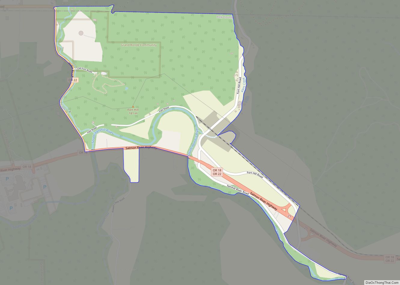
| County: | Polk County |
| Incorporated: | 1874 |
| Elevation: | 325 ft (99.1 m) |
| Total Area: | 4.91 sq mi (12.71 km²) |
| Land Area: | 4.91 sq mi (12.71 km²) |
| Water Area: | 0.00 sq mi (0.00 km²) |
| Total Population: | 16,854 |
| Population Density: | 3,435.39/sq mi (1,326.42/km²) |
| ZIP code: | 97338 |
| Area code: | 503 and 971 |
| FIPS code: | 4117700 |
| GNISfeature ID: | 1162930 |
| Website: | www.dallasor.gov |
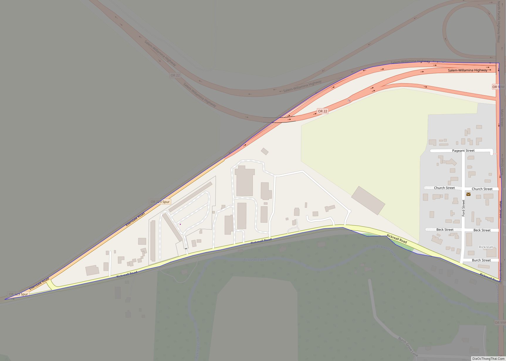
Online Interactive Map
Click on ![]() to view map in "full screen" mode.
to view map in "full screen" mode.
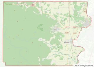
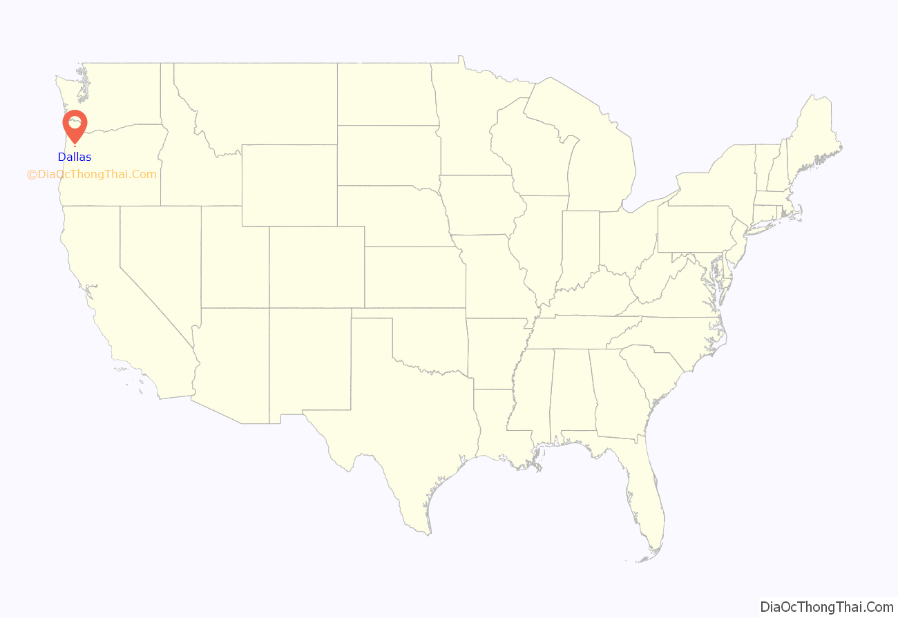
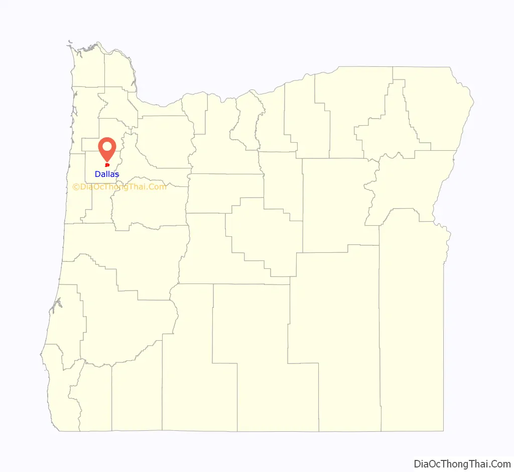
Dallas location map. Where is Dallas city?
History
Pioneers in the 1840s started the settlement that became known as Dallas on the north side of Rickreall Creek. It was originally named “Cynthian” or “Cynthiana”. A 1947 Itemizer-Observer article states: “[T]he town was called Cynthiana after Cynthiana, Ky., so named by Mrs. Thos. Lovelady.” According to the county historical society in 1987, Mrs. Thomas J. Lovelady named the new settlement after her home town of Cynthiana, Kentucky.
Another source claims that Cynthia Ann, wife of early pioneer Jesse Applegate, named the settlement. But they lived in the Salt Creek area of northern Polk County and, according to the 1850 Federal Census, she was not living in Polk County then.
Dallas post office was established in 1852. In 1856, the town was moved more than a mile south because of an inadequate supply of water.
Cynthiana competed with Independence to be selected as the county seat. Its residents raised $17,000 in order to have a branch of the narrow gauge railroad constructed to their town, which secured them the honor and related economic stimulus. The line was built from 1878–80. Town leaders believed a more sturdy sounding name was needed for a county seat. Since George Mifflin Dallas was vice-president under James K. Polk, for whom the county was named, they named it “Dallas”.
Dallas was incorporated as a town in 1874 and as a city in 1901.
Gerlinger family
After Louis Gerlinger, Sr. incorporated the Salem, Falls City and Western Railway Company late in October 1901, he announced plans to build a railroad from the Willamette River at Salem to the mouth of the Siletz River on the Oregon Coast, a distance of 65 miles (105 km).
In 1902, Louis’s son George T. Gerlinger organized a group of investors to build related railroad lines in the area. On May 29, 1903, the first train ran from Dallas to Falls City. At the end of June, passenger trains began regularly scheduled, daily trips to and from Dallas and Falls City; the 9-mile (14 km), 40-minute, one-way trip cost 35 cents.
Willamette Industries was founded in Dallas in 1906. At that time the company name was Willamette Valley Lumber Company. Louis Gerlinger, Sr. was president of the new company and H. L. Pittock, vice president. George T. Gerlinger served as secretary and manager, and F. W. Leadbetter was treasurer. George Cone served as director and mill superintendent. In 1967, Willamette Valley Lumber and several others merged to become Willamette Industries.
In the early 21st century, this and other local businesses were taken over by others from outside, which eventually affected the local economy. In March 2002, Willamette Industries was officially acquired by Weyerhaeuser Company in a hostile takeover. In early 2009, Weyerhaeuser’s Mill formally closed the Dallas operation. Similarly, Gerlinger Carrier Company in Dallas was taken over by Towmotor.
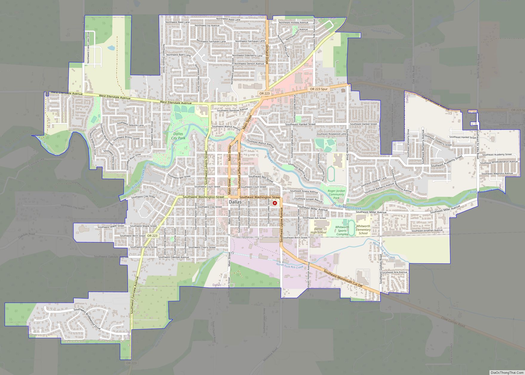
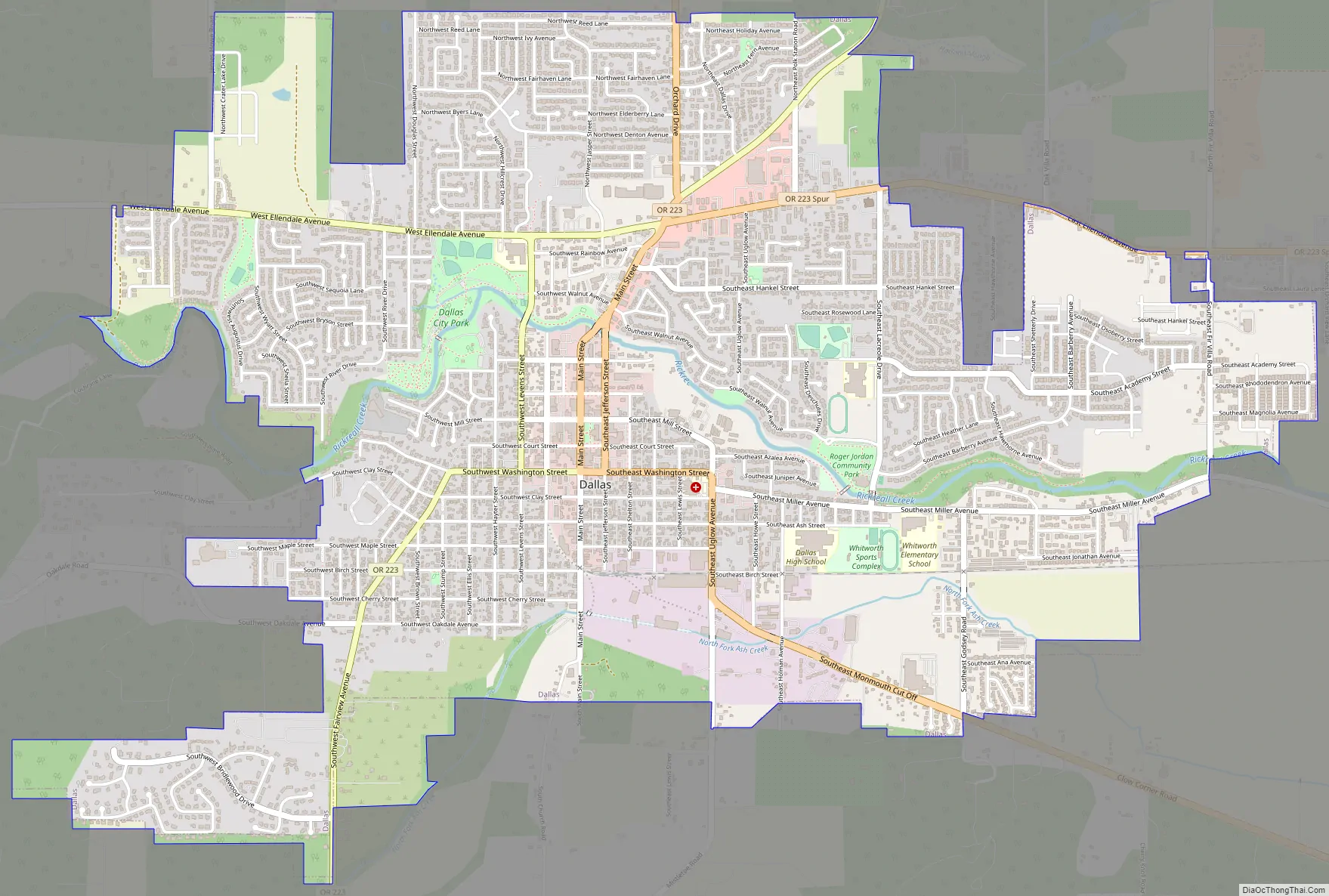
Dallas Road Map
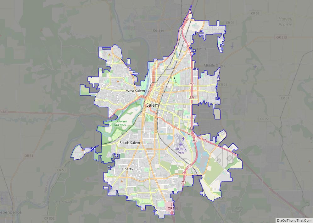
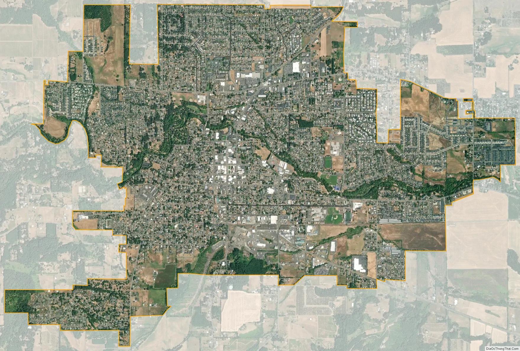
Dallas city Satellite Map
Geography
According to the United States Census Bureau, the city has a total area of 4.81 square miles (12.46 km), all of it land.
Climate
Dallas has a Mediterranean climate (Köppen Csb) with warm to very warm, dry summers with cool mornings, and cold, rainy winters. Occasionally frigid weather will reach the Willamette Valley due to very cold continental air from Canada being driven over the Cascades by a low-pressure system to the south, as occurred repeatedly in January 1950 when temperatures reached as low as −11 °F (−23.9 °C) on January 31, 1950, and 68.0 inches (173 cm) of snow fell. However, snowfall is generally very rare, with an annual mean of 4.9 inches (12 cm) and a median of zero.
Rainfall is generally heavy during the winter months, averaging over 6.50 inches (170 mm) from November to February, when rain falls on around seventeen days in an average month, and on all but one day in November 1983. The wettest month has however been December 1996 with 21.93 inches (557.0 mm) and the wettest “rain year” from July 1973 to June 1974 with 80.01 inches (2,032.3 mm). As with most of Oregon, the driest “rain year” was from July 1976 to June 1977 and saw only 23.78 inches (604.0 mm).
Spring arrives slowly with pleasant afternoon temperatures and less heavy rainfall by April, although showers are common until into June. High summer in July and August is very warm in the afternoon and generally dry, with no rain falling for 79 days, between June 23 – September 9, 1967, which saw the hottest month on record in August 1967 where the mean maximum was 92.1 °F (33.4 °C). Low humidity and pleasant mornings make this season comfortable, although airflows from the hot continent can bring spells of sweltering and arid weather, with 106 °F (41.1 °C) reached on July 19, 1956, and on August 8, 1981. On average, eighteen afternoons will top 90 °F (32.2 °C) but only two can expect to reach 100 °F (37.8 °C), while 62 mornings fall below freezing, but only two spells (in January–February 1950 and December 1972) have ever seen temperatures as low as 0 °F (−17.8 °C).
See also
Map of Oregon State and its subdivision: Map of other states:- Alabama
- Alaska
- Arizona
- Arkansas
- California
- Colorado
- Connecticut
- Delaware
- District of Columbia
- Florida
- Georgia
- Hawaii
- Idaho
- Illinois
- Indiana
- Iowa
- Kansas
- Kentucky
- Louisiana
- Maine
- Maryland
- Massachusetts
- Michigan
- Minnesota
- Mississippi
- Missouri
- Montana
- Nebraska
- Nevada
- New Hampshire
- New Jersey
- New Mexico
- New York
- North Carolina
- North Dakota
- Ohio
- Oklahoma
- Oregon
- Pennsylvania
- Rhode Island
- South Carolina
- South Dakota
- Tennessee
- Texas
- Utah
- Vermont
- Virginia
- Washington
- West Virginia
- Wisconsin
- Wyoming