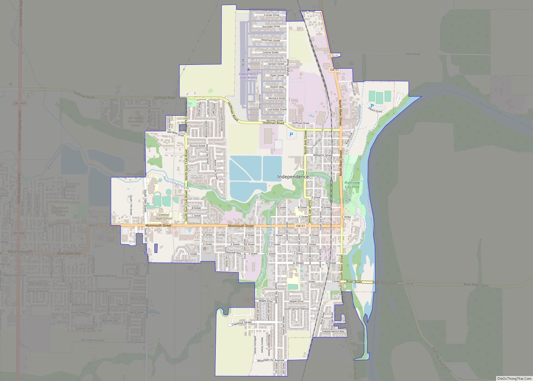
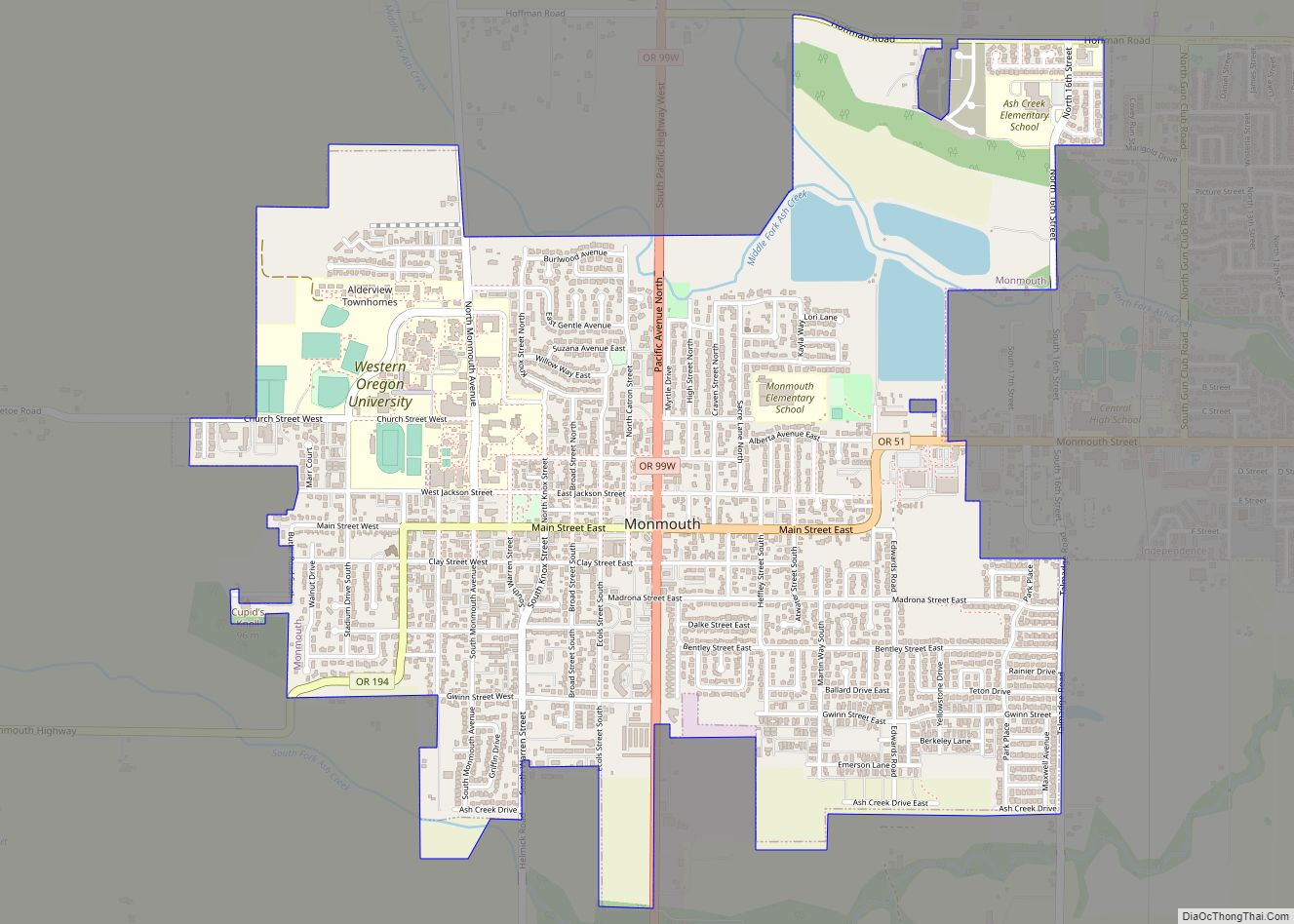
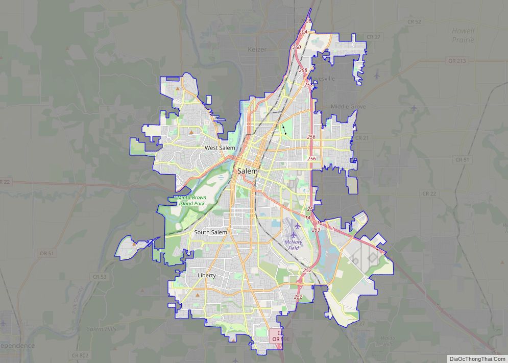
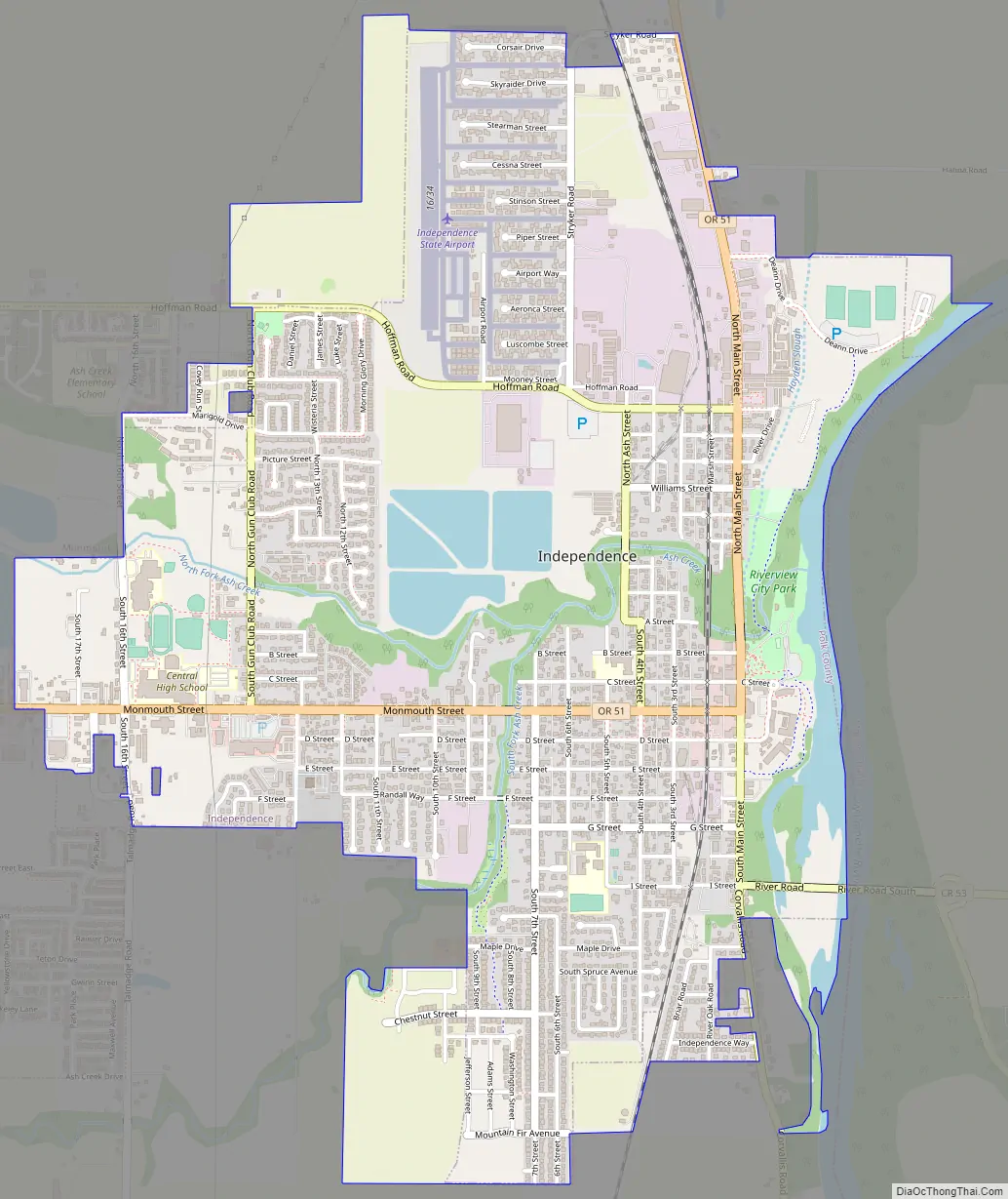
Independence is a city in Polk County, Oregon, United States, on the west bank of the Willamette River along Oregon Route 51, and east of nearby Monmouth. It is part of the Salem Metropolitan Statistical Area. Thirty square blocks of the oldest part of Independence form the National Register of Historic Places-listed Independence Historic District.
The population was 9,828 at the 2020 census.
| Name: | Independence city |
|---|---|
| LSAD Code: | 25 |
| LSAD Description: | city (suffix) |
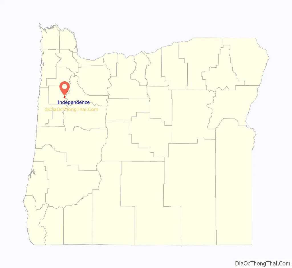
| State: | Oregon |
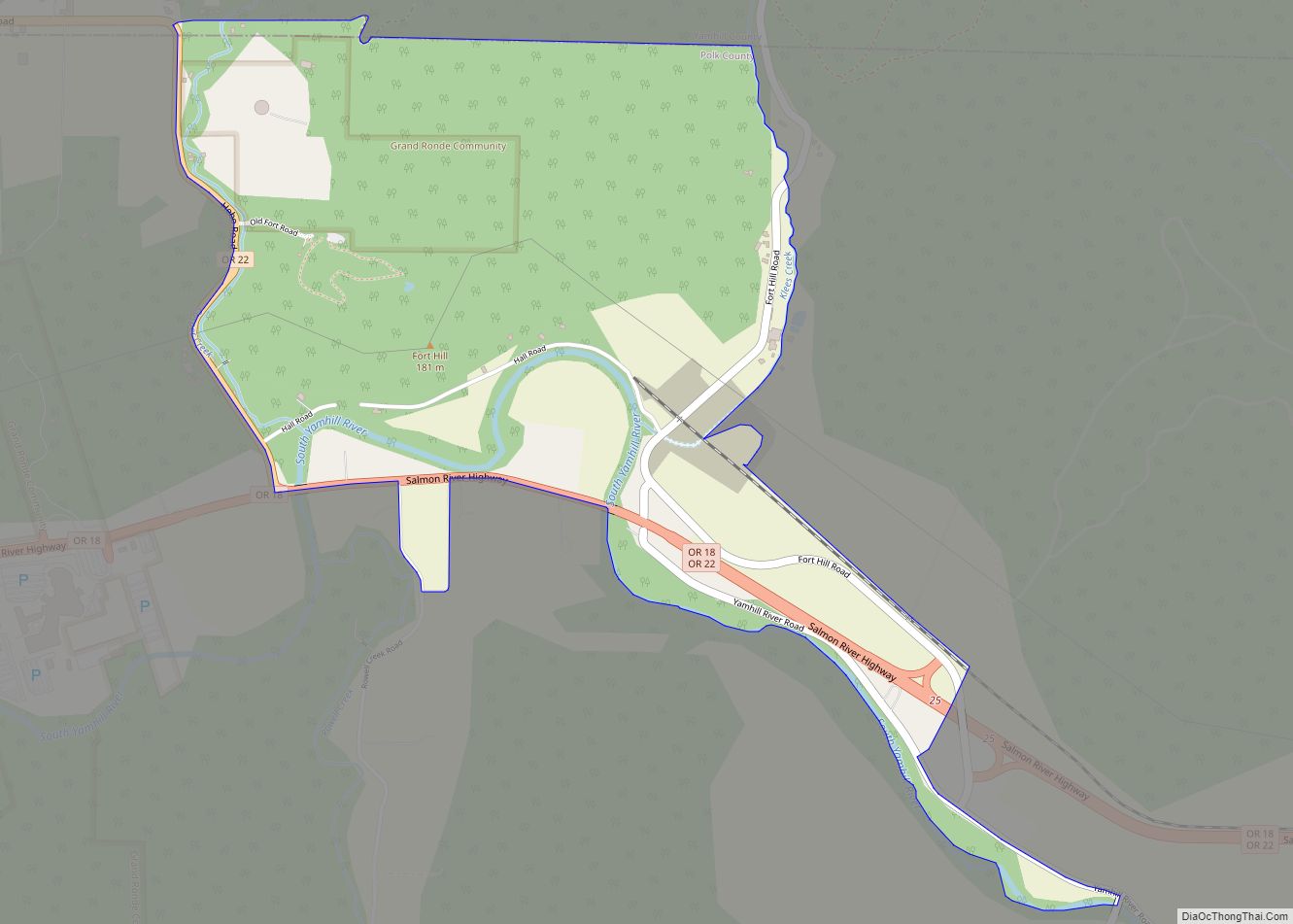
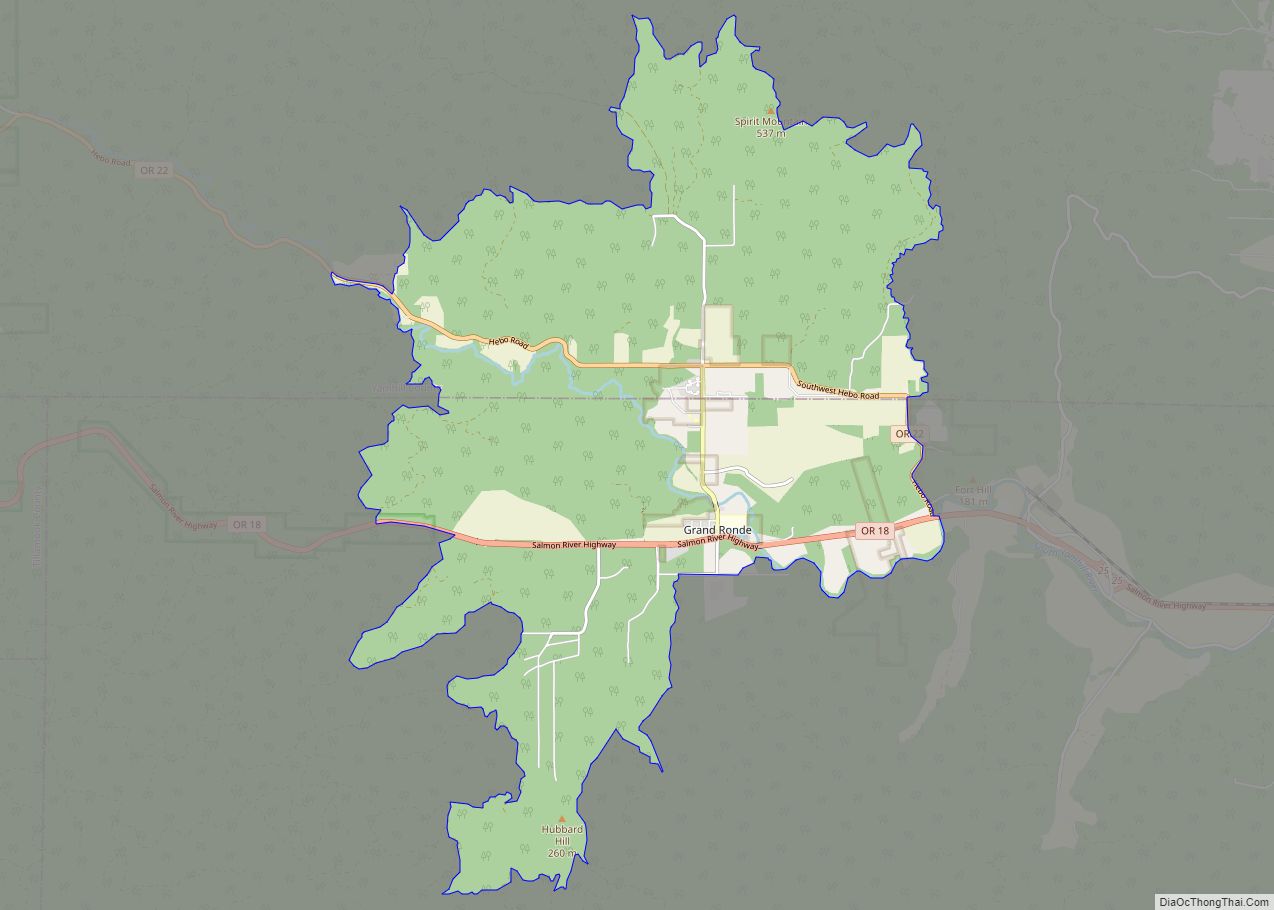
| County: | Polk County |
| Incorporated: | 1874 |
| Elevation: | 168 ft (51.2 m) |
| Total Area: | 3.08 sq mi (7.99 km²) |
| Land Area: | 2.98 sq mi (7.72 km²) |
| Water Area: | 0.10 sq mi (0.26 km²) |
| Total Population: | 9,828 |
| Population Density: | 3,295.77/sq mi (1,272.41/km²) |
| ZIP code: | 97351 |
| Area code: | 503 and 971 |
| FIPS code: | 4136150 |
| GNISfeature ID: | 1163064 |
| Website: | www.ci.independence.or.us |
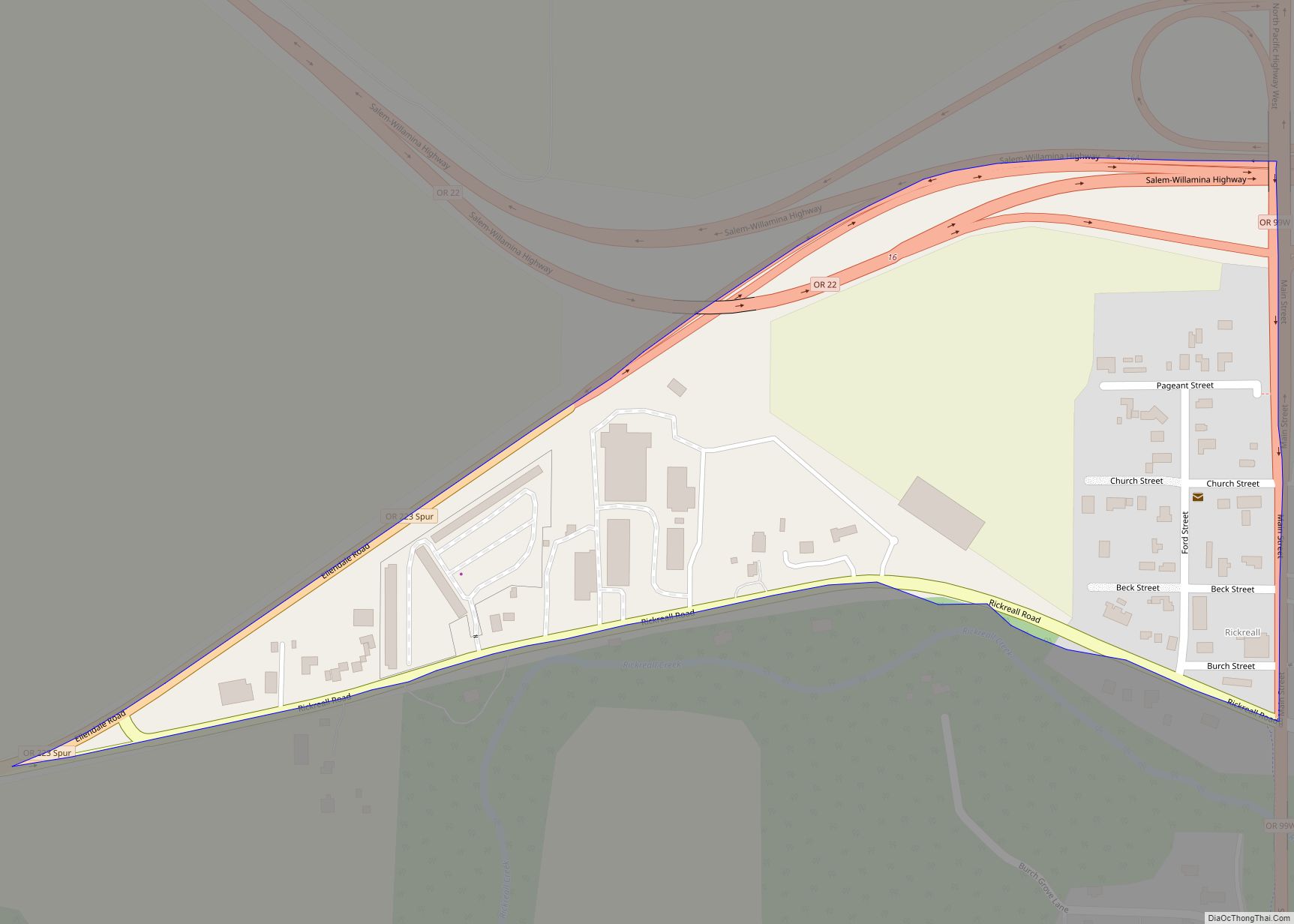
Online Interactive Map
Click on ![]() to view map in "full screen" mode.
to view map in "full screen" mode.
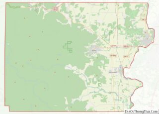
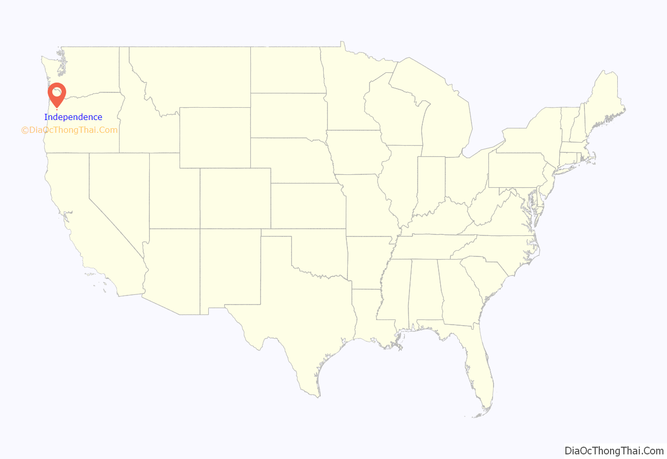
Independence location map. Where is Independence city?
History
Independence was founded by pioneers who migrated from Independence, Missouri. Elvin A. Thorp arrived in the Independence area in 1845 and staked a claim north of Ash Creek in June of that year. He platted a small townsite that later became known as “Thorp’s Town of Independence” or the “Original Town of Independence”, now known as “Old Town”. Thorp named the town for his eponymous hometown in Missouri, as well as in honor of Andrew Jackson’s characteristic of “Independence”.
In 1847, Henry Hill came across the plains looking for a level piece of ground on which to raise stock. On November 14, 1847, he found his location on the west bank of the Willamette River (south of Ash Street) and marked off his donation land claim, which was 1 mile (1.6 km) square. In 1867, after returning from the California gold mines, Hill platted 40 acres (160,000 m) for a townsite, thereafter to be referred to as Henry Hill’s Town of Independence. The city charter bill of February 26, 1885, incorporated E.A. Thorp’s Independence and Henry Hill’s Independence. Henry Hill Elementary School was named in honor of the latter.
Independence thrived as a shipping point, by both rail and boat, for agricultural products and lumber until the 1950s. The city was known for its hops production from the 1890s through the 1940s, hosting a festival called the “Hops Fiesta” from the early 1930s to the mid-1950s. When hop production began to decline in the early 1950s, the city’s fortunes also began to decline.
Downtown Independence was bypassed by major freeways in the 1960s, though the period saw an alternative form of transportation enabled by the construction of the Independence State Airport, which was dedicated on August 14, 1964.
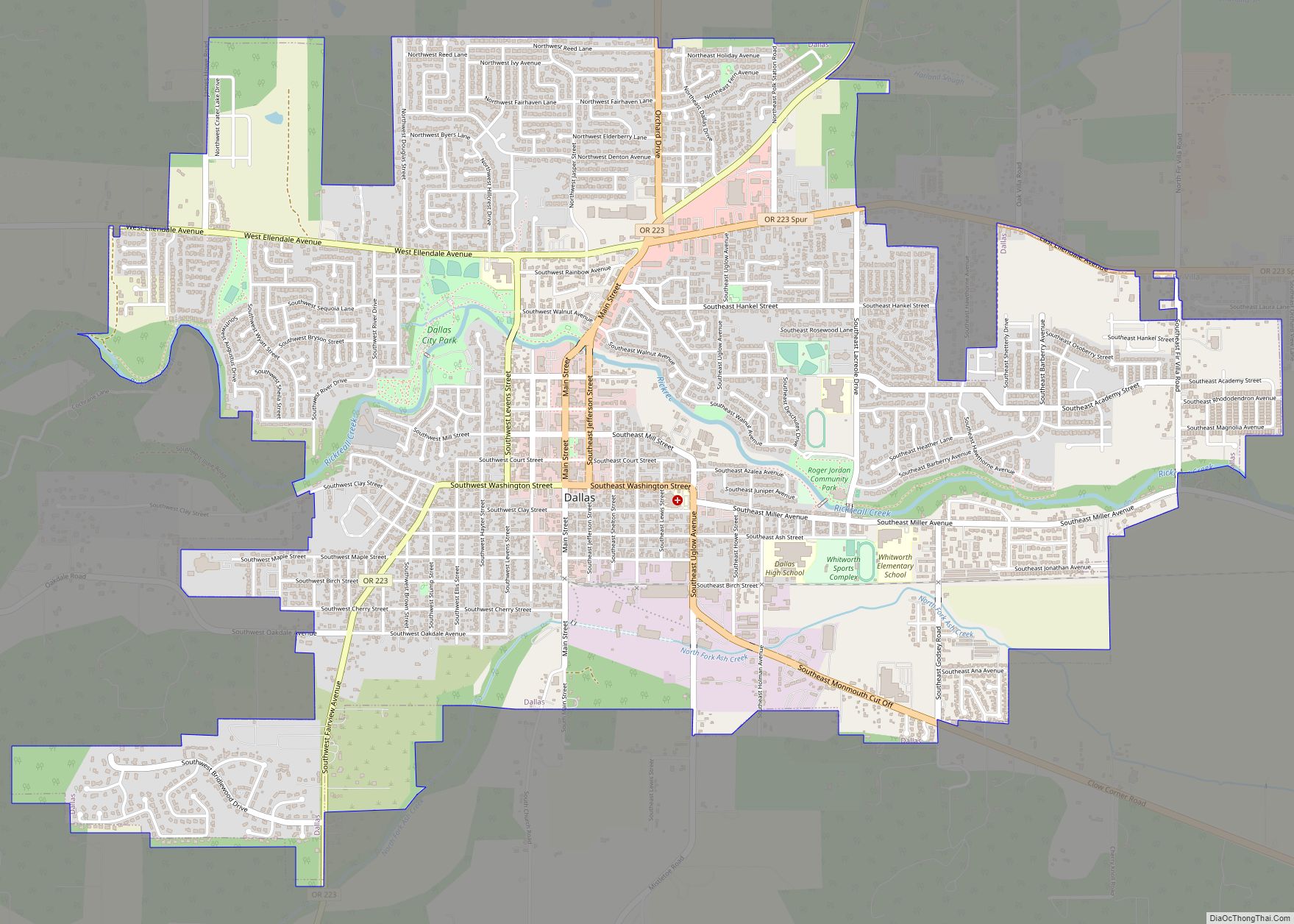
Independence Road Map
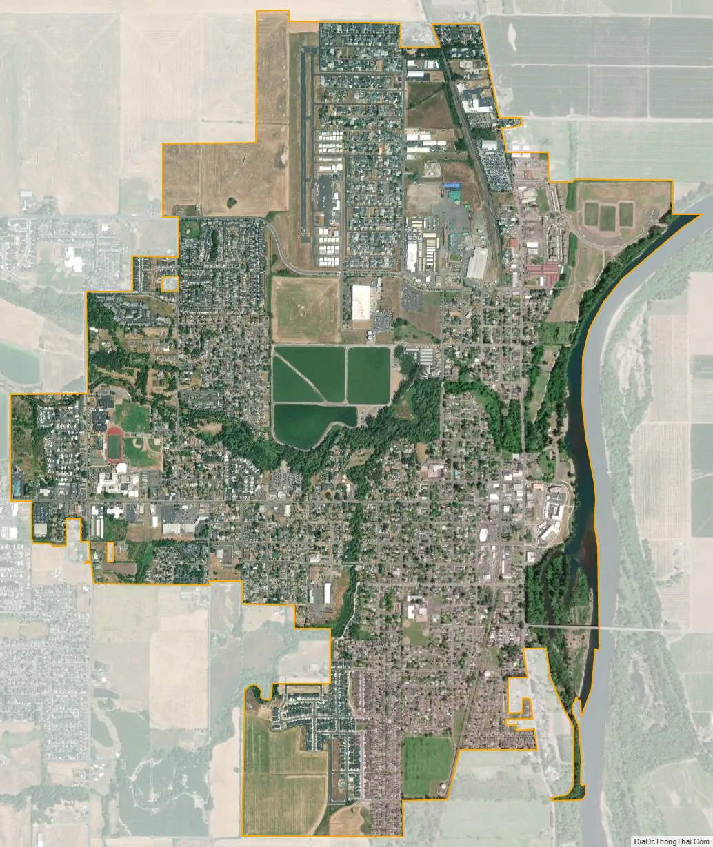
Independence city Satellite Map
Geography
Independence is located at 44°51′11″N 123°11′29″W / 44.85306°N 123.19139°W / 44.85306; -123.19139. According to the United States Census Bureau, the city has a total area of 2.82 square miles (7.30 km), of which 2.73 square miles (7.07 km) is land and 0.09 square miles (0.23 km) is water. Ash Creek flows through Independence, where it meets the Willamette River.
See also
Map of Oregon State and its subdivision: Map of other states:- Alabama
- Alaska
- Arizona
- Arkansas
- California
- Colorado
- Connecticut
- Delaware
- District of Columbia
- Florida
- Georgia
- Hawaii
- Idaho
- Illinois
- Indiana
- Iowa
- Kansas
- Kentucky
- Louisiana
- Maine
- Maryland
- Massachusetts
- Michigan
- Minnesota
- Mississippi
- Missouri
- Montana
- Nebraska
- Nevada
- New Hampshire
- New Jersey
- New Mexico
- New York
- North Carolina
- North Dakota
- Ohio
- Oklahoma
- Oregon
- Pennsylvania
- Rhode Island
- South Carolina
- South Dakota
- Tennessee
- Texas
- Utah
- Vermont
- Virginia
- Washington
- West Virginia
- Wisconsin
- Wyoming