Fránquez is a barrio in the municipality of Morovis, Puerto Rico. Fránquez has twelve sectors and its population in 2010 was 4,583.
| Name: | Fránquez comunidad |
|---|---|
| LSAD Code: | 55 |
| LSAD Description: | comunidad (suffix) |
| State: | Puerto Rico |
| County: | Morovis Municipio |
| Elevation: | 443 ft (135 m) |
| Total Area: | 4.2 sq mi (11 km²) |
| Land Area: | 4.2 sq mi (11 km²) |
| Water Area: | 0 sq mi (0 km²) |
| Total Population: | 4,583 |
| Population Density: | 1,091.2/sq mi (421.3/km²) |
| FIPS code: | 7229555 |
Online Interactive Map
Click on ![]() to view map in "full screen" mode.
to view map in "full screen" mode.
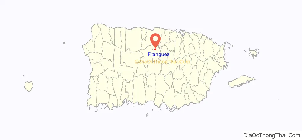
Fránquez location map. Where is Fránquez comunidad?
History
Puerto Rico was ceded by Spain in the aftermath of the Spanish–American War under the terms of the Treaty of Paris of 1898 and became an unincorporated territory of the United States. In 1899, the United States Department of War conducted a census of Puerto Rico finding that the population of Fránquez barrio was 695.
Like all municipalities of Puerto Rico, Morovis was hit hard by Hurricane Maria on September 20, 2017. More than six months after Hurricane Irma, which had occurred just prior to Maria, the community’s school still remained without power and an indignant population voiced their anger.
Fránquez Road Map
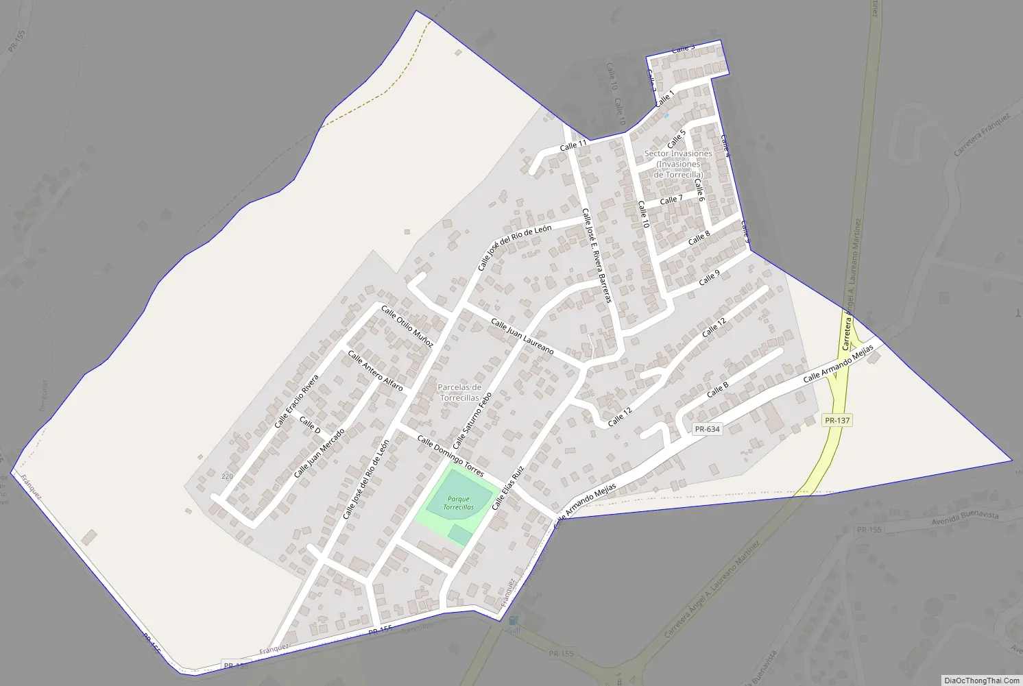
Fránquez city Satellite Map

See also
Map of other states:- Alabama
- Alaska
- Arizona
- Arkansas
- California
- Colorado
- Connecticut
- Delaware
- District of Columbia
- Florida
- Georgia
- Hawaii
- Idaho
- Illinois
- Indiana
- Iowa
- Kansas
- Kentucky
- Louisiana
- Maine
- Maryland
- Massachusetts
- Michigan
- Minnesota
- Mississippi
- Missouri
- Montana
- Nebraska
- Nevada
- New Hampshire
- New Jersey
- New Mexico
- New York
- North Carolina
- North Dakota
- Ohio
- Oklahoma
- Oregon
- Pennsylvania
- Rhode Island
- South Carolina
- South Dakota
- Tennessee
- Texas
- Utah
- Vermont
- Virginia
- Washington
- West Virginia
- Wisconsin
- Wyoming