Jagual is a barrio in the municipality of San Lorenzo, Puerto Rico. Its population in 2010 was 4,042.
| Name: | Jagual comunidad |
|---|---|
| LSAD Code: | 55 |
| LSAD Description: | comunidad (suffix) |
| State: | Puerto Rico |
| County: | San Lorenzo Municipio |
| Elevation: | 682 ft (208 m) |
| Total Area: | 4.15 sq mi (10.7 km²) |
| Land Area: | 4.15 sq mi (10.7 km²) |
| Water Area: | 0 sq mi (0 km²) |
| Total Population: | 4,042 |
| Population Density: | 974/sq mi (376/km²) |
| FIPS code: | 7237166 |
Online Interactive Map
Click on ![]() to view map in "full screen" mode.
to view map in "full screen" mode.
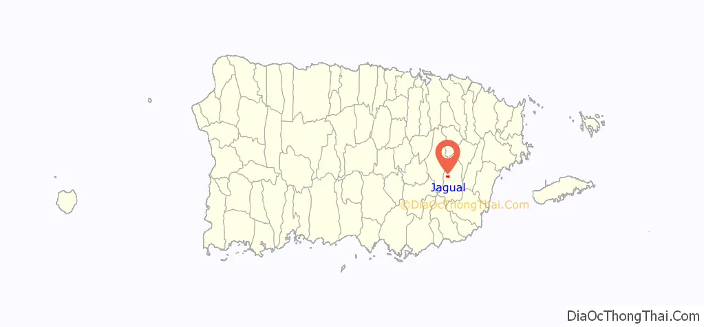
Jagual location map. Where is Jagual comunidad?
History
Puerto Rico was ceded by Spain in the aftermath of the Spanish–American War under the terms of the Treaty of Paris of 1898 and became an unincorporated territory of the United States. In 1899, the United States Department of War conducted a census of Puerto Rico finding that the population of Jagual barrio was 1,024.
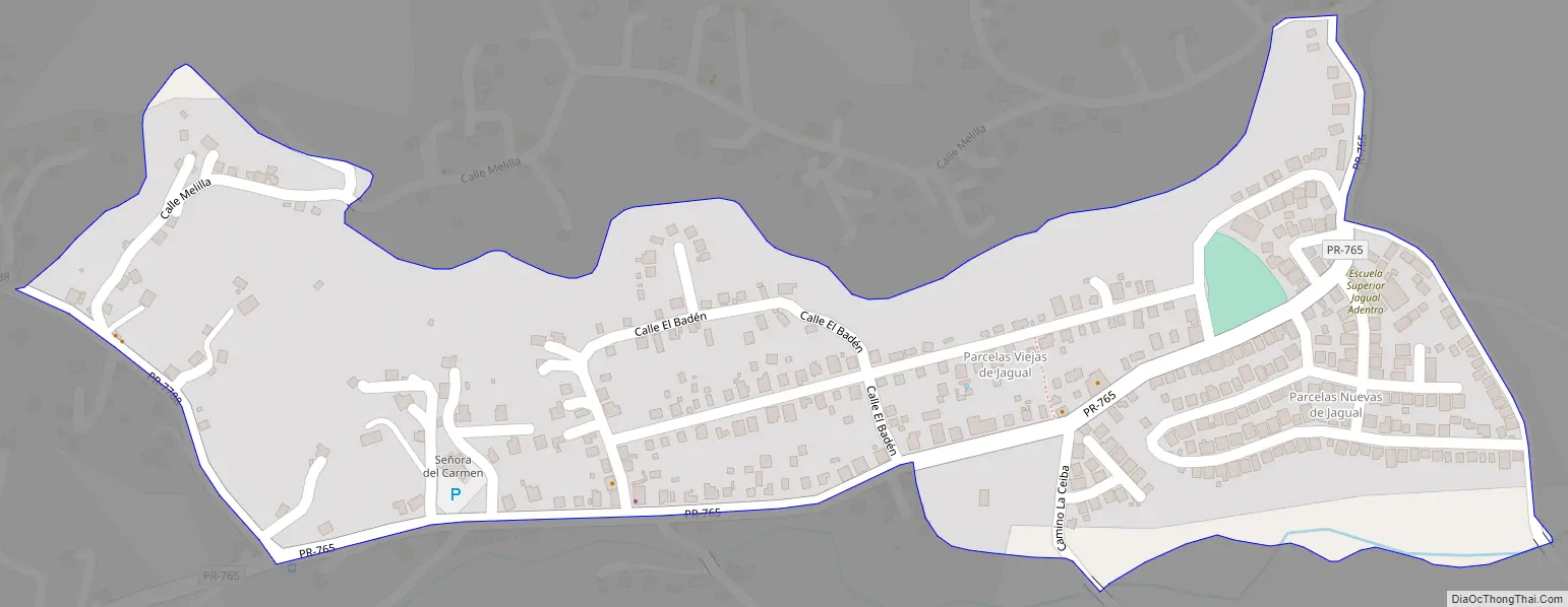
Jagual Road Map
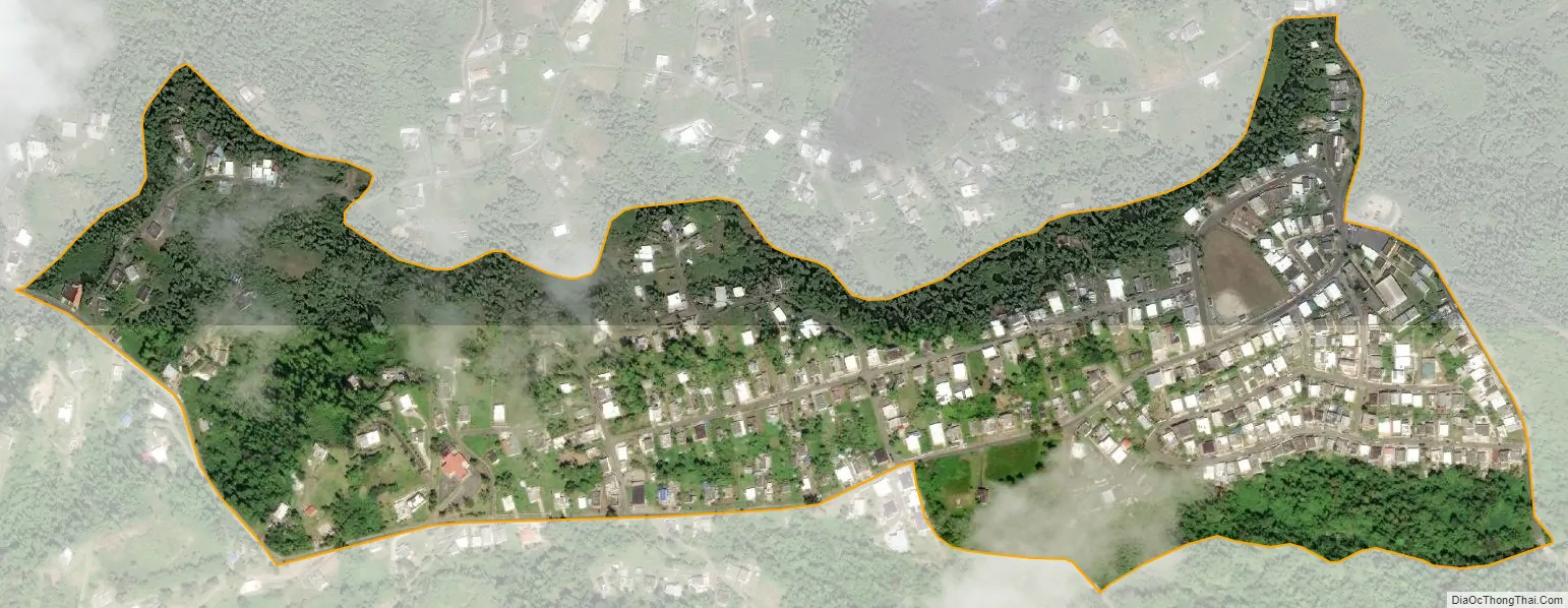
Jagual city Satellite Map
See also
Map of other states:- Alabama
- Alaska
- Arizona
- Arkansas
- California
- Colorado
- Connecticut
- Delaware
- District of Columbia
- Florida
- Georgia
- Hawaii
- Idaho
- Illinois
- Indiana
- Iowa
- Kansas
- Kentucky
- Louisiana
- Maine
- Maryland
- Massachusetts
- Michigan
- Minnesota
- Mississippi
- Missouri
- Montana
- Nebraska
- Nevada
- New Hampshire
- New Jersey
- New Mexico
- New York
- North Carolina
- North Dakota
- Ohio
- Oklahoma
- Oregon
- Pennsylvania
- Rhode Island
- South Carolina
- South Dakota
- Tennessee
- Texas
- Utah
- Vermont
- Virginia
- Washington
- West Virginia
- Wisconsin
- Wyoming