Maguayo is a barrio in the municipality of Dorado, Puerto Rico. Its population in 2010 was 4,496.
| Name: | Maguayo comunidad |
|---|---|
| LSAD Code: | 55 |
| LSAD Description: | comunidad (suffix) |
| State: | Puerto Rico |
| County: | Lajas Municipio |
| Elevation: | 135 ft (41 m) |
| Total Area: | 3.88 sq mi (10.0 km²) |
| Land Area: | 3.86 sq mi (10.0 km²) |
| Water Area: | 0.02 sq mi (0.05 km²) |
| Total Population: | 4,496 |
| Population Density: | 1,164.8/sq mi (449.7/km²) |
| ZIP code: | 00646 |
| FIPS code: | 7248862 |
Online Interactive Map
Click on ![]() to view map in "full screen" mode.
to view map in "full screen" mode.
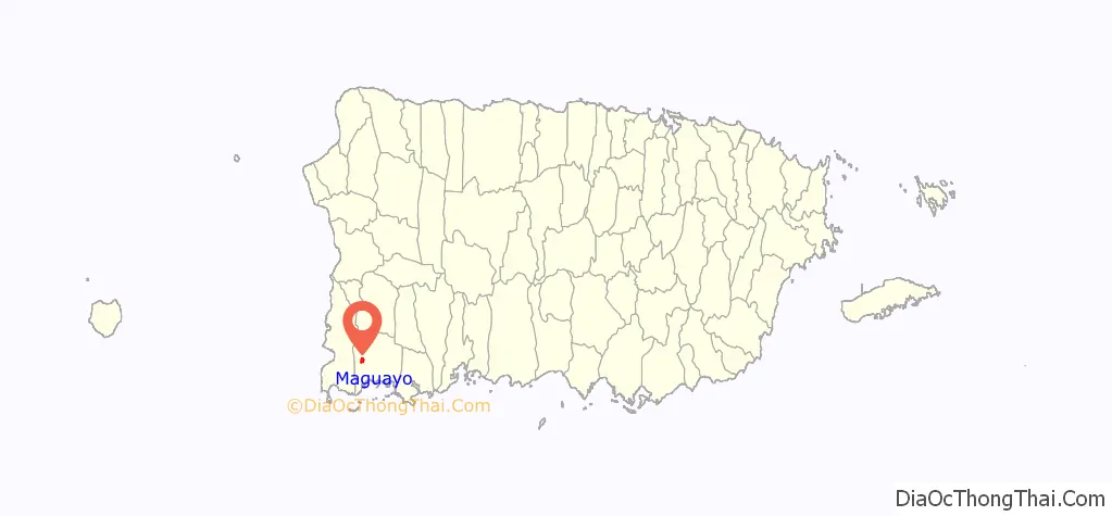
Maguayo location map. Where is Maguayo comunidad?
History
Puerto Rico was ceded by Spain in the aftermath of the Spanish–American War under the terms of the Treaty of Paris of 1898 and became an unincorporated territory of the United States. In 1899, the United States Department of War conducted a census of Puerto Rico finding that the population of Maguayo barrio was 764.
In 2017, after Hurricane Maria destroyed infrastructure and disrupted electrical and water services, residents of Maguayo were getting water from a well that is on the List of Superfund sites (a site containing toxic substances) until officials from the Environmental Protection Agency secured the location.
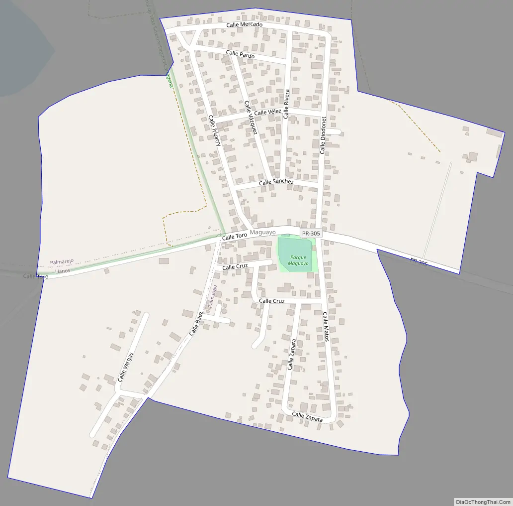
Maguayo Road Map
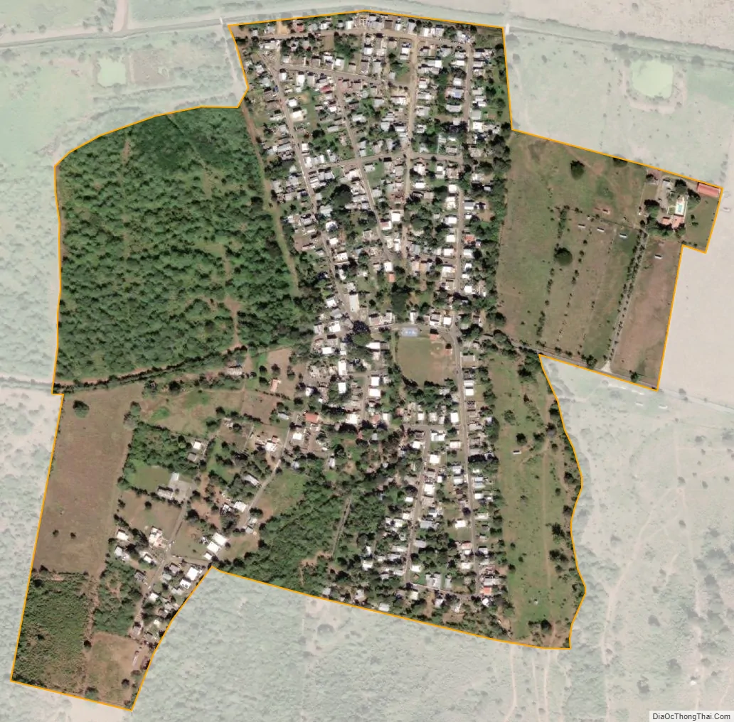
Maguayo city Satellite Map
See also
Map of other states:- Alabama
- Alaska
- Arizona
- Arkansas
- California
- Colorado
- Connecticut
- Delaware
- District of Columbia
- Florida
- Georgia
- Hawaii
- Idaho
- Illinois
- Indiana
- Iowa
- Kansas
- Kentucky
- Louisiana
- Maine
- Maryland
- Massachusetts
- Michigan
- Minnesota
- Mississippi
- Missouri
- Montana
- Nebraska
- Nevada
- New Hampshire
- New Jersey
- New Mexico
- New York
- North Carolina
- North Dakota
- Ohio
- Oklahoma
- Oregon
- Pennsylvania
- Rhode Island
- South Carolina
- South Dakota
- Tennessee
- Texas
- Utah
- Vermont
- Virginia
- Washington
- West Virginia
- Wisconsin
- Wyoming