Reno County (standard abbreviation: RN) is a county located in the U.S. state of Kansas. As of the 2020 census, the population was 61,898. The largest city and county seat is Hutchinson.
| Name: | Reno County |
|---|---|
| FIPS code: | 20-155 |
| State: | Kansas |
| Founded: | February 26, 1867 |
| Named for: | Jesse Lee Reno |
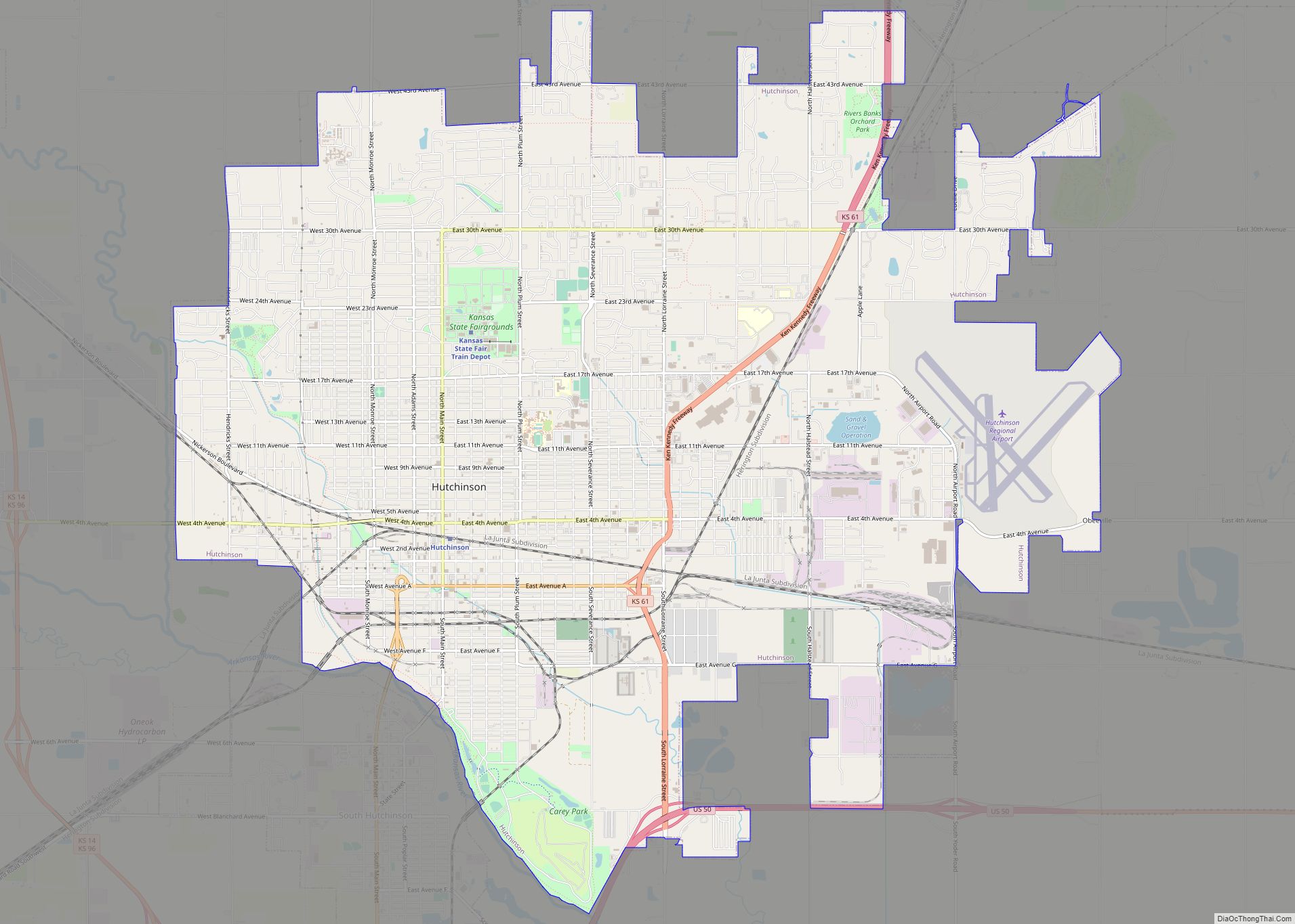
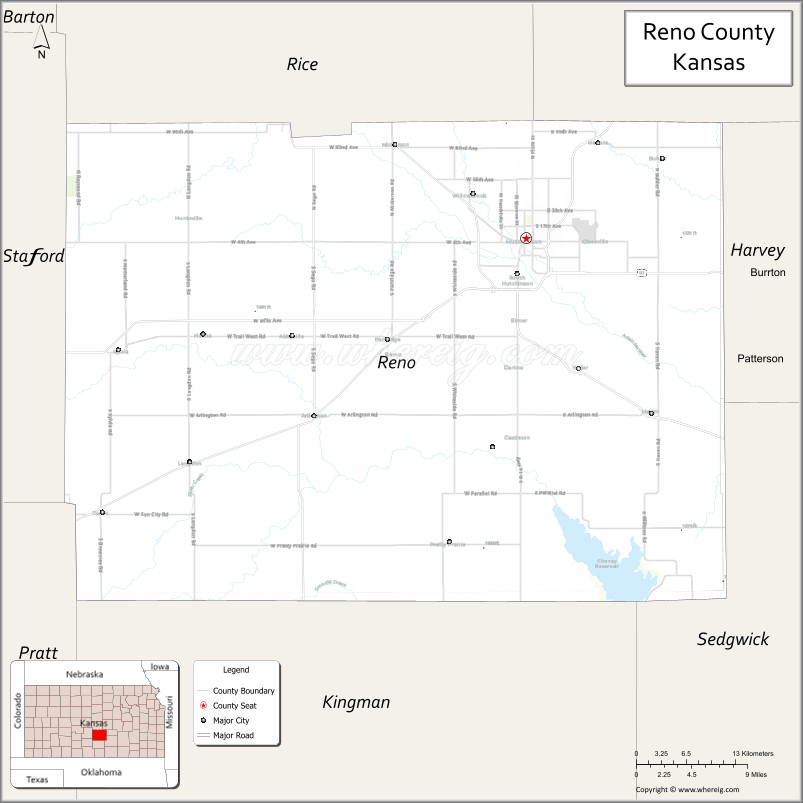
| Seat: | Hutchinson |
| Largest city: | Hutchinson |
| Total Area: | 1,272 sq mi (3,290 km²) |
| Land Area: | 1,255 sq mi (3,250 km²) |
| Total Population: | 61,898 |
| Population Density: | 49.3/sq mi (19.0/km²) |
| Time zone: | UTC−6 (Central) |
| Summer Time Zone (DST): | UTC−5 (CDT) |
| Website: | renogov.org |
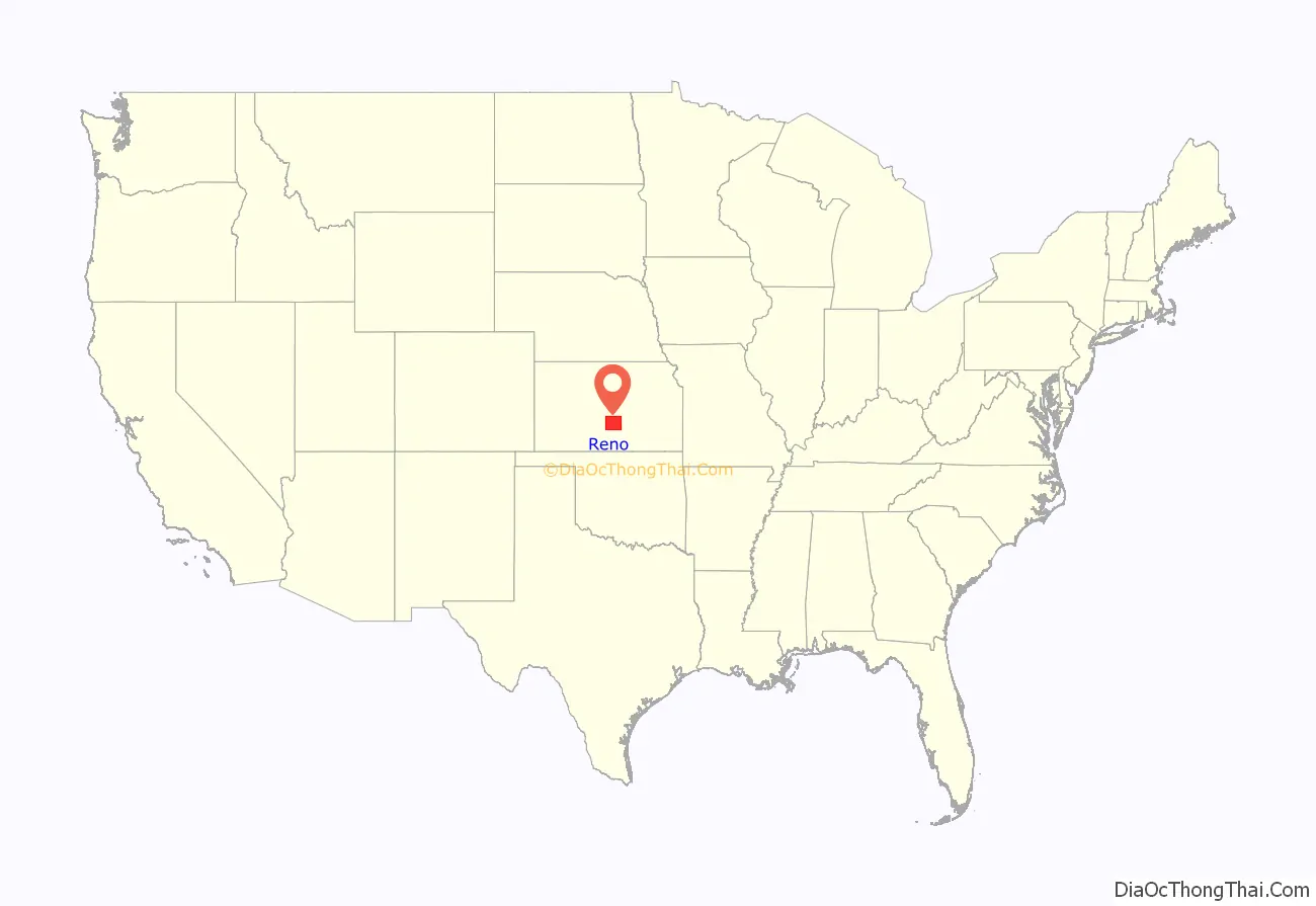
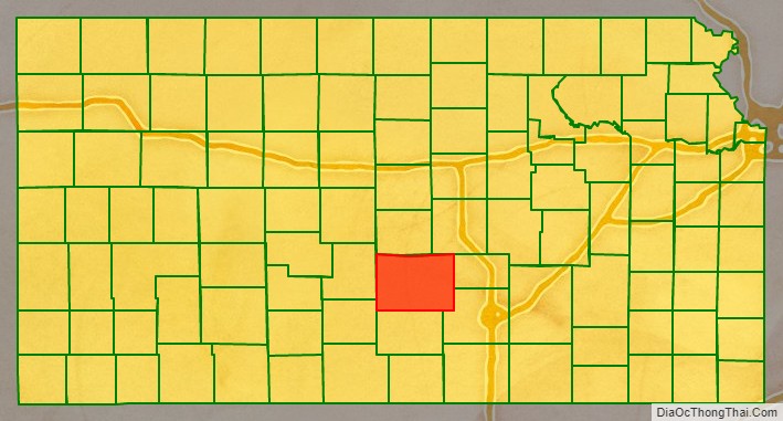
Reno County location map. Where is Reno County?
History
Early history
For many millennia, the Great Plains of North America was inhabited by nomadic Native Americans. From the 16th century to 18th century, the Kingdom of France claimed ownership of large parts of North America. In 1762, after the French and Indian War, France secretly ceded New France to Spain, per the Treaty of Fontainebleau.
19th century
In 1802, Spain returned most of the land to France, but keeping title to about 7,500 square miles. In 1803, most of the land for modern day Kansas was acquired by the United States from France as part of the 828,000 square mile Louisiana Purchase for 2.83 cents per acre.
In 1854, the Kansas Territory was organized, then in 1861 Kansas became the 34th U.S. state.
In 1867, Reno County was established, named for General Jesse L. Reno.
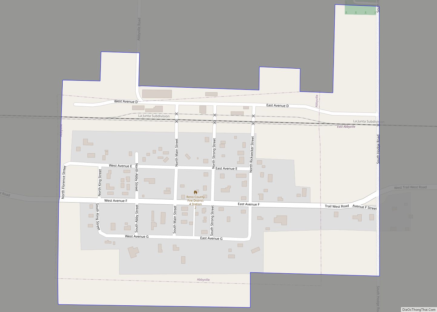
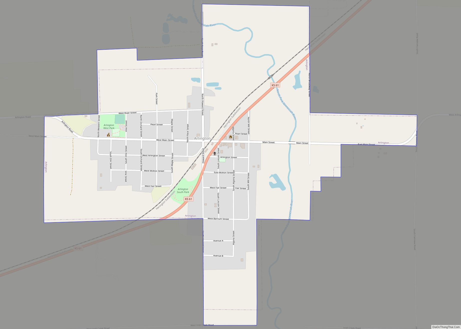
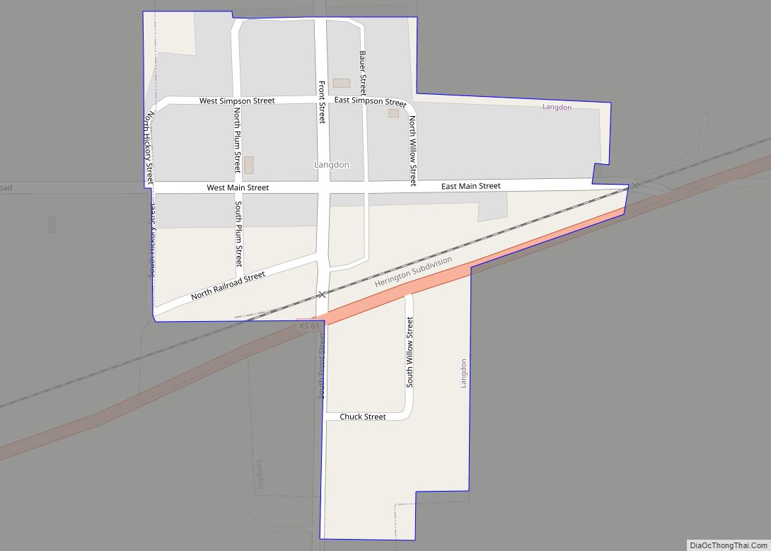
In 1887, the Chicago, Kansas and Nebraska Railway extended its main line from Herington to Pratt. This main line connected Herington, Ramona, Tampa, Durham, Waldeck, Canton, Galva, McPherson, Groveland, Inman, Medora, Hutchinson, Whiteside, Partridge, Arlington, Langdon, Turon, Preston, Natrona, Pratt. In 1888, this main line was extended to Liberal. Later, this line was extended to Tucumcari, New Mexico and El Paso, Texas. This line is called the “Golden State Limited”.
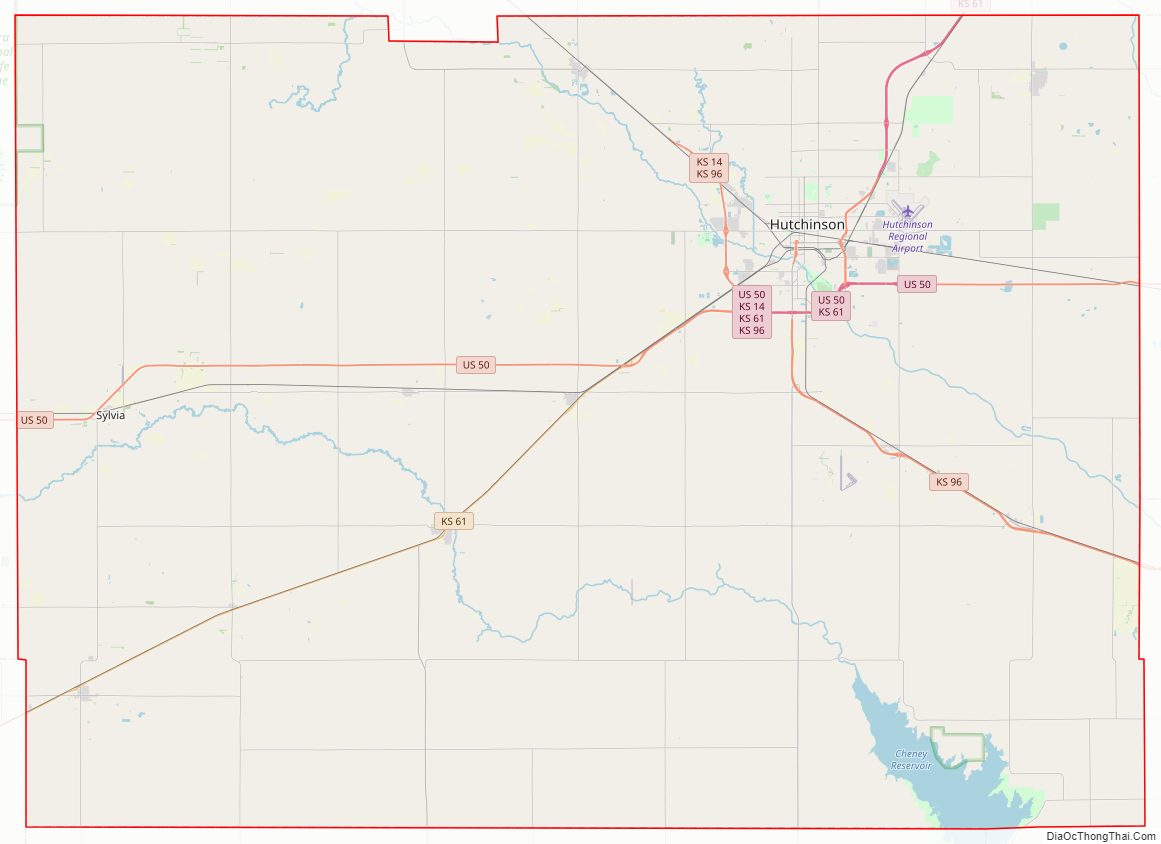
Reno County Road Map
Geography
According to the United States Census Bureau, the county has a total area of 1,272 square miles (3,290 km), of which 1,255 square miles (3,250 km) is land and 17 square miles (44 km) (1.3%) is water. It is the third-largest county by area in Kansas.
Adjacent counties
- Rice County (north)
- McPherson County (northeast)
- Harvey County (east)
- Sedgwick County (southeast)
- Kingman County (south)
- Pratt County (southwest)
- Stafford County (west)
National protected area
- Quivira National Wildlife Refuge (part)
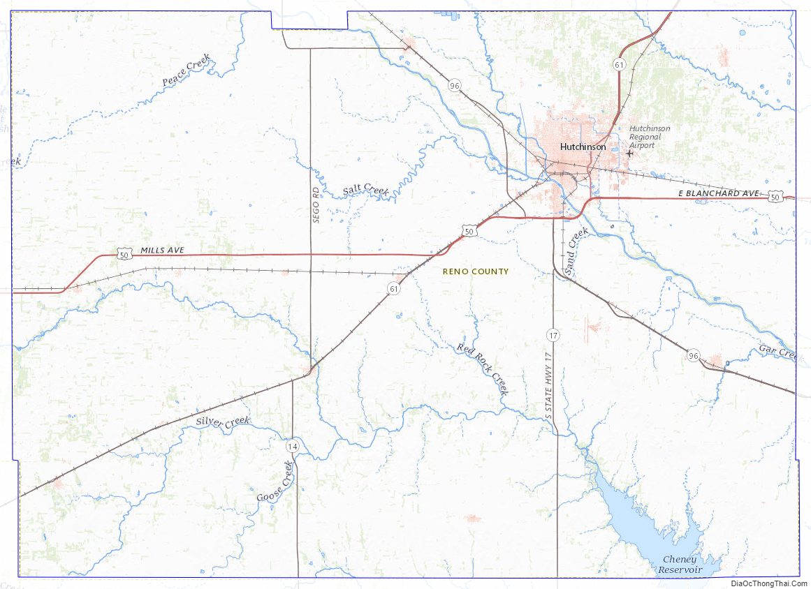
Reno County Topographic Map
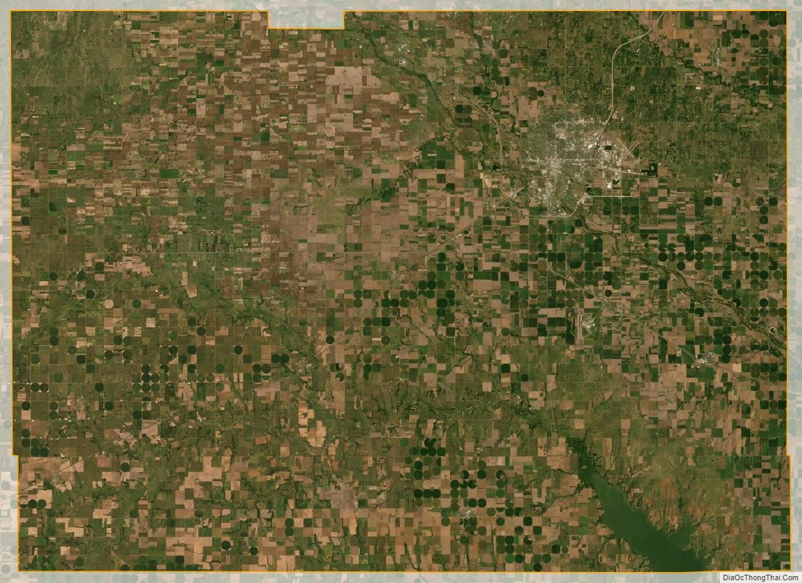
Reno County Satellite Map
Reno County Outline Map