Pratt is a city in and the county seat of Pratt County, Kansas, United States. As of the 2020 census, the population of the city was 6,603. It is home to Pratt Community College.
| Name: | Pratt city |
|---|---|
| LSAD Code: | 25 |
| LSAD Description: | city (suffix) |
| State: | Kansas |
| County: | Pratt County |
| Founded: | 1884 |
| Incorporated: | 1884 |
| Elevation: | 1,887 ft (575 m) |
| Total Area: | 7.83 sq mi (20.29 km²) |
| Land Area: | 7.71 sq mi (19.97 km²) |
| Water Area: | 0.12 sq mi (0.32 km²) |
| Total Population: | 6,603 |
| Population Density: | 840/sq mi (330/km²) |
| ZIP code: | 67124 |
| Area code: | 620 |
| FIPS code: | 2057625 |
| Website: | cityofprattks.com |
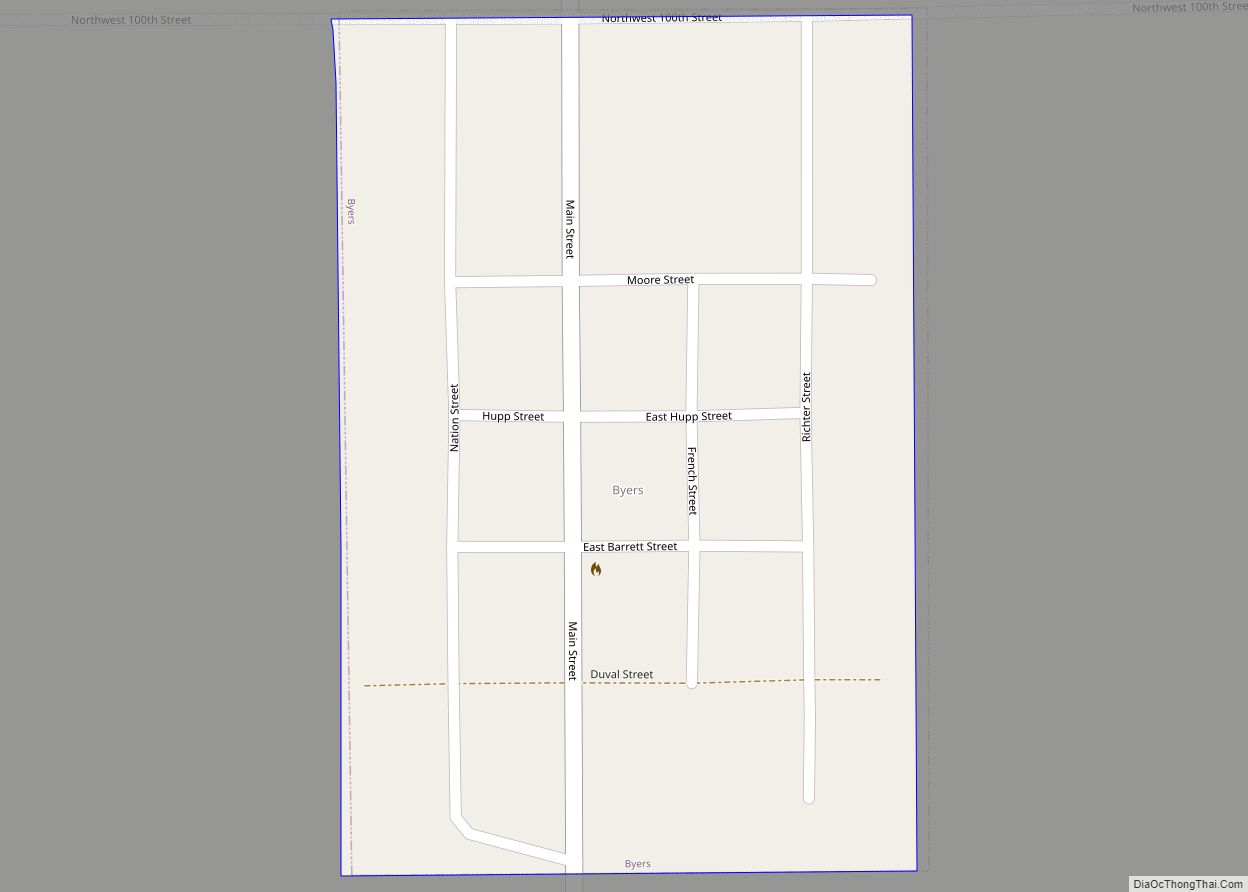
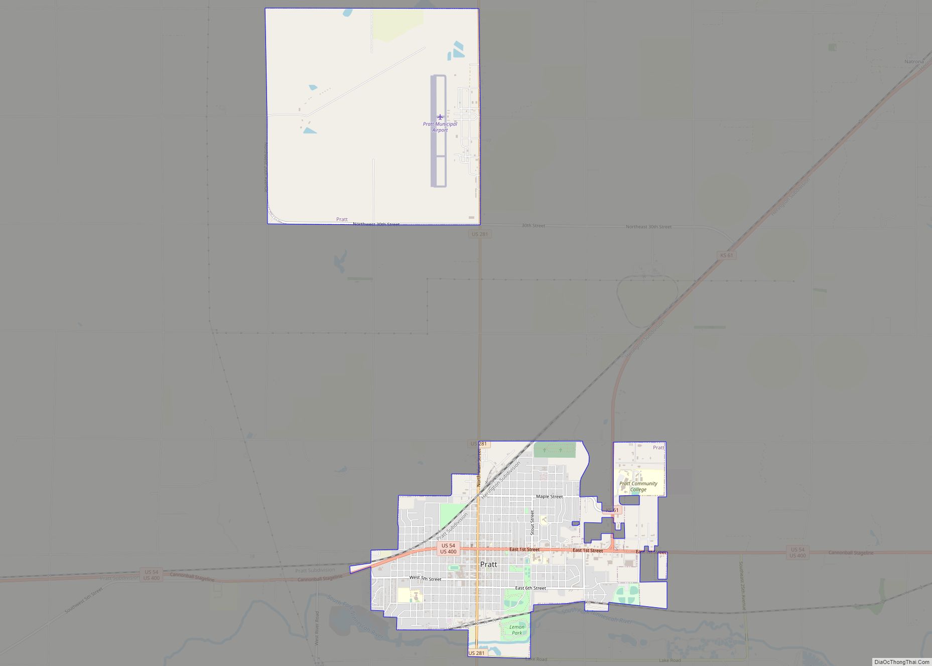
Online Interactive Map
Click on ![]() to view map in "full screen" mode.
to view map in "full screen" mode.
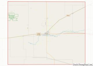
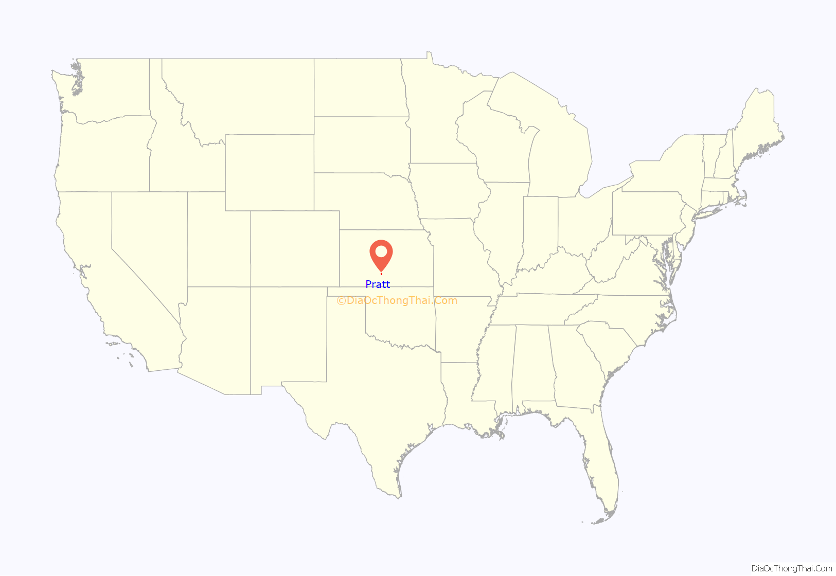
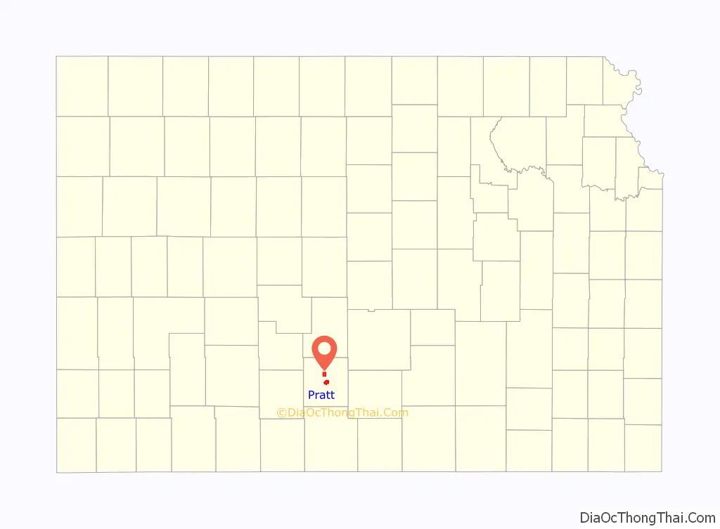
Pratt location map. Where is Pratt city?
History
19th century
Pratt was founded in 1884 and named after Caleb S. Pratt, a young Civil War officer from the Kansas Infantry, who was killed in the Battle of Wilson’s Creek near Springfield, Missouri The first post office in Pratt was established in June 1884.
In 1887, the Chicago, Kansas and Nebraska Railway built a main line from Herington to Pratt. In 1888, this line was extended to Liberal. Later, it was extended to Tucumcari, New Mexico and El Paso, Texas. It foreclosed in 1891 and was taken over by Chicago, Rock Island and Pacific Railway, which shut down in 1980 and reorganized as St. Louis and Southwestern “Cotton Belt” Railroad, a subsidiary of Southern Pacific Railroad which merged in 1996 with Union Pacific. Most locals still refer to this railroad as the “Rock Island”.
20th century
Built in 1930, Hotel Roberts is the largest and most highly styled historic hotel in Pratt. Construction of the hotel was initiated by the Pratt Chamber of Commerce, which formed a committee in the late 1920s specifically to facilitate the construction of a large new hotel. Seen as a potentially valuable asset for the community, the hotel was financed in part through a public subscription campaign, and constructed on land provided by the Chamber. The Pratt Hotel Company owned and operated the hotel and hired Wichita architect Samuel S. Voigt and Kansas City contractor Webster L. Elson to design and build the building. Elson not only supervised the rapid construction of the “fire-proof” building, he was a founding member of the Pratt Hotel Company, and he retained an ownership interest in the property for many years. The community hospital was established on the eighth floor of the building in 1932, complete with an operating room and an x-ray machine. Architecturally, the building is significant as an early and sophisticated example of the Art Deco style in central Kansas. The hotel opened as the Hotel Roberts in 1930, and continued under that name until 1959, when it was purchased by Monte Parrish and renamed the Hotel Parrish. In January 2015 it was listed on the National and State Registers of Historic Places for its local significance in the areas of architecture and community planning and development.
During World War II, the nearby Pratt Army Airfield was the first base used for training Boeing B-29 Superfortress bomber crews and also served as a staging area for getting early aircraft combat-ready, in what became known as the Battle of Kansas.
The Miss Kansas Parade and Pageant are held here.
The state headquarters of Kansas Department of Wildlife and Parks was constructed southeast of the town.
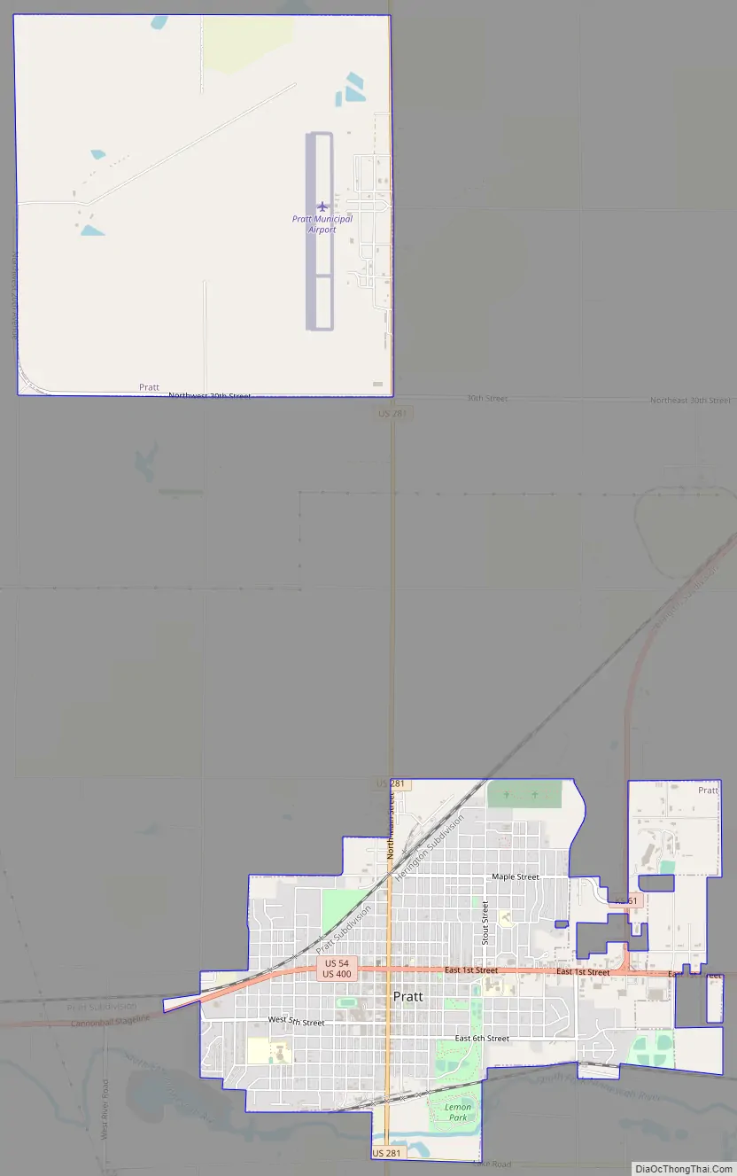
Pratt Road Map
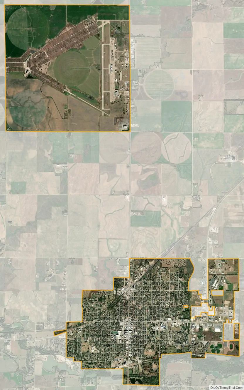
Pratt city Satellite Map
Geography
According to the United States Census Bureau, the city has a total area of 7.49 square miles (19.40 km), of which 7.37 square miles (19.09 km) is land and 0.12 square miles (0.31 km) is water. Pratt is located approximately eighty miles west of Wichita.
Climate
See also
Map of Kansas State and its subdivision:- Allen
- Anderson
- Atchison
- Barber
- Barton
- Bourbon
- Brown
- Butler
- Chase
- Chautauqua
- Cherokee
- Cheyenne
- Clark
- Clay
- Cloud
- Coffey
- Comanche
- Cowley
- Crawford
- Decatur
- Dickinson
- Doniphan
- Douglas
- Edwards
- Elk
- Ellis
- Ellsworth
- Finney
- Ford
- Franklin
- Geary
- Gove
- Graham
- Grant
- Gray
- Greeley
- Greenwood
- Hamilton
- Harper
- Harvey
- Haskell
- Hodgeman
- Jackson
- Jefferson
- Jewell
- Johnson
- Kearny
- Kingman
- Kiowa
- Labette
- Lane
- Leavenworth
- Lincoln
- Linn
- Logan
- Lyon
- Marion
- Marshall
- McPherson
- Meade
- Miami
- Mitchell
- Montgomery
- Morris
- Morton
- Nemaha
- Neosho
- Ness
- Norton
- Osage
- Osborne
- Ottawa
- Pawnee
- Phillips
- Pottawatomie
- Pratt
- Rawlins
- Reno
- Republic
- Rice
- Riley
- Rooks
- Rush
- Russell
- Saline
- Scott
- Sedgwick
- Seward
- Shawnee
- Sheridan
- Sherman
- Smith
- Stafford
- Stanton
- Stevens
- Sumner
- Thomas
- Trego
- Wabaunsee
- Wallace
- Washington
- Wichita
- Wilson
- Woodson
- Wyandotte
- Alabama
- Alaska
- Arizona
- Arkansas
- California
- Colorado
- Connecticut
- Delaware
- District of Columbia
- Florida
- Georgia
- Hawaii
- Idaho
- Illinois
- Indiana
- Iowa
- Kansas
- Kentucky
- Louisiana
- Maine
- Maryland
- Massachusetts
- Michigan
- Minnesota
- Mississippi
- Missouri
- Montana
- Nebraska
- Nevada
- New Hampshire
- New Jersey
- New Mexico
- New York
- North Carolina
- North Dakota
- Ohio
- Oklahoma
- Oregon
- Pennsylvania
- Rhode Island
- South Carolina
- South Dakota
- Tennessee
- Texas
- Utah
- Vermont
- Virginia
- Washington
- West Virginia
- Wisconsin
- Wyoming