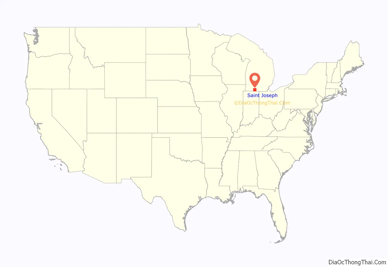
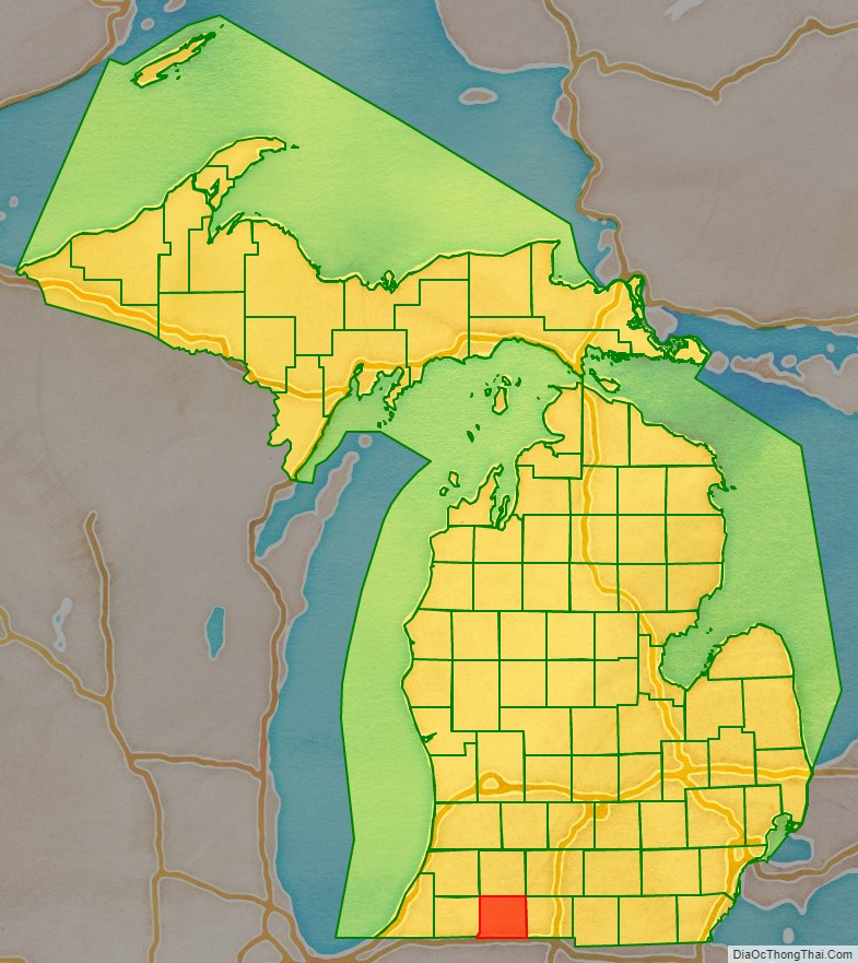
St. Joseph County is a county located in the U.S. state of Michigan, on the central southern border with Indiana. As of the 2020 United States Census, the population was 60,939. The county seat is Centreville.
French colonists in the late 17th century were the first Europeans to explore this territory, and they named the St. Joseph River for the patron saint of New France. This area was not part of the United States until after the American Revolutionary War. After the 1821 Treaty of Chicago was signed, regional tribes of the indigenous peoples ceded much land to the United States, opening the area for American settlement. The county was set off and organized by the Michigan Territory legislature in 1829; it was named for the river.
The area is home to the oldest and largest Amish community in Michigan.
St. Joseph County comprises the Sturgis, MI Micropolitan Statistical Area and is included in the Kalamazoo–Battle Creek–Portage, MI Combined Statistical Area.
| Name: | St. Joseph County |
|---|---|
| FIPS code: | 26-149 |
| State: | Michigan |
| Founded: | 1829 |
| Named for: | Fort St. Joseph |
| Seat: | Centreville |
| Largest city: | Sturgis |
| Total Area: | 521 sq mi (1,350 km²) |
| Land Area: | 501 sq mi (1,300 km²) |
| Total Population: | 60,939 |
| Population Density: | 122/sq mi (47/km²) |
| Time zone: | UTC−5 (Eastern) |
| Summer Time Zone (DST): | UTC−4 (EDT) |
St. Joseph County location map. Where is St. Joseph County?
History
This area was settled by members of the three Algonquian-speaking tribes of the Council of Three Fires: the Potawatomi, Odawa, and Chippewa (known as Ojibwa in Canada). French explorers in a party led by Father Hennepin came upriver from Lake Michigan in 1679. A Jesuit mission was established near where the French later built Fort St. Joseph, and they named the waterway as the St. Joseph River.
After the United States and tribal representatives made the 1821 Treaty of Chicago, much of the land in this region was ceded by the tribes to Michigan Territory, so more settlers came from Detroit, Monroe and later from New England and upstate New York. The first were ethnic French. The Godfroy brothers of Detroit built a trading post south of the river, near the later Marantette House site. They appointed Frances Mouton as an agent to trade with the natives of the Nottawaseepe (sippi) settlement. They had another post nearby where Patrick Marantette, also from Detroit, first worked as an agent. He ended up settling in and marrying Mouton’s daughter Francis. Theirs was the first marriage in the settlement, and their daughter the first European American born here, in 1836.
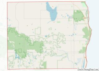
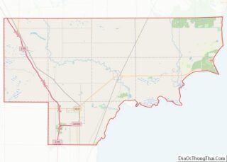
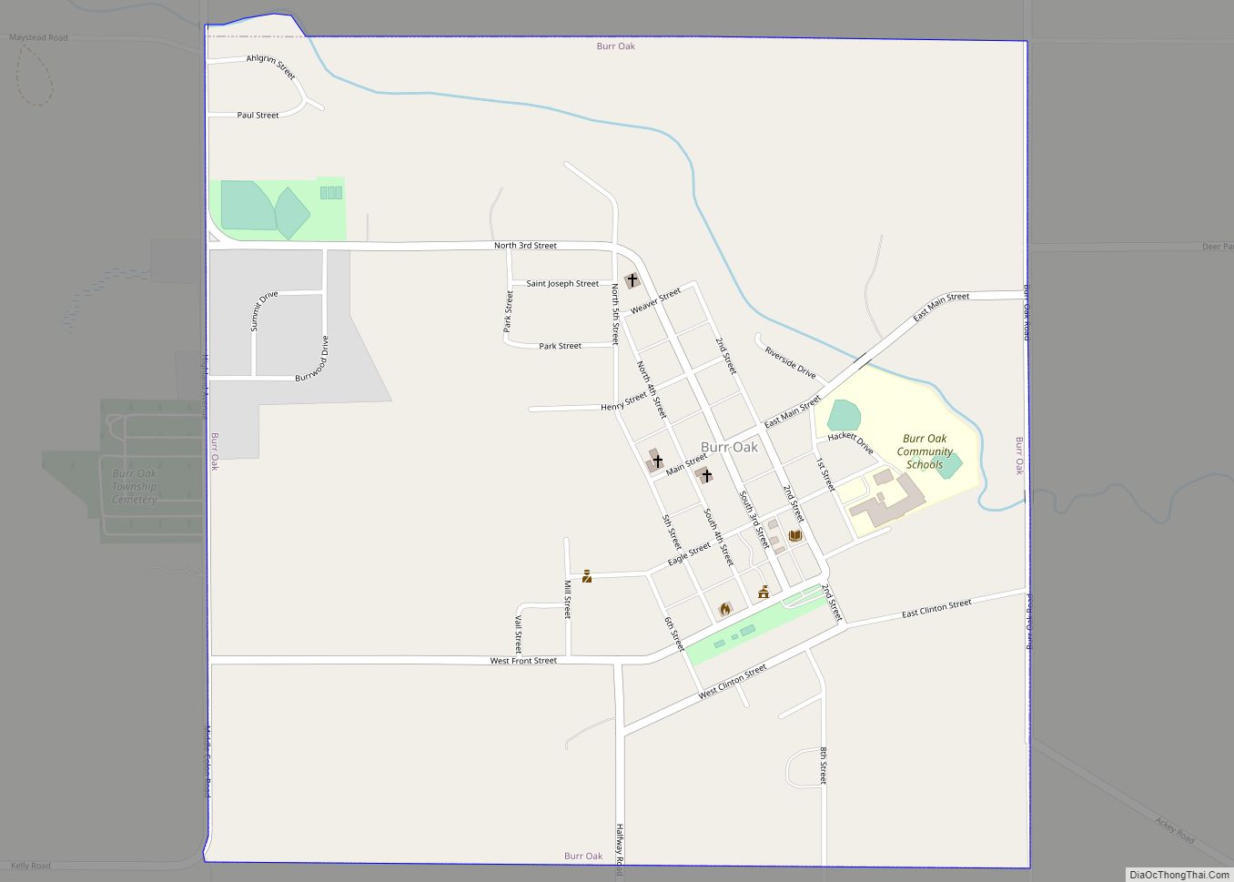
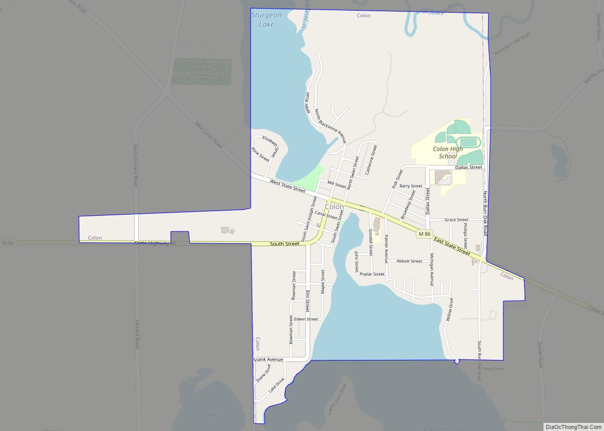
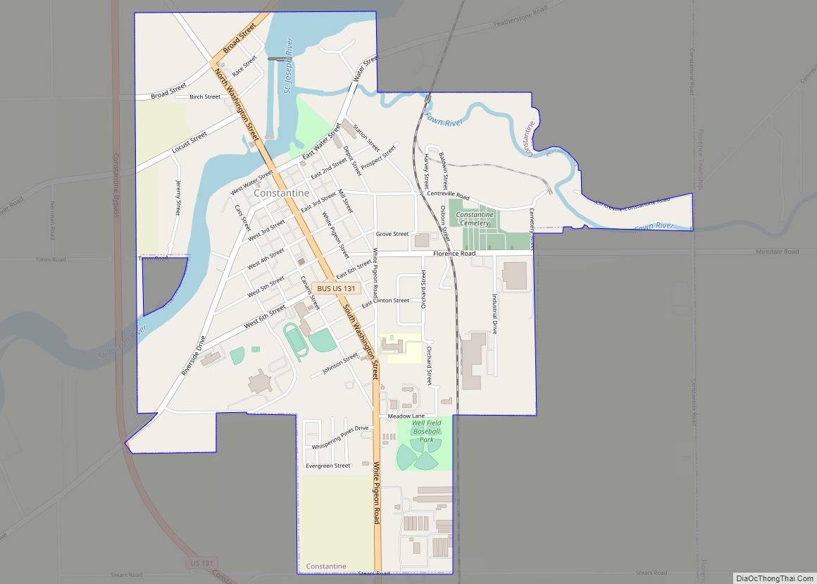
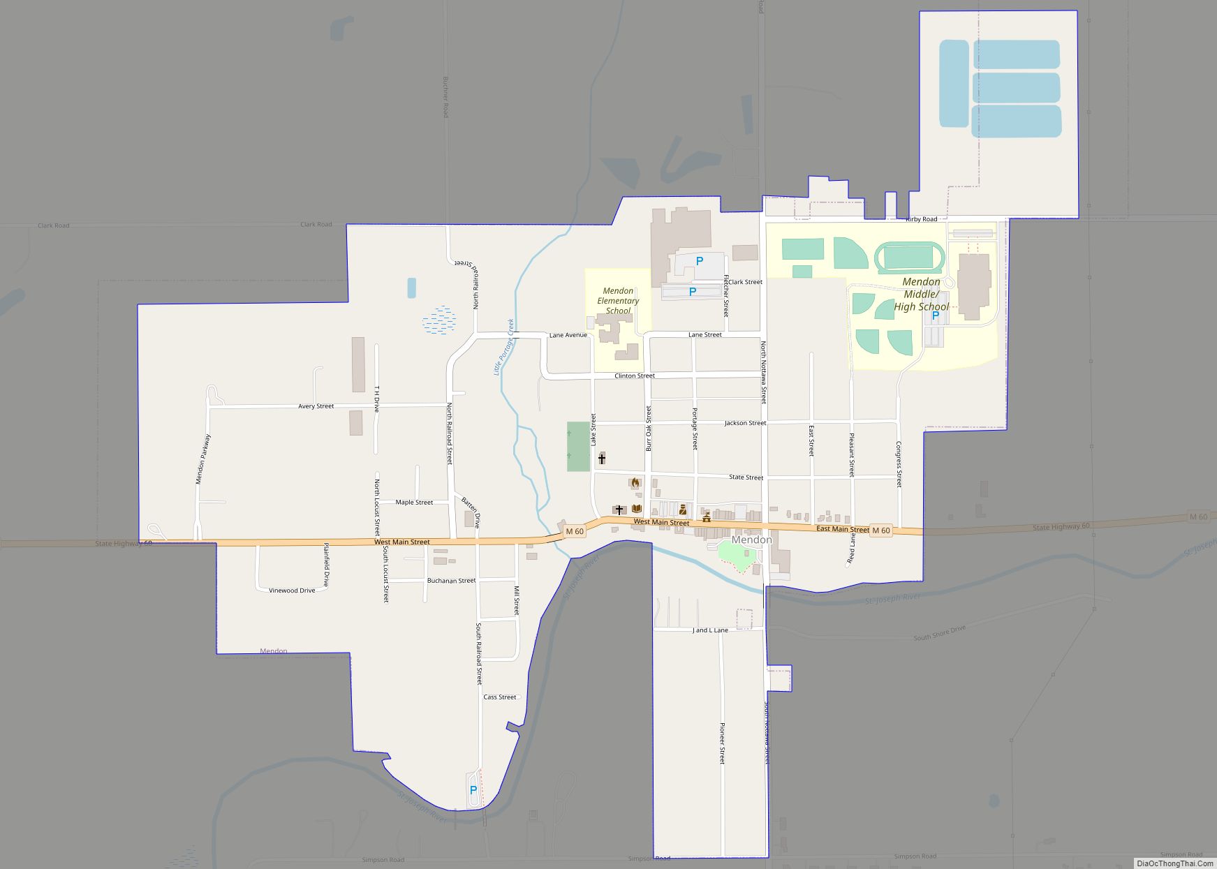
St. Joseph County Road Map
Geography
According to the U.S. Census Bureau, the county has a total area of 521 square miles (1,350 km), of which 501 square miles (1,300 km) is land and 20 square miles (52 km) (3.9%) is water. It is the fourth-smallest county in Michigan by total area. The entire county lies in the Saint Joseph River watershed.
Adjacent counties
- Van Buren County – northwest
- Kalamazoo County – north
- Calhoun County – northeast
- Branch County – east
- LaGrange County, Indiana – south
- Elkhart County, Indiana – southwest
- Cass County – west
Major highways
- US 12 – runs east–west across lower portion of the county. Passes White Pigeon and Sturgis.
- US 131 – runs north–south through the western portion of the county. Passes Three Rivers, Constantine, White Pigeon.
- Bus. US 131 – runs north–south through eastern Three Rivers – length 1.6 mile (2.6 km).
- M-60 – runs ENE through the upper portion of the county. Passes Three Rivers, Parkville, Mendon, Leonidas.
- M-66 – enters SE portion of county from Star Mill, Indiana. Runs north to intersection with M60, two miles (3 km) east of Mendon.
- M-86 – runs east–west through center of the county. Enters at Colon, passes Nella and Centreville to intersection with M60 at Three Rivers.
- M-103 – enters SW tip of county; runs north 2 miles (3 km) to intersection with US12 near west county line.
- M-216 – enters NW portion of county from Marcellus. Runs east to intersection with US131 four miles (6 km)north of Three Rivers.
Strictly speaking, the Indiana Toll Road I-80 / I-90 / Indiana Toll Road does not enter St. Joseph County, Michigan, but it has an interchanges with US 131 barely within Indiana. Although M-66 does not quite reach the Toll Road, the toll road interchange is in clear sight from M-66 before it becomes Indiana State Highway 9.
