Centreville is a village in the U.S. state of Michigan and the county seat of St. Joseph County. The population was 1,425 at the 2010 census.
| Name: | Centreville village |
|---|---|
| LSAD Code: | 47 |
| LSAD Description: | village (suffix) |
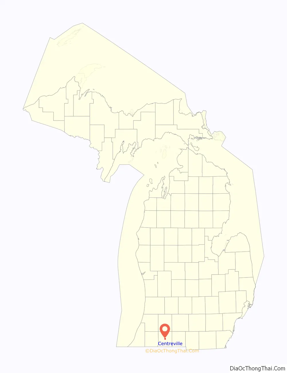
| State: | Michigan |
| County: | St. Joseph County |
| Elevation: | 820 ft (250 m) |
| Total Area: | 1.49 sq mi (3.87 km²) |
| Land Area: | 1.48 sq mi (3.84 km²) |
| Water Area: | 0.01 sq mi (0.03 km²) |
| Total Population: | 1,319 |
| Population Density: | 890.61/sq mi (343.80/km²) |
| Area code: | 269 |
| FIPS code: | 2614460 |
| GNISfeature ID: | 1624448 |
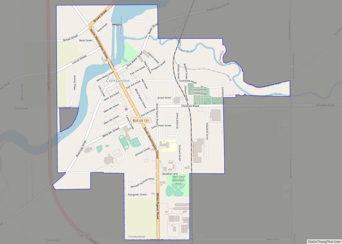
Online Interactive Map
Click on ![]() to view map in "full screen" mode.
to view map in "full screen" mode.
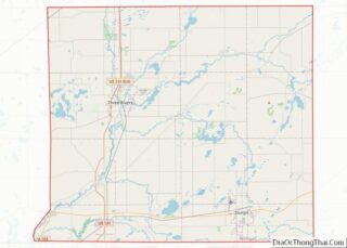
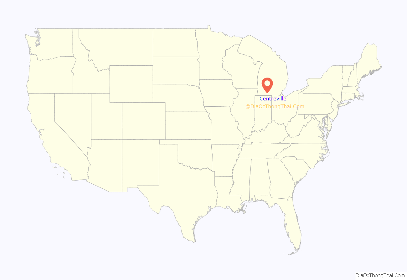
Centreville location map. Where is Centreville village?
History
Centreville developed around a tavern founded there in 1831 by European-American settler, Thomas W. Langley. It was incorporated as a village in 1837. The St. Joseph County Courthouse was built in 1842.
An Amish community, formed in 1910, is now the largest in the state.
Centreville is the location of the Langley Covered Bridge and the Leverett and Amanda Clapp House, historic landmarks.
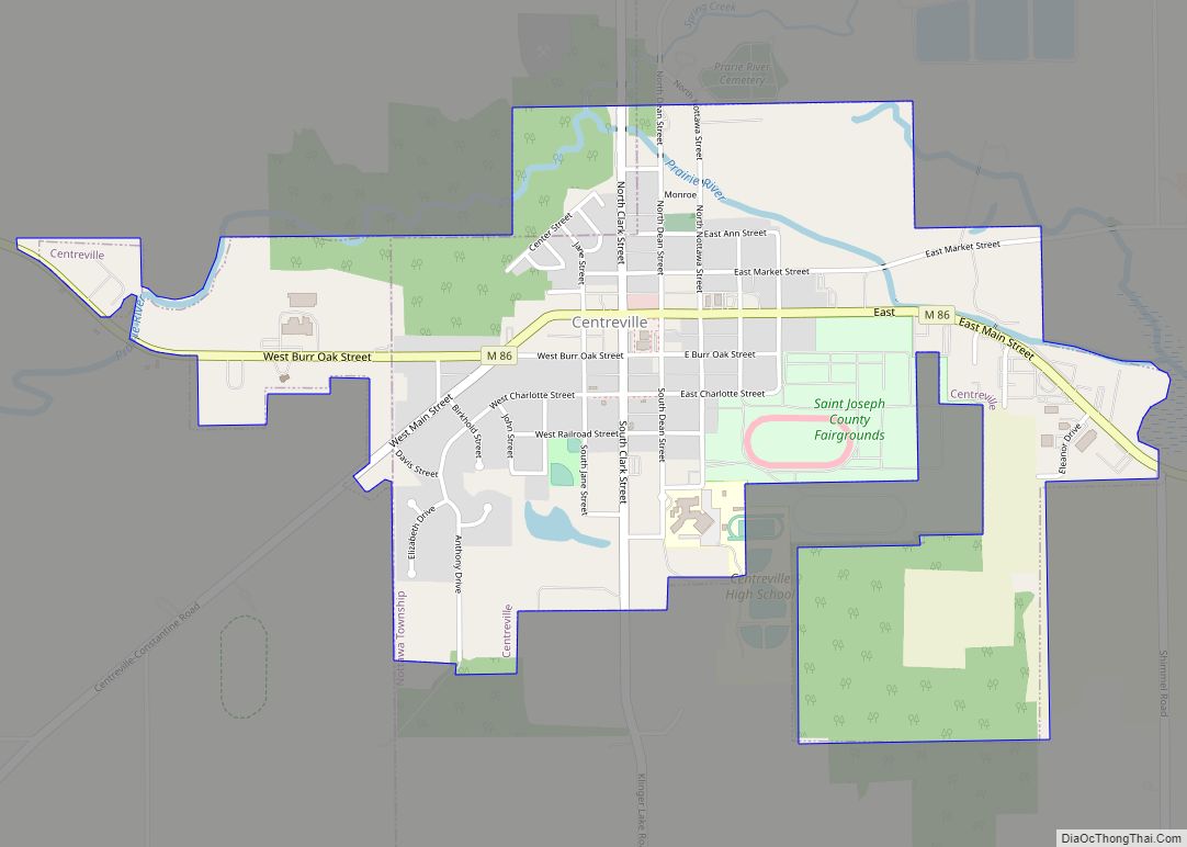
Centreville Road Map
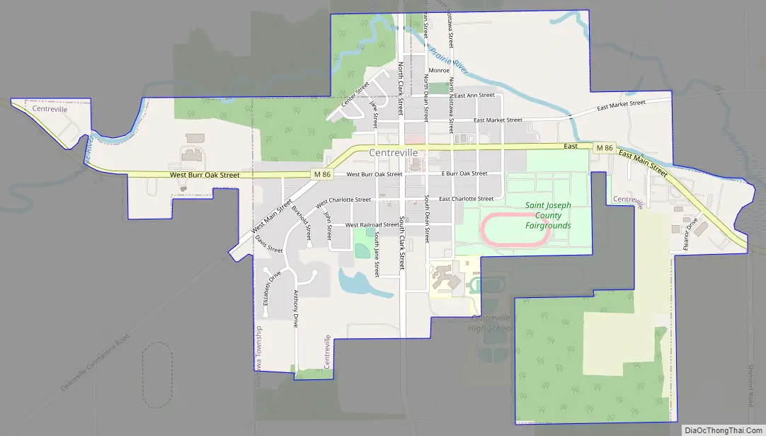
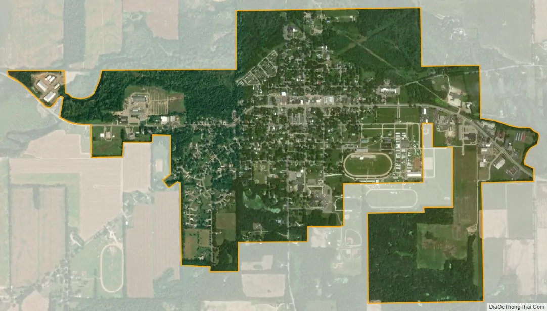
Centreville city Satellite Map
Geography
According to the United States Census Bureau, the village has a total area of 1.50 square miles (3.88 km), of which 1.49 square miles (3.86 km) is land and 0.01 square miles (0.03 km) is water.
Highways
- M-86
See also
Map of Michigan State and its subdivision:- Alcona
- Alger
- Allegan
- Alpena
- Antrim
- Arenac
- Baraga
- Barry
- Bay
- Benzie
- Berrien
- Branch
- Calhoun
- Cass
- Charlevoix
- Cheboygan
- Chippewa
- Clare
- Clinton
- Crawford
- Delta
- Dickinson
- Eaton
- Emmet
- Genesee
- Gladwin
- Gogebic
- Grand Traverse
- Gratiot
- Hillsdale
- Houghton
- Huron
- Ingham
- Ionia
- Iosco
- Iron
- Isabella
- Jackson
- Kalamazoo
- Kalkaska
- Kent
- Keweenaw
- Lake
- Lake Hurron
- Lake Michigan
- Lake St. Clair
- Lake Superior
- Lapeer
- Leelanau
- Lenawee
- Livingston
- Luce
- Mackinac
- Macomb
- Manistee
- Marquette
- Mason
- Mecosta
- Menominee
- Midland
- Missaukee
- Monroe
- Montcalm
- Montmorency
- Muskegon
- Newaygo
- Oakland
- Oceana
- Ogemaw
- Ontonagon
- Osceola
- Oscoda
- Otsego
- Ottawa
- Presque Isle
- Roscommon
- Saginaw
- Saint Clair
- Saint Joseph
- Sanilac
- Schoolcraft
- Shiawassee
- Tuscola
- Van Buren
- Washtenaw
- Wayne
- Wexford
- Alabama
- Alaska
- Arizona
- Arkansas
- California
- Colorado
- Connecticut
- Delaware
- District of Columbia
- Florida
- Georgia
- Hawaii
- Idaho
- Illinois
- Indiana
- Iowa
- Kansas
- Kentucky
- Louisiana
- Maine
- Maryland
- Massachusetts
- Michigan
- Minnesota
- Mississippi
- Missouri
- Montana
- Nebraska
- Nevada
- New Hampshire
- New Jersey
- New Mexico
- New York
- North Carolina
- North Dakota
- Ohio
- Oklahoma
- Oregon
- Pennsylvania
- Rhode Island
- South Carolina
- South Dakota
- Tennessee
- Texas
- Utah
- Vermont
- Virginia
- Washington
- West Virginia
- Wisconsin
- Wyoming