Arnaudville is a town in St. Landry and St. Martin parishes in the U.S. state of Louisiana. The St. Martin Parish portion of Arnaudville is part of the Lafayette metropolitan statistical area, while the St. Landry Parish portion is part of the Opelousas–Eunice micropolitan statistical area. At the 2020 population estimates program, it had a population of 1,041.
| Name: | Arnaudville town |
|---|---|
| LSAD Code: | 43 |
| LSAD Description: | town (suffix) |
| State: | Louisiana |
| County: | St. Landry Parish, St. Martin Parish |
| Incorporated: | 1870 |
| Elevation: | 26 ft (8 m) |
| Total Area: | 0.71 sq mi (1.83 km²) |
| Land Area: | 0.69 sq mi (1.80 km²) |
| Water Area: | 0.01 sq mi (0.04 km²) |
| Total Population: | 1,009 |
| Population Density: | 1,453.89/sq mi (561.52/km²) |
| Area code: | 337 |
| FIPS code: | 2203110 |
| Website: | www.arnaudvillela.com |
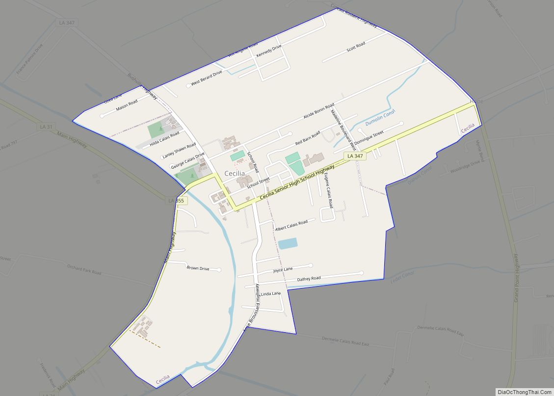
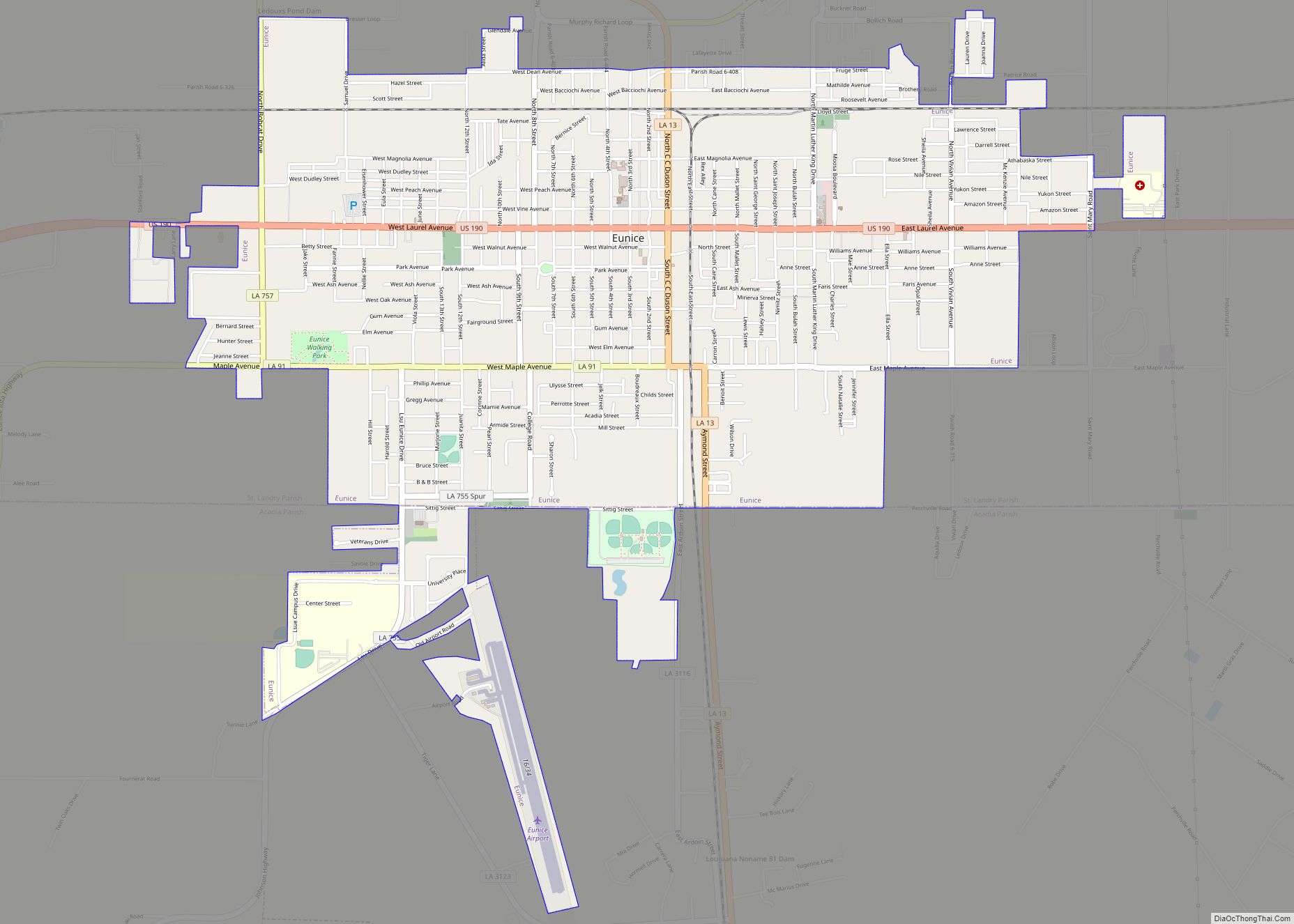
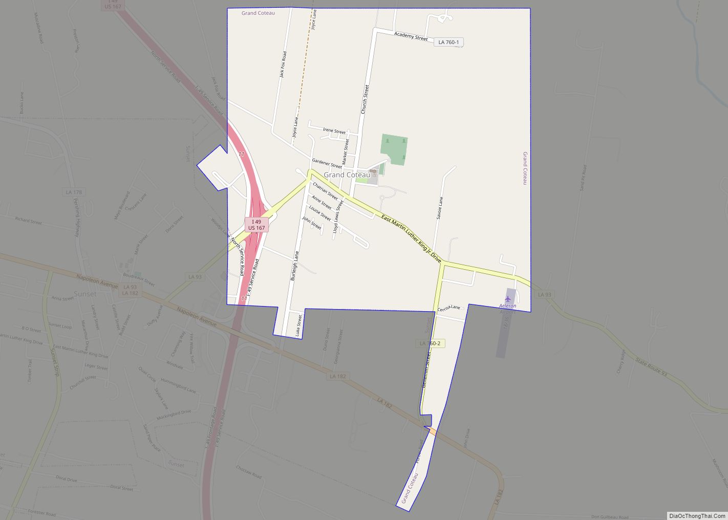
Online Interactive Map
Click on ![]() to view map in "full screen" mode.
to view map in "full screen" mode.
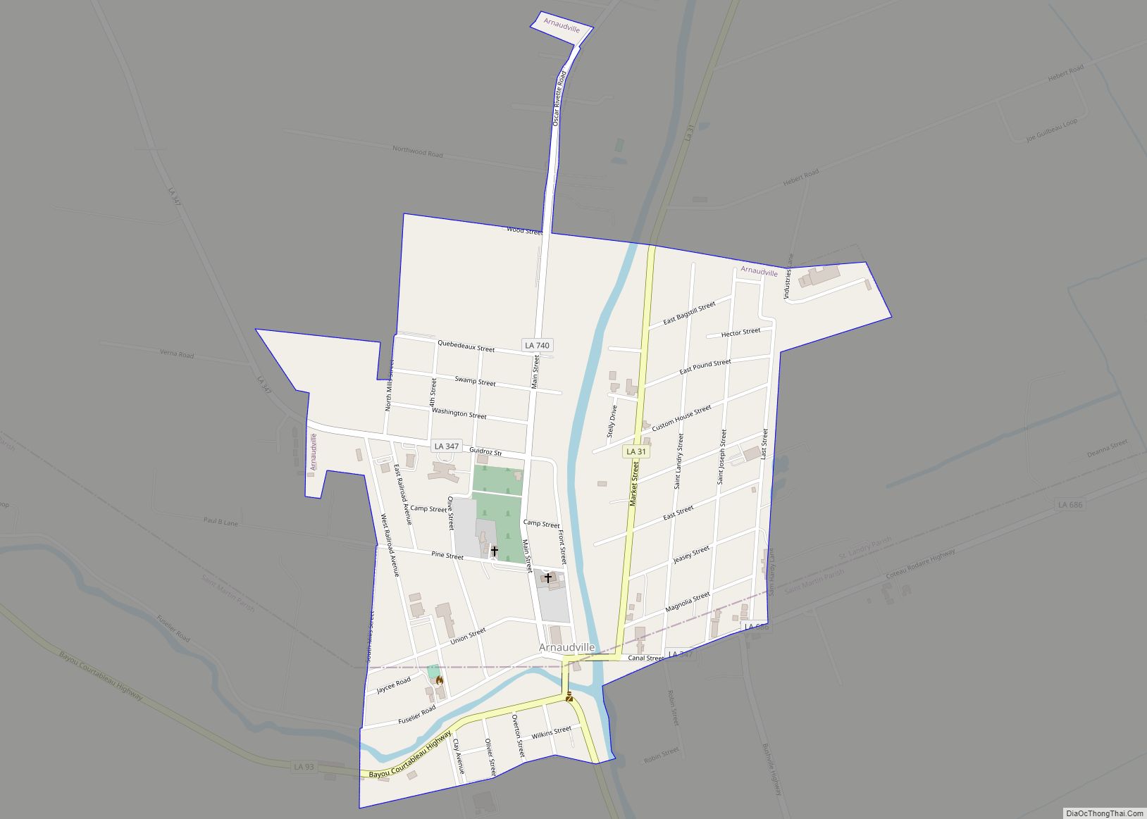
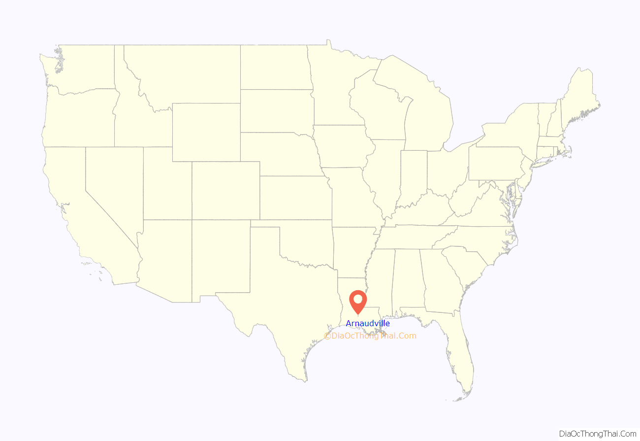
Arnaudville location map. Where is Arnaudville town?

History
On the original site of an Attakapas Indian village, Arnaudville is one of the oldest remaining towns in St. Landry Parish. First called La Murière, it was later known as La Jonction which meant “The Junction” translated from French. By the 19th century, the town was named after the Brothers Arnaud, who had donated a large amount of land to the town to make a Church for whites and blacks (which still exists today). The Arnauds were the family in which the town got its final name from, many of whose descendants still live in the area. But the French had settled the town in the late 18th century.
Arnaudville was incorporated in 1870.
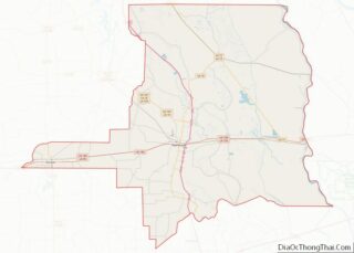
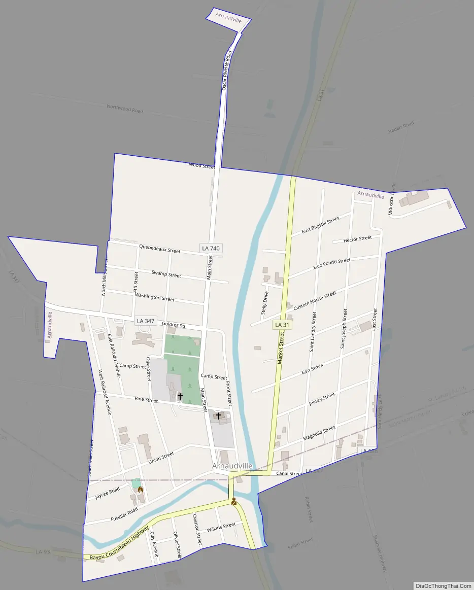
Arnaudville Road Map
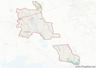
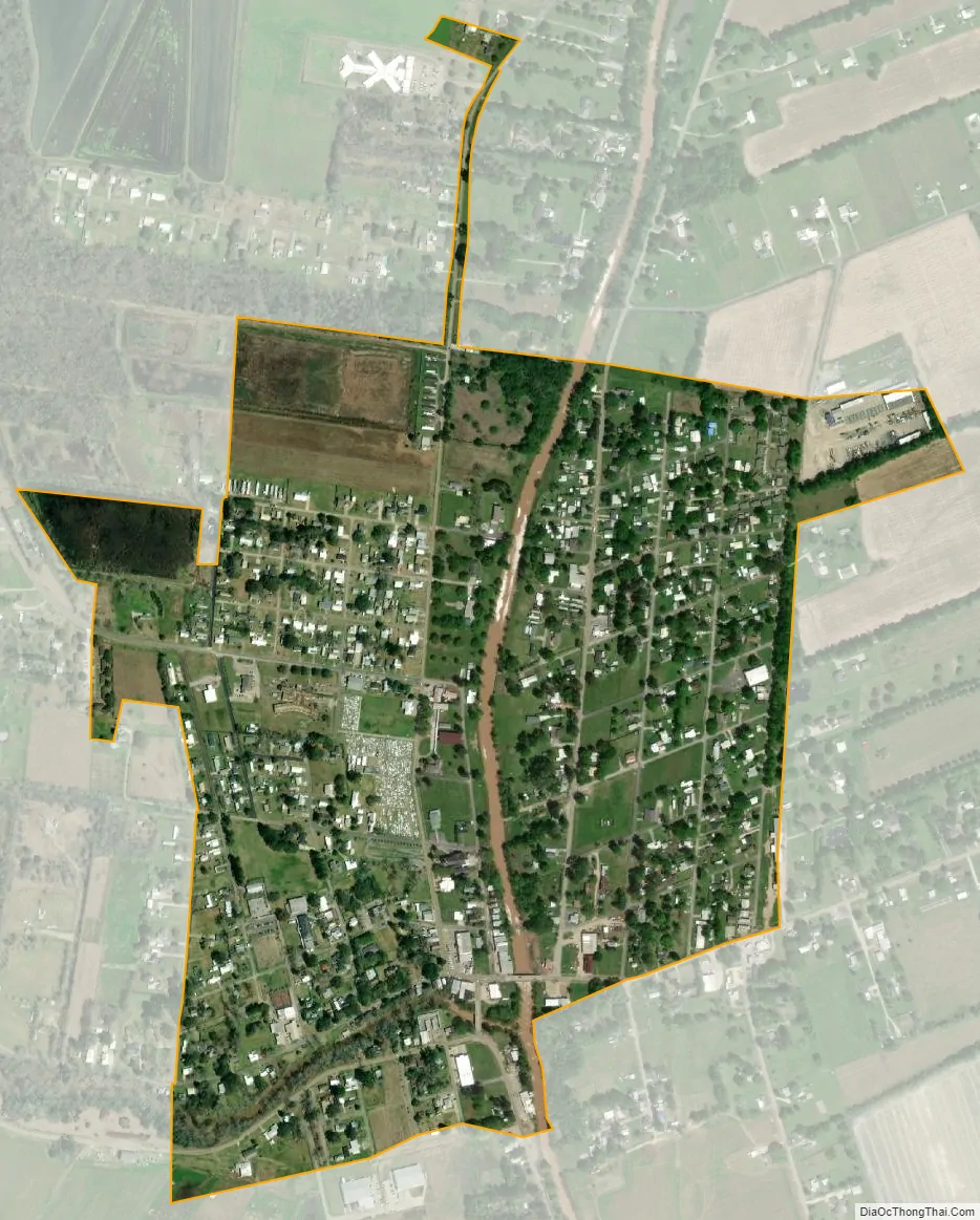
Arnaudville city Satellite Map
Geography
Arnaudville is on the Bayou Teche where the Teche crosses from St. Landry Parish into St. Martin Parish. The town is called “La Jonction” by its French-speaking citizens since Arnaudville is located at the junction of Bayou Teche and Bayou Fuselier. According to the United States Census Bureau, the town has a total area of 0.7 square mile (1.9 km), all land.
See also
Map of Louisiana State and its subdivision:- Acadia
- Allen
- Ascension
- Assumption
- Avoyelles
- Beauregard
- Bienville
- Bossier
- Caddo
- Calcasieu
- Caldwell
- Cameron
- Catahoula
- Claiborne
- Concordia
- De Soto
- East Baton Rouge
- East Carroll
- East Feliciana
- Evangeline
- Franklin
- Grant
- Iberia
- Iberville
- Jackson
- Jefferson
- Jefferson Davis
- La Salle
- Lafayette
- Lafourche
- Lincoln
- Livingston
- Madison
- Morehouse
- Natchitoches
- Orleans
- Ouachita
- Plaquemines
- Pointe Coupee
- Rapides
- Red River
- Richland
- Sabine
- Saint Bernard
- Saint Charles
- Saint Helena
- Saint James
- Saint John the Baptist
- Saint Landry
- Saint Martin
- Saint Mary
- Saint Tammany
- Tangipahoa
- Tensas
- Terrebonne
- Union
- Vermilion
- Vernon
- Washington
- Webster
- West Baton Rouge
- West Carroll
- West Feliciana
- Winn
- Alabama
- Alaska
- Arizona
- Arkansas
- California
- Colorado
- Connecticut
- Delaware
- District of Columbia
- Florida
- Georgia
- Hawaii
- Idaho
- Illinois
- Indiana
- Iowa
- Kansas
- Kentucky
- Louisiana
- Maine
- Maryland
- Massachusetts
- Michigan
- Minnesota
- Mississippi
- Missouri
- Montana
- Nebraska
- Nevada
- New Hampshire
- New Jersey
- New Mexico
- New York
- North Carolina
- North Dakota
- Ohio
- Oklahoma
- Oregon
- Pennsylvania
- Rhode Island
- South Carolina
- South Dakota
- Tennessee
- Texas
- Utah
- Vermont
- Virginia
- Washington
- West Virginia
- Wisconsin
- Wyoming