Parks is a village in St. Martin Parish, Louisiana, United States. The population was 653 at the 2010 census, and 696 at the 2020 population estimates program. It is part of the Lafayette metropolitan statistical area.
| Name: | Parks village |
|---|---|
| LSAD Code: | 47 |
| LSAD Description: | village (suffix) |
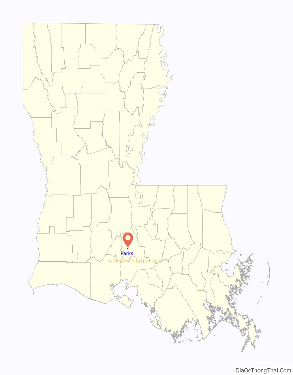
| State: | Louisiana |
| County: | St. Martin Parish |
| Founded: | 1765 |
| Elevation: | 26 ft (8 m) |
| Total Area: | 0.89 sq mi (2.30 km²) |
| Land Area: | 0.84 sq mi (2.19 km²) |
| Water Area: | 0.04 sq mi (0.11 km²) |
| Population Density: | 757.40/sq mi (292.43/km²) |
| Area code: | 337 |
| FIPS code: | 2259165 |
| Website: | www.villageofparks.com |
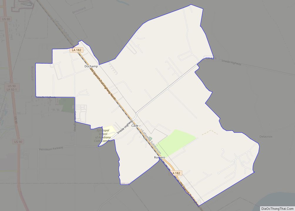
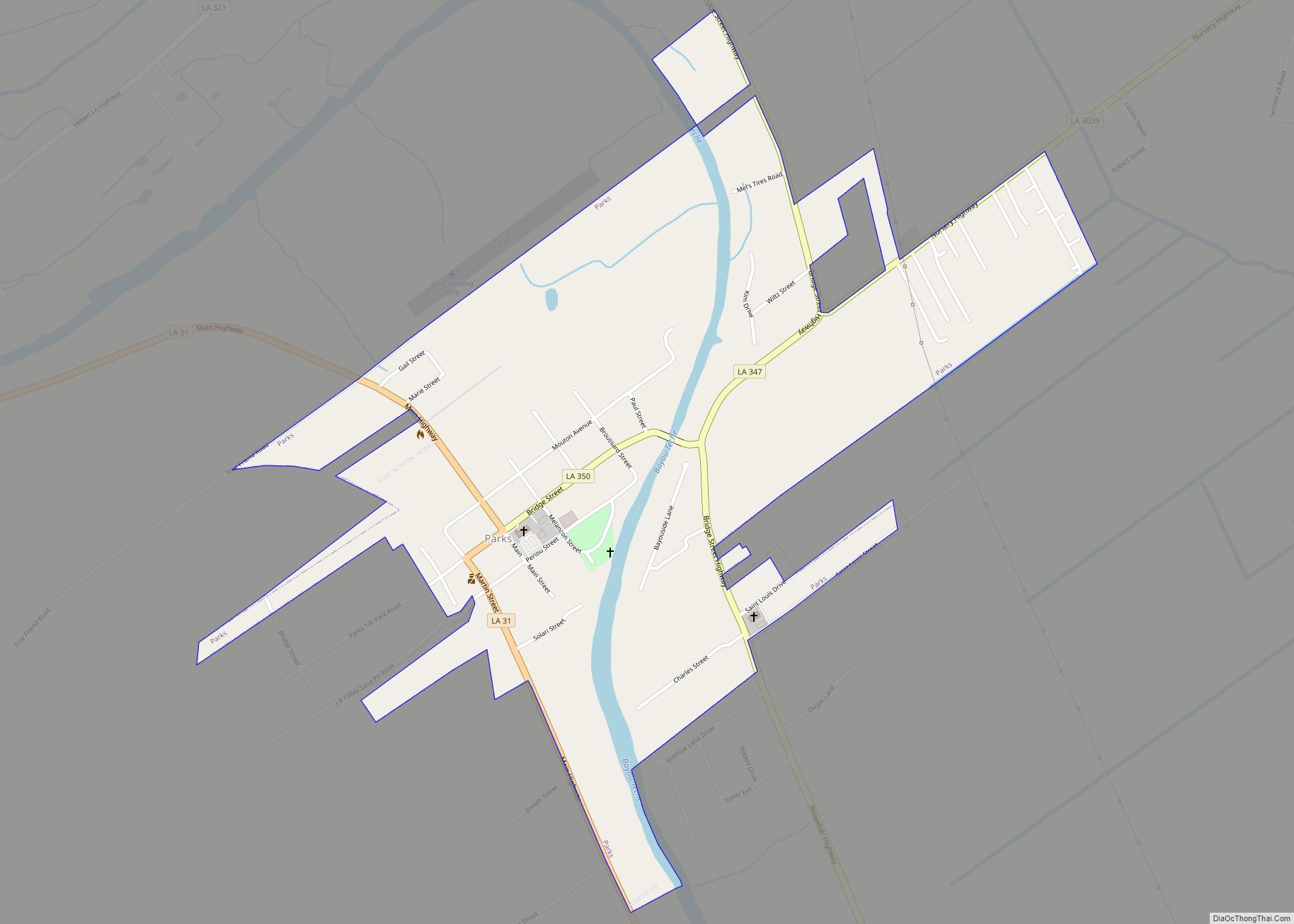
Online Interactive Map
Click on ![]() to view map in "full screen" mode.
to view map in "full screen" mode.
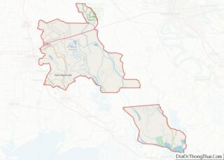
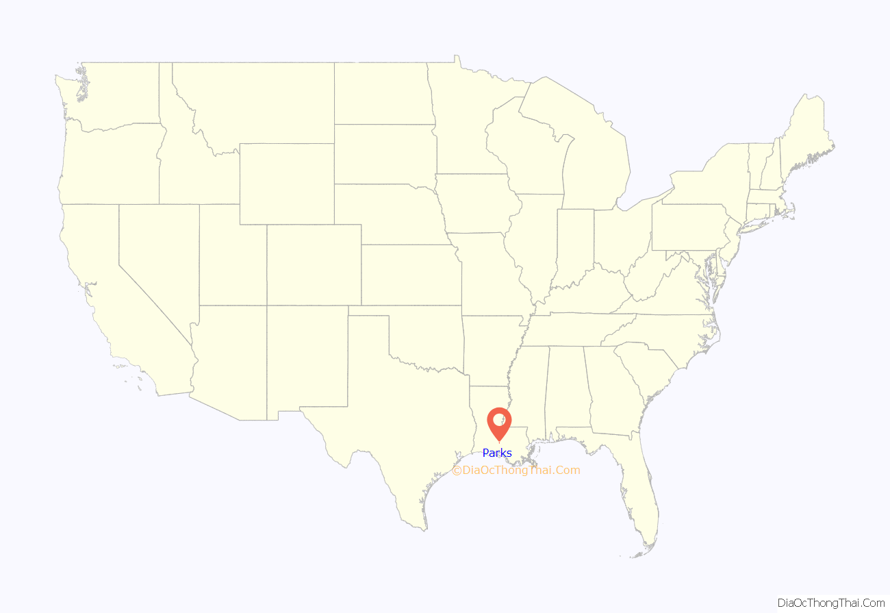
Parks location map. Where is Parks village?
History
The exact origin of the name “Parks” is somewhat of a mystery. Although some residents seem to think that it had something to do with the railroad, one story states the first train to pass through the community arrived on Easter Sunday. When the train engineer, who apparently did not speak or understand French, inquired about the name of the settlement, the residents replied “C’est Pacques” (it’s Easter). The train engineer thought he understood the word Parks, and the name apparently stuck.
Parks, originally called Potier, lies in the area previously known as La Pointe District, which existed in 1765. It was also called La Pointe de Repose, supposedly because the cowhands in the early 19th century drove their cattle into the cul-de-sac formed by the sharp bend of the bayou on round up time.
Settlement began in the Parks village shortly after 1900. Around that time, Paul Melancon purchased a large tract of land in the vicinity of what is now Parks in order to establish a cotton farm. But, shortly after buying the property, he decided to divide a portion into town lots and the community took shape. In 1908, the village of 330 acres was incorporated. Since that time, Parks has remained approximately the same size.
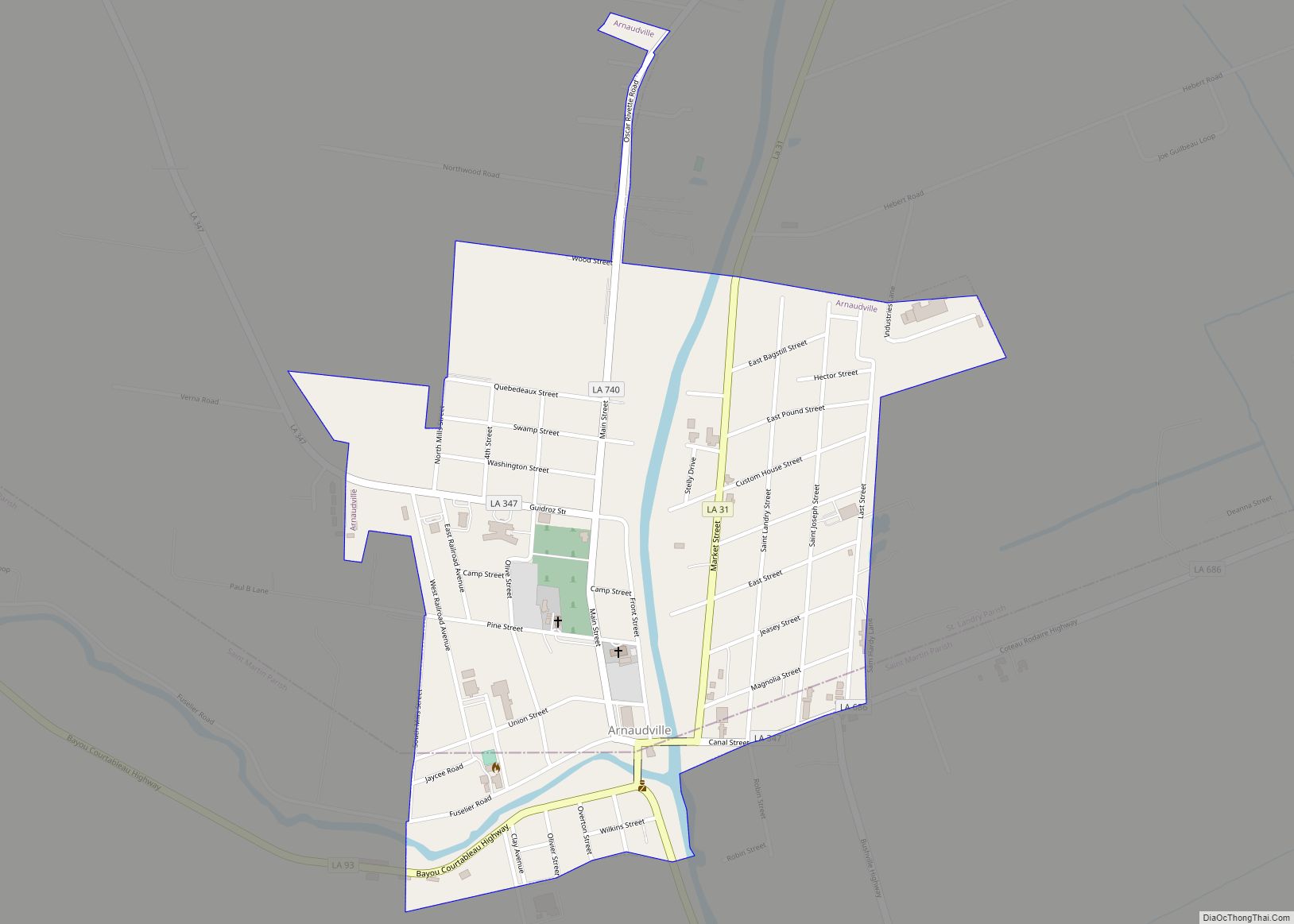
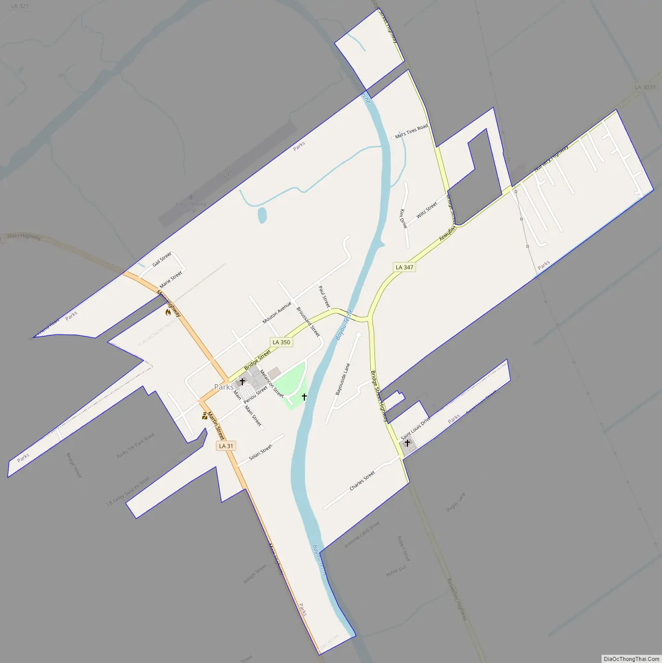
Parks Road Map
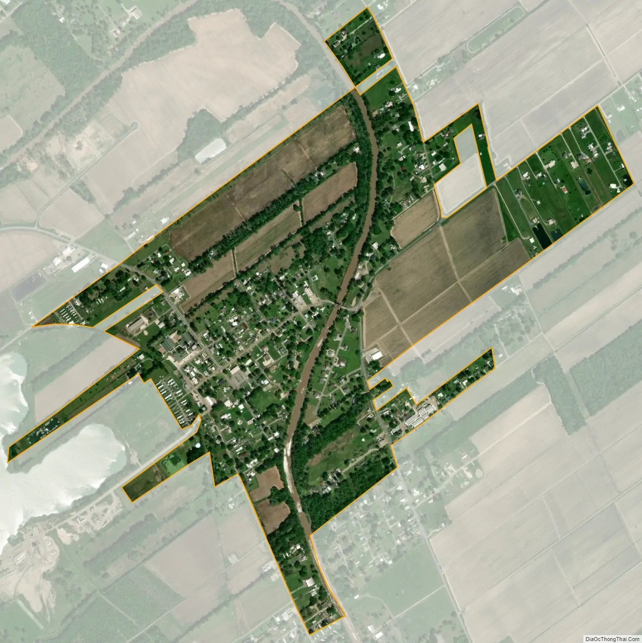
Parks city Satellite Map
Geography
Parks is located at 30°12′56″N 91°49′46″W / 30.21556°N 91.82944°W / 30.21556; -91.82944 (30.215675, -91.829472), in the region of Acadiana in southern Louisiana. Highways 31 and 347, which both parallel the Bayou Teche, pass through the village with the cities of Breaux Bridge being located 7 miles (11 km) northwest and St. Martinville, the parish seat, located 7 miles (11 km) to the south. According to the United States Census Bureau, the village has a total area of 0.8 square miles (2.1 km), all land.
See also
Map of Louisiana State and its subdivision:- Acadia
- Allen
- Ascension
- Assumption
- Avoyelles
- Beauregard
- Bienville
- Bossier
- Caddo
- Calcasieu
- Caldwell
- Cameron
- Catahoula
- Claiborne
- Concordia
- De Soto
- East Baton Rouge
- East Carroll
- East Feliciana
- Evangeline
- Franklin
- Grant
- Iberia
- Iberville
- Jackson
- Jefferson
- Jefferson Davis
- La Salle
- Lafayette
- Lafourche
- Lincoln
- Livingston
- Madison
- Morehouse
- Natchitoches
- Orleans
- Ouachita
- Plaquemines
- Pointe Coupee
- Rapides
- Red River
- Richland
- Sabine
- Saint Bernard
- Saint Charles
- Saint Helena
- Saint James
- Saint John the Baptist
- Saint Landry
- Saint Martin
- Saint Mary
- Saint Tammany
- Tangipahoa
- Tensas
- Terrebonne
- Union
- Vermilion
- Vernon
- Washington
- Webster
- West Baton Rouge
- West Carroll
- West Feliciana
- Winn
- Alabama
- Alaska
- Arizona
- Arkansas
- California
- Colorado
- Connecticut
- Delaware
- District of Columbia
- Florida
- Georgia
- Hawaii
- Idaho
- Illinois
- Indiana
- Iowa
- Kansas
- Kentucky
- Louisiana
- Maine
- Maryland
- Massachusetts
- Michigan
- Minnesota
- Mississippi
- Missouri
- Montana
- Nebraska
- Nevada
- New Hampshire
- New Jersey
- New Mexico
- New York
- North Carolina
- North Dakota
- Ohio
- Oklahoma
- Oregon
- Pennsylvania
- Rhode Island
- South Carolina
- South Dakota
- Tennessee
- Texas
- Utah
- Vermont
- Virginia
- Washington
- West Virginia
- Wisconsin
- Wyoming