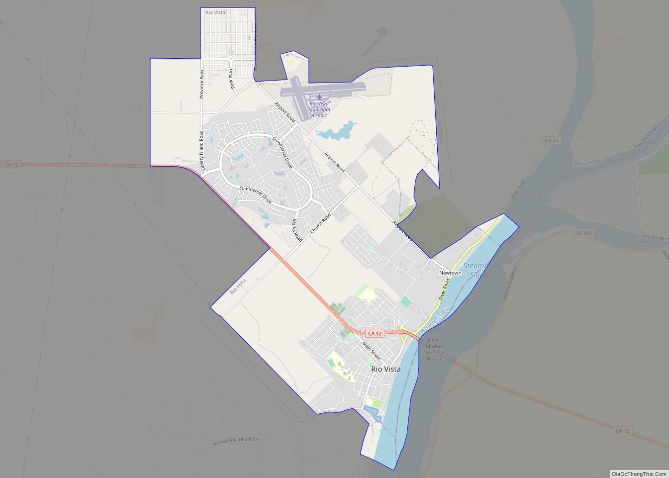
Dixon is a city in northern Solano County, California, United States, located 23 miles (37 km) from the state capital, Sacramento. It has a hot-summer mediterranean climate on the Köppen climate classification scale. Its population was 18,988 at the 2020 census. Other nearby cities include Vacaville, Winters, Davis, Woodland, and Rio Vista.
| Name: | Dixon city |
|---|---|
| LSAD Code: | 25 |
| LSAD Description: | city (suffix) |
| State: | California |
| County: | Solano County |
| Incorporated: | March 30, 1878 |
| Elevation: | 62 ft (19 m) |
| Total Area: | 7.20 sq mi (18.64 km²) |
| Land Area: | 7.10 sq mi (18.39 km²) |
| Water Area: | 0.10 sq mi (0.25 km²) 1.36% |
| Total Population: | 18,988 |
| Population Density: | 2,674.37/sq mi (1,032.53/km²) |
| ZIP code: | 95620 |
| Area code: | 707 |
| FIPS code: | 0619402 |
| Website: | www.cityofdixon.us |
Online Interactive Map
Click on ![]() to view map in "full screen" mode.
to view map in "full screen" mode.
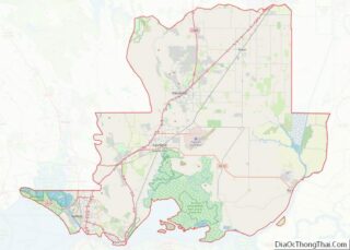
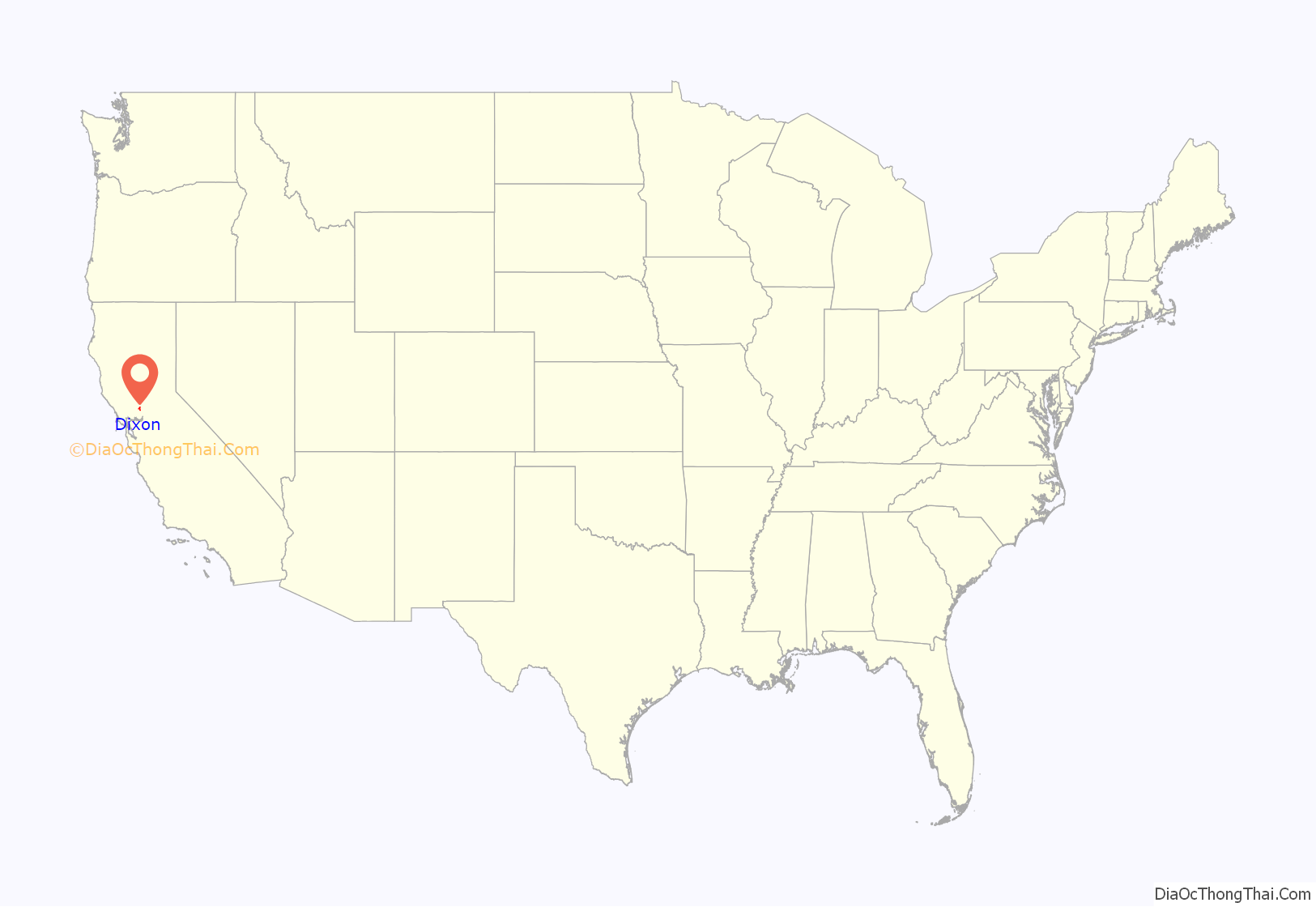
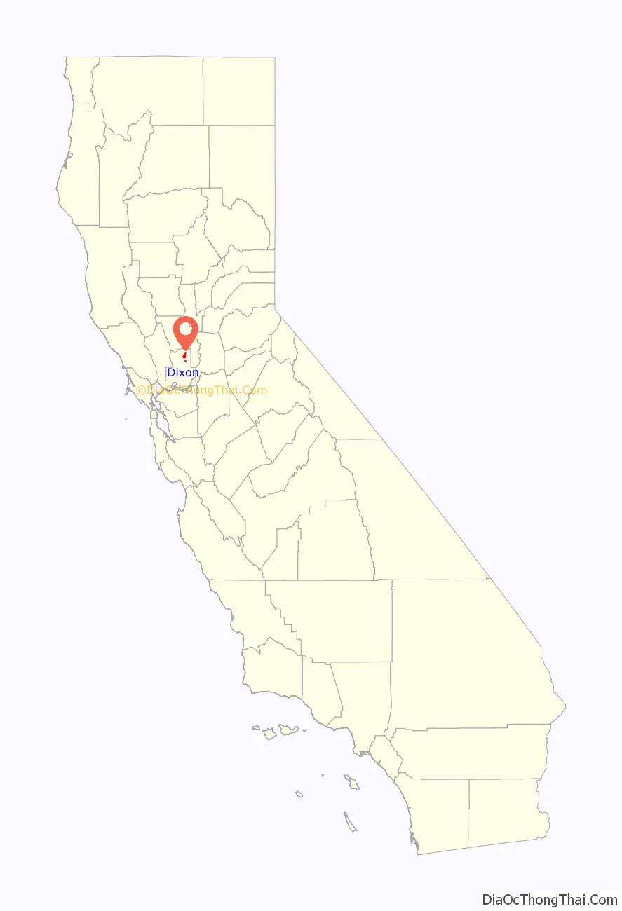
Dixon location map. Where is Dixon city?
History
The first semi-permanent European settlement to develop in the Dixon area emerged during the California Gold Rush of the mid-19th century when the community of Silveyville was founded in 1852 by Elijah Silvey as a halfway point between the Pacific coast and the rich gold fields of Sacramento along a route commonly traveled by miners. In 1868, Central Pacific railroad came through the area and missed Silveyville by a few miles. As a result, local leaders decided to physically relocate Silveyville closer to the tracks in order to enjoy the benefits of commerce and travel. One of the first buildings that still stands in Dixon from the 1871 move is the Dixon Methodist Church located at 209 N. Jefferson Street.
Originally, the city was named “Dicksville” after Thomas Dickson who donated 10 acres of his land for the construction of a railroad depot following the completion of the tracks and subsequent relocation of Silveyville to the now-Dixon area. However, when the first rail shipment of merchandise arrived from San Francisco in 1872, it was mistakenly addressed to “Dixon”—a name that has been used since, mainly out of simplicity. Up to now, the urban landscape of the town can be seen to have developed mostly in between the railroad tracks and Interstate-80.
As of 2022 the Dixon city council consists of Steve Bird, Mayor, Scott Pederson, Vice Mayor, representing District 1, Jim Ernest, representing District 2, Kevin Johnson, representing District 3, and Don Hendershot, representing District 4.
The city operates a municipal police and fire department, and water system & wastewater treatment plant.
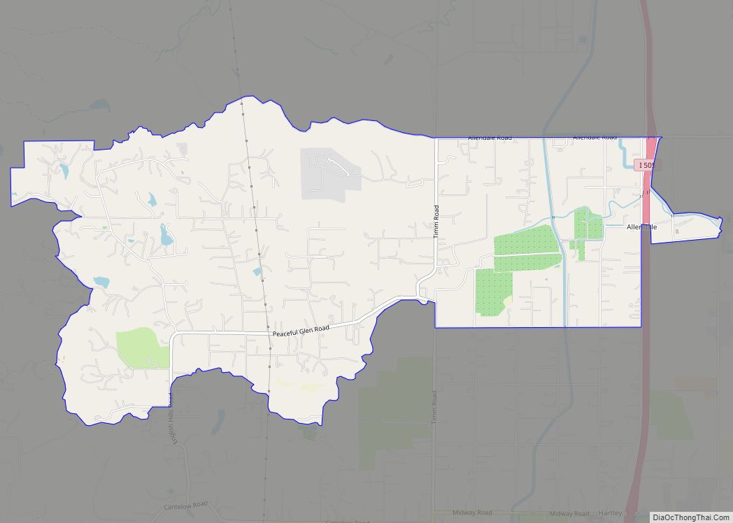
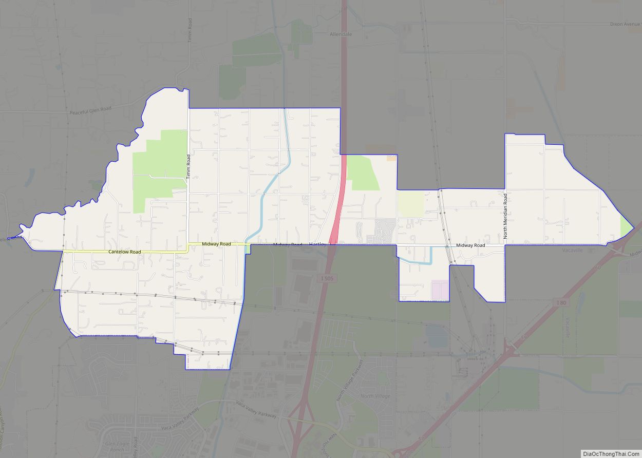
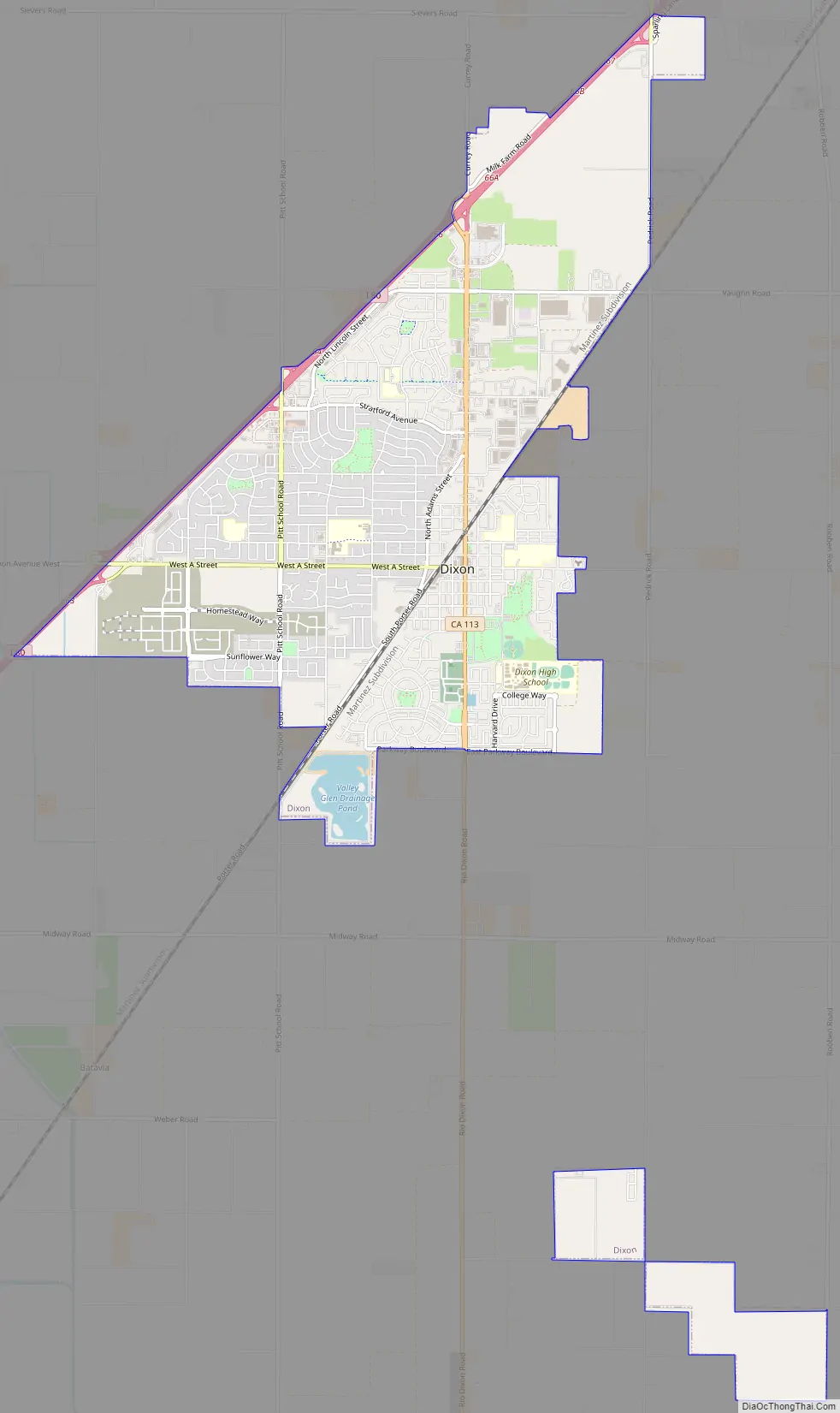
Dixon Road Map
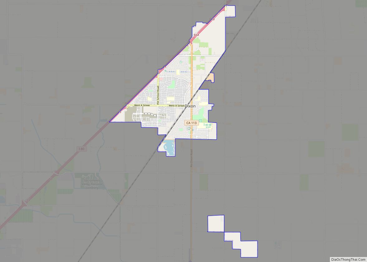
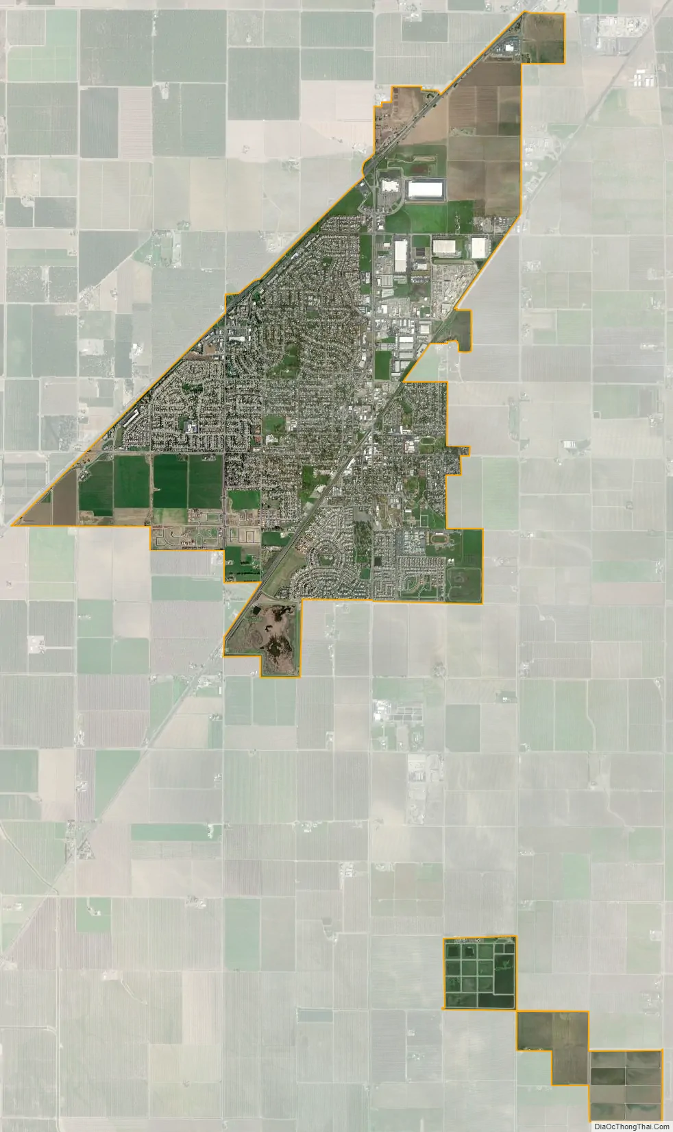
Dixon city Satellite Map
Geography
Dixon is located at 38°26′57″N 121°49′37″W / 38.44917°N 121.82694°W / 38.44917; -121.82694 (38.449108, -121.826872).
According to the United States Census Bureau, the city has a total area of 7.1 square miles (18 km), of which, 7.0 square miles (18 km) of it is land and 0.1 square miles (0.26 km) of it (1.36%) is water.
See also
Map of California State and its subdivision:- Alameda
- Alpine
- Amador
- Butte
- Calaveras
- Colusa
- Contra Costa
- Del Norte
- El Dorado
- Fresno
- Glenn
- Humboldt
- Imperial
- Inyo
- Kern
- Kings
- Lake
- Lassen
- Los Angeles
- Madera
- Marin
- Mariposa
- Mendocino
- Merced
- Modoc
- Mono
- Monterey
- Napa
- Nevada
- Orange
- Placer
- Plumas
- Riverside
- Sacramento
- San Benito
- San Bernardino
- San Diego
- San Francisco
- San Joaquin
- San Luis Obispo
- San Mateo
- Santa Barbara
- Santa Clara
- Santa Cruz
- Shasta
- Sierra
- Siskiyou
- Solano
- Sonoma
- Stanislaus
- Sutter
- Tehama
- Trinity
- Tulare
- Tuolumne
- Ventura
- Yolo
- Yuba
- Alabama
- Alaska
- Arizona
- Arkansas
- California
- Colorado
- Connecticut
- Delaware
- District of Columbia
- Florida
- Georgia
- Hawaii
- Idaho
- Illinois
- Indiana
- Iowa
- Kansas
- Kentucky
- Louisiana
- Maine
- Maryland
- Massachusetts
- Michigan
- Minnesota
- Mississippi
- Missouri
- Montana
- Nebraska
- Nevada
- New Hampshire
- New Jersey
- New Mexico
- New York
- North Carolina
- North Dakota
- Ohio
- Oklahoma
- Oregon
- Pennsylvania
- Rhode Island
- South Carolina
- South Dakota
- Tennessee
- Texas
- Utah
- Vermont
- Virginia
- Washington
- West Virginia
- Wisconsin
- Wyoming