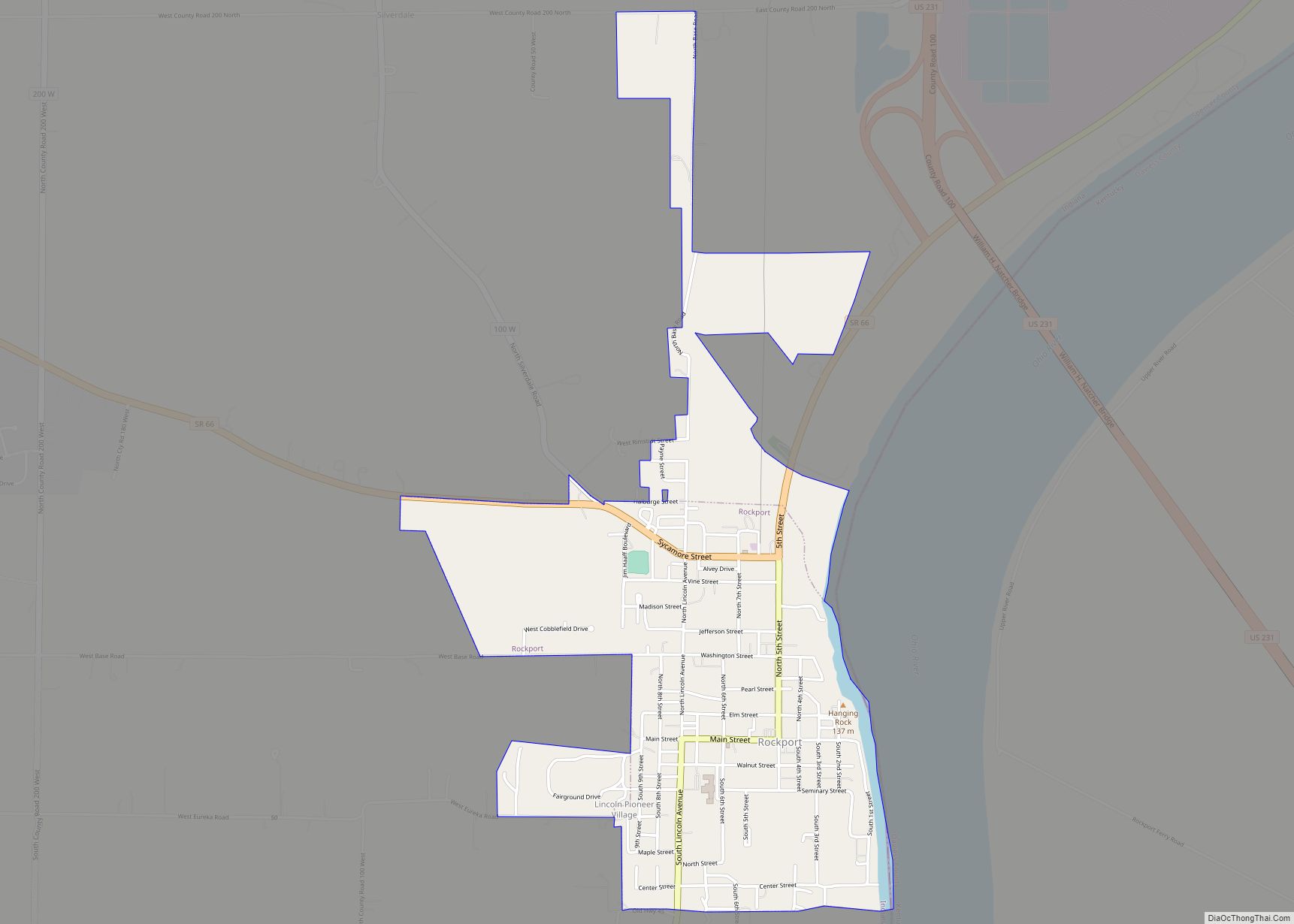
Rockport is a city in Ohio Township and the county seat of Spencer County, Indiana, along the Ohio River. The population was 2,270 at the 2010 census. Once the largest community in Spencer County, the city has recently been surpassed by the town of Santa Claus. At 37°53’1″ north, Rockport is also the southernmost city in the state, located slightly south of Evansville, Cannelton, or Mount Vernon (the westernmost city).
| Name: | Rockport city |
|---|---|
| LSAD Code: | 25 |
| LSAD Description: | city (suffix) |
| State: | Indiana |
| County: | Spencer County |
| Elevation: | 387 ft (118 m) |
| Total Area: | 1.69 sq mi (4.37 km²) |
| Land Area: | 1.66 sq mi (4.29 km²) |
| Water Area: | 0.03 sq mi (0.08 km²) 1.88% |
| Total Population: | 1,984 |
| Population Density: | 1,196.62/sq mi (462.07/km²) |
| ZIP code: | 47635 |
| Area code: | 812 |
| FIPS code: | 1865484 |
| GNISfeature ID: | 2396408 |
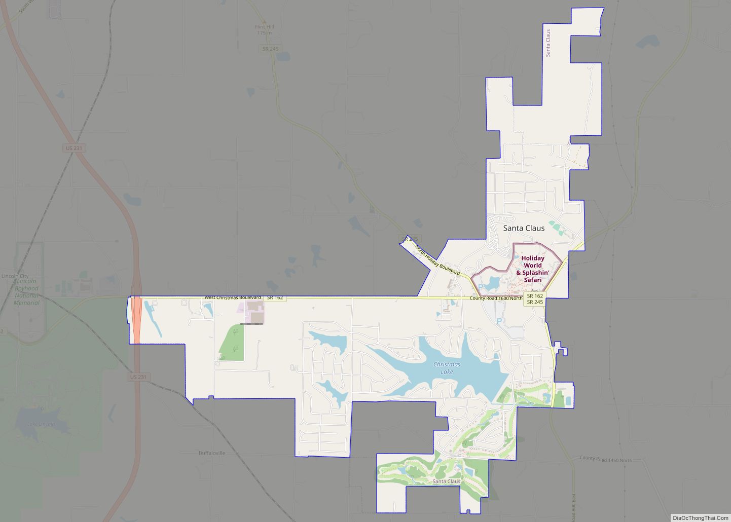
Online Interactive Map
Click on ![]() to view map in "full screen" mode.
to view map in "full screen" mode.
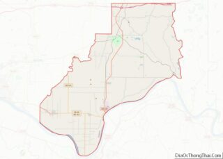
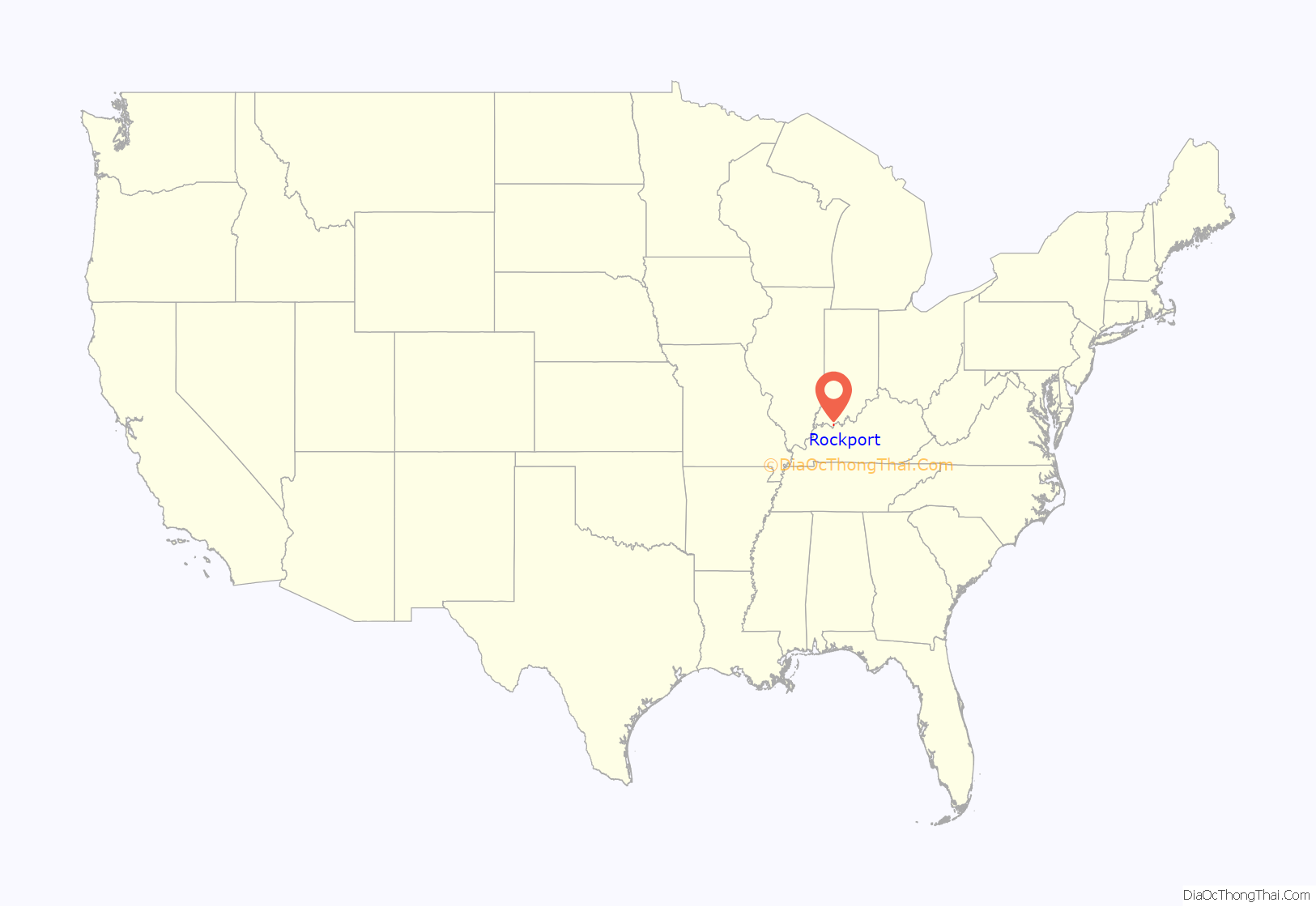
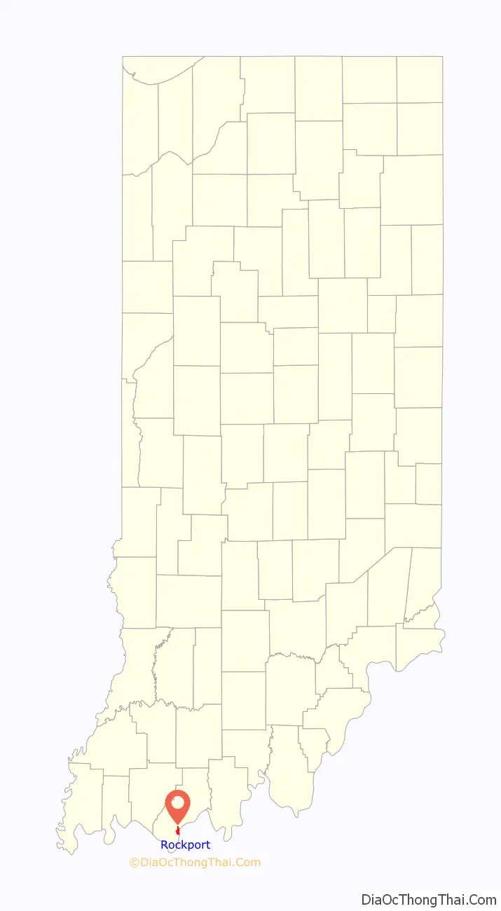
Rockport location map. Where is Rockport city?
History
Lots were first sold in Rockport in 1818. The town received its name from rock outcroppings on the Ohio River.
Three locations in Rockport are listed on the National Register of Historic Places: the Spencer County Courthouse, the Mathias Sharp House, and the Lincoln Pioneer Village.
The Rockport post office has been in operation since 1823.
The AK Steel facility in Rockport is reported by the EPA as the source for 70% of the pollution in the Ohio River, the nation’s most polluted waterway.
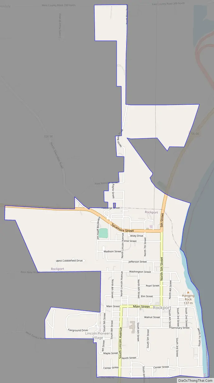
Rockport Road Map
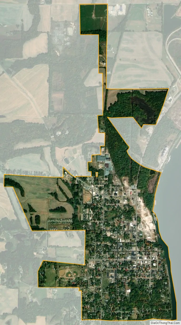
Rockport city Satellite Map
Geography
According to the 2010 census, Rockport has a total area of 1.604 square miles (4.15 km), of which 1.57 square miles (4.07 km) (or 97.88%) is land and 0.034 square miles (0.09 km) (or 2.12%) is water.
Rockport is nestled on the Ohio River across from Owensboro, Kentucky. It is home to the Rockport Generating Station, a coal power plant which is scheduled to close by 2028 due to the pollution it causes. It is connected to Owensboro by the William H. Natcher Bridge via U.S. Route 231.
See also
Map of Indiana State and its subdivision:- Adams
- Allen
- Bartholomew
- Benton
- Blackford
- Boone
- Brown
- Carroll
- Cass
- Clark
- Clay
- Clinton
- Crawford
- Daviess
- De Kalb
- Dearborn
- Decatur
- Delaware
- Dubois
- Elkhart
- Fayette
- Floyd
- Fountain
- Franklin
- Fulton
- Gibson
- Grant
- Greene
- Hamilton
- Hancock
- Harrison
- Hendricks
- Henry
- Howard
- Huntington
- Jackson
- Jasper
- Jay
- Jefferson
- Jennings
- Johnson
- Knox
- Kosciusko
- LaGrange
- Lake
- Lake Michigan
- LaPorte
- Lawrence
- Madison
- Marion
- Marshall
- Martin
- Miami
- Monroe
- Montgomery
- Morgan
- Newton
- Noble
- Ohio
- Orange
- Owen
- Parke
- Perry
- Pike
- Porter
- Posey
- Pulaski
- Putnam
- Randolph
- Ripley
- Rush
- Saint Joseph
- Scott
- Shelby
- Spencer
- Starke
- Steuben
- Sullivan
- Switzerland
- Tippecanoe
- Tipton
- Union
- Vanderburgh
- Vermillion
- Vigo
- Wabash
- Warren
- Warrick
- Washington
- Wayne
- Wells
- White
- Whitley
- Alabama
- Alaska
- Arizona
- Arkansas
- California
- Colorado
- Connecticut
- Delaware
- District of Columbia
- Florida
- Georgia
- Hawaii
- Idaho
- Illinois
- Indiana
- Iowa
- Kansas
- Kentucky
- Louisiana
- Maine
- Maryland
- Massachusetts
- Michigan
- Minnesota
- Mississippi
- Missouri
- Montana
- Nebraska
- Nevada
- New Hampshire
- New Jersey
- New Mexico
- New York
- North Carolina
- North Dakota
- Ohio
- Oklahoma
- Oregon
- Pennsylvania
- Rhode Island
- South Carolina
- South Dakota
- Tennessee
- Texas
- Utah
- Vermont
- Virginia
- Washington
- West Virginia
- Wisconsin
- Wyoming