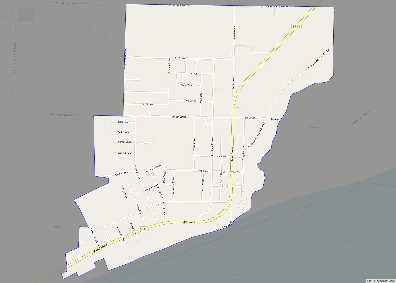
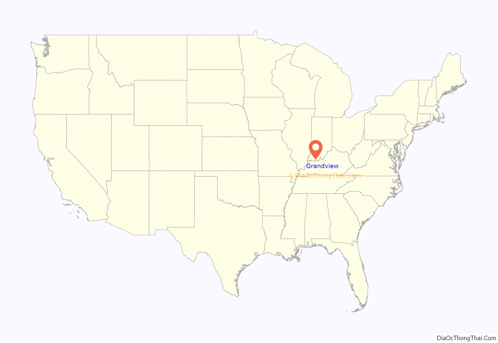
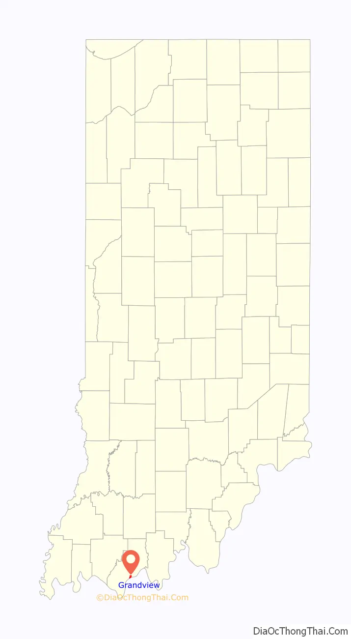
Grandview is a town in Hammond Township, Spencer County, Indiana, along the Ohio River. The population was 749 at the 2010 census.
| Name: | Grandview town |
|---|---|
| LSAD Code: | 43 |
| LSAD Description: | town (suffix) |
| State: | Indiana |
| County: | Spencer County |
| Elevation: | 387 ft (118 m) |
| Total Area: | 0.96 sq mi (2.49 km²) |
| Land Area: | 0.96 sq mi (2.48 km²) |
| Water Area: | 0.00 sq mi (0.00 km²) |
| Total Population: | 698 |
| Population Density: | 727.84/sq mi (281.04/km²) |
| ZIP code: | 47615 |
| Area code: | 812 |
| FIPS code: | 1828692 |
| GNISfeature ID: | 2396970 |
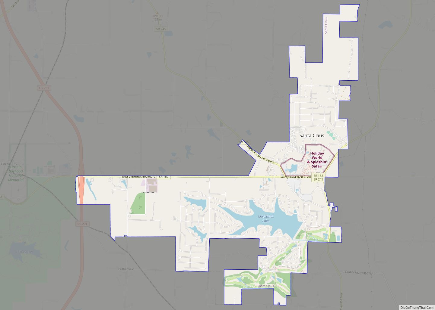
Online Interactive Map
Click on ![]() to view map in "full screen" mode.
to view map in "full screen" mode.
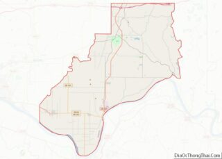
Grandview location map. Where is Grandview town?
History
Grandview was laid out in 1851. The town received its name because of the “grand view” of the Ohio River. A post office has been in operation at Grandview since 1854.
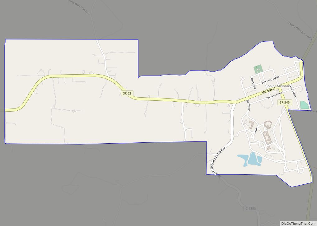
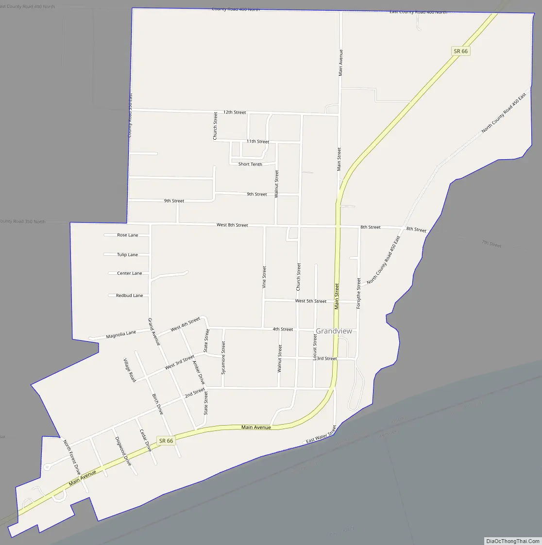
Grandview Road Map
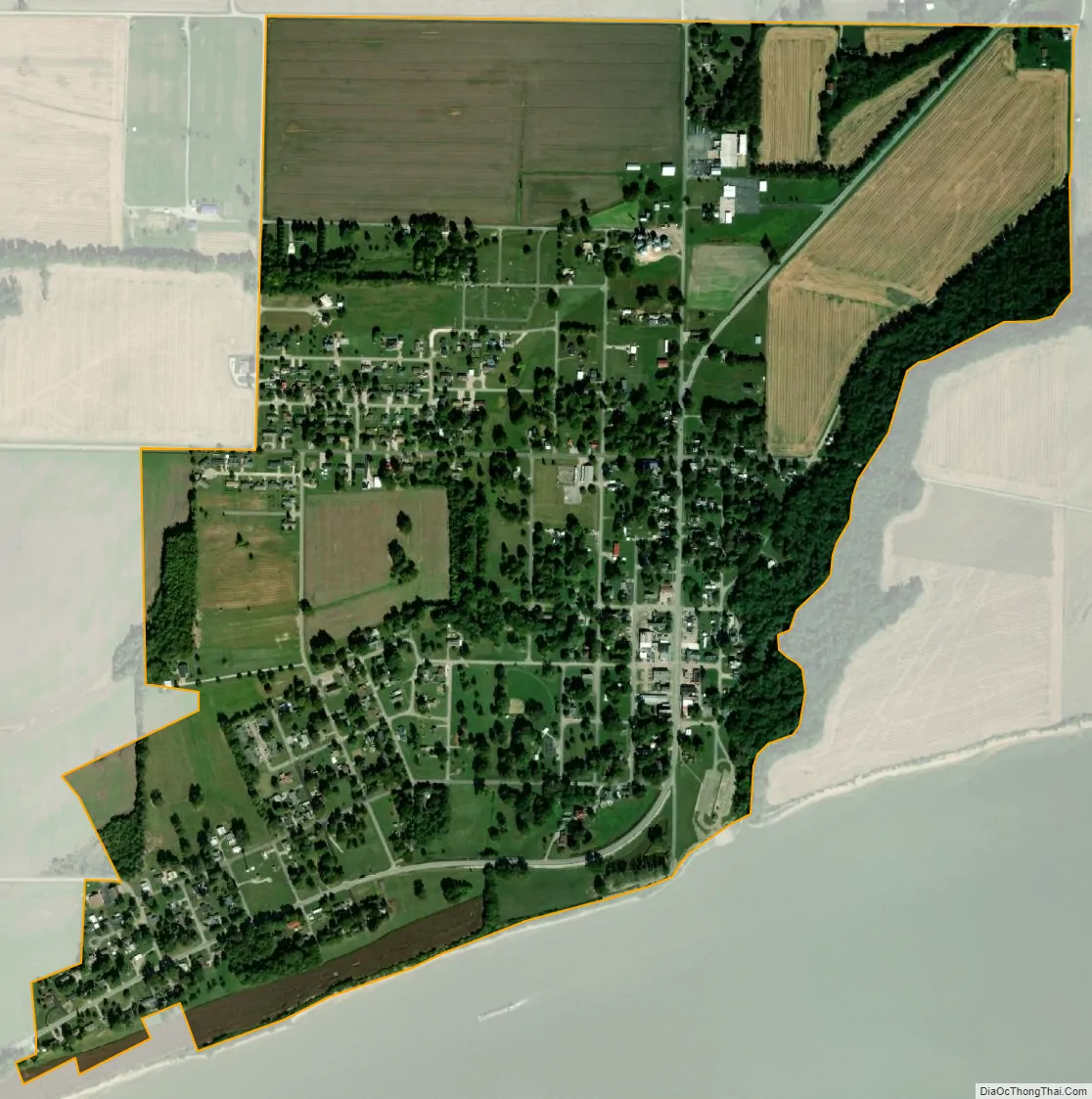
Grandview city Satellite Map
Geography
Grandview is situated along the Ohio River at river mile 742, just upstream from Rockport, Indiana, and downstream from Lewisport, Kentucky. The Rockport Generating Station lies just west of Grandview. Indiana State Road 66 connects Grandview with Rockport to the southwest and the Tell City area to the northeast.
According to the 2010 census, Grandview has a total area of 0.96 square miles (2.49 km), all land.
See also
Map of Indiana State and its subdivision:- Adams
- Allen
- Bartholomew
- Benton
- Blackford
- Boone
- Brown
- Carroll
- Cass
- Clark
- Clay
- Clinton
- Crawford
- Daviess
- De Kalb
- Dearborn
- Decatur
- Delaware
- Dubois
- Elkhart
- Fayette
- Floyd
- Fountain
- Franklin
- Fulton
- Gibson
- Grant
- Greene
- Hamilton
- Hancock
- Harrison
- Hendricks
- Henry
- Howard
- Huntington
- Jackson
- Jasper
- Jay
- Jefferson
- Jennings
- Johnson
- Knox
- Kosciusko
- LaGrange
- Lake
- Lake Michigan
- LaPorte
- Lawrence
- Madison
- Marion
- Marshall
- Martin
- Miami
- Monroe
- Montgomery
- Morgan
- Newton
- Noble
- Ohio
- Orange
- Owen
- Parke
- Perry
- Pike
- Porter
- Posey
- Pulaski
- Putnam
- Randolph
- Ripley
- Rush
- Saint Joseph
- Scott
- Shelby
- Spencer
- Starke
- Steuben
- Sullivan
- Switzerland
- Tippecanoe
- Tipton
- Union
- Vanderburgh
- Vermillion
- Vigo
- Wabash
- Warren
- Warrick
- Washington
- Wayne
- Wells
- White
- Whitley
- Alabama
- Alaska
- Arizona
- Arkansas
- California
- Colorado
- Connecticut
- Delaware
- District of Columbia
- Florida
- Georgia
- Hawaii
- Idaho
- Illinois
- Indiana
- Iowa
- Kansas
- Kentucky
- Louisiana
- Maine
- Maryland
- Massachusetts
- Michigan
- Minnesota
- Mississippi
- Missouri
- Montana
- Nebraska
- Nevada
- New Hampshire
- New Jersey
- New Mexico
- New York
- North Carolina
- North Dakota
- Ohio
- Oklahoma
- Oregon
- Pennsylvania
- Rhode Island
- South Carolina
- South Dakota
- Tennessee
- Texas
- Utah
- Vermont
- Virginia
- Washington
- West Virginia
- Wisconsin
- Wyoming