Saint Meinrad is a census-designated place (CDP) in Harrison Township, Spencer County, Indiana, United States. Located along the Anderson River, it is home to the St. Meinrad Archabbey. Interstate 64 runs near the CDP, and it is situated about 55 miles east of Evansville. Because of the archabbey, St. Meinrad, along with Harrison Township, is assigned to the Archdiocese of Indianapolis. The rest of Spencer County is within the borders of the much closer Diocese of Evansville.
| Name: | St. Meinrad CDP |
|---|---|
| LSAD Code: | 57 |
| LSAD Description: | CDP (suffix) |
| State: | Indiana |
| County: | Spencer County |
| Elevation: | 551 ft (168 m) |
| Total Area: | 1.70 sq mi (4.41 km²) |
| Land Area: | 1.68 sq mi (4.36 km²) |
| Water Area: | 0.02 sq mi (0.06 km²) |
| Total Population: | 664 |
| Population Density: | 394.77/sq mi (152.39/km²) |
| ZIP code: | 47577 |
| Area code: | 812, 930 |
| FIPS code: | 1867176 |
| GNISfeature ID: | 2629884 |
Online Interactive Map
Click on ![]() to view map in "full screen" mode.
to view map in "full screen" mode.
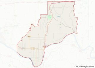
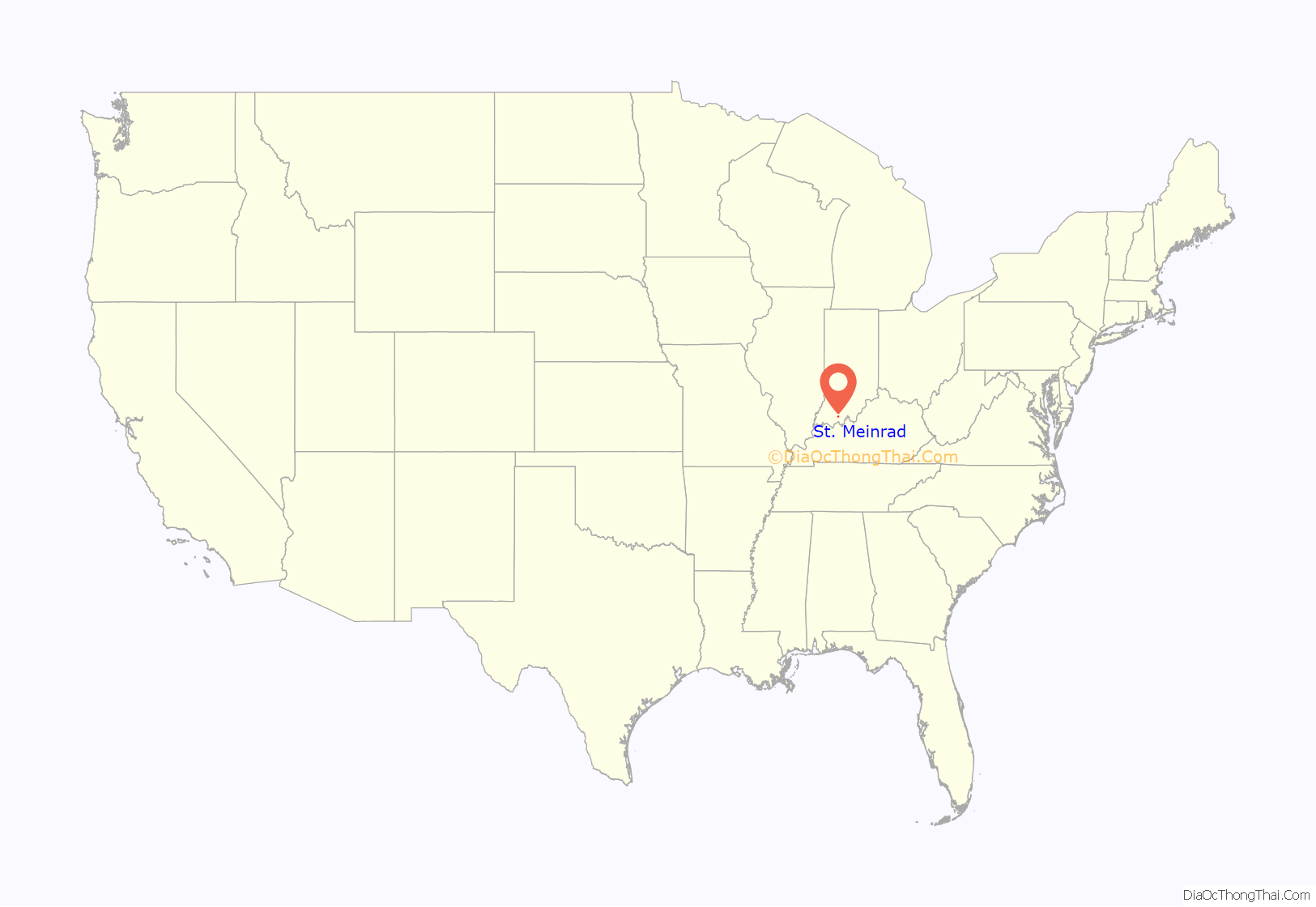
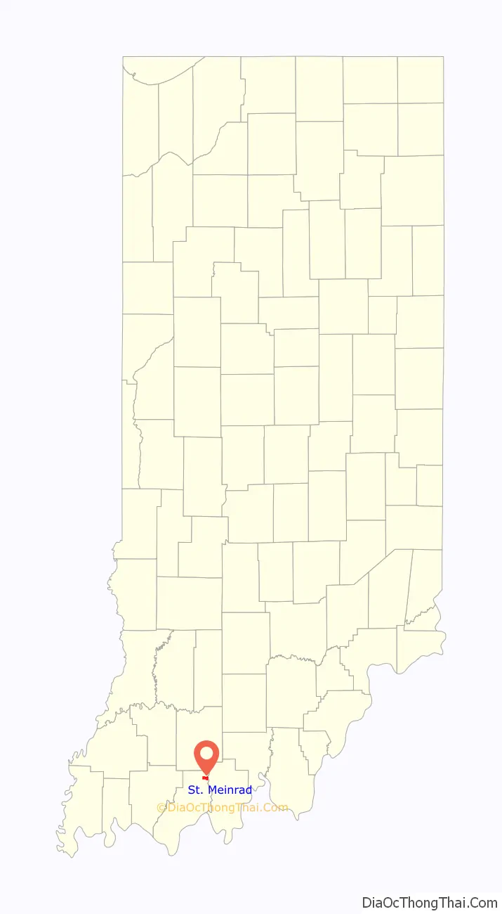
St. Meinrad location map. Where is St. Meinrad CDP?
History
Saint Meinrad was laid out in 1861, and named after the local St. Meinrad Archabbey. A post office has been in operation at Saint Meinrad since 1862.
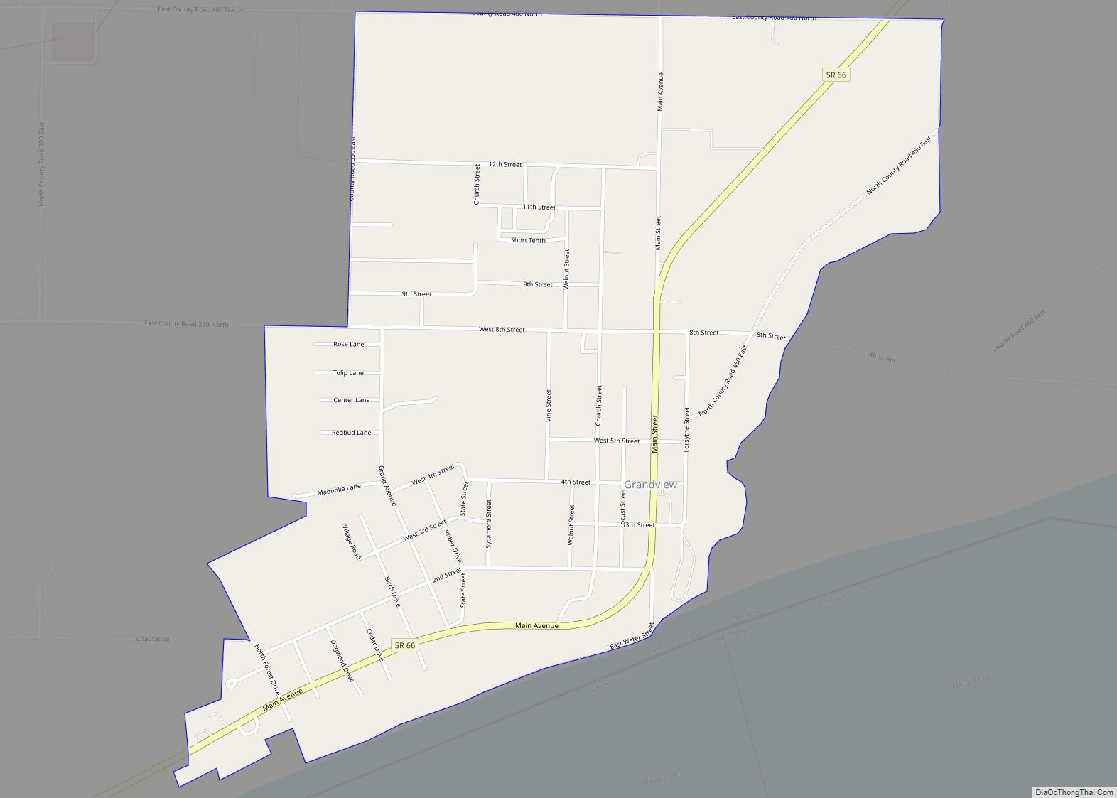
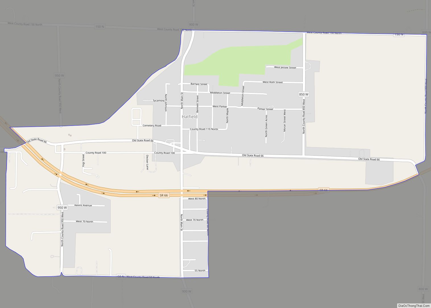
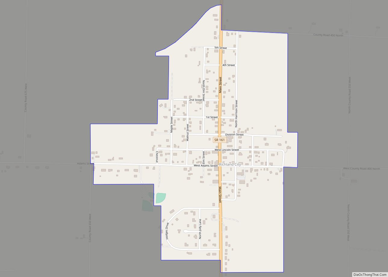
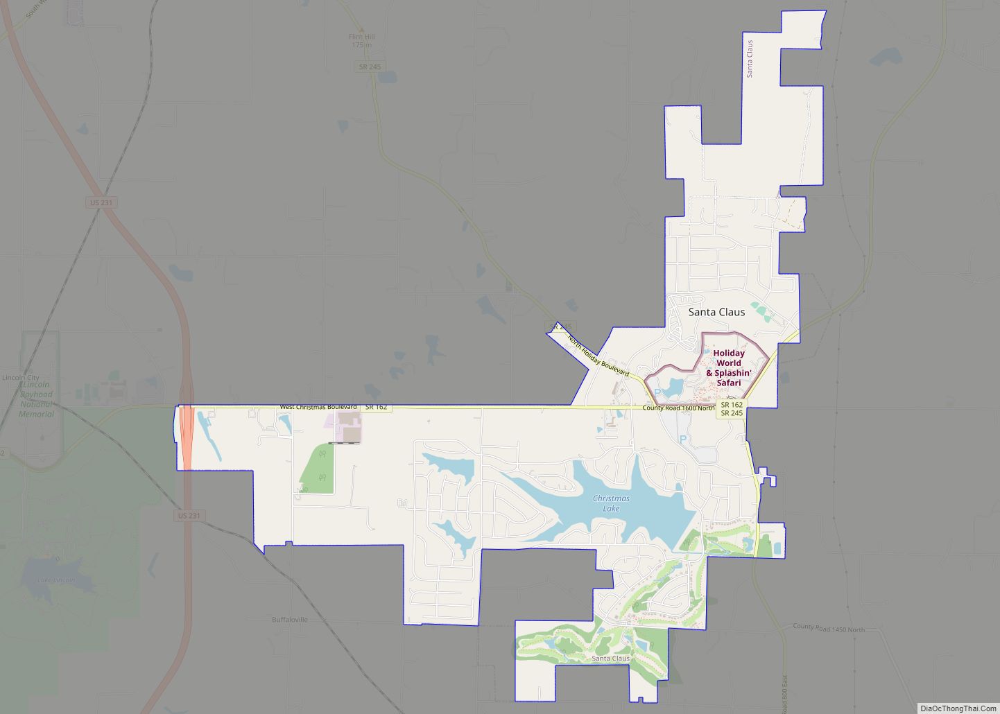
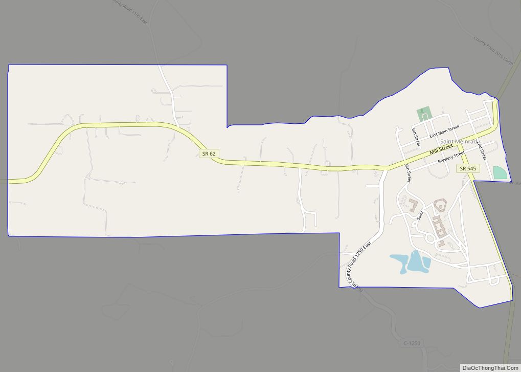
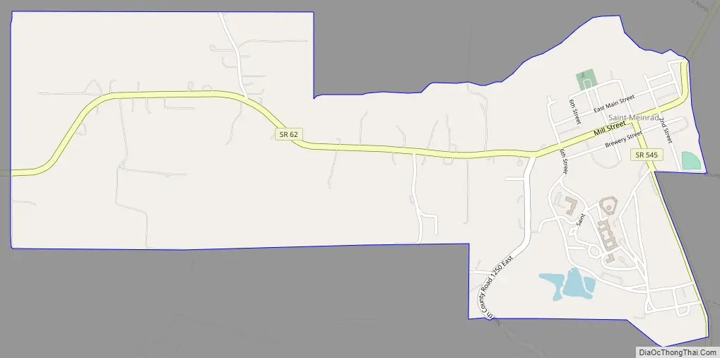
St. Meinrad Road Map
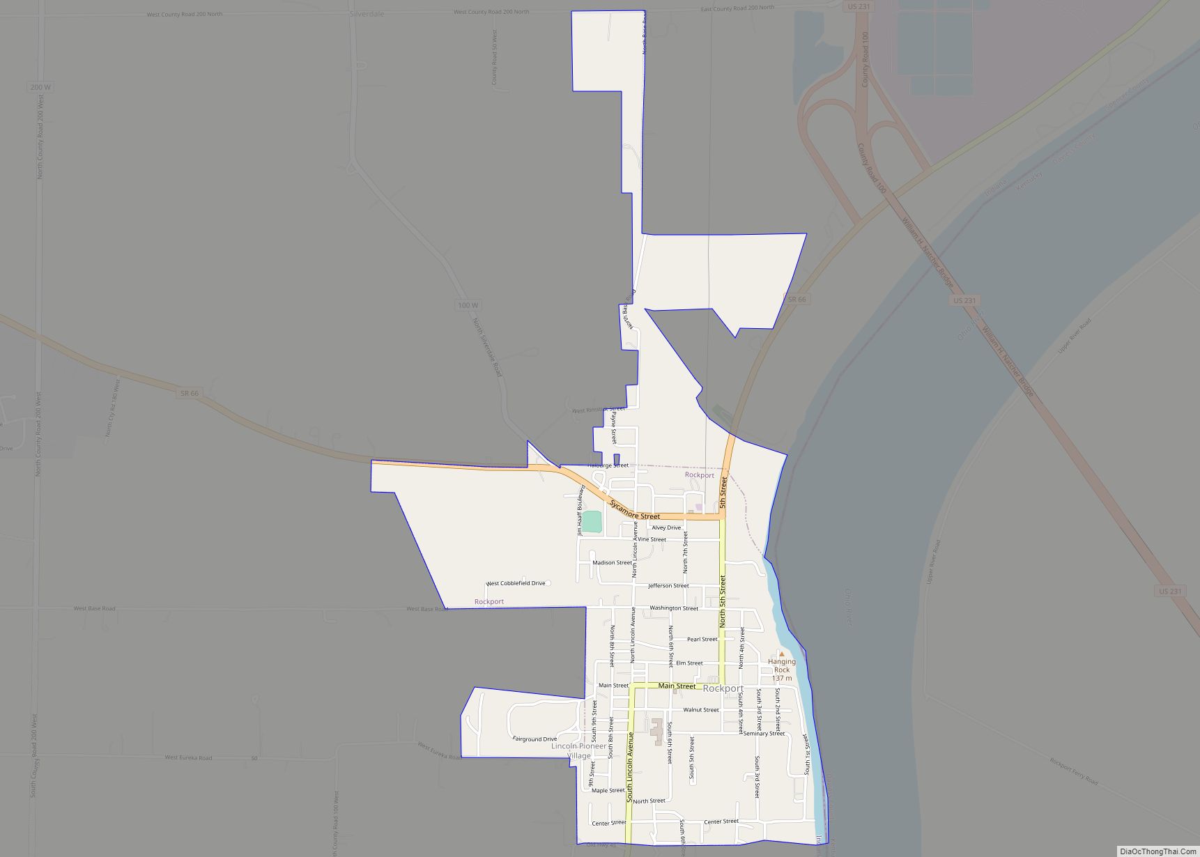
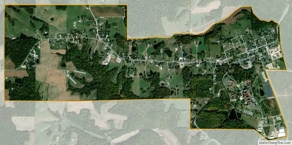
St. Meinrad city Satellite Map
See also
Map of Indiana State and its subdivision:- Adams
- Allen
- Bartholomew
- Benton
- Blackford
- Boone
- Brown
- Carroll
- Cass
- Clark
- Clay
- Clinton
- Crawford
- Daviess
- De Kalb
- Dearborn
- Decatur
- Delaware
- Dubois
- Elkhart
- Fayette
- Floyd
- Fountain
- Franklin
- Fulton
- Gibson
- Grant
- Greene
- Hamilton
- Hancock
- Harrison
- Hendricks
- Henry
- Howard
- Huntington
- Jackson
- Jasper
- Jay
- Jefferson
- Jennings
- Johnson
- Knox
- Kosciusko
- LaGrange
- Lake
- Lake Michigan
- LaPorte
- Lawrence
- Madison
- Marion
- Marshall
- Martin
- Miami
- Monroe
- Montgomery
- Morgan
- Newton
- Noble
- Ohio
- Orange
- Owen
- Parke
- Perry
- Pike
- Porter
- Posey
- Pulaski
- Putnam
- Randolph
- Ripley
- Rush
- Saint Joseph
- Scott
- Shelby
- Spencer
- Starke
- Steuben
- Sullivan
- Switzerland
- Tippecanoe
- Tipton
- Union
- Vanderburgh
- Vermillion
- Vigo
- Wabash
- Warren
- Warrick
- Washington
- Wayne
- Wells
- White
- Whitley
- Alabama
- Alaska
- Arizona
- Arkansas
- California
- Colorado
- Connecticut
- Delaware
- District of Columbia
- Florida
- Georgia
- Hawaii
- Idaho
- Illinois
- Indiana
- Iowa
- Kansas
- Kentucky
- Louisiana
- Maine
- Maryland
- Massachusetts
- Michigan
- Minnesota
- Mississippi
- Missouri
- Montana
- Nebraska
- Nevada
- New Hampshire
- New Jersey
- New Mexico
- New York
- North Carolina
- North Dakota
- Ohio
- Oklahoma
- Oregon
- Pennsylvania
- Rhode Island
- South Carolina
- South Dakota
- Tennessee
- Texas
- Utah
- Vermont
- Virginia
- Washington
- West Virginia
- Wisconsin
- Wyoming