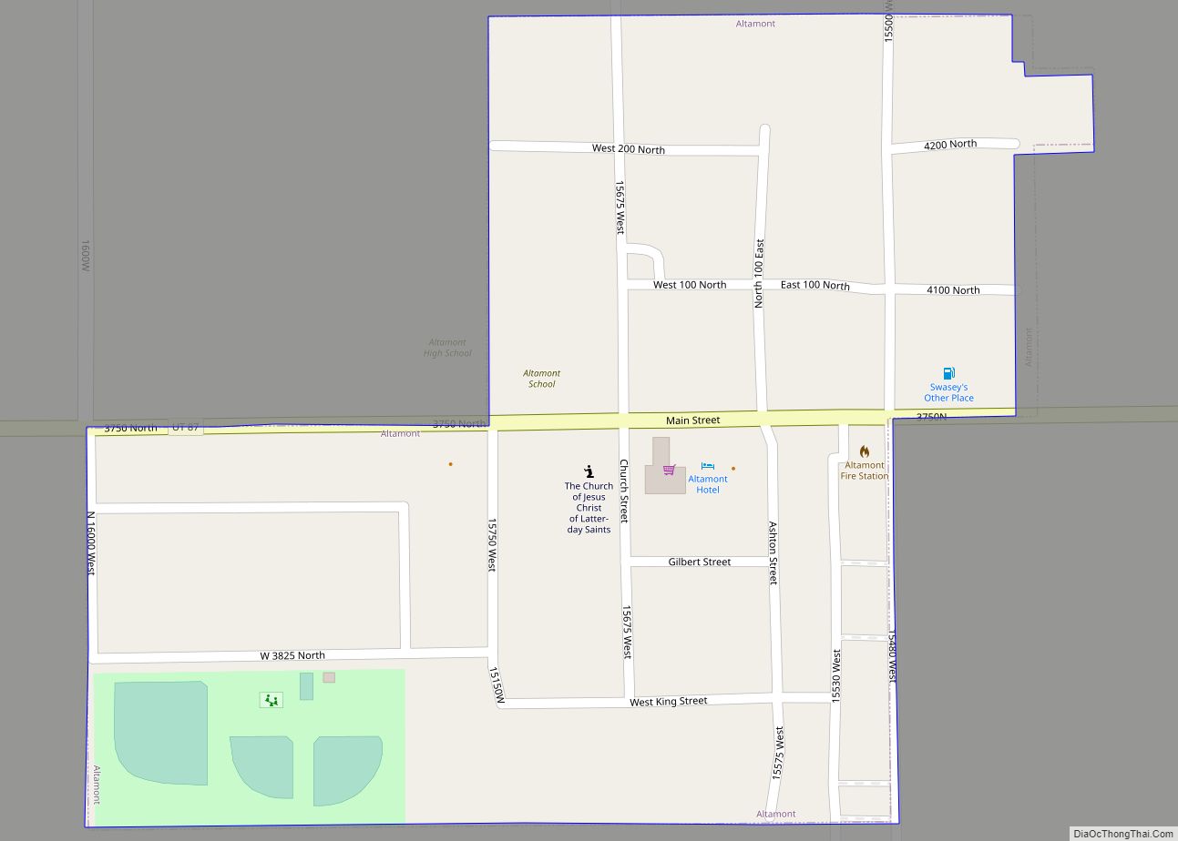
Altamont is a town in Duchesne County, Utah, United States. The population was 225 at the 2010 census, an increase over the 2000 figure of 178.
| Name: | Altamont town |
|---|---|
| LSAD Code: | 43 |
| LSAD Description: | town (suffix) |
| State: | Utah |
| County: | Duchesne County |
| Incorporated: | 1953 |
| Elevation: | 6,388 ft (1,947 m) |
| Total Area: | 0.21 sq mi (0.55 km²) |
| Land Area: | 0.21 sq mi (0.55 km²) |
| Water Area: | 0.00 sq mi (0.00 km²) |
| Total Population: | 225 |
| Population Density: | 1,306.60/sq mi (504.58/km²) |
| ZIP code: | 84001 |
| Area code: | 435 |
| FIPS code: | 4900760 |
| GNISfeature ID: | 1425096 |
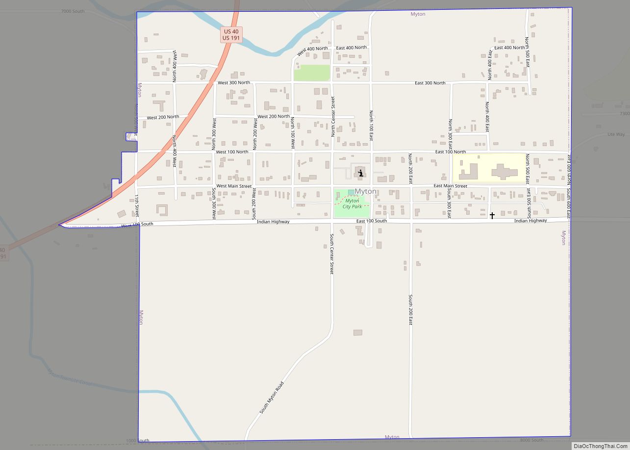
Online Interactive Map
Click on ![]() to view map in "full screen" mode.
to view map in "full screen" mode.
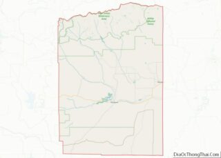
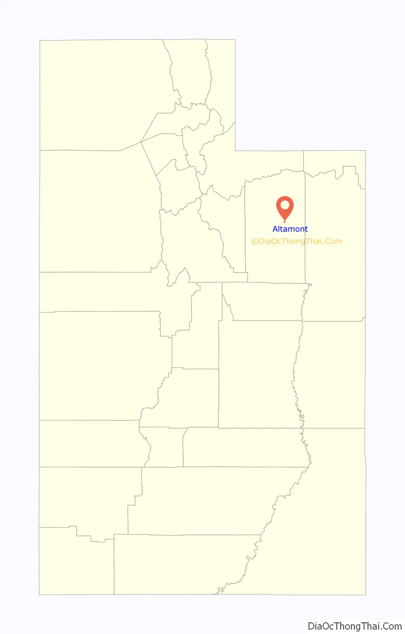
Altamont location map. Where is Altamont town?

History
The town was settled in the 1930s as a central location for a new area high school. The school was finished in 1935 and named Altamont, combining the names of the area villages of Altonah and Mt. Emmons. The community grew gradually and petitioned to incorporate as a town in 1953. In 2012 the newest addition to the school was finished.
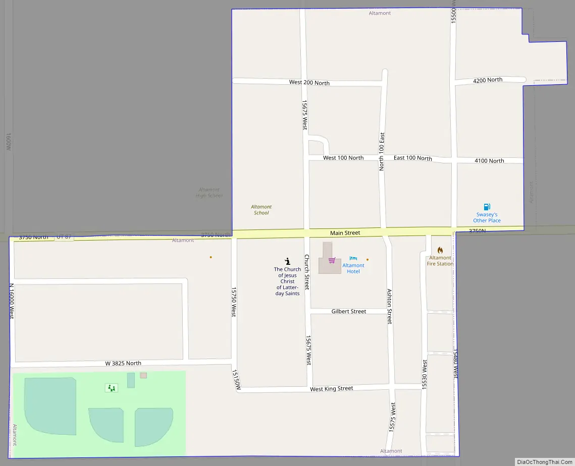
Altamont Road Map
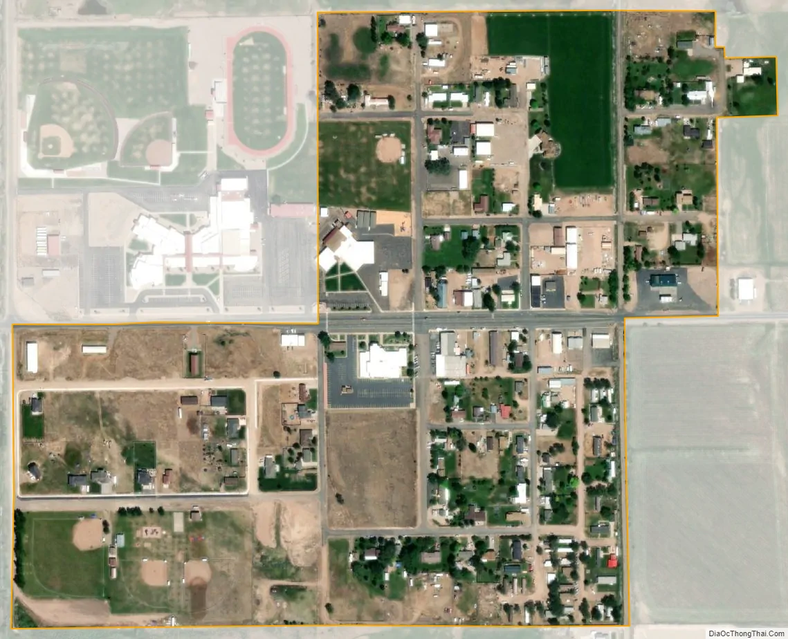
Altamont city Satellite Map
Geography
According to the United States Census Bureau, the town has a total area of 0.2 square mile (0.4 km), all land.
Climate
Altamont has a cold semi-arid climate (Köppen BSk) with cold winters and warm summers.
See also
Map of Utah State and its subdivision: Map of other states:- Alabama
- Alaska
- Arizona
- Arkansas
- California
- Colorado
- Connecticut
- Delaware
- District of Columbia
- Florida
- Georgia
- Hawaii
- Idaho
- Illinois
- Indiana
- Iowa
- Kansas
- Kentucky
- Louisiana
- Maine
- Maryland
- Massachusetts
- Michigan
- Minnesota
- Mississippi
- Missouri
- Montana
- Nebraska
- Nevada
- New Hampshire
- New Jersey
- New Mexico
- New York
- North Carolina
- North Dakota
- Ohio
- Oklahoma
- Oregon
- Pennsylvania
- Rhode Island
- South Carolina
- South Dakota
- Tennessee
- Texas
- Utah
- Vermont
- Virginia
- Washington
- West Virginia
- Wisconsin
- Wyoming