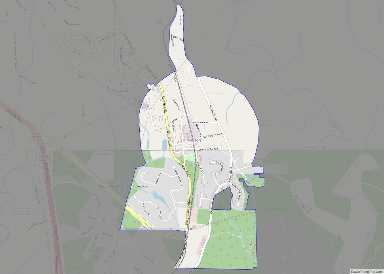
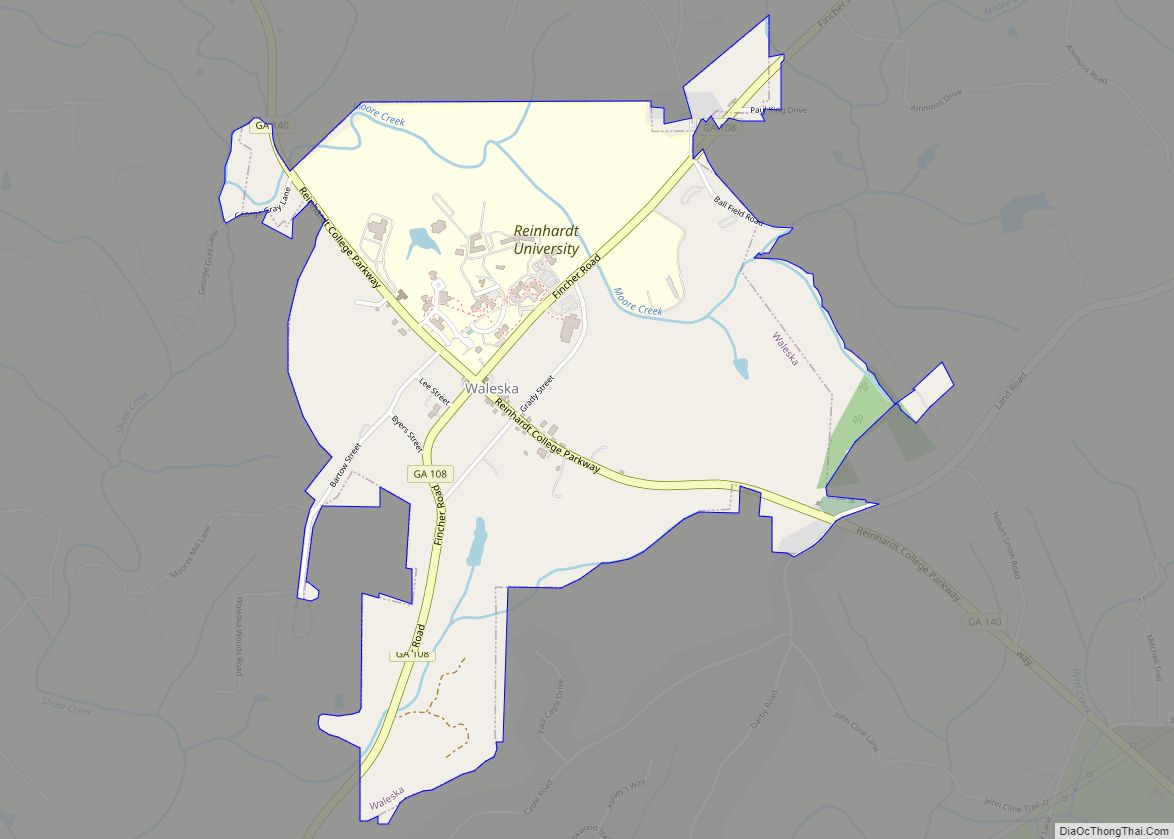
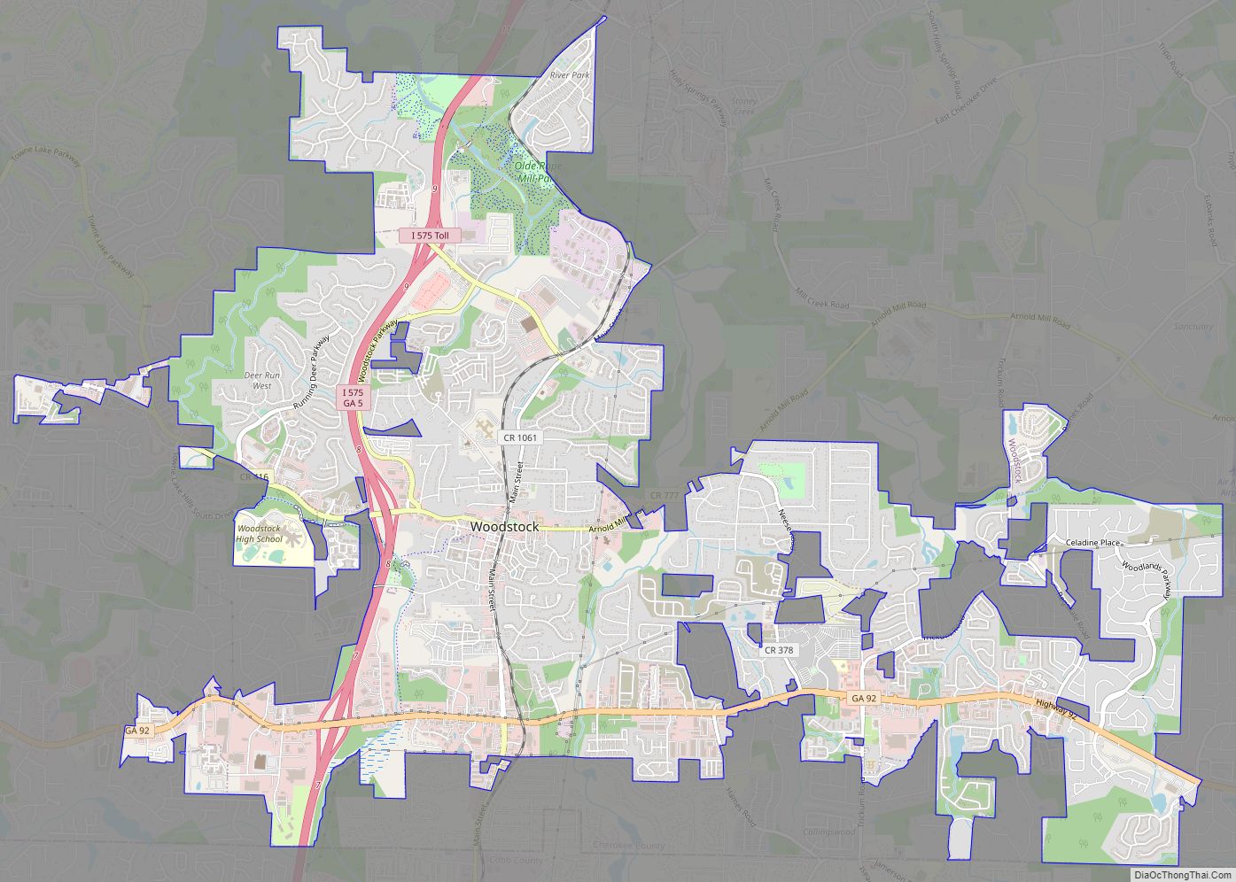
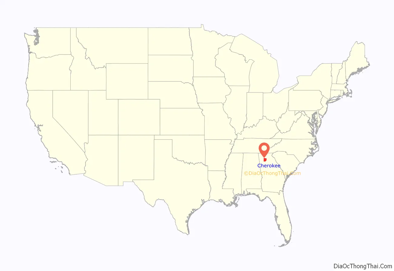
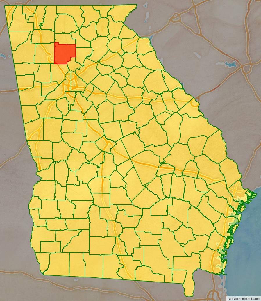
Cherokee County is located in the US state of Georgia. As of the 2020 Census, the population was 266,620. The county seat is Canton. The county Board of Commissioners is the governing body, with members elected to office. Cherokee County is included in the Atlanta Metropolitan Area.
| Name: | Cherokee County |
|---|---|
| FIPS code: | 13-057 |
| State: | Georgia |
| Founded: | 1831 |
| Named for: | Cherokee people |
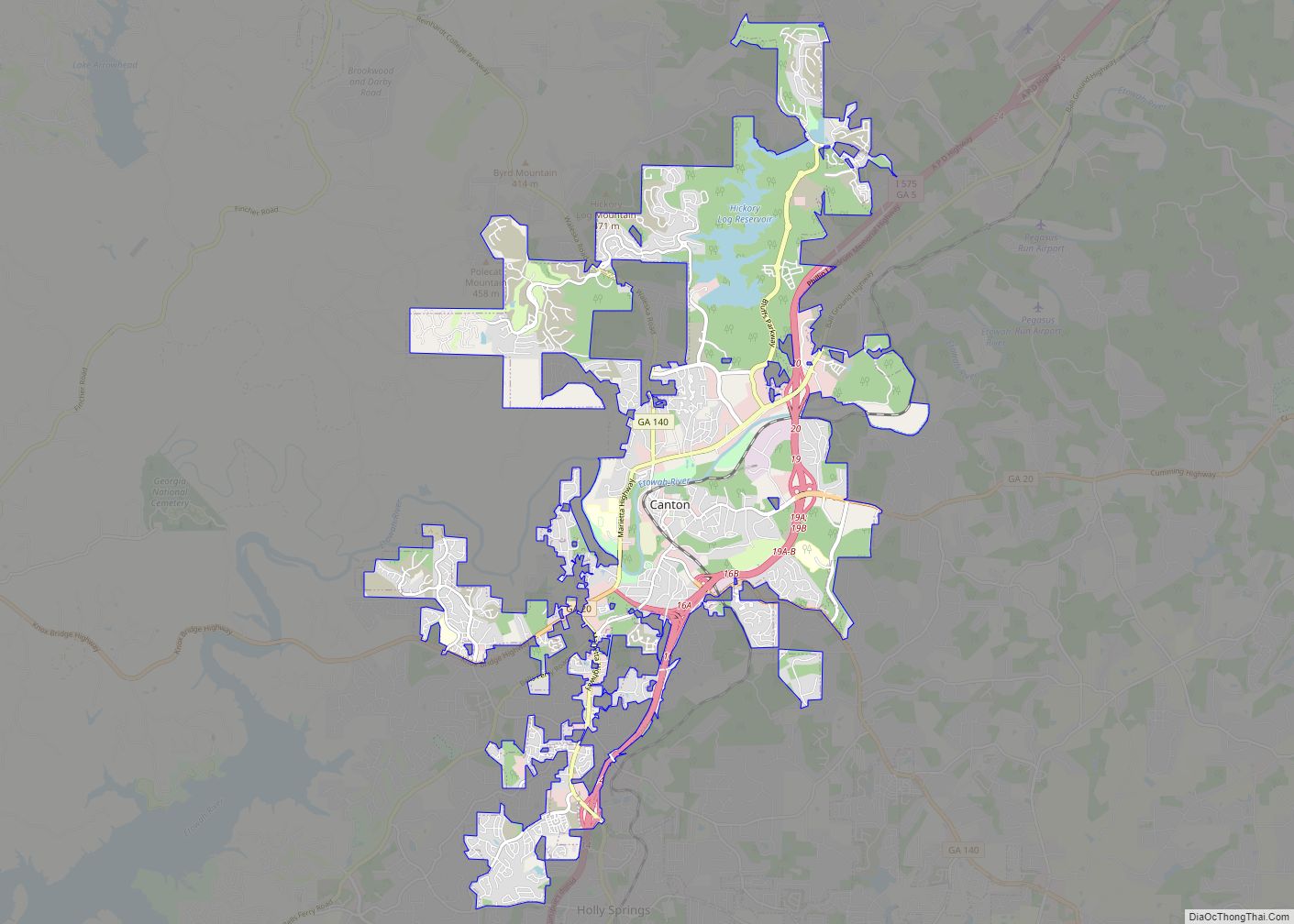
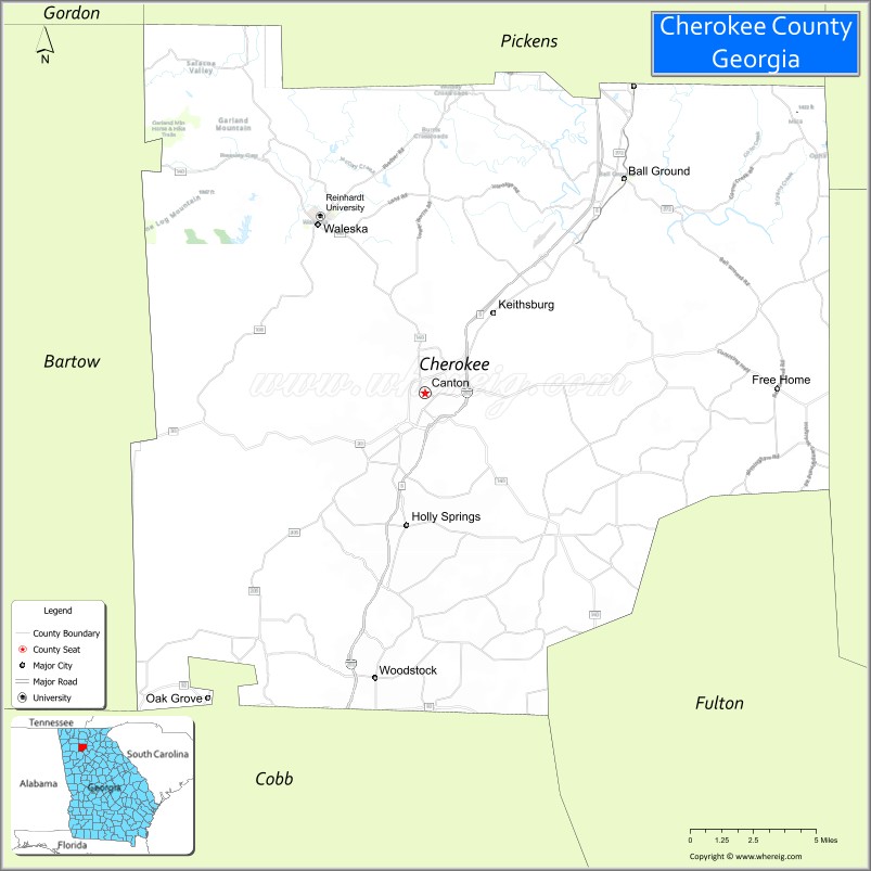
| Seat: | Canton |
| Largest city: | Woodstock |
| Total Area: | 434 sq mi (1,120 km²) |
| Land Area: | 421 sq mi (1,090 km²) |
| Total Population: | 266,620 |
| Time zone: | UTC−5 (Eastern) |
| Summer Time Zone (DST): | UTC−4 (EDT) |
| Website: | www.cherokeega.com |
Cherokee County location map. Where is Cherokee County?
History
Original territory
Originally, Cherokee County was more like a territory than a county, covering lands northwest of the Chattahoochee River and Chestatee River except for Carroll County. This county was created December 26, 1831, by the state legislature. It was named after the Cherokee people who lived in the area at that time. Several other counties were carved out of these Cherokee lands as part of the Cherokee Land Lottery of 1832.
An act of the Georgia General Assembly passed on December 3 of that year created the counties of Forsyth, Lumpkin, Union, Cobb, Gilmer, Murray, Cass (now Bartow), Floyd, and Paulding. The forcible removal of the Cherokee people, leading up to the notorious Trail of Tears to Indian Territory west of the Mississippi River, began a year prior. The push by European Americans to expel the Cherokee was accelerated by the discovery of gold in local streams.
County courts were authorized to meet at the home of Ambrose Harnage. The settlement soon became known as Harnageville when Cherokee County was first established. Since 1880, that town has been renamed to Tate and is located in Pickens County.
Etowah was declared the county seat in 1833. Its name was later changed to Canton, which is still the county seat today.
Remaining county
In 1857, part of the southeastern corner of the county was ceded by the General Assembly to form Milton County (now the city of Milton in the county of Fulton). In the 1890s, The Atlanta & Knoxville Railroad (later renamed the Marietta & North Georgia Railroad when it could not be completed to Knoxville) built a branch line through the middle of the county. When this line was bought by the Louisville & Nashville Railroad the following decade, the L&N Railroad built stations at Woodstock and other towns.
Development
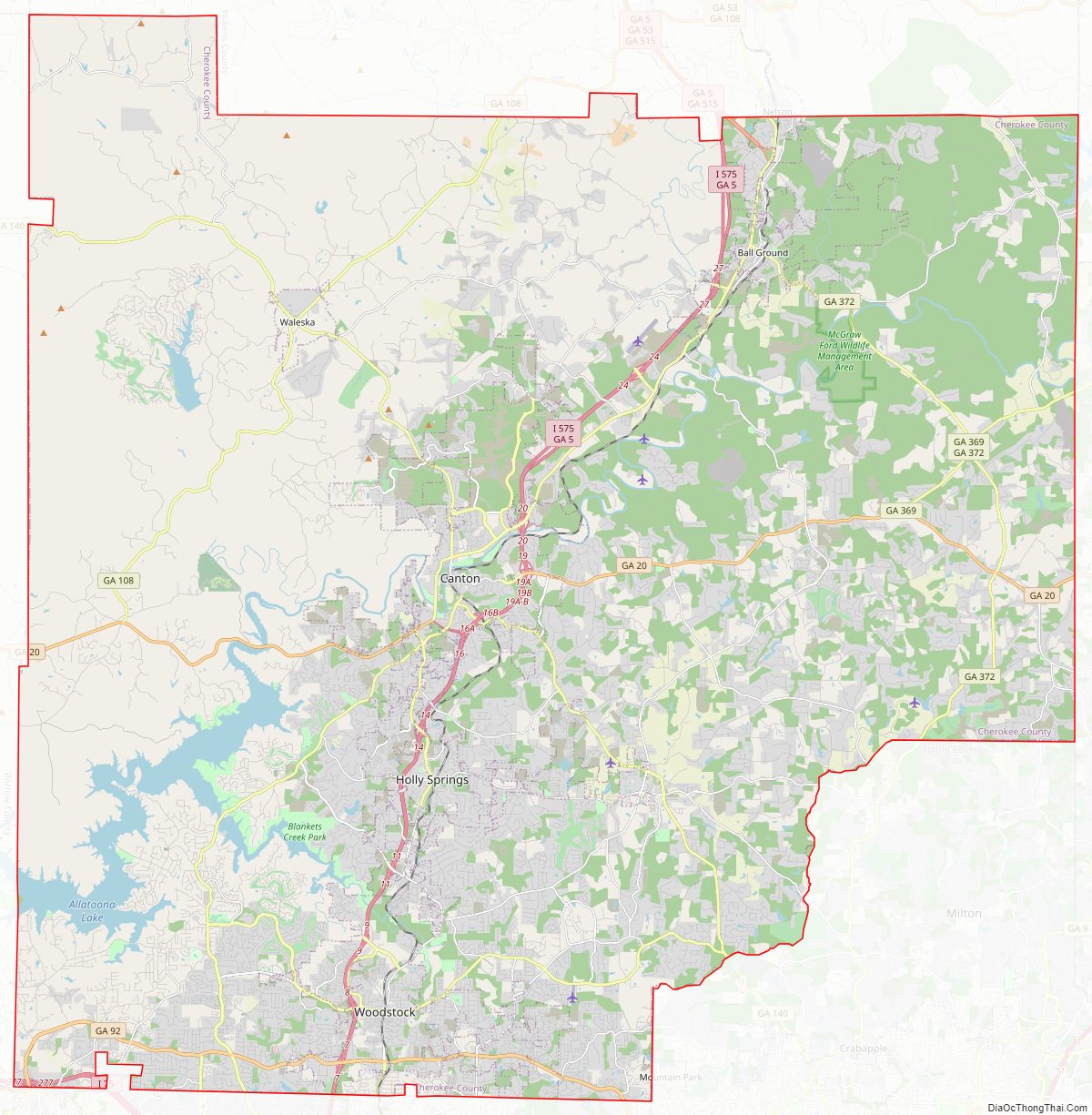
It is bisected by Interstate 575, which runs from Marietta north through Woodstock, Lebanon, Holly Springs, Canton, and Ball Ground. Interstate 575 is currently undergoing expansion in Cherokee County.
The Georgia Northeastern Railroad operates freight service on the former L&N tracks, roughly parallel to this route. Population growth has followed the same general pattern, as well, with new suburbs in the south following the highway toward exurbs further north.
2021 Atlanta spa shootings
In 2021, four people were killed and a fifth person was wounded in a mass shooting at Young’s Asian Massage, a massage parlor in unincorporated Cherokee County. The shooting was the first of a series of mass shootings targeting massage parlors in the Atlanta metropolitan area, which left a total of eight people dead. A suspect was apprehended in connection to the incidents.
Cherokee County Road Map
Geography
According to the U.S. Census Bureau, the county has a total area of 434 square miles (1,120 km), of which 422 square miles (1,090 km) are land and 13 square miles (34 km) (2.9%) are covered by water. Much of the water is in Lake Allatoona in the southwest. The lake is fed by the Etowah and Little Rivers (the county’s primary waterways), and other large streams such as Noonday Creek. Much of the northern part of the county begins to rise toward the foothills.
The vast majority of Cherokee County is located in the [Etowah River] subbasin of the Coosa-Tallapoosa River Basin, with only a small northwesterly corner of the county located in the Coosawattee River subbasin of the same basin.
Mountains
Nine summits are listed by the United States Geological Survey Geographic Names Information System as being in the county. From tallest to lowest, they are:
- Bear Mountain – 2,297 feet (700 m)
- Pine Log Mountain – 2,260 feet (689 m)
- Oakey Mountain – 1,686 feet (514 m)
- Dry Pond Mountain – 1,644 feet (501 m)
- Hickory Log Mountain – 1,545 feet (471 m)
- Polecat Mountain – 1,503 feet (458 m)
- Byrd Mountain – 1,358 feet (414 m)
- Garland Mountain – 1,348 feet (411 m)
- Posey Mountain – 1,306 feet (398 m)
Adjacent counties
- Pickens – north
- Dawson – northeast
- Forsyth – east
- Fulton – southeast
- Cobb – south
- Bartow – west
- Gordon – northwest
Cherokee County Topographic Map
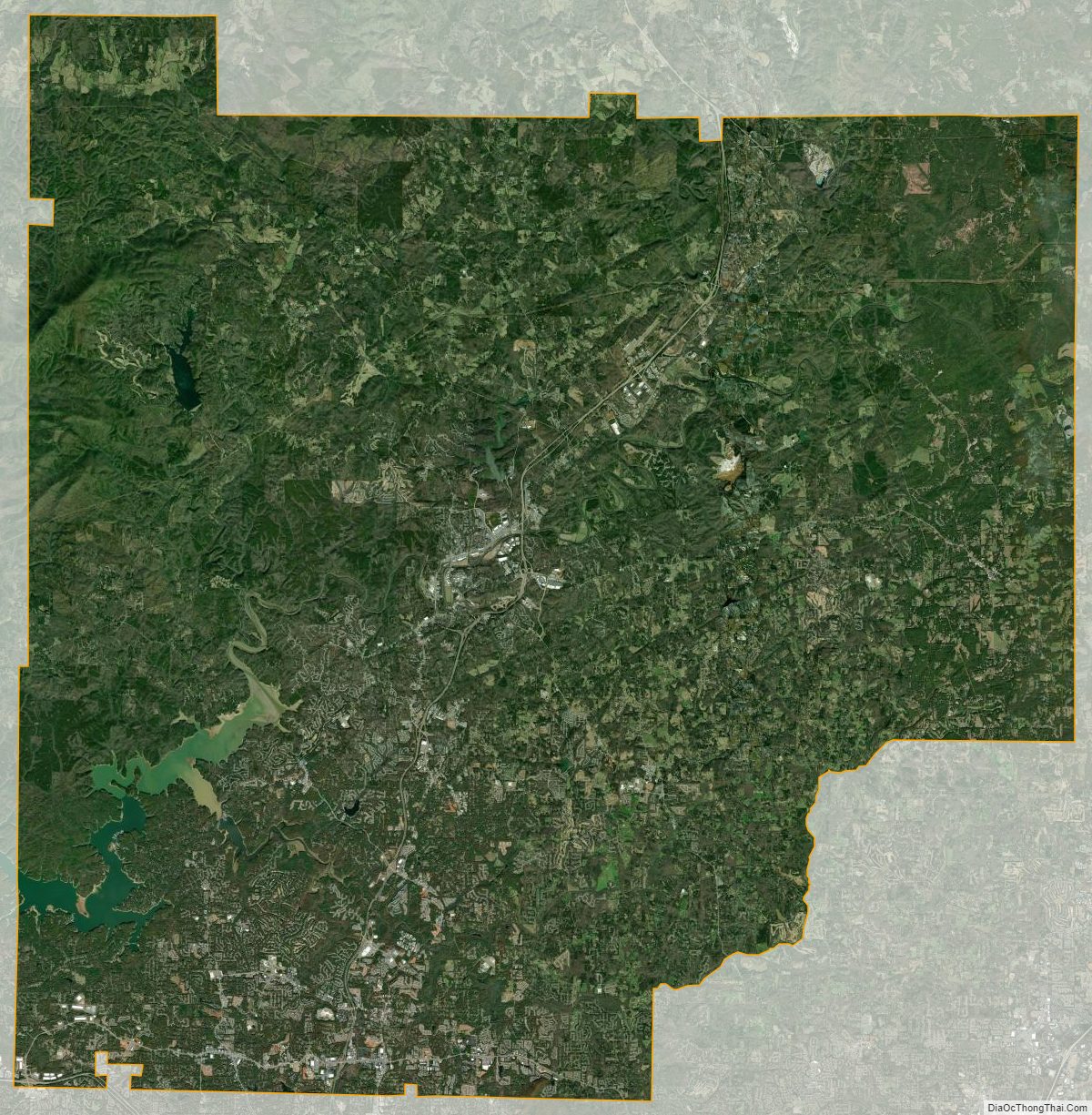
Cherokee County Satellite Map
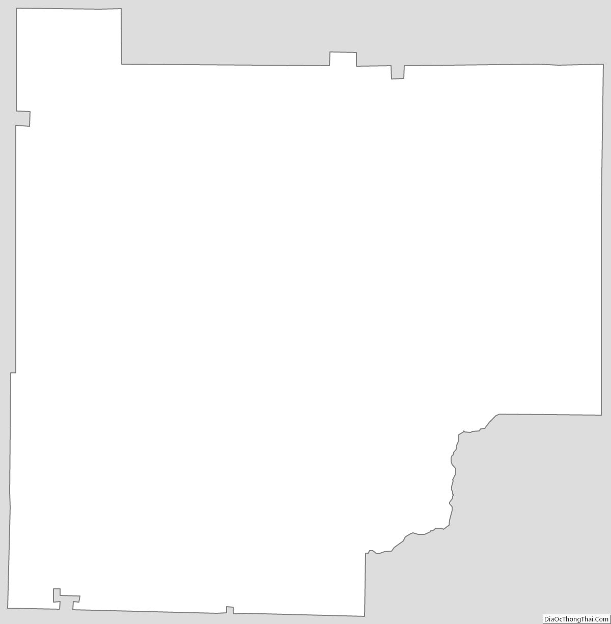
Cherokee County Outline Map