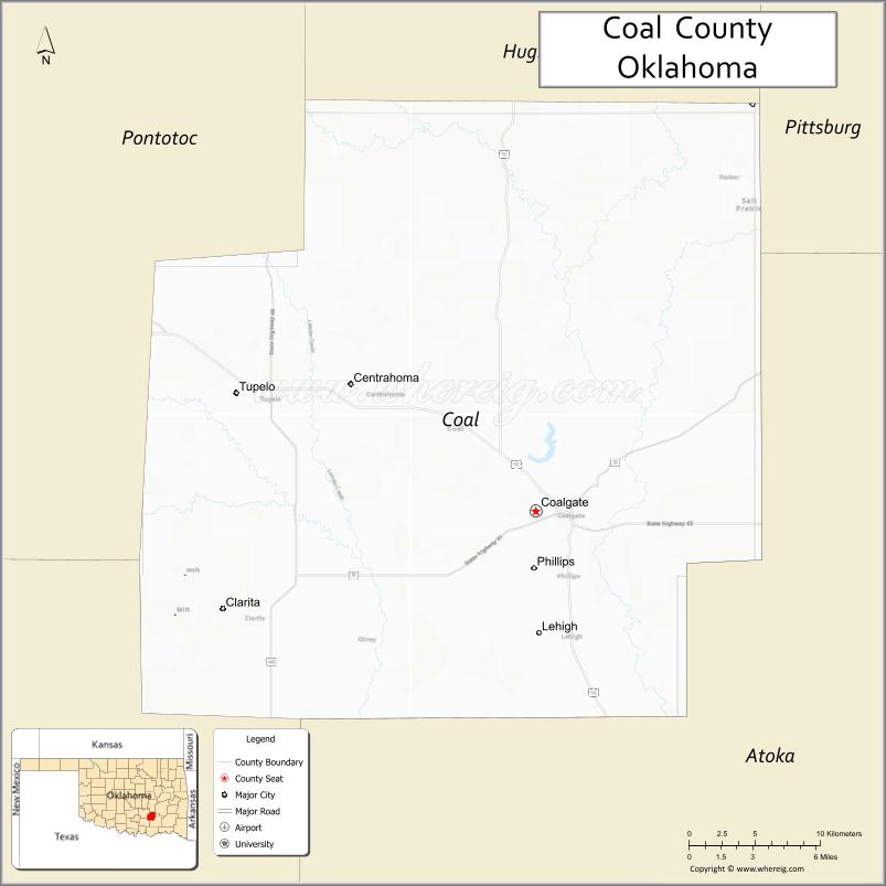
Coal County is a county located in the U.S. state of Oklahoma. As of the 2010 census, the population was 5,925. Its county seat is Coalgate.
| Name: | Coal County |
|---|---|
| FIPS code: | 40-029 |
| State: | Oklahoma |
| Founded: | 1907 |
| Seat: | Coalgate |
| Largest city: | Coalgate |
| Total Area: | 521 sq mi (1,350 km²) |
| Land Area: | 517 sq mi (1,340 km²) |
| Total Population: | 5,925 |
| Population Density: | 11/sq mi (4/km²) |
| Time zone: | UTC−6 (Central) |
| Summer Time Zone (DST): | UTC−5 (CDT) |
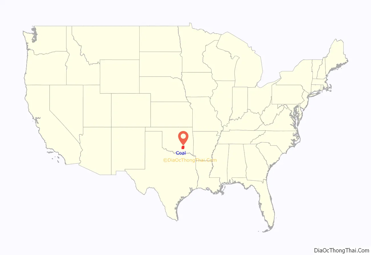
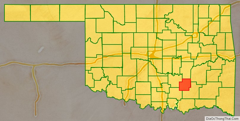
Coal County location map. Where is Coal County?
History
Coal County was formed at statehood from the former Shappaway County (later renamed Atoka County) of the Pushmataha District of the Choctaw Nation in Indian Territory. A 3.5 miles (5.6 km) strip of Coal County was taken from the Pontotoc District of the Chickasaw Nation. Initially, the Oklahoma legislature named Lehigh as the county seat, but a special election held in 1908 resulted in the citizens choosing Coalgate as the county seat. Lehigh tried to sue because more people voted than were registered, but no court would hear the case.
Mining became a mainstay of the county’s economy during the 1870s. The first coal mine opened on Chief Allen Wright’s land. The industry activity peaked between 1910 and 1916 but declined sharply after World War I. Many of the mines closed by 1921, due to the refusal of mining companies of the area to unionize. Some mines reopened during World War II, but these closed by 1958, because of the rising cost of refining sulfur out of the coal mined.
Agriculture replaced mining as the main economic activity of the county. Even this business encountered severe difficulty in 1921–3 when a boll weevil infestation wiped out the cotton crop. All five banks in the county failed as a result.
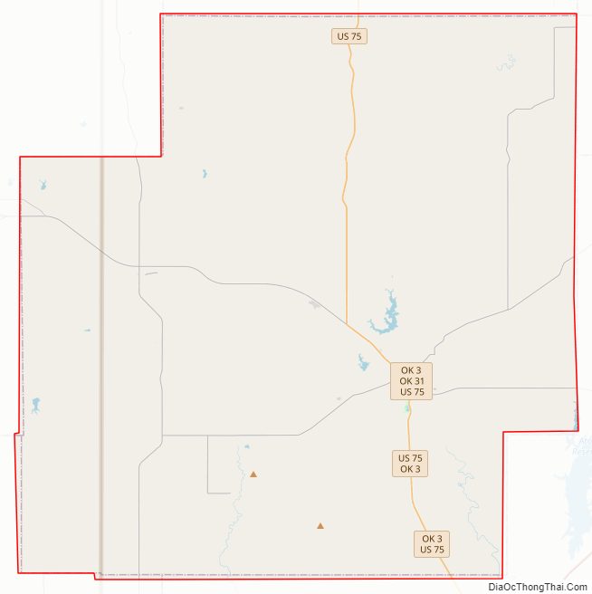
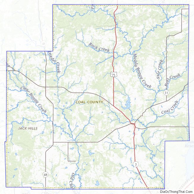
Coal County Road Map
Geography
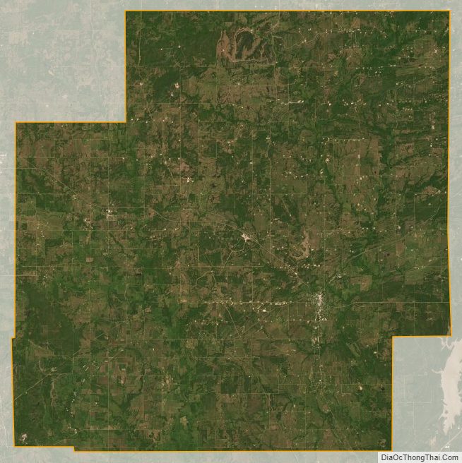
Coal County is in southeastern Oklahoma, in a 10-county area designated for tourism purposes by the Oklahoma Department of Tourism and Recreation as Choctaw Country. According to the U.S. Census Bureau, the county has a total area of 521 square miles (1,350 km), of which 517 square miles (1,340 km) is land and 4.7 square miles (12 km) (0.9%) is water. It is the fifth-smallest county in Oklahoma by area. The eastern part of the county lies in the Ouachita Mountains, while the western part has open prairie and lies in the Sandstone Hills physiographic region. The county is drained by the Clear Boggy and Muddy Boggy creeks.
Major highways
- U.S. Highway 75
- State Highway 3
- State Highway 31
- State Highway 43
- State Highway 48
Adjacent counties
- Hughes County (north)
- Pittsburg County (northeast)
- Atoka County (southeast)
- Johnston County (southwest)
- Pontotoc County (west)
Coal County Topographic Map
Coal County Satellite Map
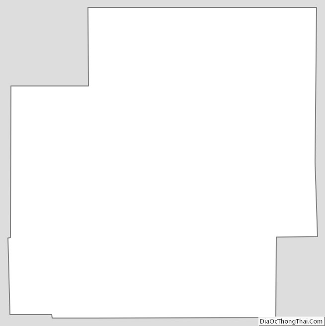
Coal County Outline Map
See also
Map of Oklahoma State and its subdivision:- Adair
- Alfalfa
- Atoka
- Beaver
- Beckham
- Blaine
- Bryan
- Caddo
- Canadian
- Carter
- Cherokee
- Choctaw
- Cimarron
- Cleveland
- Coal
- Comanche
- Cotton
- Craig
- Creek
- Custer
- Delaware
- Dewey
- Ellis
- Garfield
- Garvin
- Grady
- Grant
- Greer
- Harmon
- Harper
- Haskell
- Hughes
- Jackson
- Jefferson
- Johnston
- Kay
- Kingfisher
- Kiowa
- Latimer
- Le Flore
- Lincoln
- Logan
- Love
- Major
- Marshall
- Mayes
- McClain
- McCurtain
- McIntosh
- Murray
- Muskogee
- Noble
- Nowata
- Okfuskee
- Oklahoma
- Okmulgee
- Osage
- Ottawa
- Pawnee
- Payne
- Pittsburg
- Pontotoc
- Pottawatomie
- Pushmataha
- Roger Mills
- Rogers
- Seminole
- Sequoyah
- Stephens
- Texas
- Tillman
- Tulsa
- Wagoner
- Washington
- Washita
- Woods
- Woodward
- Alabama
- Alaska
- Arizona
- Arkansas
- California
- Colorado
- Connecticut
- Delaware
- District of Columbia
- Florida
- Georgia
- Hawaii
- Idaho
- Illinois
- Indiana
- Iowa
- Kansas
- Kentucky
- Louisiana
- Maine
- Maryland
- Massachusetts
- Michigan
- Minnesota
- Mississippi
- Missouri
- Montana
- Nebraska
- Nevada
- New Hampshire
- New Jersey
- New Mexico
- New York
- North Carolina
- North Dakota
- Ohio
- Oklahoma
- Oregon
- Pennsylvania
- Rhode Island
- South Carolina
- South Dakota
- Tennessee
- Texas
- Utah
- Vermont
- Virginia
- Washington
- West Virginia
- Wisconsin
- Wyoming