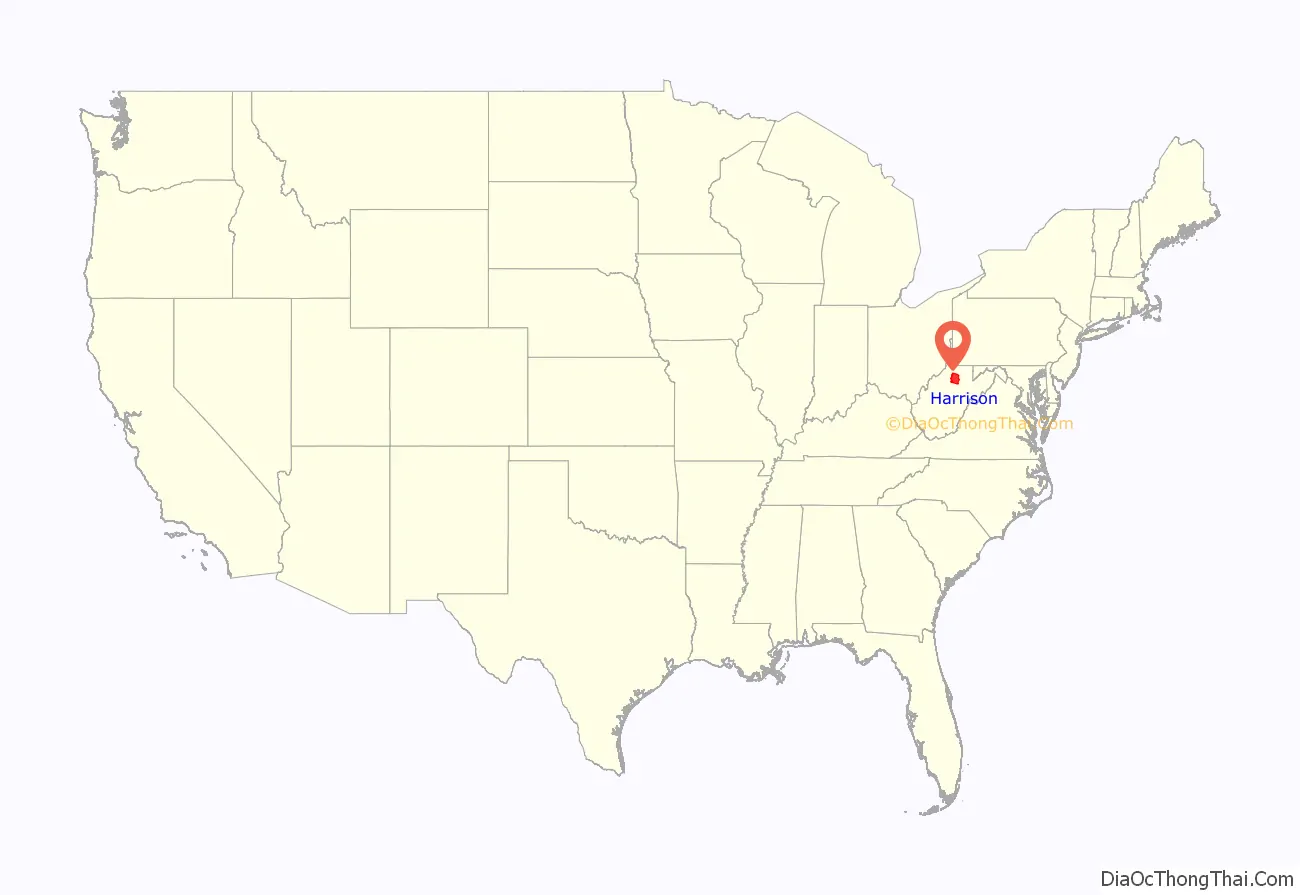
Harrison County is a county in the U.S. state of West Virginia. As of the 2020 census, the population was 65,921. Its county seat is Clarksburg.
Harrison County is part of the Clarksburg, WV Micropolitan Statistical Area.
| Name: | Harrison County |
|---|---|
| FIPS code: | 54-033 |
| State: | West Virginia |
| Founded: | May 3, 1784 |
| Named for: | Benjamin Harrison V |
| Seat: | Clarksburg |
| Largest city: | Clarksburg |
| Total Area: | 417 sq mi (1,080 km²) |
| Land Area: | 416 sq mi (1,080 km²) |
| Total Population: | 65,921 |
| Population Density: | 160/sq mi (61/km²) |
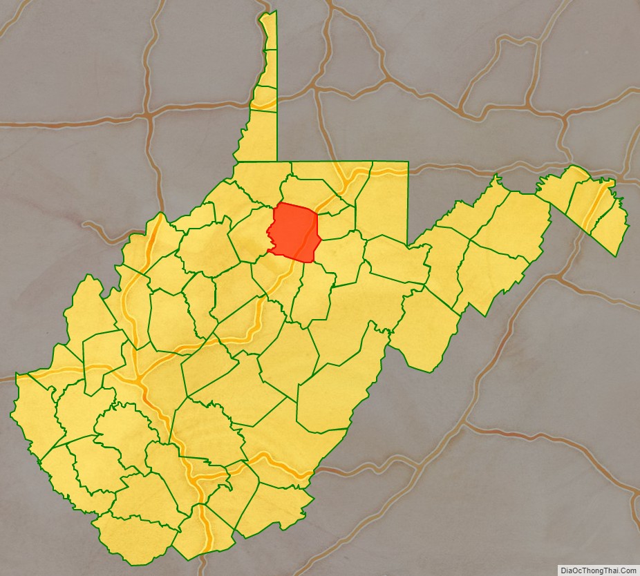
Harrison County location map. Where is Harrison County?
History
Indigenous peoples lived in the area that would become Harrison County for thousands of years. The Oak Mounds outside Clarksburg were built by the Hopewell culture mound builders during the first millennium CE.
18th century
White trappers visited the area that is now Harrison County as early as the 1760s. Some traded with the Native Americans of the area. The Virginia Colony claimed the area as part of its vast Augusta County. The first permanent settler in the area was hunter and trapper John Simpson, who erected a cabin at the mouth of Elk Creek on the West Fork River in 1763 or ’64. Simpson’s name remains on “Simpson’s Creek” (its mouth is about 9 miles downstream from present Clarksburg). Settler Daniel Davisson (1748-1819), from New Jersey, claimed the land upon which present-day Clarksburg, Harrison County, was formed in 1773; the area was re-designated as part of Monongalia County, Virginia three years later. Simpson’s story did not end well. According to a 19th-century local historian, he …
Harrison County was organized in 1784, with territory partitioned from Monongalia County. It was named for Benjamin Harrison V, who had recently retired as the Governor of Virginia. (He was the father of William Henry Harrison, 9th President of the United States and great-grandfather of Benjamin Harrison, 23rd president.) Over the next 72 years, all of eight present-day West Virginia counties and parts of ten others were formed from this original Harrison County.
The first meeting of the Harrison County court was held on July 20, 1784, at the home of George Jackson. The group designated the county seat as Clarksburg. The town, named for explorer General George Rogers Clark (1752–1818), was chartered by the Virginia General Assembly in October 1785, and it was incorporated in 1795.
19th century
Clarksburg’s first newspaper, The By-Stander, began publication in 1810. Construction of the Northwestern Turnpike connecting Winchester and Parkersburg, reached the town in 1836, stimulating development by connecting it to other markets. Clarksburg’s economic development was also helped by the arrival of the Baltimore and Ohio Railroad in 1856. The railroad was instrumental in the development of the local coal mining industry during the late 1800s and early 1900s.
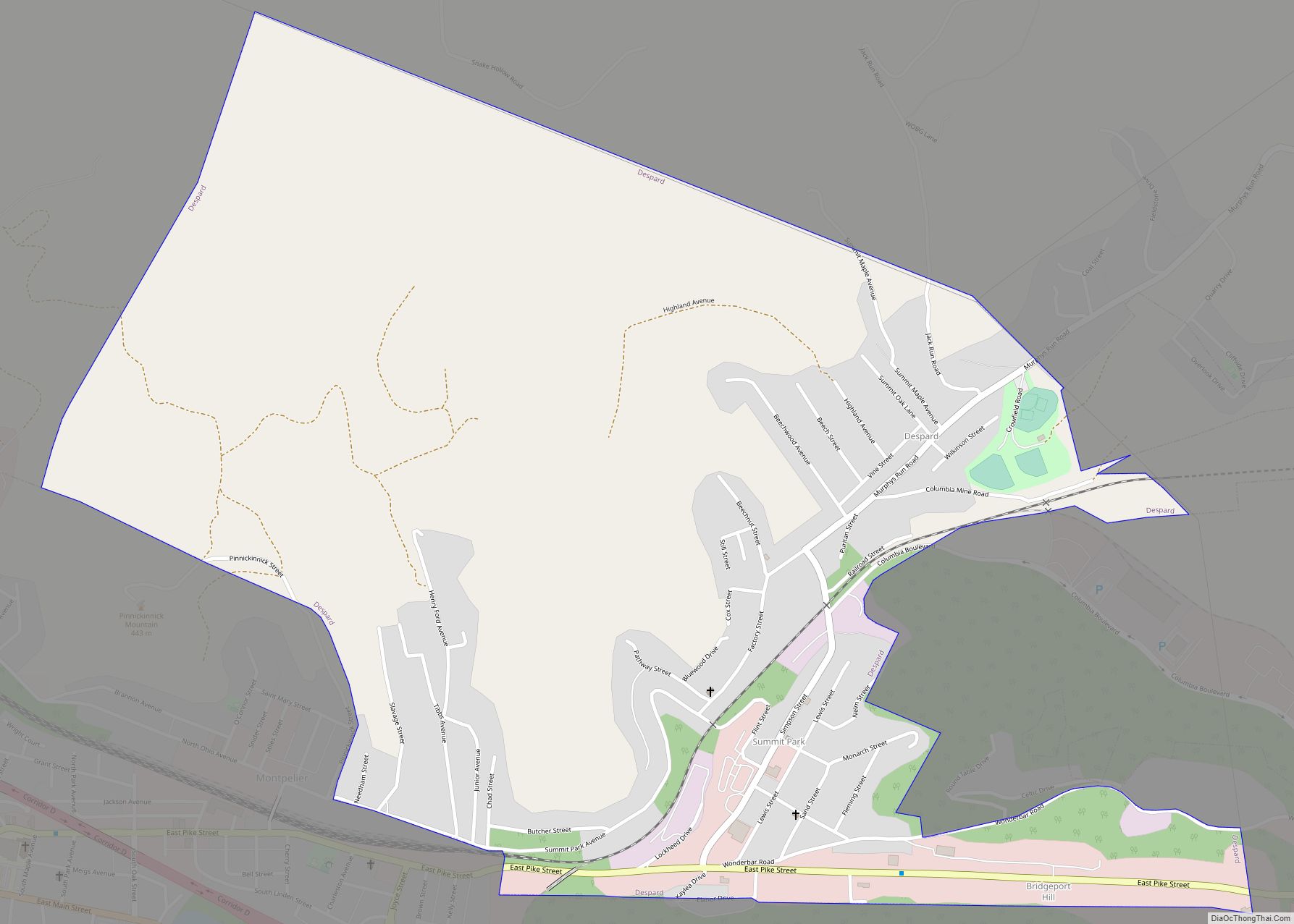
In 1863, West Virginia’s counties were divided into civil townships, with the intention of encouraging local government. This proved impractical in the heavily rural state, and in 1872 the townships were converted into magisterial districts. Harrison County was divided into ten districts: Clark, Clay, Coal, Eagle, Elk, Grant, Sardis, Simpson, Tenmile, and Union. These districts remained stable for a century, but in the 1970s they were consolidated to form six new districts: North Clarksburg, South Clarksburg, Suburban, Northern, Southeast, and Southwest. In the 1980s, North and South Clarksburg Districts became North Urban and South Urban. In the 1990s, the Southeast and Suburban Districts were discontinued, and replaced by the Eastern and Southern Districts.
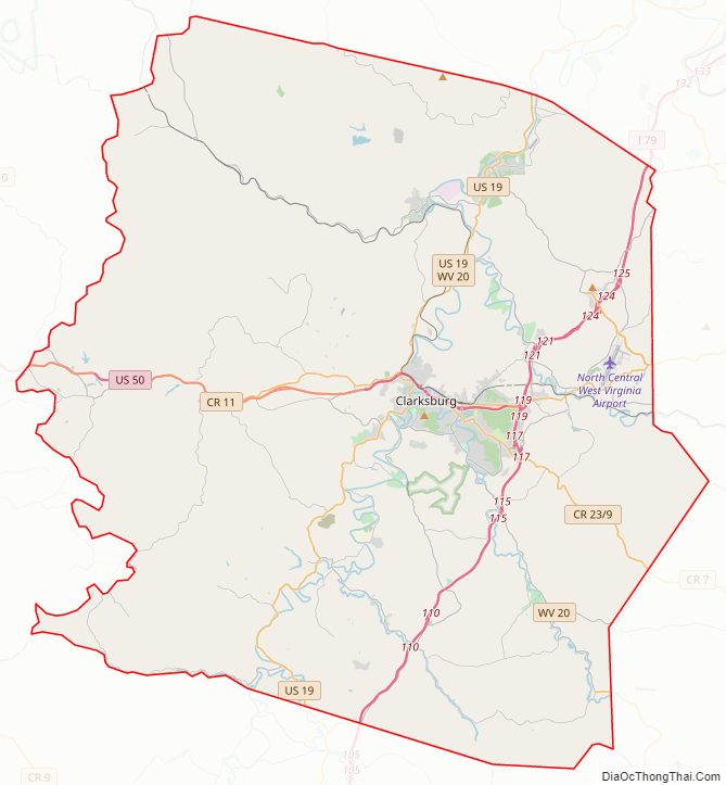
Harrison County Road Map
Geography
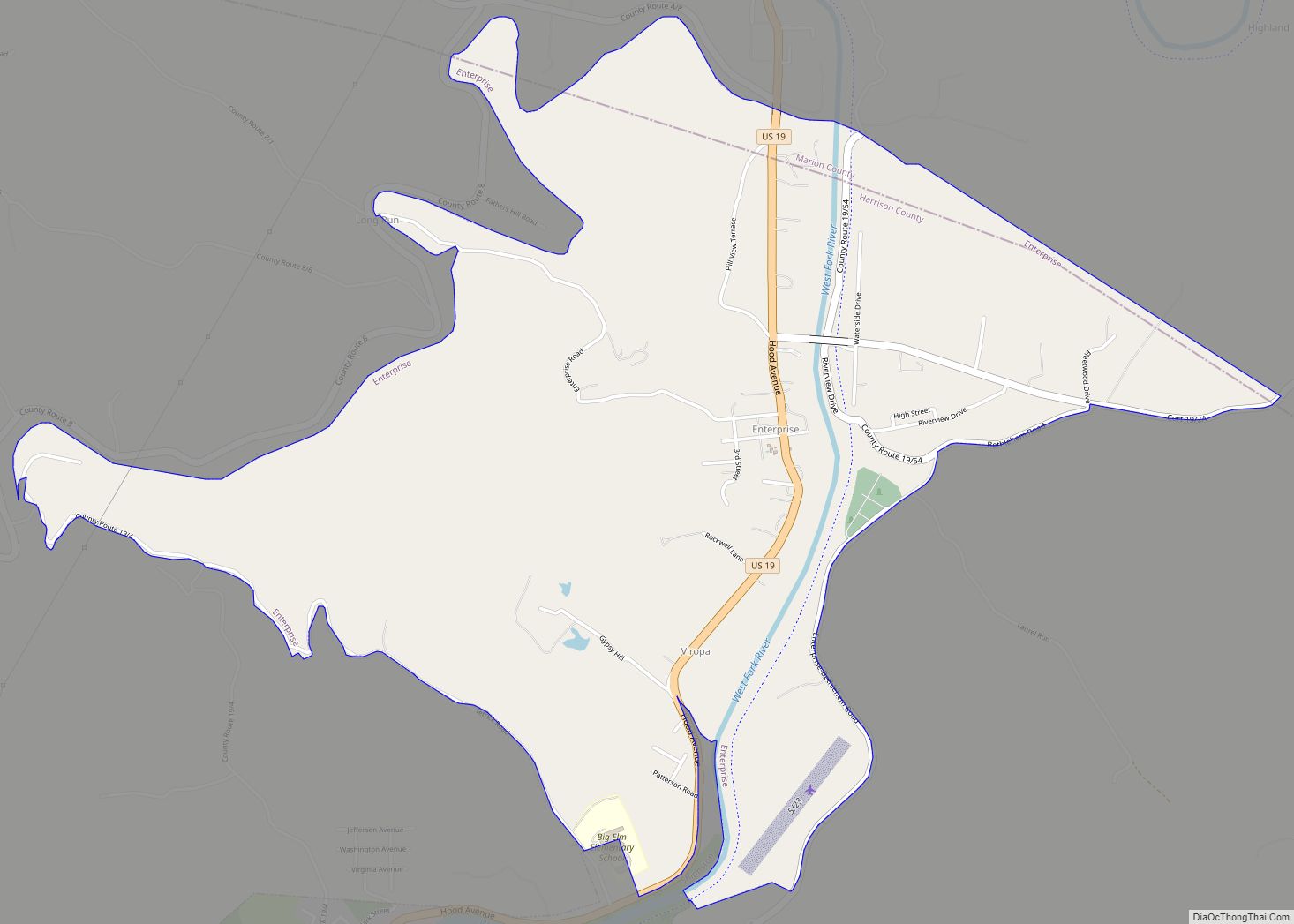
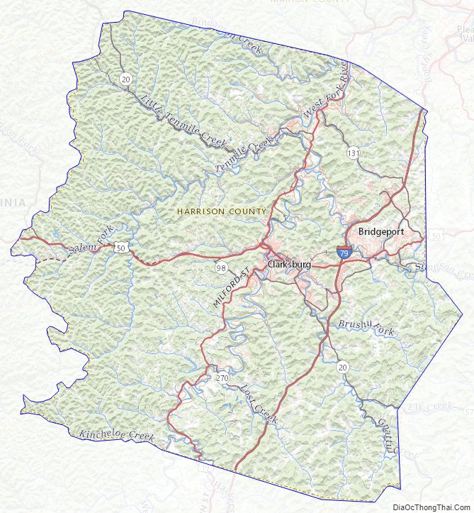
The county terrain consists of low rolling hills, largely wooded, etched by drainages and creeks. The terrain slopes to the West Fork River valley from both east and west borders, and also generally slopes to the north. Its highest point is on its south corner, at 1,736′ (529m) ASL. The county has a total area of 417 square miles (1,080 km), of which 416 square miles (1,080 km) is land and 0.5 square miles (1.3 km) (0.1%) is water. The county is drained by the north-flowing West Fork River and its tributaries, including Tenmile Creek, Simpson Creek, and Elk Creek.
Major highways
- Interstate 79
- U.S. Route 19
- U.S. Route 50
- West Virginia Route 20
- West Virginia Route 23
- West Virginia Route 57
- West Virginia Route 58
- West Virginia Route 76
- West Virginia Route 98
- West Virginia Route 131
- West Virginia Route 270
- West Virginia Route 279
Airports
- North Central West Virginia Airport – northeast of Bridgeport
- Wade F. Maley Field – northeast of Shinnston
Adjacent counties
- Marion County – north
- Taylor County – east
- Barbour County – southeast
- Upshur County – south
- Lewis County – southwest
- Doddridge County – west
- Wetzel County – northwest
Protected areas
- Watters Smith State Park
Lakes
- Deegan Lake
- Lake Floyd
- Maple Lake
- Mine 95 Water Supply Reservoir
- Oral Lake
- Salem Auxiliary Lake
Harrison County Topographic Map
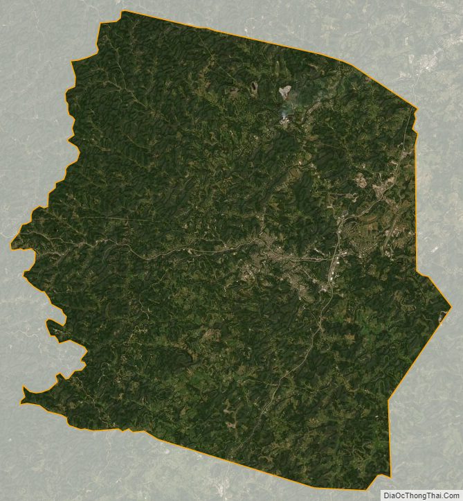
Harrison County Satellite Map
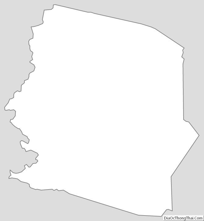
Harrison County Outline Map