Bridgeport is a city in eastern Harrison County, West Virginia, United States. The population was 9,325 at the 2020 census. It is part of the Clarksburg micropolitan area in North Central West Virginia. Bridgeport had its beginning in pre-American Revolutionary War times. In 1764, John Simpson entered the area and gave his name to Simpson Creek. Bridgeport was chartered in 1816.
| Name: | Bridgeport city |
|---|---|
| LSAD Code: | 25 |
| LSAD Description: | city (suffix) |
| State: | West Virginia |
| County: | Harrison County |
| Elevation: | 1,020 ft (311 m) |
| Total Area: | 10.73 sq mi (27.80 km²) |
| Land Area: | 10.69 sq mi (27.69 km²) |
| Water Area: | 0.04 sq mi (0.11 km²) |
| Total Population: | 9,325 |
| Population Density: | 827.05/sq mi (319.33/km²) |
| ZIP code: | 26330 |
| Area code: | 304, 681 |
| FIPS code: | 5410180 |
| GNISfeature ID: | 1536341 |
| Website: | www.bridgeportwv.com |
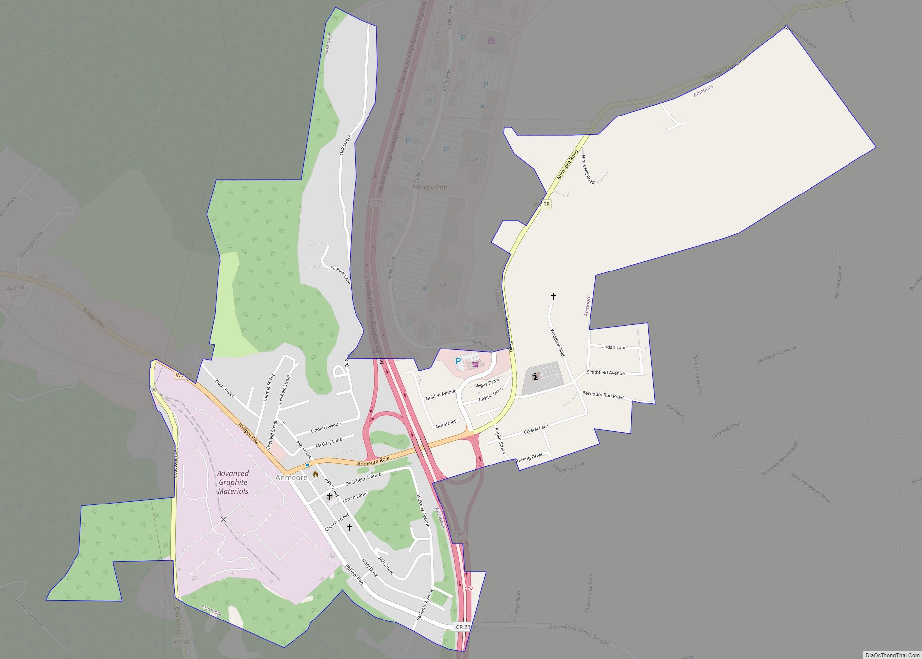
Online Interactive Map
Click on ![]() to view map in "full screen" mode.
to view map in "full screen" mode.
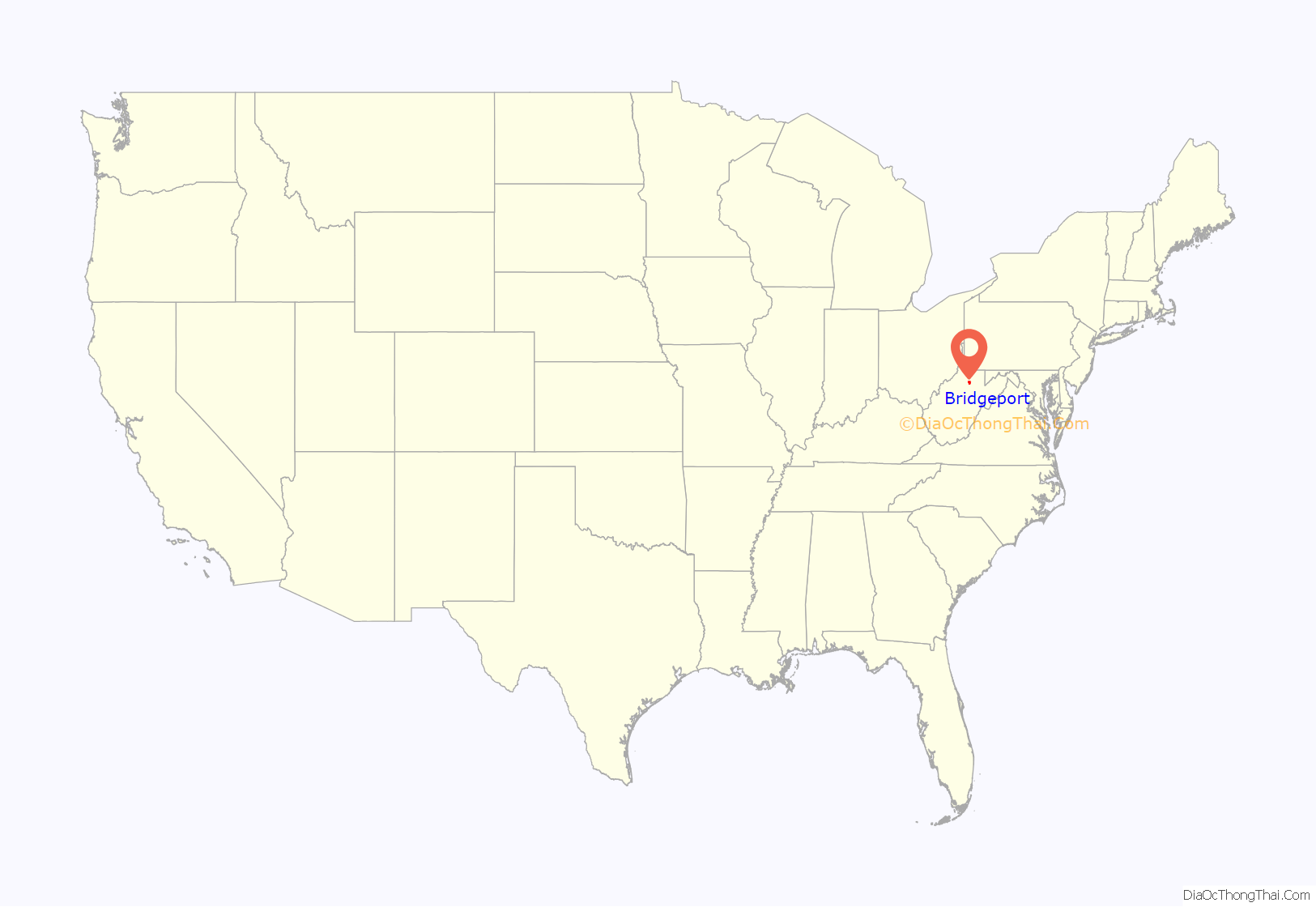
Bridgeport location map. Where is Bridgeport city?

History
Bridgeport was first settled between 1771 and 1774 with the establishment of Simpson Creek Baptist Church, one of the first churches west of the Allegheny Mountains, and surrounding log cabins. The town is believed to have been named for a bridge across Simpson Creek, but it is unclear what bridge was the namesake. Future Virginia governor Joseph Johnson was said to have seen the bridge as a port and named the town as such. Bridgeport was chartered in 1816 and incorporated in 1887.
The Northwestern Turnpike from Winchester to Clarksburg opened its portion in Bridgeport in 1838; stagecoaches began operating on the line in 1852. During the American Civil War, the town had split loyalties. The Confederate Jones–Imboden Raid of 1863 attacked much of the town’s businesses and residents. Establishing stockyards in the early century, the arrival of the Baltimore and Ohio Railroad in the 1850s led Bridgeport to be a center of trade for the cattle industry. Manufacturers opened in the town in the early 1900s, including the West Virginia Pottery Company, Bridgeport Lamp Chimney Company, and later the Master Glass Company.
On June 29, 2006, the city became noted as the site of a showdown over the issue of separation of church and state in the United States. A portrait of Jesus originally hung on a wall at Bridgeport High School. Two parents filed suit in federal court to have the portrait removed, after the Harrison County Board of Education deadlocked over whether to remove the portrait.[1] The portrait of Jesus was stolen from Bridgeport High School early in the morning on August 17, 2006 and a mirror was put in its place.
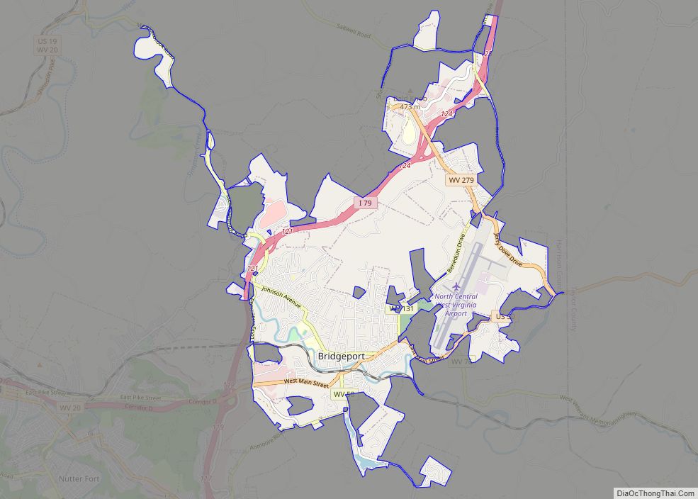
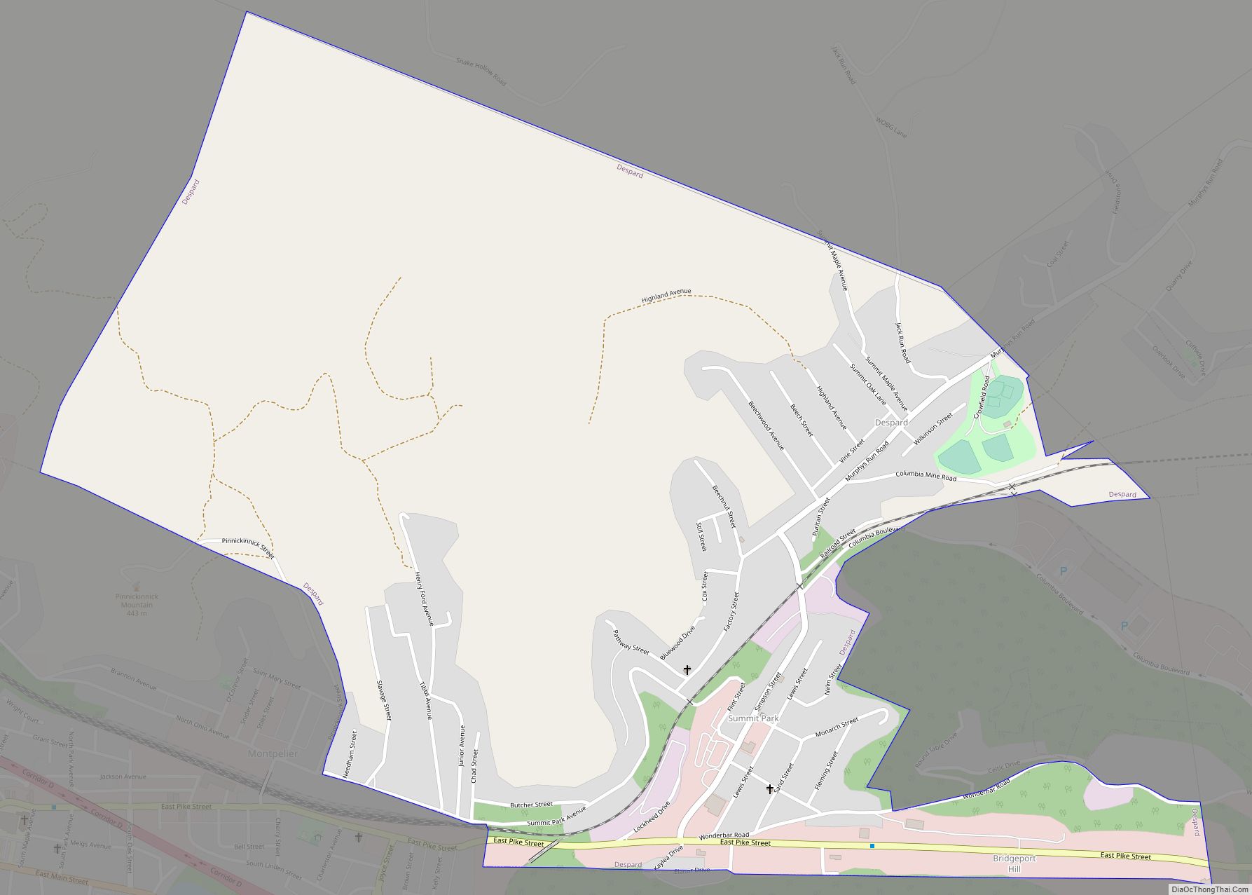
Bridgeport Road Map
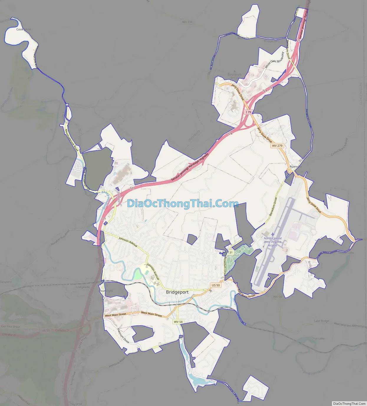
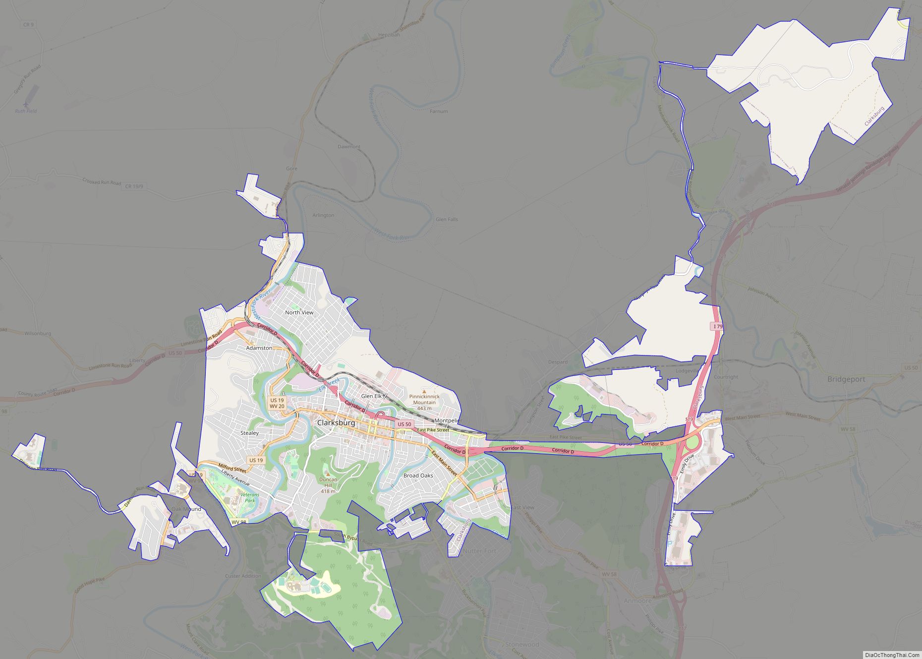
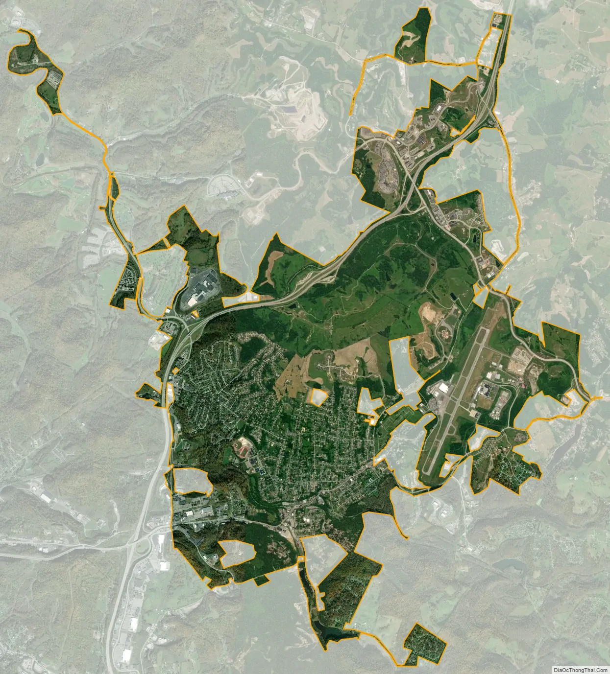
Bridgeport city Satellite Map
Geography
Bridgeport is located at 39°17′48″N 80°15′5″W / 39.29667°N 80.25139°W / 39.29667; -80.25139 (39.296544, -80.251305), along Simpson Creek.
According to the United States Census Bureau, the city has a total area of 10.56 square miles (27.35 km), of which 10.52 square miles (27.25 km) is land and 0.04 square miles (0.10 km) is water.
See also
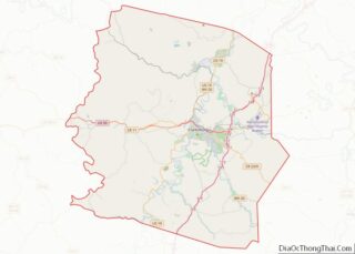
Map of West Virginia State and its subdivision:- Barbour
- Berkeley
- Boone
- Braxton
- Brooke
- Cabell
- Calhoun
- Clay
- Doddridge
- Fayette
- Gilmer
- Grant
- Greenbrier
- Hampshire
- Hancock
- Hardy
- Harrison
- Jackson
- Jefferson
- Kanawha
- Lewis
- Lincoln
- Logan
- Marion
- Marshall
- Mason
- McDowell
- Mercer
- Mineral
- Mingo
- Monongalia
- Monroe
- Morgan
- Nicholas
- Ohio
- Pendleton
- Pleasants
- Pocahontas
- Preston
- Putnam
- Raleigh
- Randolph
- Ritchie
- Roane
- Summers
- Taylor
- Tucker
- Tyler
- Upshur
- Wayne
- Webster
- Wetzel
- Wirt
- Wood
- Wyoming
- Alabama
- Alaska
- Arizona
- Arkansas
- California
- Colorado
- Connecticut
- Delaware
- District of Columbia
- Florida
- Georgia
- Hawaii
- Idaho
- Illinois
- Indiana
- Iowa
- Kansas
- Kentucky
- Louisiana
- Maine
- Maryland
- Massachusetts
- Michigan
- Minnesota
- Mississippi
- Missouri
- Montana
- Nebraska
- Nevada
- New Hampshire
- New Jersey
- New Mexico
- New York
- North Carolina
- North Dakota
- Ohio
- Oklahoma
- Oregon
- Pennsylvania
- Rhode Island
- South Carolina
- South Dakota
- Tennessee
- Texas
- Utah
- Vermont
- Virginia
- Washington
- West Virginia
- Wisconsin
- Wyoming