Anmoore is a town in Harrison County, West Virginia, United States. It is located at the intersection of WV 58 and Interstate 79. The population was 514 at the 2020 census.
The town derives its name from nearby Ann Moore Run.
| Name: | Anmoore town |
|---|---|
| LSAD Code: | 43 |
| LSAD Description: | town (suffix) |
| State: | West Virginia |
| County: | Harrison County |
| Elevation: | 1,014 ft (309 m) |
| Total Area: | 1.06 sq mi (2.74 km²) |
| Land Area: | 1.06 sq mi (2.74 km²) |
| Water Area: | 0.00 sq mi (0.00 km²) |
| Total Population: | 514 |
| Population Density: | 694.42/sq mi (268.17/km²) |
| ZIP code: | 26323 |
| Area code: | 304 |
| FIPS code: | 5401900 |
| GNISfeature ID: | 1534961 |
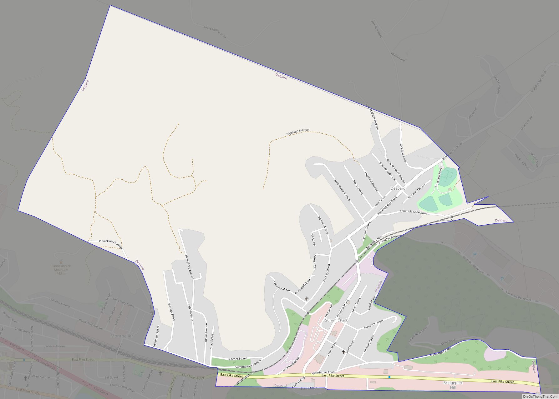
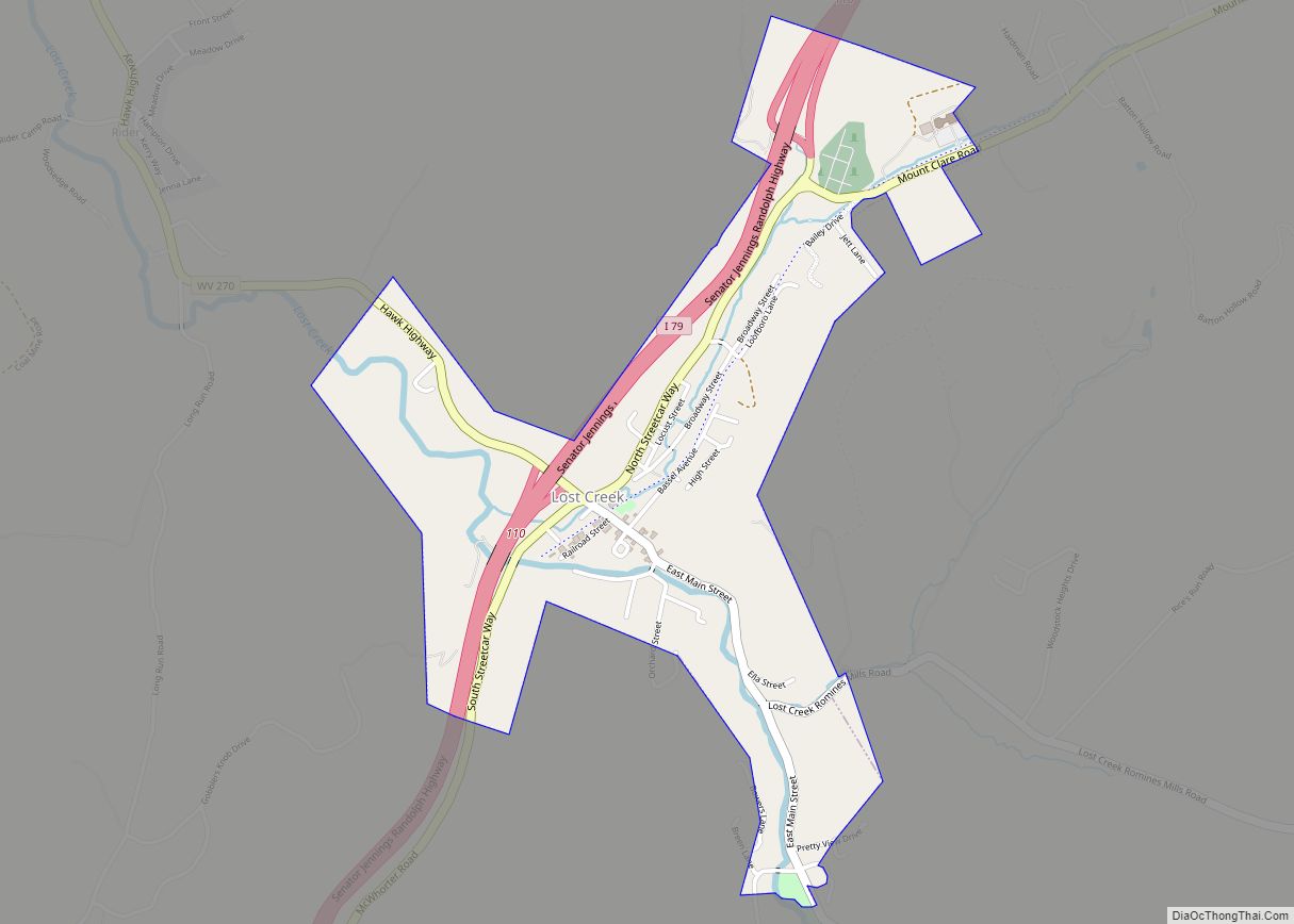
Online Interactive Map
Click on ![]() to view map in "full screen" mode.
to view map in "full screen" mode.
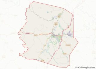
Anmoore location map. Where is Anmoore town?


History
The community was first settled by Andrew Cottrill (1736-1781) in 1772.
In 1903, 453 acres were purchased to create the Steelton Addition to the city of Clarksburg and representatives of the Cleveland, Ohio based Grasselli Chemical company agreed to locate a plant on the property. In May 1904, operations began at the first unit of the chemical plant employing 50. In June 1904, plans were developed to construct houses to rent to plant employees. Many of the workers were immigrants from Asturias, Spain. In 1917, a post office was established and given the name of Anmoore. In December 1950, the city was incorporated and Victor Gonzalez was elected the first mayor.
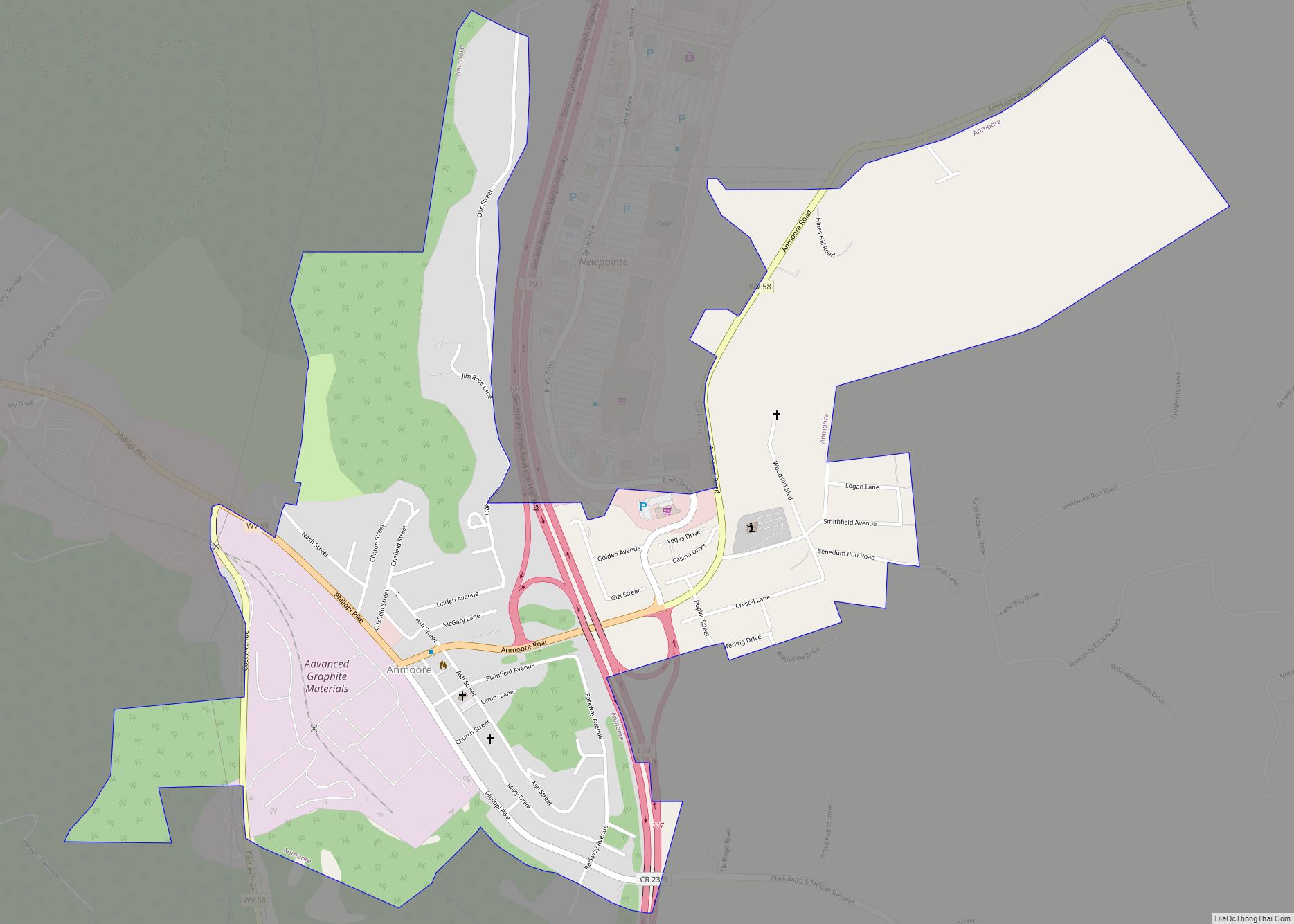
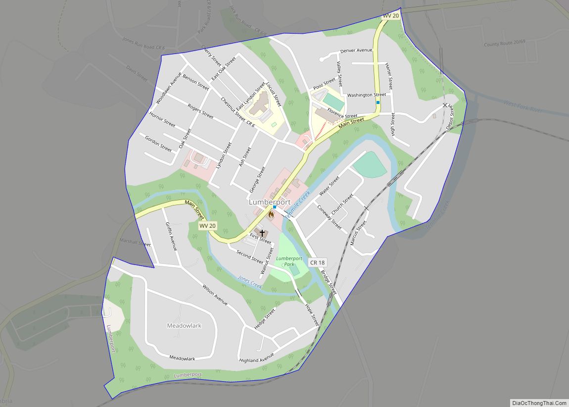
Anmoore Road Map

Anmoore city Satellite Map

Geography
Anmoore is located at 39°15′30″N 80°17′17″W / 39.25833°N 80.28806°W / 39.25833; -80.28806 (39.258328, -80.287987).
According to the United States Census Bureau, the town has a total area of 1.06 square miles (2.75 km), all land.
See also
Map of West Virginia State and its subdivision:- Barbour
- Berkeley
- Boone
- Braxton
- Brooke
- Cabell
- Calhoun
- Clay
- Doddridge
- Fayette
- Gilmer
- Grant
- Greenbrier
- Hampshire
- Hancock
- Hardy
- Harrison
- Jackson
- Jefferson
- Kanawha
- Lewis
- Lincoln
- Logan
- Marion
- Marshall
- Mason
- McDowell
- Mercer
- Mineral
- Mingo
- Monongalia
- Monroe
- Morgan
- Nicholas
- Ohio
- Pendleton
- Pleasants
- Pocahontas
- Preston
- Putnam
- Raleigh
- Randolph
- Ritchie
- Roane
- Summers
- Taylor
- Tucker
- Tyler
- Upshur
- Wayne
- Webster
- Wetzel
- Wirt
- Wood
- Wyoming
- Alabama
- Alaska
- Arizona
- Arkansas
- California
- Colorado
- Connecticut
- Delaware
- District of Columbia
- Florida
- Georgia
- Hawaii
- Idaho
- Illinois
- Indiana
- Iowa
- Kansas
- Kentucky
- Louisiana
- Maine
- Maryland
- Massachusetts
- Michigan
- Minnesota
- Mississippi
- Missouri
- Montana
- Nebraska
- Nevada
- New Hampshire
- New Jersey
- New Mexico
- New York
- North Carolina
- North Dakota
- Ohio
- Oklahoma
- Oregon
- Pennsylvania
- Rhode Island
- South Carolina
- South Dakota
- Tennessee
- Texas
- Utah
- Vermont
- Virginia
- Washington
- West Virginia
- Wisconsin
- Wyoming