Juniata County is a county in the Commonwealth of Pennsylvania. As of the 2020 census, the population was 23,509. Its county seat is Mifflintown. The county was created on March 2, 1831, from part of Mifflin County and named for the Juniata River.
Mountains in Juniata County include Tuscarora Mountain and Shade Mountain. Agricultural land and forested land make up most of the county’s area. Major rivers and creeks in the county include the Susquehanna River, the Juniata River, Tuscarora Creek, and West Branch Mahantango Creek. It borders seven other counties. The county lies over 16 different rock formations (which are from the Ordovician, Silurian, and Devonian) and 51 different soils.
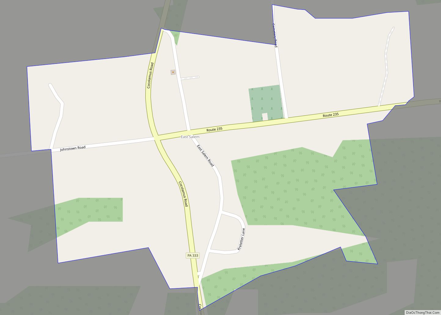
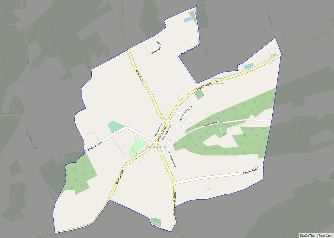
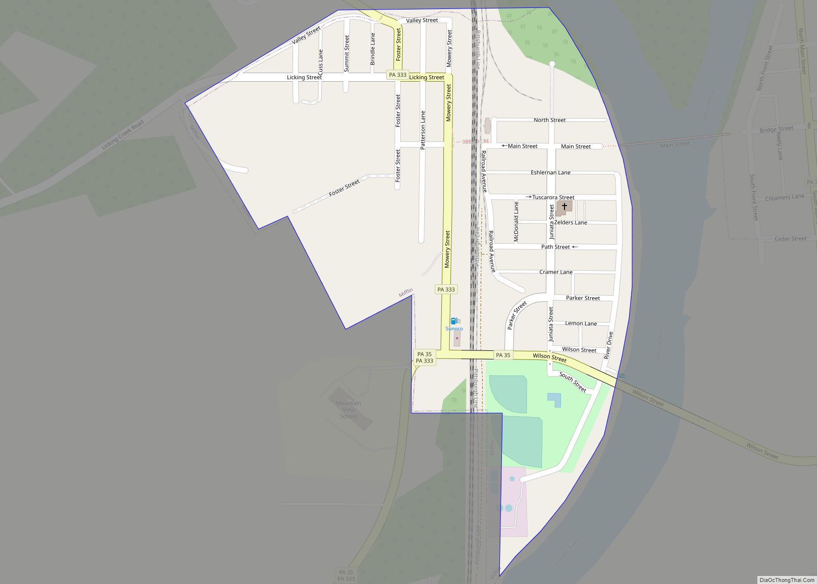
Juniata County has a relatively low population density. The most population-dense parts of the county are the boroughs of Mifflintown and Mifflin. The main roads in Juniata County are Pennsylvania Route 235, Pennsylvania Route 35, Pennsylvania Route 104, U.S. Route 11/U.S. Route 15, U.S. Route 22/U.S. Route 322, Pennsylvania Route 74, Pennsylvania Route 850, and Pennsylvania Route 333.
The county has four boroughs and thirteen townships. It is served by two school districts, the Juniata County School District and Greenwood School District. There are five areas in Juniata County that are protected by the Central Pennsylvania Conservancy and 59 natural heritage sites in the county.
The first European settlers arrived in Juniata County in the 1750s. The county has historically been part of Mifflin County and before that, part of Cumberland County.
| Name: | Juniata County |
|---|---|
| FIPS code: | 42-067 |
| State: | Pennsylvania |
| Founded: | March 2, 1831 |
| Named for: | Juniata River |
| Seat: | Mifflintown |
| Total Area: | 394 sq mi (1,020 km²) |
| Land Area: | 391 sq mi (1,010 km²) |
| Total Population: | 23,509 |
| Population Density: | 60/sq mi (20/km²) |
| Time zone: | UTC−5 (Eastern) |
| Summer Time Zone (DST): | UTC−4 (EDT) |
| Website: | www.co.juniata.pa.us |
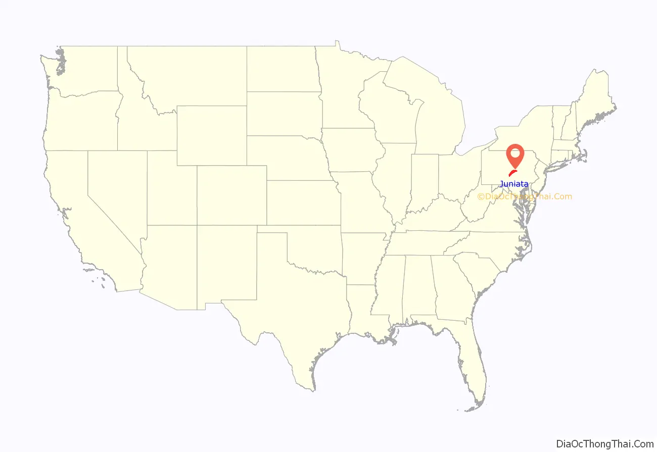
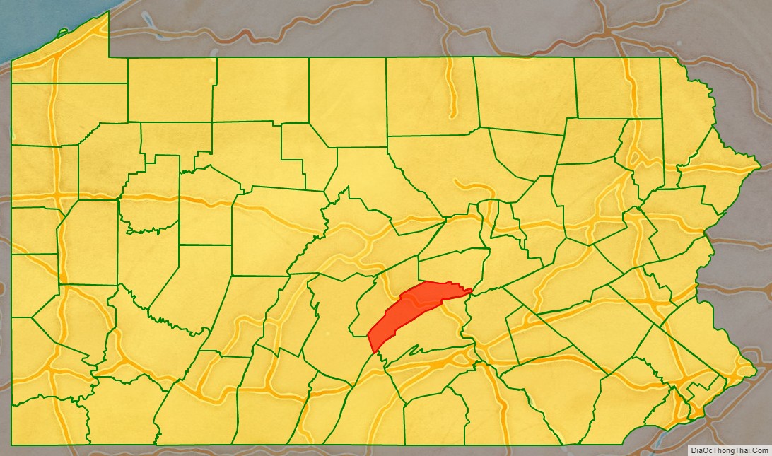
Juniata County location map. Where is Juniata County?
History
Juniata County was historically a part of Cumberland County and later Mifflin County. Juniata County was formed on March 2, 1831, from parts of Mifflin County. It is named after the Juniata River. The word “juniata” itself is a Seneca word that means either “people of the standing stone” or “blue waters”. The first boroughs in the county to be settled were Mifflintown and Thompsontown, which were settled in 1790. Port Royal and Mifflin were settled in 1812 and 1848, respectively. The first of these boroughs to be incorporated was Mifflintown, on March 6, 1833, and the last was Thompsontown, on February 7, 1868. However, the first settlers (unauthorized squatters) arrived in the county and were removed from it considerably earlier, by 1750. One of the first warrants for land in the county was issued in 1755. Many of the earliest landowners in Delaware Township were speculators as opposed to settlers. There was an Indian raid in the county in 1755 and 1756, although Fort Bingham and Fort Peterson had been constructed. The Beale family was one of the earliest families to inhabit the county. More settlers arrived in the 1750s and 1760s and the first gristmill on the western side of the Juniata River was built in the county in 1767. A public road was built in the county between Tuscarora Creek and a location near Shade Mountain in 1768. John Hamilton constructed a sawmill and gristmill on Cocolamus Creek in Delaware Township in 1776. The first known physician in the county, Dr. Ezra Doty, settled in Mifflintown in 1791.
The first four townships in what would become Juniata County were formed on October 23, 1754. They were Lack Township, Aire Township, Fannett Township, and Tyrone Township. These early townships had no formal boundaries. By 1913, the original townships had been divided into a total of 13 townships.
The Pennsylvania Canal began serving Juniata County in 1826 and closed in 1900. The Pennsylvania Railroad reached the county in the late 1840s. The Tuscarora Valley Railroad was also in the county until it closed in 1934.
During Hurricane Agnes in 1972, a total of 6374 acres of Juniata County were flooded. 57 families were displaced during this flooding.
Juniata County was the last county in Pennsylvania to develop a modern comprehensive plan. It did, however, construct a comprehensive plan in 1974.
In a 1997 survey, 66.8% of respondents found Juniata County a “very desirable” living place. In a similar survey in 2007, however, only 56.9% of respondents found the county a “very desirable” living place.
Historic places
Eight locations in Juniata County are listed on the National Register of Historic Places. They were listed between 1972 and 1986. They include the Academia Pomeroy Covered Bridge, the Tuscarora Academy, and the Book site in Beale Township; the Lehmans-Port Royal Bridge in Milford Township; and the East Oriental and North Oriental covered bridges. The Dimmsville Covered Bridge in Greenwood Township had been designated as a historic place, but fell into disrepair and collapsed in April 2017. Eight additional places are eligible for a listing on the National Register of Historic Places. There are five Pennsylvania Historical and Museum Commission historical markers in Juniata County. They commemorate the Tuscarora Path, the Tuscarora Academy, Patterson’s Fort, Fort Bingham, and Juniata County itself.
The Academia Pomeroy Covered Bridge (also known as the Pomeroy Academia Covered Bridge) was built in 1901. It is 18 feet (5.5 m) wide and 278 feet (85 m) long, making it one of the longest remaining covered bridges in Pennsylvania.
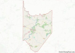
Juniata County Road Map
Geography
According to the U.S. Census Bureau, the county has a total area of 394 square miles (1,020 km), of which 391 square miles (1,010 km) is land and 2.2 square miles (5.7 km) (0.6%) is water.
Juniata County is located between two major metropolitan areas. One is State College, which is northwest of the county. The other is Harrisburg, which is to the southeast of the county. U.S. Route 22/U.S. Route 322, which is a four-lane highway, leads from the county to these metropolitan areas.
Parts of Juniata County are fairly flat, but there are areas in the county with slopes of 25% or greater. However, most development in the county is confined to areas with slopes of 15% or less. Many of the county’s steepest slopes, with grades of 25% of more, are located on the edges of the county. These slopes are generally found on mountainous ridges. However, there are some similarly steep slopes in the middle of the county. All four boroughs in the county have slopes with a grade of 25% or more near them. Slopes of 15% to 25% can be found throughout the county.
Much of Juniata County is hilly. Mountains occupy many of the county’s borders. Tuscarora Mountain forms the county’s border with Perry County. Shade Mountain runs from Snyder County through Juniata County and into Huntingdon County.
There are two locations in Juniata County that the Juniata County Comprehensive Plan describes as “outstanding and unique scenic features”. These are Hawstone Overlook and the Concord Narrows. Hawstone Overlook is an overlook in Milford Township on Pennsylvania Route 333, from which the Juniata River between Shade Mountain and Blue Mountain can be seen, as well as the Lewistown Narrows. The Concord Narrows are a narrow water gap where the Juniata River flows past Tuscarora Mountain. Quartizite from the Silurian Period can be found in this water gap.
Rivers and watersheds
There are several major streams and rivers in Juniata County. These include the Susquehanna River, the Juniata River, Tuscarora Creek, Cocolamus Creek, West Branch Mahantango Creek, Licking Creek, and Lost Creek.
112,000 acres, or 45% of Juniata County’s area is in the Tuscarora Creek watershed, including the borough of Port Royal. 59,000 acres (24% of the county’s area) is in the Juniata River watershed. This area includes parts of all four of the boroughs in the county. 26,000 acres of Juniata County are in the Cocolamus Creek watershed and a similar amount of the county is in the watershed of Lost Creek. 20,000 acres (8% of the counties area) are in the West Branch Mahantango Creek watershed.
Land use
Residential land makes up more than 50,000 acres, or one fifth, of Juniata County’s area. The bulk of residential land is single-family dwellings, but seasonal homes and mobile homes also make up significant portions of it. The county’s residential land is concentrated along in its boroughs, but occurs along roads and in villages throughout the county. Multi-family residential land is comparatively rare. Less than 1% of the county’s land (430 acres) is used for manufacturing purposes. Only approximately 370 acres are used for transportation and utilities. Roughly 300 acres are used for transportation and communication and 70 acres are used for other utilities. Businesses make up 0.21% of the county’s land, or 525 acres. 490 acres are devoted to retail businesses, while 35 acres are devoted to wholesale businesses. Services occupy 0.67% of the county’s area.
Land devoted to recreation in Juniata County makes up 0.5%, or 1000 acres, of its area. Agricultural land comprises 41% (101,000 acres) of the county. A total of 167,500 acres, or approximately two thirds of the county’s area, is forested land. Large portions of the southwestern part of the county are forested. 34% of the county’s land is undeveloped, most of which (60,000 acres) is unused land.
The vast majority of Juniata County is rural land. However, there are a few rural hamlets and villages (which have one to four housing units per acre) scattered throughout the county. There is also an area termed a “high growth area” by the Juniata County Comprehensive Plan near the boroughs of Mifflin and Mifflintown. It has between 8 and 17 housing units per acre. The Juniata County Comprehensive Plan also designates areas near Thompsontown and Port Royal as “rural growth area[s]”. These areas have three to six housing units per acre.
Climate
Juniata has a humid continental climate, which is hot-summer (Dfa), except in higher areas where it is warm-summer (Dfb). Average temperatures in the Mifflin-Mifflintown vicinity range from 28.1 °F in January to 73.2 °F in July. [1]
Adjacent counties
- Snyder County (north)
- Northumberland County (northeast)
- Mifflin County (northwest)
- Perry County (south)
- Franklin County (south)
- Dauphin County (southeast)
- Huntingdon County (southwest).
